1457 risultati
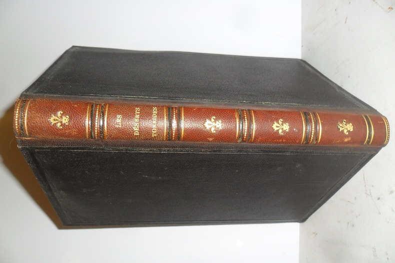
rif. 28243Tours, Alfred Mame & Fils,1884 - In-8 - Reliure chagrin - Dos à faux nerfs orné - 213 pages. Gravure en noir et blanc en frontispice. Illustré de nombreuses gravures en noir et blanc dans et hors texte - Illustrations de Yan'Dargent, Foulquier et W. Freeman - 213 pages - Bel exemplaire - Envoi rapide et soigné
Tours, Alfred Mame & Fils,1884 - In-8 - Reliure chagrin - Dos à faux nerfs orné - 213 pages. Gravure en noir et blanc en frontispice. Illustré de nombreuses gravures en noir et blanc dans et hors texte - Illustrations de Yan'Dargent, Foulquier et W. Freeman - 213 pages - Bel exemplaire - Envoi rapide et soigné
rif. QWA-20433Tours, Alfred Mame et Fils, 1876, in-8 rel. 1/2 bas. vert (15,5 x 24), 576 p.,3ème édition, illustrations de Karl Girardet, lettrines, dos à 4 faux-nerfs et fleurons, reliure d'époque solide un peu frottée, intérieur propre sans rousseurs, assez bon état.
2013rif. 630961 vol. in-8 br., Académie des Inscriptions et Belles-Lettres, Paris, 2013, 306 pp.
1931Mm 180x285 "Pubblicazioni dell'Istituto per l'Oriente" - Volume nella sua brossura originale con copertina a stampa, vii-264 pagine. Copia in ottime condizioni; spedizione in 24 ore dalla conferma dell'ordine.
1949rif. WOC-1183Ouvrage illustré du portrait en frontispice du Souverain du Koweit, de nombreuses planches de photographies hors-texte, des dessins dans le texte: costumes, selles de chameau, équipement de faucaunier, armes, équipements pour femmes, des planches en couleurs hors-texte de bijoux, cartes, etc. Londres George Allen, 1949. Grand in-8 (24x15,5cm) toile éditeur orange et titre doré au dos sur rouge. 664pp.
1930Un volume di 273-(3) pagine. Mezza tela editoriale. Buonissime condizioni per questa rara grammatica araba per italiani residenti in Egitto.
3 volumes in-16, 476 - 468 - 461 pages, brochés. Très bel ensemble, très frais. [P-2]
1854Mm 120x180 Volume nella sua brossura originale con titolo su cornice al piatto che mantiene una piccola etichetta di biblioteca privata dismessa, 312 pagine. Copia in ottime condizioni; spedizione in 24 ore dalla conferma dell'ordine.
1816rif. 270411816 1 map : color ; 26.4 x 29.0 cm- Scale [ca. 1:80 000 000]- Carte géographique de l' Atlas classique et universel de geographie ancienne et moderne : dresse pour linstruction de la jeunesse, et notamment pour les colleges royaux, et les ecoles militaires- Auteur :Lapie, M.- Éditeur: A Paris : Chez Magimel, Anselin, et Pochard, et chez Pic 1816.
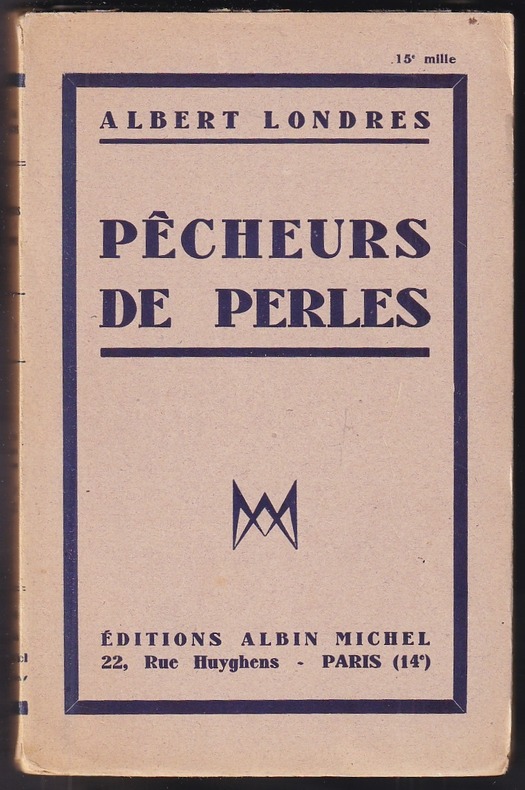
1931rif. 183861931 Paris, éditions Albin Michel, 1931. Édition originale, exemplaire du tirage courant imprimé sur vélin d'alfa, avec mention de 15è mille. In-12 broché de 253 pp., orné d'une carte en frontispice et contenant 28 photographies réparties en 16 planches hors texte. Des rousseurs.
20071 vol. in-4 à l'italienne, cartonnage éditeur, couv. ill. couleurs, nombr. ill. couleurs ou noir et blanc, Presses de la Renaissance, 2007, 107 pp. Bon état (petit étiq. d'ex dono en plat inf., très bon état par ailleurs) pour ce livre écrit par le petit-fils de l'écrivain aventurier. Français
1961rif. X73958Louvain, Publications Universitaires / Institut Orientaliste 1961 xv + 248pp. + 12 planches hors-texte + 7 cartes, 27cm., dans la série "Bibliothèque du Muséon" vol.48, relié en couverture demi-toile, 2 cachets au verso de la page de titre, 2 étiqettes de bibl. enlevées, petite bande découpée en haut de la page de titre (sans perte de texte), sinon en bel état, X73958
1961xv + 248pp. + 12 planches hors-texte + 7 cartes, 27cm., dans la série "Bibliothèque du Muséon" vol.48, relié en couverture demi-toile, 2 cachets au verso de la page de titre, 2 étiqettes de bibl. enlevées, petite bande découpée en haut de la page de titre (sans perte de texte), sinon en bel état, X73958
1931Reliure demi-chagrin (rouge). 692 pages. 21x28cm. Dos à nerfs. Titre doré.
1846rif. 50938CBBerlin, G. Reimer Verlag, 1846. 8°. 21 cm. 1035 Seiten. Neuer Halbleinenband mit aufgeklebtem Rückenschildchen. Die Erdkunde im Verhältniß zur Natur und zur Geschichte des Menschen. Oder der allgemeine vergleichende Geographie, als
rif. 5464Paris, Berche et Tralin, Libraires-éditeurs, 1883, reliure demi-chagrin marron, dos à 4 nerfs, titre et fleurons dorés, 14x22 cm, 334 pages.
rif. PHO-687Paris, Payot, 1937, in-8, plein chagrin rouge, dos à nerfs, insolé, couv. conserv. ,208pp , illustrations , bel exemplaire.
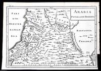
1748rif. 372049Printed for T. Osborne in Gray's Inn; A. Miller in the Strand; and J. Osborn in Paternoster Row London 1748. Unframed Print. Very Good Condition. This 1748 engraved map provides a detailed representation of Arabia Petraea the region covering parts of modern-day Jordan Sinai and northwestern Saudi Arabia and Arabia Deserta the vast desert lands of the Arabian Peninsula. It highlights key geographical features ancient trade routes and settlements reflecting the European understanding of the region at the time. The engraving was printed in London by T. Osborne A. Miller and J. Osborn.1 folding plate. Close cropped at the right margin. Size: 20 x 30 cms. Category: Universal History; PRINTS : Antiquarian Interest; Printed before 1800; Special Interest. This item may require more postage than the rates shown for delivery outside the UK. If extra postage is required we will contact you before processing your order and you will be given the details and option to decline the extra cost. Printed for T. Osborne, in Gray's Inn; A. Miller, in the Strand; and J. Osborn, in Paternoster Row unknown
rif. 1546246673.Ghardcover. Good. Access codes and supplements are not guaranteed with used items. May be an ex-library book. hardcover
1942Hamilton travelled to Shabwa, the "Hidden City of Arabia", as a Political Officer on duty; beginning his journey from Beihan in the winter of 1938, following the course of the Wadi Balharith, the continuation of Wadi Beihan, in the company with about two hundred and fifty of the Bal Harithand Karab tribe. He brought with him a copy of Philby's lecture and maps and his notes of his own journey dating from 1931. In this fascinating report he makes many remarks on Philby's report and findings, and gives a vivid description of the geographical features, the tribes, ruins as well as his excavation. Hamilton believed that the wall city of Shabwa was a cemetery, collection of mausolea and graves, and suggesting that the ruin area, which includes Jardan, Markjha and Beihan, was the southern collecting point for caravans from the south coast. 19 pages, including sketch map and black and white plates. Original condition with blue wrappers, titles to front, and containing all the ads. This is a complete issue, seldom found in such good and original condition.
193818 pages, including several sketch maps. Plus a full-page colour map and many photographic plates. Original condition with blue wrappers, titles to front, and containing all the ads. This is a complete issue, seldom found in such good and original condition. Dr. Alfons Gabriel (1894 – 1976) was a Viennese doctor of medicine as well as an acclaimed geographer and travel writer who, accompanied by his wife Agnes, explored the deserts of Iran, in three expeditions in the years 1927 to 1928, 1933 and 1937. He also spent a great deal of time in the Dutch East Indies. Among his highly acclaimed books include "Durch Persiens Wüsten" [Through Deserts of Persia], published in 1935, which was translated to Persian. Dr. Gabriel's first expedition in the years 1927-28 was commenced from the Persian Gulf, travelling into the mountainous country of Bashagird in southern Iran, where he entered Anguran, and via the Jaz Murian swamp penetrated into the Lut, crossed the desert by new paths, and investigated the great northern Iranian salt-swamps. Four years later in 1933 he undertook his second journey, spending several months in the salt-swamps of northern Iran, exploring the sand desert of the Rig-i-Jinn, the Desert of Ghosts, then crossed the middle part of the Lut, and continued to the south into the Sarhad of Iranian Baluchistan. Accompanied by a colour route map and many spectacular photographic images, this important first-hand report delineates Dr. Gabriel's third and last journey in 1937, during which he explored the unknown territory of southern Lut, the great desert of Iran and Iranian Baluchistan, which resulted in filling several blanks on map. He provides vivid description of his journey and includes fascinating remarks on sandstorms, the inhabitants of Hudiyan, date plantations, remains of old stone buildings belonging to Kafar race, remains of old settlements at Surk, fortress of Hajji Agha Khan at Khash, and much more.
1980Minor edgewear. Bumping to base of spine. ; Looks at the life and actions of the Crown Prince of Saudi Arabia. Heavy Book. ; 269 pages
Endpapers browned. Foxing to edges; Two young widowed ladies travel to and fro in Arabia; B&W Photographs; 8vo; 287 pages