5211 risultati
1892pp. x, 223, 24 [Publisher's catalogue] + folding map and two full page maps of London in various time periods. XLib stamp on title page. Engraved XLib bookplate. Text foxed. 8vo. Original full purple cloth binding. Faded gold lettered spine. Gilt decoration on front cover with embossed lettering in blind. Hardbound. Though XLib, this is still a nice copy. TRAVEL/1
1961pp. vii, 23 + Plus numerous drawings, maps and photographs of the excavation. 4to. Original printed blue wraps. Very good copy. First excavated by James Pritchard (1956-1962), Gibeon has significant archaeological remains - especially from the days of the early Israelites. First Edition. SCIENCE BOX 3
191263p. + Plus three folding maps. Text illustrated with maps, charts, drawings and diagrams. 8vo. Original full red cloth binding, very slightly soiled. Nice copy. First issued in 1909. WWI 5
1952pp. frontis, xii, 212. Nearly two hundred line illustrations. 8vo. Original full cloth binding. Original dust jacket. Chipped. ART 1
2004IN HEBREW AND ENGLISH. Contains a map. 24x17 cm. 116+91 pages. Softcover. In good condition.
2001rif. 16600Lawrence KS: University Press of Kansas 2001. Hardcover. Very good. Hardcover. 9 1/2" X 6 1/4". xvii 364pp. Mild rubbing toning and shelf wear to covers corners and edges of black cloth over boards. Spine lettered in gilt. Gentle bump to tail of spine. Pages are clean and unmarked. Binding is firm and sound. ABOUT THIS BOOK: For centuries the world has witnessed the development and use of increasingly complex and powerful military systems and technologies. In the process the "art of war" has truly become the art of combined arms warfare in which infantry artillery air support intelligence and other key elements are all coordinated for maximum effect. Nowhere has this trend been more visible than in the history of twentieth-century warfare. Originally published as an essential "in-house" study for U.S. Army officers during the 1980s this much revised and expanded edition remains the most complete study available on the subject. Rewritten with a much wider readership in mind it both retains its enormous practical utility for military professionals and provides a valuable and appealing introduction for scholars and general readers. Jonathan House author of the original work brings the story of combined arms up to the present covering among other things Desert Storm the war in Chechnya and the rise of "smart weapons" and related technologies. He traces the evolution of tactics weapons and organization in five major militaries-American British German Russian and French-over 100 years of warfare. Revealing both continuities and contrasts within and between these fighting forces he also provides illuminating glimpses of Israeli and Japanese contributions to combined arms doctrine. Expanding his insightful analysis of the world wars and the wars in Korea and Vietnam House also offers much new material focused on the post-Vietnam period. Throughout he analyzes such issues as command-and-control problems of highly centralized organizations the development of special operations forces advances in weapons technology-including ballistic and anti-ballistic missile systems-the trade-offs involved in using "heavy" versus "light" armed forces and the enduring obstacles to effective cooperation between air and land forces. His strong critique of the "air superiority" propaganda that came out of the Gulf War is sure to spark some heated debates. Rigorously comparative House's study addresses significant questions about how nations prepare for war learn or don't learn its harsh lessons and adapt to changing times and technologies. Unique in the annals of the literature on warfare it will be the standard work on this subject for a long time to come.Publisher. University Press of Kansas hardcover books

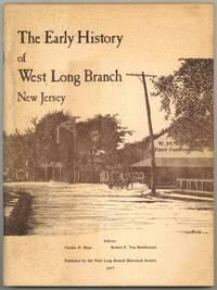
1977rif. 598584West Long Branch: West Long Branch Historical Society 1977. Softcover. Very Good. First edition. Quarto. 86pp. Illustrated. Stapled illustrated wrappers. Small bookplate foxing on wrappers and a few leaves else very good. West Long Branch Historical Society unknown books
1955rif. 312611Jerusalem: Ben-Dor Israel Publishing Co. Ltd 1955. Paperback. Respectively 129 xxvi 127-280 xxiv 281-398 xxiv. Matching small softbounds in upright paper covers 6.5x3.5 inches diverse monochrome colors for each installment. Later issues were bound together in a singleton booklet. Our set a second printing and two firsts are edgeworn with faint abrasion to outer joints. These volumes are quite sound but the text paper is acidic toned and beginning to get fragile. We detect a line of penciling to terminal leaf of v.I else good copies of this complete set all in about the same shape. Ben-Dor Israel Publishing Co. Ltd paperback books
1954rif. UTUCPOL00JMJBobbs-Merrill 1954. Very Good. Tucker Glenn . Poltroons and Patriots: A Popular Account of the War of 1812 Two volumes. Tucker Maps W.T. Indianapolis: Bobbs-Merrill 1954. 812pp. Indexed. Illustrated. 8vo. Cloth with gilt lettering. Book condition: Very good with lightly bumped and yellowed spines. Slipcase is very good with light rubbing and yellowing. Includes monthly bulletin of American History Publication Society. Bobbs-Merrill hardcover books
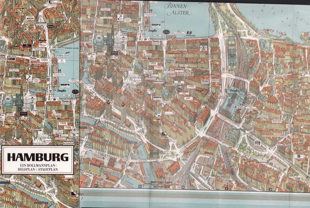
1992rif. 17806(Braunschweig, Bollmann-Bildkarten-Vlg. 1992). Farbiger mehrf. gefalt. "Bildstadtplan" mit perspektivisch eingezeichneten Gebäuden. Maßstab 1:5.500. Verso Straßenplan (Maßstab 1:29.000). Mit 47 vorgehefteten S. (Anzeigen u. Straßenverzeichnis). Blattmaß 55 x 68 cm. Deckel 28 x 11,5 cm. Farb. OKart.
2001rif. 84985(Braunschweig, Bollmann-Bildkarten-Vlg. 2001). Farbiger mehrf. gefalt. "Bildstadtplan" mit perspektivisch eingezeichneten Gebäuden (Maßstab 1:5.500). Verso Straßenplan (Maßstab 1:29.000). Mit 69 vorgehefteten S. (Anzeigen u. Straßenverzeichnis). Blattmaß 50 x 64 cm. Deckel 28 x 11,5 cm. Farb. OKart.
1988rif. 56114(Braunschweig, Archiv-Verlag), [ca. 1988]. 1 farb. mehrf. gefalt. Kte., Blattgröße 42 x 53 cm.
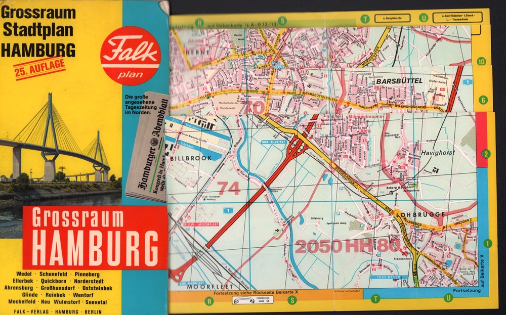
1983rif. 39491Hamburg, Falk-Verlag, 1983. Mehrfach gefalt. farbiger Straßenplan mit Patentfaltung in Hyperboloid-Projektion mit Kilometernetz. Maßstab 1:17.000-1:40.000. Mit 73 S. Straßenverzeichnis, mit Schnellbahnnetz. Blattmaß 81 x 115 cm. Deckel 23,5 cm. OKart.
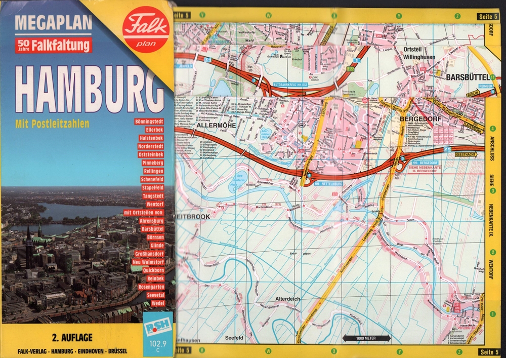
1996rif. 69712(Hamburg, Falk-Verlag, 1996). Mehrf. gefalt. farbiger Straßenplan in Hyperboloid-Projektion mit Kilometernetz im gleitenden Maßstab 1:22.000 - 1:38.000, 1 Übersichts-Kte., verso Innenstadtplan im Maßstab 1:12.500. Mit 96 S. Straßenverzeichnis, Adressen, Verkehrslinien. Blattmaß 95 x 108 cm, Deckelmaß 24 cm. OKart.
1927rif. 18212(Hamburg), 1927. 112 S. Mit zahlr. Abb. im Text sowie 1 gefalt. 3-farb. Plan (Straßenplan / verso Verkehrsplan) als Beilage. OKart.
1988rif. 56335(Braunschweig, Archiv Verlag), [ca. 1988]. 2 gefalt. farb. Blätter (A u. B), Blattgröße je ca. 25 x 54 cm.
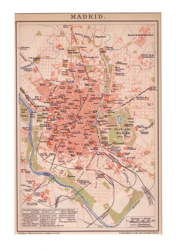
1905rif. 77068Leipzig, F. A. Brockhaus, [ca. 1905]. Bildgröße 20,5 x 26 cm. Unter Feinkartonpassepartout.
1905rif. 77013Leipzig, F. A. Brockhaus, [ca. 1905]. Bildgröße 21 x 14 cm. Unter Feinkartonpassepartout.
1977rif. 63205Fontainebleau. Editions "Mise au Poing". 1977. 61 Seiten. Mit zahlreichen Abbildungen. Ill. Originalbroschur. (Etwas fleckig. Private Widmung auf dem Titelblatt). 25x20 cm
1985rif. 55437(Braunschweig, Archiv-Verlag), [ca. 1985]. 1 mehrfach gefalt. farb. Karte (Blattgröße 55 x 51 cm).
1920rif. 90084(Hamburg), L. Friedrichsen, [ca. 1920]. Mehrfach gefalt. Plan, Maßstab 1:100.000. Blattmaß 29 x 25 cm. Unter Passepartout.
1952Cartonnage de l'éditeur. 380 pages.
1895Une feuille 86x56 cm.
1958Collection " Les Guides Bleus illustrés " . Excursions , nombreux plans de voyage et de villes en noir et blanc . Index . Complet de sa grande carte dépliante en fin d'ouvrage .- 112 p. + plans , 300 gr.
Une feuille. 60x80 cm. Couverture d?fra?chie.