DUFOUR, AUGUSTE HENRI; BONAPARTE, ERHARD R (ENGRAVERS); AND TANNEUR ET COMPANIE (LITHOGRAPHERS).Biblio.com
12 535 résultats
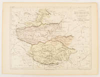
1856réf. 175109Paris.: Gustave Barba Editeur. 1856. Lithographed map with original hand colour central fold 24.2 x 31.5 cm marginal toning plate number in manuscript in very good condition. Finely engraved Dufour map of Central Asia prepared for his "Atlas Populaire" showing East Turkestan Petite Boukharie and Kalmykia Dzoungarie Mongolia and Tibet. . Gustave Barba Editeur. unknown
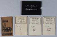
1935réf. 219096Semarang.: Hoofdkantoor. Circa1935. 3 folding colour lithographed maps on linen in a cloth covered slipcase lettered in white on the upper cover. Scale 1:500000. Each map has been numbered 1 to 3 by a prior owner on the reverse of the map with their signature. Sheets measure 55.5 x 83.4cm; 56 x 90cm and 56 x 82.3cm. The first map is a little stained on the reverse but the stains are not visible on the map itself. Very good copies in like slipcase. TOGETHER WITH Afstands Tabellen 1928 a separate 62pp booklet accompanies the folder of maps spine repaired with washi tissue. . Hoofdkantoor. hardcover
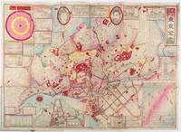
1892réf. 214181東京. Tokyo.: 山嵜暁三郎. Yamazaki Akizaburo. Meiji 25 1892. Colour woodblock map 50 x 71cm folds into card covers with plain cloth spine. 18 x 12cm. Occasional small holes at folds some colour offsetting in places a little marking and staining along upper margin upper left section of upper cover stained with a little subsequent staining to map. A bright and attractive map which looks better than this sounds. This 1892 map of Tokyo shows a growing metropolitan city which attracts many tourists from outside. Portraits of the Emperor and the Empress are featured prominently at the top. There are 11 inset illustrations of major buildings and sites surrounding the main map with a round chart which shows directions and distances to them. Another chart lists place names in wards and counties in Tokyo. The Royal Palace is featured in the center and the palace and major buildings are coloured in red. An inset map of Yokohama sits on the lower left. . 山嵜暁三郎. [Yamazaki Akizaburo]. hardcover
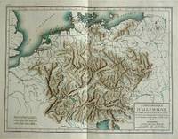
1800réf. 57070c1800. Copper engraving with handcolouring map shows Germany and parts of France Italie Hongrie Pologne and Prusse sic. Minor hole upper border few closed tears and some browning edges otherwise a clean and bright image. Map measures approximately 34 x 46cm. . unknown
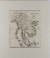
1866réf. 175919Hildburghausen: Bibliographischen Instituts. 1866. Engraved map with outline hand colour central fold 37 x 30 cm 47.4 x 36.2 cm sheet colour key to territorial control and administrative boundaries major cites towns roads rivers and mountains relief shown by hachures light toning in very good condition preserved in modern window mount. Detailed 19th Century regional map of the Malay Peninsula Vietnam Cambodia etc. extending from the Straits of Malaca and Singapore north to Hainan and the Gulf of Tonquin. Text in German prepared for Meyer's Hand Atlas noted in the marginal caption top-left . Bibliographischen Instituts unknown
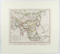
1855réf. 173439Gotha.: Perthes Justus. Circa1855. Engraved map 44.1 x 36.3 cm sheet size 35.8 x 29.7cm map size plate mark map with original hand colouring and hand coloured key noting Islamic "Mohammedanische" Buddhist "Buddhaistische" and European territories by country. Unusual map in an early issue. It was included as map 39 in Stieler's "Hand-Atlas uber alle Theile der Erde und uber das Weltgebaude by Frederic von Stulpnagel" revised by Hermann Berghaus in 1855. The issue is noted to the top right: Ausg. in 63BI. no XIV. Fine outline hand colouring denotes territories by religion and Chinese ports open to European trade and Japanese ports open to American trade. . Perthes, Justus. unknown
1902Outside dimensions 14.5" x 10.5". Circa 1902. Centerfold. Light wear. Please see our photo for details. Book
1902Outside dimensions 14.5" x 10.5". Circa 1902. Centerfold. Light wear. Please see our photo for details. Book
1902Outside dimensions 14.5" x 10.5" Circa 1902. Centerfold. Light wear. Please see our photo for details. Book
1902Outside dimensions 14.5" x 10.5" Circa 1902. Centerfold. Light wear. Please see our photo for details. Book
1902Outside dimensions 14.5" x 10.5". Circa 1902. Centerfold. Light wear. Please see our photo for details. Book
1902Outside dimensions 14.5" x 10.5". Circa 1902. Includes lower Manhattan and Governor's Island. Centerfold. Light wear. Please see our photo for details. Book
1902Outside dimensions 14.5" x 10.5". Circa 1902. Centerfold. Light wear. Please see our photo for details. Book
1902Outside dimensions 14.5" x 10.5". Circa 1902. Centerfold. Light wear. Please see our photo for details. Book
1818réf. 146180Paris, Picquet, 1818-19, 1818. Blattgröße 69cm x 100cm, Kartenansicht 32 x 25cm,
réf. 5775Carte routière couleur dans son étui d'origine, A. Taride Libraire-Editeur, Paris, SD
36,5 x 47 cm. Blattgröße: 50 x 61 cm. *Rückseitig ohne Text. Breitrandiges sehr gut erhaltenes Exemplar, lediglich am Unterrand leicht fingerfleckig. Landkarten de
réf. 4881Extrait du registre des délibérations de la ville de Chalons- sur-Marne séance du 2 avril 1844.In 4 broché couverture imprimée ornée d’une vignette,32 pages,un tableau,1 carte;Châlons Imprimerie T.J Martin 1844.Très bon état Rare 220€ (photo)
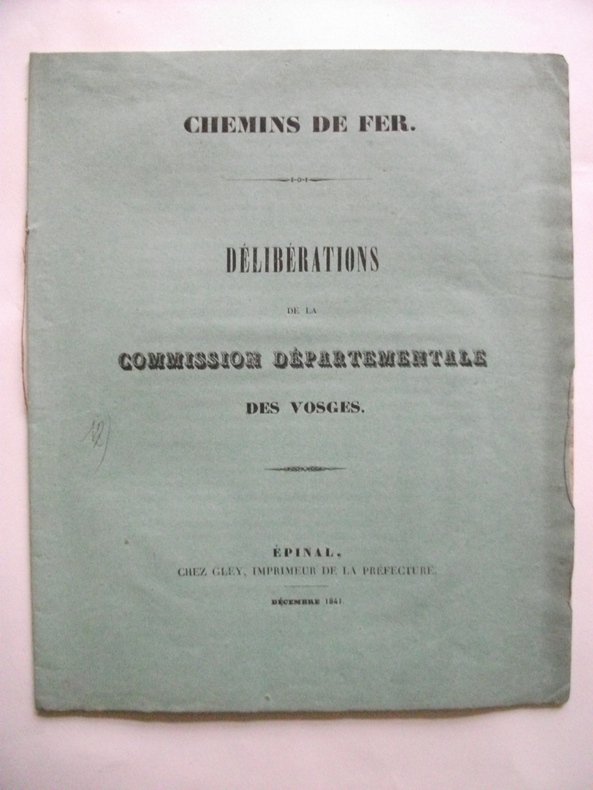
réf. 4883in 8 broché,carré.20 pages.Epinal chez Gley imprimeur de la préfecture Décembre 1841 très bon état Rare
réf. 4623en 5 volumes grand in 8 demi-toile rouge,titre,tomaison et filets dorés.Nombreuses vues de villes dans et hors-texte par CLERGET, nombreuses cartes en couleurs sur double page gravées par ERHARD.Jules ROUFF éditeur sans date. (1883,1884,1885…)Rousseurs éparses habituelles.Avec,sur le tome I,préfaces de la 1ère édition (1855)& de la nouvelle édition (1883),entièrement refondue:cartes entièrement refaites,tableaux statistiques dressés à nouveau à l’aide de documents officiels de 1876,1880,1881 &1883, texte soigneusement revu & augmenté d’un tiers et scrupuleusement mis au courant des derniers changements survenus soit dans la topographie des villes, soit dans l’administration”. 4064p:(8)-152 d’introduction suivies de livraisons de 32 pages,texte sur 2 colonnes ;1 livraison de 32 pages par département,sauf:Seine(192 pages),Seine-et-Oise(128 pages), Bouches-du-Rhône(64 pages),Côte-d’Or (64),Garonne(64 pages ),Gironde (64 pages),Nord (64 pages),Rhône(64 pages ),Seine-Inférieure(64 pages ).115 cartes sur double pagemontées,en couleurs :5 cartes générales de la France : physique;par anciennes provinces & départements; industrielle;réseaux des chemins de fer;militaire;87 cartes pour les 87 départements;11 plans de villes:Marseille, Dijon,Toulouse,Bordeaux,Lille, Lyon,Paris,Versailles,Saint-Germain,Saint-Cloud;8 cartes pour les colonies:Algérie, départements d’Alger,Constantine,Oran,Asie,Afrique, Amériques,Océanie ;4 cartes pour les territoires perdus d’Alsace-Lorraine.1 portrait-frontispice de l’auteur gravé sur bois, & pour chaque livraison de 32p, 1 gravure sur bois pleine page,soit 119, et3 à mi-page,soit 357;pour chaque département,4 pages(ou 5)de tableaux statistiques & 1 de bibliographie.Tome 5,après les 7 derniers départements métropolitains,128 pages consacrées à l’Algérie,128 pages aux colonies,128 pages à l’Alsace-Lorraine & 256 pages pour le “Dictionnaire complet des communes de la France de l’Algérie et des colonies françaises d’Asie,d’Afrique, d’Amérique et d’Océanie”,texte très serré sur 4 colonnes.
1959Carte entoilée au 1:1 000 000 dessinée sur le fond topographique de la carte de l'IGN, Ministère de l'Industrie, BRGM, Etablissements Veit, format 122 x 103 cm Bel exemplaire en parfait état Français
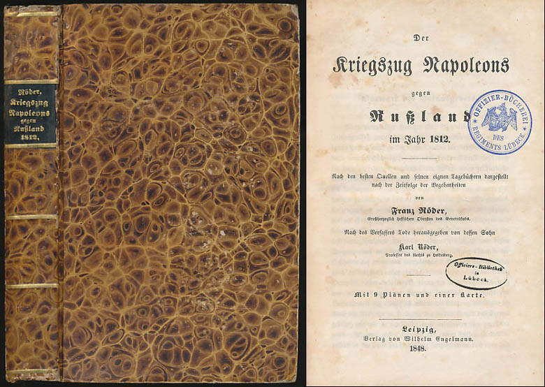
1848réf. 6469DBLeipzig, Verlag von Wilhelm Engelmann, 1848. 8°. 21 cm. XXX, 567 Seiten, X Blatt. Pappband der Zeit, gebunden. Mit goldgeprägtem Rückentitel.
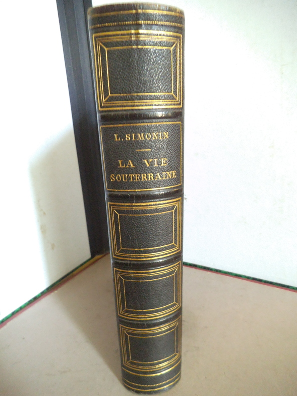
réf. 14505La vie souterraine ou les mines et les mineurs. Ouvrage illustré de 100 gravures sur bois hors texte et dans le texte 30 cartes tirées en couleurs et de 10 planches imprimées en chromolithographie dont le frontispice. In 8 demi chagrin vert titre, filets caissons dorés, plats percaline chagrinée verte, filets à froid en encadrement. 190x270mm, poids 2n2kg. Faux titre, frontispice, titre ; 604 pages ; tranches dorées, rousseurs éparses plus fortes en en début et fin de volume. Paris librairie hachette & Cie 1867. Bon exemplaire.
1764réf. 45755(Kiöbenhavn, 1764). 54x43 cm. Kobberstukket grundplan af København indenfor Voldene, visende bebyggelsen i 1764. Med spor efter foldning, men iøvrigt ren og frisk, trykt på svært skrivepapir
1767réf. 35415Hafniæ, Godiche, 1767. 45,5x55 cm. Kobberstukket kort over Viborg Stift med stor dekorativ kartouche. Nogle små marginalrifter repareret. En rift som går ind i billedfladen rep. på bagside, uden tab. Trykt på kraftigt skrivepapir. Kortet har været foldet.