NANSEN Fridtjof:Livre Rare Book
12.210 Ergebnisse
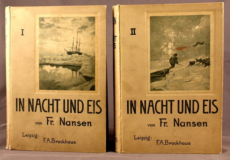
1897Best.-Nr. 2105Leipzig, F.A.B. Brockhaus, 1897. 2 vol. in-8 de X-527 + VIII-507 pages, pleine percaline grise d’éditeur (sans doute blanche autrefois), dos lisses, 1ers plats illustrés. Mors fendus sur quelques centimètres au vol. 1.
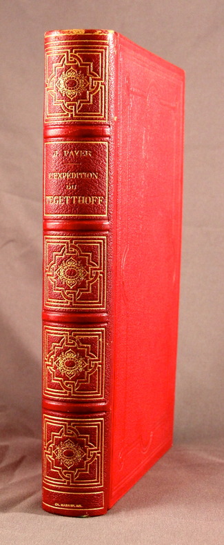
1878Best.-Nr. 2104Paris, Librairie Hachette et Cie, 1878. In-8 de 381 pages, demi-chagrin rouge, dos à nerfs orné, plats de percaline, tranches dorées, gardes moirées blanches.
Best.-Nr. 135174aafParis, Chez Didot, 1747, in-8vo, XII + 532 p. Avec 6 vues et 5 cartes dépl., reliure en veau de l’époque, dos à cinq nerfs, pièce de titre en maroquin rouge, tranches rouges, bel exemplaire.
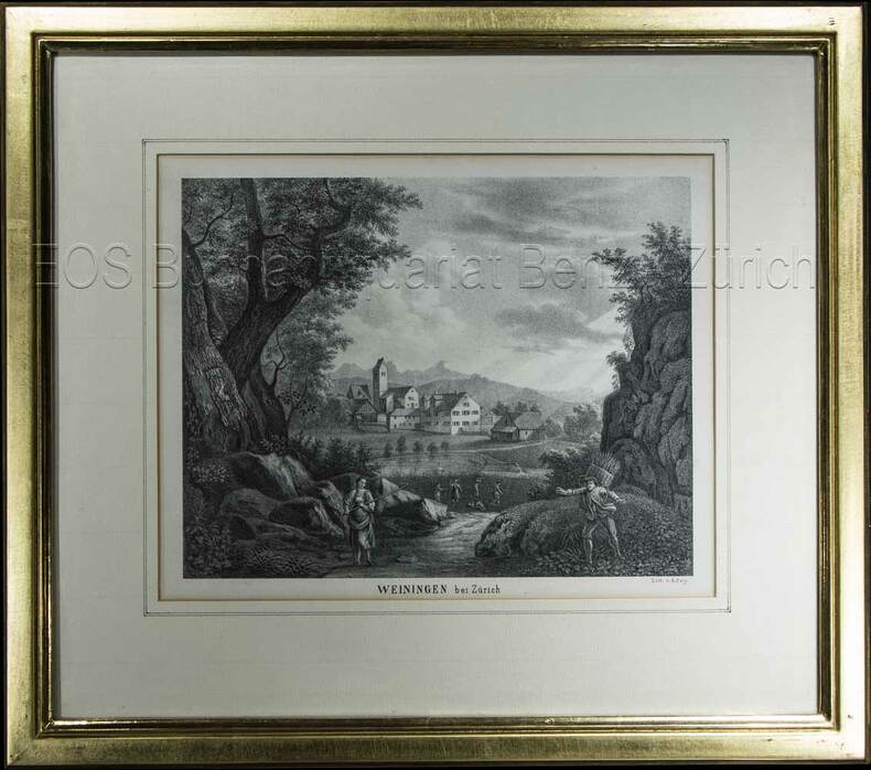
1850Best.-Nr. 603BG(um 1850). Lithographie von R. Rey. Bildausschnitt: 16,3 x 21 cm. Rahmen: 31 x 35 cm.
1879Best.-Nr. 20578Paris, Librairie Hachette et Cie, 1879. 2 volumes in-4 de [12]-496-[2] et [6]-544 pages, demi-chagrin brun, dos à nerfs.
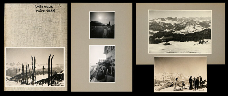
1935Best.-Nr. 745CGMärz, 1935. 22 Fotografien, montiert auf Halbkarton, 15 lose Fotografien und 6 (grössere) Fotografien, mont. auf Halbkarton. Format: ca. 8 x 6 u. 6 x 8 cm bzw. ca. 10 x 14 cm.
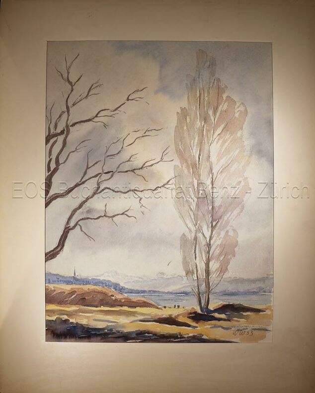
1953Best.-Nr. 634DG1953. Aquarell auf festem Papier. Blattgrösse: 36 x 30 cm.
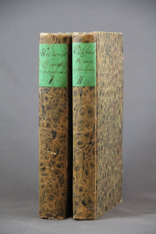
1827Best.-Nr. 1454Basel, In der Schweighauser’schen Buchhandlung, 1827. 2 volumes in-8 de 552 + 444 pages, cartonnages du temps recouverts de papier marbré, dos lisses, petite découpure en haut des 2 pages de garde (probablement afin d’ôter un nom ou un tampon).
196214" wide x 10.5" tall book in excellent condition.with very handsome blue spine and grey cloth covers with large gilt print. Binding is solid and square, covers have sharp corners, exterior shows no blemishes, text/interior is clean and free of marking of any kind with full page very detailed maps on heavy paper, text on opposite page. Dust jacket shows edge wear, small tears, price clipped. From flyleaf: "Utilizing a technique revolutionary in military writing, that of combined map and adjoining text, Col. Esposito and his staff present clearly and concisely, ., the events of the military campaigns and the factors that influenced the course of action and the outcome of the civil War. The battle maps do not merely portray static situations; they are dynamic, with many map sequences clearly showing the movements of the opposing forces from day to day, sometimes from hour to hour. Moreover, each map is accompanied by text on the opposite page; while the theme is developed in the map, this supplementary narrative explains and comments on the situation pictured. The nineteen major campaigns of the war are carefully detailed in this manner. Explanatory symbols in color make clear troop movements, time sequences, numerical strength of units, boundaries, fortifications, and all the other elements necessary for an understanding of the strategies and tactics involved in the campaigns and specific battles." Chronological chart, large bibliography, plus maps of the Colonial wars, Revolutionary War, 1812, Mexicqn war,
Best.-Nr. DADAX0415139341New unknown
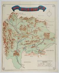
1930Best.-Nr. 206841Kofu.: Onkodo Printing Co. circa1930s. Colour pictorial map 70.2 x 56 cms; 75.5 x 59.5 cms sheet light wear along the inner margin some soft creases from folding short split at center fold; in very good clean condition. An appealing and decorative map of Yamanashi Prefecture which while a process print has the attractive soft look of a lithograph adorned with vignettes of key attractions landmarks such as Mt. Fuji and industry such as silk and wine. The legend lists Railways 'Footing' Roads Hot Springs Hotels and National Parks. A scarce and attractive English language map for the tourist market. . Onkodo Printing Co., unknown
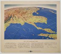
1944Best.-Nr. 200808Remington Rand. 1944. Five printed colour maps each: 31.4 x 47 cms; 46.3 x 53.3 cms sheet central fold marginal edge wear chips and a few small edge tears tidemark affecting the ocean at the outer edge of Map VII but all the maps in very good condition. From a series of World War II battlefront maps "for the delight of arm-chair strategists" published by the Library Bureau of Remington Rand seven were published. Taken from a bird's eye view of the globe and with relief artistically rendered by artist Kenneth Thompson 1907-1996 and descriptive text by George Fielding Eliot 1894-1971. Eliot spent his youth in Australia attending Melbourne University serving with distinction in the Australian Infantry in WWI. Moving to the United States after a short stint in Canada serving with the RCMP her served as a reserve officer in the U.S. Army reserve in military intelligence from 1922 to 1933 and during WWII Eliot famously broadcast the first extended television coverage following the attack on Pearl Harbor. He continued to write books and articles about military strategy and world politics into the 1960s. In keeping with the "aviation-age" cartography of Richard Edes Harrison the unusual perspective of the maps--from above and often with a direction other than north at the top of the map--challenges the viewer to reconsider the geopolitical situation with the text of Eliot as a further prompt his captions below: Map III Italy & South France "Hannibal Caesar and Napoleon made their reputations here" Map IV The Western Front "Will the cockpit of 1918 see the decisive battles of 1944" Map V Southeastern Asia "The road to Mandalay -- and to China --along which bombs for Tokyo must travel" Map VI The Southwest Pacific "Island-hopping toward Japan -- in short and long hops" Map V11 The North Pacific "Here the enemy trusts in the protection of vast ocean distances" . Remington Rand. unknown
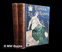
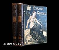
1913Best.-Nr. 486511Barcelona : Alberto Martín 1913. Second Edition. Hardcover. Good copies both in contemporary quarter calf over gilt and colour-illustrated bevelled boards showing minor surface-wear. Corners slightly bumped. Spine leather rubbed particularly at the joints and endbands. Some preliminary leaves in both volumes show minor creases or tears. Text blocks otherwise remain strong and clean with only the expected sparse and faint foxing. A well-preserved set overall. Physical description; 2 volumes : illustrations ; 38 cm. Notes: Vols. 1-2 of 4 i.e. the complete text without maps or plans. Date conjectural. Contents: v. 1. Texto 1a. parte — v. 2. Texto 2a. parte. Subjects; Spain geography 20th century regional. Spain description and travel 1910s. Spanish topography regional geography. Barcelona : Alberto Martín hardcover
1910Best.-Nr. 486513Barcelona : Alberto Martín 1910. First Edition. Hardcover. Good copies both in contemporary quarter calf over gilt and colour-illustrated bevelled boards somewhat scuffed. Corners slightly bumped. Spine leather rubbed particularly at the joints and endbands the latter crumbling slightly. Some preliminary leaves in both volumes show minor creases or tears. Text blocks otherwise remain strong and clean with only the expected sparse and faint foxing. A well-preserved set overall. Physical description; 2 volumes : illustrations ; 38 cm. Notes: Vols. 1-2 of 4 i.e. the complete text without maps or plans. Date conjectural. Contents: v. 1. Texto 1a. parte — v. 2. Texto 2a. parte. Subjects; Spain geography 20th century regional. Spain description and travel 1910s. Spanish topography regional geography. Barcelona : Alberto Martín hardcover
Best.-Nr. GOR006270149Paperback. Acceptable. paperback
Best.-Nr. GOR005344747Paperback. Very Good. paperback
Best.-Nr. GOR004340453Paperback. Good. paperback
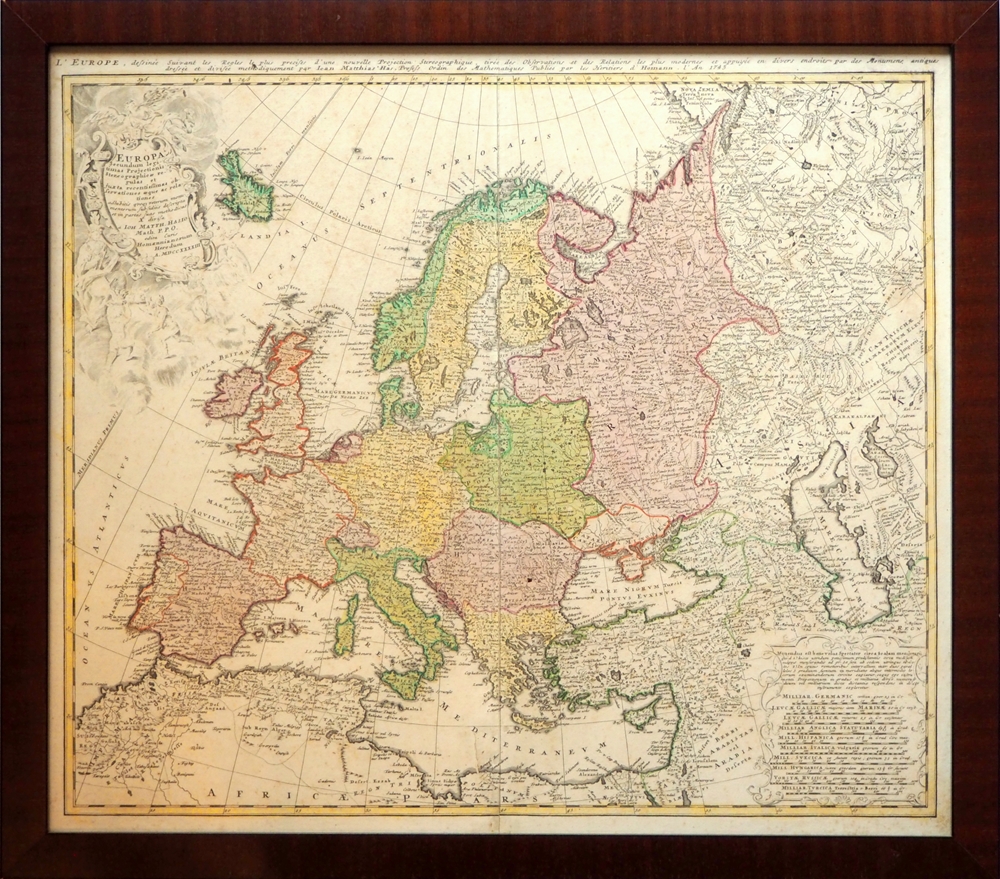
1743Best.-Nr. 94351[Nürnberg], Homannianis Heredibus [Homanns Erben], 1743. Titelkartusche (die allegorischen Figuren in schwachem Druck), eine zweite Kartusche mit Meilenzeiger versch. Länder. Maßstab 1:11,200,000. 49 x 56 cm. Ohne Passepartout im versiegelten Mahagonirahmen. (56,5 x 63,5 cm.).
Best.-Nr. CZC-11870complet de ses 27 cartes et plans, gravés par Ambroise Tardieu Histoire ancienne; monde connu des anciens, Égypte et Libye, partie de l'Afrique ou les Carthaginois ont étendus leurs dominations, carte pour l'expédition d'Annibal et son passage en Italie, carte pour l'intelligence de l'histoire des Assyriens, des Babyloniens et des Perses, Grèce, grande Grèce & Sicile, Plan de Syracuse, carte pour l'expédition de Syrus et la retraite des dix mille Grecs, Grèce et pays septentrionaux jusqu'au Danube, Expédition d'Alexandre, Orient, Asie mineure. Histoire Romaine; environ de Rome, Rome ancienne, Italie, Italie ou l'on a tracé les voies Romaines, vue du combat naval d'Ecnome, expédition d'Annibal, Sicile, plan de Syracuse, Espagne, Grèce, Gaule cisalpine, Numidie, Province Romaine dans la Gaule, Gaule au temps de la conquête de César. vol in8, demi cuir 18x10, bel état de l'ensemble, cartes dépliées, de dimentions variables soit 43x39cm, 40x33cm, etc.. Paris, chez Carez, Thomine & Portic, 1819 ref/155
Best.-Nr. CZC-11870complet de ses 27 cartes et plans, gravés par Ambroise Tardieu Histoire ancienne; monde connu des anciens, Égypte et Libye, partie de l'Afrique ou les Carthaginois ont étendus leurs dominations, carte pour l'expédition d'Annibal et son passage en Italie, carte pour l'intelligence de l'histoire des Assyriens, des Babyloniens et des Perses, Grèce, grande Grèce & Sicile, Plan de Syracuse, carte pour l'expédition de Syrus et la retraite des dix mille Grecs, Grèce et pays septentrionaux jusqu'au Danube, Expédition d'Alexandre, Orient, Asie mineure. Histoire Romaine; environ de Rome, Rome ancienne, Italie, Italie ou l'on a tracé les voies Romaines, vue du combat naval d'Ecnome, expédition d'Annibal, Sicile, plan de Syracuse, Espagne, Grèce, Gaule cisalpine, Numidie, Province Romaine dans la Gaule, Gaule au temps de la conquête de César. vol in8, demi cuir 18x10, bel état de l'ensemble, cartes dépliées, de dimentions variables soit 43x39cm, 40x33cm, etc.. Paris, chez Carez, Thomine & Portic, 1819 ref/155
1830Best.-Nr. 49607(Paris, Crochard, 1830). No wrappers. In: ""Annales de Chimie, ou Recueil de Mémoires concernant la Chemie"" 2e Series, Tome 45, Cahier 3. Pp. 337-448 a. 1 engraved map (entire issue offered). Duperrey's paper: pp. 371-386. Text with scattered brownspots. Map with a small closed tear in lower left corner, otherwise fine.The map: ""Configuration de LÉquateur Magnétique.... faites dans la campagne de la Corvette de S.M. la Coquille, pendent les années 1822, 1823, 1824 et 1825. Par M.L.I. Duperrey Commandant de L'Expedition"" Left: Dressée par L.I. Duperrey, en 1829. Right corner: Gravée par Ambroise Tardieu. (29x80 cm. (the map-sheet))
1696Best.-Nr. 52283(Nürnberg, 1696). (25,5 X 32 cm.). Kobberstukket planer over Køge by of dets fæstningsværker. Den ene del viser byen, den anden del byen omgivet af fæstningsværket som byen så ud 1659-60 under Svenskekrigen. Stikket foreligger her i fin håndkolorering med to barokkartoucher. Under glas i bred ""sølvramme"". Rammen med lidt kantstød.
1766Best.-Nr. 43462(København), A.H. Godiche, 1766. 46,5 x 55,5 cm. Kobberstukket kort over Fyn og omgivende vande med Tåsinge og en del af Langeland. Stor fin rokokkokartouche. Nederste del af venstre margin lidt tæt beskåret, dog uden tab af billede. Ren og frisk, på svært skrivepapir.
1607Best.-Nr. 25258(Amsterdam ca. 1607). 35,3x48 cm. Kobberstukket kort over Holsten. Ukoloreret. Velbevaret. På bagsiden latisnk tekst (pp.89-90) Daniae III Tabula, In qua Slesvicensis Ducatus, & Holsatia.
1813Best.-Nr. 47340(Paris), Au Depot général dee la Marine, 1813. 85x59 cm. Kobberstukket kort i stort format over Kattegat og den nordlige del af Øresund med København i syd, den svenske vestkyst fra Tjørnø i nord til Barsebæk i syd. Jyllands østkyst fra Skagen i nord til Gylling Næs i syd med øerne Anholt, Læsø, Samsø, Endelave m.v. Lidt rifter i højre marginsom ikke når bileldfladen. Fint rent eksemplar.