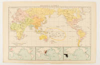
[WORLD MAP OF MAJOR RELIGIONS].Biblio.com
1616 resultados
1895ref. 175135London.: Times Atlas of the World. 1895. Map printed in colour 23.2 x 35.9 cm. two edges gilt with three inset maps key to religions outlined in colour bottom margin chipped edges browned a few silverfish abrasions affecting the verso but in good condition. . (Times Atlas of the World) unknown
ref. 0331318040.Gpaperback. Good. Access codes and supplements are not guaranteed with used items. May be an ex-library book. paperback
ref. 0008492565.Gpaperback. Good. Access codes and supplements are not guaranteed with used items. May be an ex-library book. paperback
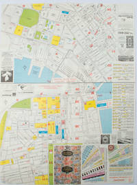
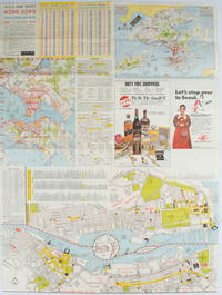
1977ref. 161880Hong Kong.: A-O-A Ltd. June/July1977. Coloured tourist maps of Hong Kong printed both sides on a sheet folded. One general area map of Hong Kong and three detailed street maps featuring Kowloon Peninsula Tsimshatsui and Central District. Generally in very good condition text in traditional Chinese English and Japanese. Sheet measures 58.2 x 43cm. The tourist maps include currency rate tourist advice advertisements for foreign and local brands and shops e.g. A-O-A Gambling Handbook for Macau Duty Free shopping centres Chinese Arts & Crafts centres acupuncture clinic etc. The maps of Central and TST have the names of many hotels businesses post offices etc marked on them. . A-O-A Ltd. unknown
1976ref. 161881Hong Kong.: Walter K. Hoffman. January/February1976. Coloured tourist map brochure of maps of Hong Kong printed both sides six maps in total folded. Brochure also includes advertisements currency rates. Minor tears along folds otherwise in good condition. Text in traditional Chinese English and Japanese. Sheet measures 58.2 x 43.4cm. Sheet includes 6 individual maps: Map of British Crown Colony of Hong Kong Map of the Urban Area with routes for public transportation Map of Tsimshatsui large scale street map Map of Central District large scale street map Map of Wanchai large scale street map Map of Causeway Bay large scale street map Map of Portuguese Overseas Province of Macau. On the maps of Central and TST the names of many businesses hotels etc are marked. . Walter K. Hoffman. unknown
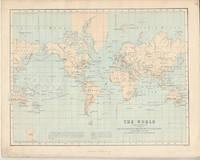
1874ref. 174897London.: Virtue & Co. circa1874. Printed colour map 18.4 x 24.1 cm edge wear marginal spotting and on the verso but the map in very good condition. Unusual map showing time differences east and west of Greenwich before the atomic clock and well before satellites! The explanatory text notes aso that: "The space comprehended between the meridiens of 120 & 160 E. is repeated in order to show the relative position of England to Australia both eastward and westward." . Virtue & Co. unknown
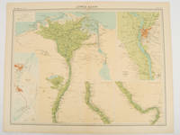
1920ref. 47836London.: The Times. 1920. Map printed in colour 47 x 59.5 cm sheet showing cultivated land in green and desert in cream five insets: Port Said Suez Environs of Cairo and two showing continuations of the Nile; original fold two small edge tears but in very good condition. Attractive large map prepared as plate 79 from "The Times Survey Atlas and Gazeteer of the World". . The Times. unknown
2024ref. DADAX1849076545Philip's 2024-11-07. spiral_bound. New. 10.31x0.79x12.13. Buy with confidence. Excellent Customer Service & Return policy. Philip's unknown
ref. 1849073945.Gpaperback. Good. Access codes and supplements are not guaranteed with used items. May be an ex-library book. paperback
ref. 1527718301.Gpaperback. Good. Access codes and supplements are not guaranteed with used items. May be an ex-library book. paperback
2017ref. 1-1566957370Natl Geographic Maps 2017. Paperback. New. fol map edition. 6 pages. 7.50x4.00x0.50 inches. Natl Geographic Maps paperback
ref. 1597750891.Gmap. Good. Access codes and supplements are not guaranteed with used items. May be an ex-library book. unknown
2024ref. SONGB0DLLLZ7KCBenchmark Maps 2024-12-15. 2024th ed. paperback. Used: Good. 11.00x1.00x16.00. Buy with confidence. Excellent Customer Service & Return policy. Benchmark Maps paperback
ref. SONG1597754889National Geographic 2017-03-06. 2017. map. Used: Good. 37.25x3.00x3.00. Buy with confidence. Excellent Customer Service & Return policy. National Geographic unknown
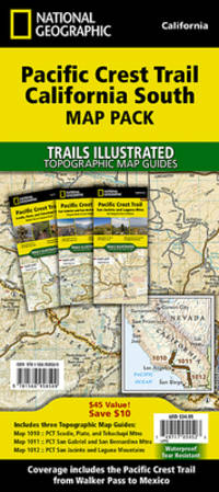
2025ref. DADAX1566958385National Geographic 2025-11-05. 2025. map. New. 4.50x0.30x10.30. Buy with confidence. Excellent Customer Service & Return policy. National Geographic unknown
2023ref. DADAX1566957419National Geographic 2023-01-01. 2023. map. New. 4.75x0.50x9.25. Buy with confidence. Excellent Customer Service & Return policy. National Geographic unknown
2010ref. DADAX1566958504National Geographic 2022-01-01. 2022. map. New. 4.60x0.30x10.30. Buy with confidence. Excellent Customer Service & Return policy. National Geographic unknown
ref. DADAX183758320XNew unknown
ref. DADAX1837583412New unknown
ref. 0007532261.Ghardcover. Good. Access codes and supplements are not guaranteed with used items. May be an ex-library book. hardcover
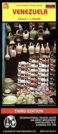
ref. 0921463596.Gmap. Good. Access codes and supplements are not guaranteed with used items. May be an ex-library book. unknown
2020ref. 2-1566958369Natl Geographic Society Maps 2020. Paperback. New. fol map edition. 50 pages. 9.25x4.25x0.30 inches. Natl Geographic Society Maps paperback
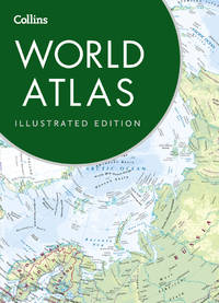
2021ref. DADAX0008374325Collins 2021-08-01. Seventh EditionSeventh edition. paperback. New. 8.90x0.70x12.28. Buy with confidence. Excellent Customer Service & Return policy. Collins paperback
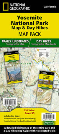
2010ref. ANAIS-1566958350Natl Geographic Society Maps 2022-01-01. 2022. map. Good. 9.5X6.5X1.5. Buy with confidence. Excellent Customer Service & Return policy. Natl Geographic Society Maps unknown
ref. 1333403909.Gpaperback. Good. Access codes and supplements are not guaranteed with used items. May be an ex-library book. paperback