Author Not StatedMareMagnum

1902Outside dimensions 14.5" x 10.5". Circa 1902. Centerfold. Light wear. Please see our photo for details. Book
1902Outside dimensions 14.5" x 10.5". Circa 1902. Centerfold. Light wear. Please see our photo for details. Book
196170 pages. Features: Boeing-Vertol two-page ad for their 107 helicopter; NATO & Strateegic Mobility; The Soviet Threat - a CNO Appraisal; Danger on the Flanks of NATO - Capt B.H. Liddell Hart claims we are weak on the exposed flanks leading to control of the Atlantic and Middle East - major article with maps and photos; The LPH - Teamwork in Action; Battalion Air Mount Out - some ways to shorten load-out time; Combat Helicopters in Algeria - how they were used by a French commander - article with 4 maps; Embarkation via MSTS; Fast Amphibious Force - PHIBRON 10; Photos and details of Soviet helicopters; Money & Marines; You Can Speak in Public; Baseplate McGurk; Transfers and Promotions; Color back cover ad for McDonnell's F4H Phantom II fighter aircraft; and more. Average wear. Center page loose but present. Unmarked. A sound vintage copy. Magazine
1889Outer dimensions: 10.75" x 14.5". Includes many street names. Steam roads indicated. Clean and unmarked with light wear. An attractive vintage copy. Book
1889Outer dimensions: 10.75" x 14.5". Counties individually colored. Clean and unmarked with light wear. An attractive vintage copy. Book
193036 pages. Incudes 17 pages of maps of Provincial locales. Sepia-tone reproductions of photos of picturesque Provincial scenes. Unmarked. Average wear and external soiling. Binding intact. A sound copy of the lovely B.C. tourism memento. Book
196134 pages. Features: 1961-1962 Simplified Hunting Regulations and Game Management Maps; Dr. James Hunter explains changes to Game Regulations and predicts hunter success for the fall; Carcass Care - illustrated guide to processing a deer carcass; Clay Chips - article with photos of shooters Doug. Reynolds, Laurie Parkes, Alex Shymkowich, Dick Hornby, and Jim "Reliable" Mathieson; Many nostalgic ads; Two at the Same Time - article on Tyee fishing, with photo of Eric Sismey with Mrs. Elsie Ahlquist and two large Tyee; One-page ad by the Department of Recreation and Conservation entitled "Ready for the Field?" provides six tips - suitable for framing; Many additional nostalgic ads. Unmarked with moderate wear. A nice vintage copy. Book
1985324 pages. Index. Bibliography. Black and white illustrations. Author's signature upon front free endpaper. "Traces the development of the town of Pointe Claire from its beginnings as a stretch of lonely farms to its present as a major municipality. Covers three hundred years of Canadian history as it affected the people of the West Island community. Old maps, photos and the words of contemporary observers take the reader into a past where the pioneer farmers struggled to defeat Indians, the land, the climate and foreign invaders... This is the only complete history of the town." - from dust jacket. Gift greetings atop title page else book clean, bright and unmarked with negligible wear. Very light wear to dust jacket which has touches of yellowing to flaps, and is now preserved in a glossy new Brodart cover. A premium copy. Book
1957Features: Big news for coach passengers; Nice color Fairbanks-Morse ad inside front cover; Railroad News Photos; Half page article on Southern Pacific's 13-mile solid fill across Great Salt Lake; Overshadowed by the Hoosac - illustrated article on other rail tunnels; The Railroad that Parliament Forgot - the Talyllyn in Wales; Super photo section including a shot inside the Paducah, KY steam locomotive shop; Four Aerotrain Photos; Washout - the monthly treatment of a steam locomotive; What Price Sleep? - the domes and diesels, decor and dining of Burlington's latest are de luxe indeed, but the big news lies in a bed just 24 inches wide; RDC (Rail Diesel Car) Breakthrough - Baltimore & Ohio takes the Budd (car) by the horns and shows what can be done; Missourie Pacific (Mopac) - maps; Steam in Indian Summer 8 - by David P. Morgan; Very nice color ad for the Northern Pacific Railway on back cover; and more. Unmarked. A sound copy., Magazine
1960Text in Spanish. One-sided color map of the Islas Canarias. 69 x 45cm. Clean and unmarked with moderate wear. Includes tourist information. A quality vintage copy. Book
ref. J92Du N° 1 (Mars 1965) au N° 97 (Décembre 1973). Collection complète de 97 revues, en un volume, relié demi-maroquin rouge.
ref. 9372S. l., Croisey (graveur), sd. (1764). Plan gravé de 23,5 x 34,5 cm (cuvette), avec de belles marges et rehauts de couleurs.
ref. 9375S. l., Croisey (graveur), sd. (1764). Plan gravé de 23,5 x 34,5 cm (cuvette), avec marges.
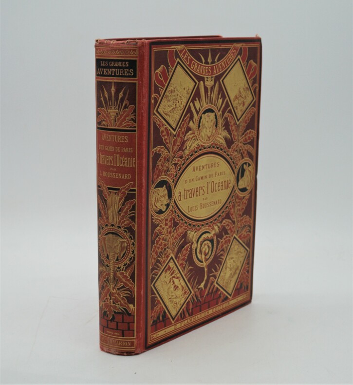
1880ref. PHO-1062Paris, Marpon et Flammarion, sans date (circa 1880). grand in-8, 603 pages. Reliure éditeur pleine percaline rouge au décor richement orné avec plantes et animaux sauvage , dos lisse orné avec auteur , titre, etc. (Engel), tranches dorées , coins légèrement usés ,quelques rousseurs , bel exemplaire.P2-4E
ref. 2511in 12 demi-cuir rouge,dos lisse,titre et filets dorés. photographie de l’auteur en pied par CARJAT avec sa signature d’atelier gaufrée fau-titre,titre 265 pages,1 feuillet d’errata,Dentu éditeur 1863.une tache brun-clair en marge supérieure en début de volume en s’atténuant jusqu’à la page 36 pour être pratiquement invisible jusqu’à la fin.une petite déchirure circulaire avec manque de papier(restauré)à la page de titre sous les initiales ED de l’éditeur rare ouvrage
1719Questa tavola raffigura i due emisferi, che mostrano l'equatore, i tropici e le zone polari del mondo, nelle cuspidi e negli angoli ci sono sei diagrammi più piccoli che mostrano 'Disposition des Parallels' e 'Explication des Zones' ecc. Opera tratta da Le nouveau et curieux Atlas Geographique et historique pubblicato a Parigi nel 1719.All'inizio del XVIII secolo, la cartografia francese ha superato gli olandesi in termini di precisione e design. Il delizioso Nouveau et Curieux Atlas di Chiquet era un prodotto tipico dell'epoca.Acquaforte su rame, finemente colorata a mano, in buone condizioni. This plate shows two hemispheres, showing the equator, tropics and polar zones of the world, in the cusps and corners there are six smaller diagrams showing 'Disposition des Parallels' and 'Explication des Zones' etc. In the early eighteenth century, French cartography overtook the Dutch in terms of accuracy and design. Chiquet's delightful Nouveau et Curieux Atlas was typical product of the time.Work taken from Le nouveau et curieux Atlas Geographique et historique published in Paris in 1719.Copperplate, finely colored by hand, in good condition.
1738Pianta di Roma antica disegnata da Jean-Baptiste Bourguignon D'anville per la Storia romana del Rollin. Histoire romaine depuis la fondation de Rome jusqu'à la bataille d'Actium di Charles Rollin divenne una tra le opere più durature dedicate alla storia romana, impreziosita da alcune carte geografiche inserite nell'Atlas de géographie ancienne pour servir à l'intelligence des oeuvres de Rollin: gravé d'après les cartes originales de d'Anville. Incisione in rame, consuete pieghe di carta, in ottimo stato di conservazione. Pianta di Roma antica disegnata da Jean-Baptiste Bourguignon D'anville per la Storia romana del Rollin. Histoire romaine depuis la fondation de Rome jusqu'à la bataille d'Actium di Charles Rollin divenne una tra le opere più durature dedicate alla storia romana, impreziosita da alcune carte geografiche inserite nell'Atlas de géographie ancienne pour servir à l'intelligence des oeuvres de Rollin: gravé d'après les cartes originales de d'Anville. Incisione in rame, consuete pieghe di carta, in ottimo stato di conservazione.
ref. 6950Puteaux, De Dion-Bouton, sd. Carte entoilée de 81x95 cm, enroulée sur deux tringles de bois noirci.
1876ref. 26330Carte entoilée en couleurs sous chemise cartonnée, au format 94 x 69.5 cm, Auguste Logerot, Paris, 1876.Rappel du titre complet : Carte Routière de la France à l'usage des Voyageurs. Nouvelle Carte Physique et Routière de la France, indiquant toutes les routes de poste, impériales et départementales, avec les distances comptées en kilomètre d'un lieu à un autre, les chemins de fer exécutés et en construction, ainsi que les canaux navigables et les principales rivières.
ref. 2450in 8 broché,faux-titre,titre,219 pages complet des 2 cartes dépliantes,des 20 croquis perspectifs,des 9 photos l’ensemble dans unepochette cartonnée séparée.Charles Lavauzelle & Cie éditeur 1930.légères rousseurs sur la couverture.Très Rare complet
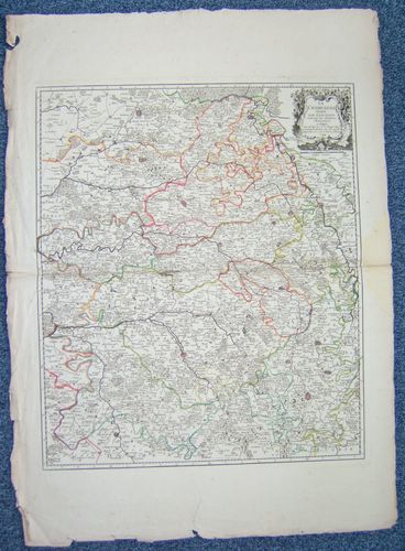
1744ref. 26473Par et Chez le Sr. Le Rouge, Ingr. Géographe du Roy, carte au format 58 x 80, frontières rehaussées en couleur, Paris, rue des grands Augustins vis à vis le Panier Fleury, 1744
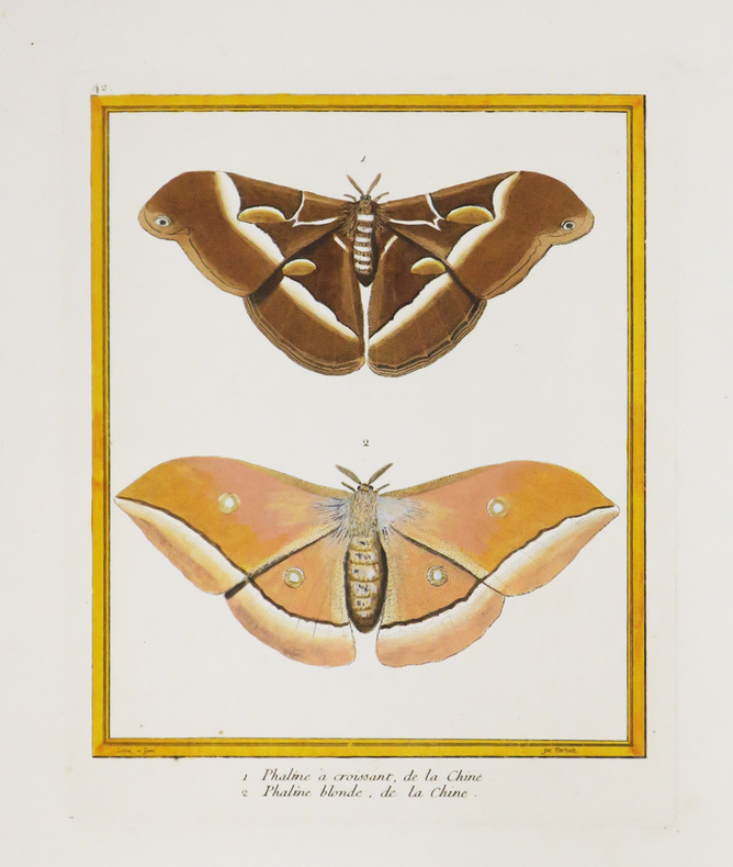
1771ref. LBW-4389[Paris, 1771-1786]. 228 x 183 mm.
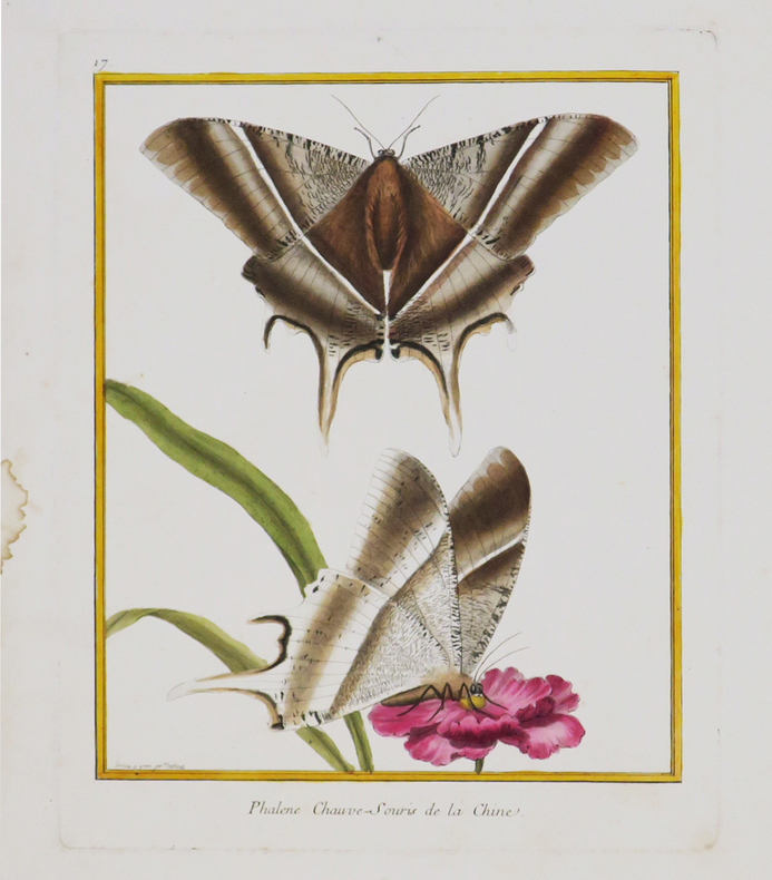
1771ref. LBW-4390[Paris, 1771-1786]. 242 x 189 mm.
1771ref. LBW-4391[Paris, 1771-1786]. 237 x 179 mm.
ref. 5440Paris, s.n., 1839. Carte entoilée aquarellée de 115 cm x 87 cm.