Peigné-Delacourt - Delisle ( Léopold )Livre Rare Book
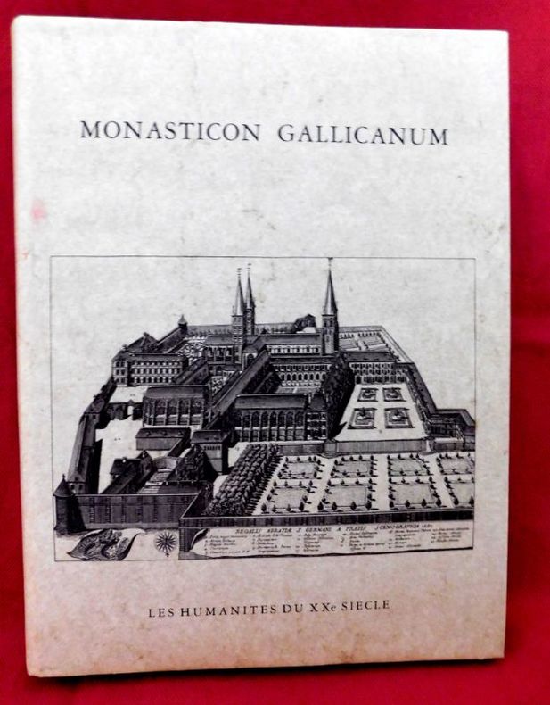
ref. 17053P., Les Humanistes du XXe siècle, 1983., Etat : Bon. Petit in-folio rel., pleine toile grise d'édition (sans jaq.), titre doré au 1er plat, 68 pp, 168 gravures (vues topograhiques) et 2 cartes doubles mobiles de la France. Très bonne condition. Réimpression anastasique de l'édition de Paris, parue chez Victor Palmé en 1871.
Madrid, 1872. 4to., 22 cms; 89 x 65 cms., desplegado. Grabado en color, plegado. Montado sobre tela.. Escala 1:2.000.000. Encuadernación original en tela estampada.
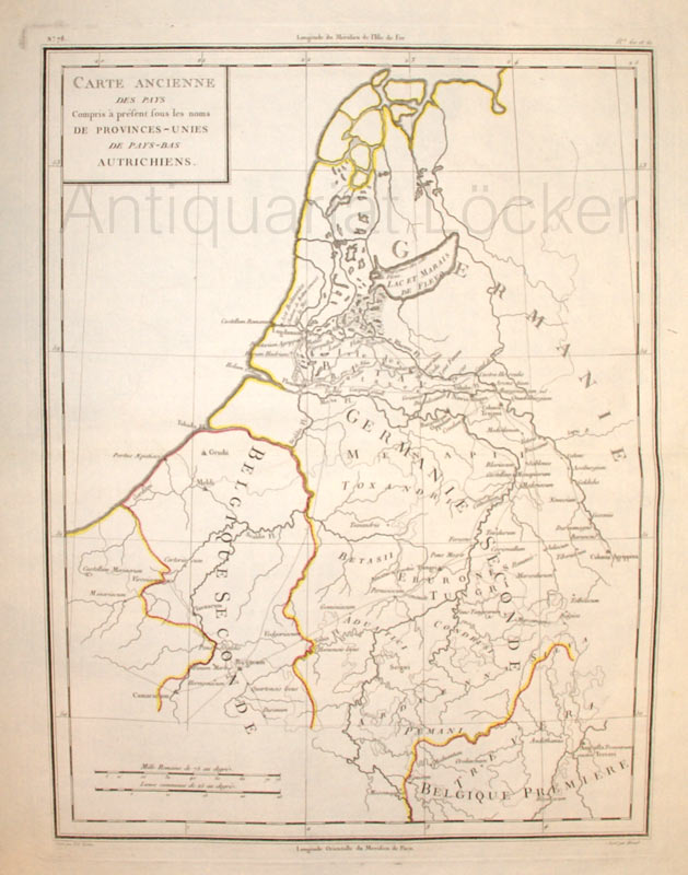
1800ref. KART0162Paris, um 1800. Hochformat, Plattengröße:44x34 cm, Blattgröße: 56,9x43,4 cm; verstärkter Mittelfalz, No. 78 im linken Plattenrand, in der Mitte im ob. Plattenrand: Longitude de Meridien de l'Isle de Fer; sauberes, dekoratives Blatt.
ref. 108923Kashiwashobo Publishing Co., Ltd, 1998, 1 volume de in-folio de 310x230 mm environ, 270 pages, reliure pleine toile de l'éditeur sous jaquette illustrée. Contient des illustrations des cartes et des plans en noir et en couleurs. Petits frottements sur le haut du dos de la jaquette sinon bon état. Bilingue. Texte en japonais avec la traduction anglaise en regard.
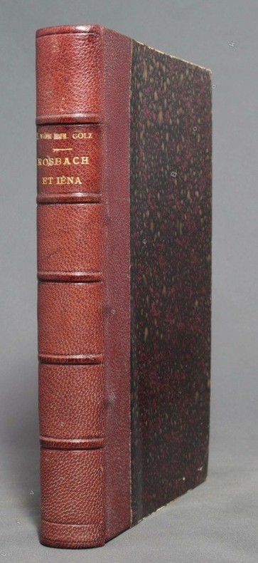
1913ref. 10236Lausanne-Paris, librairie Payot et Cie, 1913. Fort volume in-8 de XI-547 pages, demi-veau brun, dos lisse orné de filets, roulettes, fleurons et titre dorés et de roulettes et filets à froid, tête dorée. Les 2 mors sont fendus en tête sur 4 cm. et frottés pour le reste. Ce défaut mis à part, en belle condition, intérieur frais.
1890ref. 9801Paris, W. Hinrichsen, 1890. In-8 de VI-486-[2] pages, demi-chagrin bordeaux, dos à 5 nerfs avec titre doré. Bords légèrement frottés.
1963ref. 16160Paris, Gallimard, l'Univers des formes, 1963. fort in-4 de [8]-462-[4] pages, pleine toile rouge, jaquette illustrée.
1902ref. 19858Neuchâtel, Imprimerie Paul Attinger, 1902. Petit in-4 de.256 pages, demi-percaline rouge, dos (frotté) lisse, premier plat de couverture illustrée en couleurs conservée.
ref. 86313aafLondon, Thames & Hudson, 1984, gr. in-4°, 298 p., richly illustrated in colors, copy from the archives of the publisher stamped ‘‘Exemplaire d’Archive’, else fine. orig. clothbound, orig. colour jacket, slipcase. fine copy.
1856ref. 14569Paris, Jacques Lecoffre et Cie, 1856. In-8 de [4]-VIII-66 pages, demi-chagrin bordeaux, dos à 4 nerfs orné de fleurons et titre dorés (avec une petite erreur du relieur, Histoise), gardes et plats marbrés, tranches mouchetées.
ref. 0540084166.Ghardcover. Good. Access codes and supplements are not guaranteed with used items. May be an ex-library book. hardcover
1967ref. 203840Washington D.C.: Army Map Service. 1967. Two printed colour adjoining maps 73 x 55.6 cms and 55.6 x 73 cm original folds inked operational annotations to the Quan Long sheet multiple marginal legends noting aerodromes and radio facilities roads railroads and boundaries glossary of terms much of the text is in both English and Vietnamese in very good condition. Detailed U. S. Army maps of the Mekong Delta and Southern Vietnam extending from Rach Gia in the north to the area just south of Quan Long Ca Mau in the south and east including BacLieu and CanTho. The island of Con son is at lower right of the Khanh Hu'ng sheet. Operational notes are inked around Quan Long are marked and the U Minh Forest the impenetrable "forest of darkness" is noted in ink. . . Army Map Service. unknown
2000Book is in excellent condition with very light shelf wear to covers only. Binding is solid and square, covers have sharp corners, exterior shows no other blemishes, text/interior is clean and free of marking of any kind. 231 pages, heavily illustrated with color and b&w photos, drawings, maps, cross sections, architectural drawings. Contents include: Regents canal, Park Village east, Cumberland Basin, London, Girmingham, Railway, Robert B. Dockray, the Roundhouse, North London Railway, Great Wall of Camden, Ice wells, Gilbey's Wine and Spirits, Booth Poverty, survey, maps, Purfleet wharf, Harlow, Pirates club, Jubilee Waterside Centre, Stables Market, Suffolk wharf, Albert street, etc.
ref. SONG052899932XBrand: Thomas Brothers Maps 0000-00-00. paperback. Used: Good. 1.00x8.25x11.75. Buy with confidence. Excellent Customer Service & Return policy. Brand: Thomas Brothers Maps paperback
ref. 1566959888.Gmap. Good. Access codes and supplements are not guaranteed with used items. May be an ex-library book. unknown
1696ref. 27965(Nürnberg, 1696). 25x31,5 cm. Kobberstukket kort over Kolding Fjord med stort opbud af krigsskibe i fjorden.
1696ref. 27969(Nürnberg, 1696). 25x32 cm. Kobberstukket kort over Kristiansstad efter Roskildefreden.
1695ref. 32945(Paris, ca. 1695). 23x29,5 cm. Kobberstukket kort i fugleperspektiv over Göteborg og den nordlige del af sundet med byplan og fortifikationer. Med stor kartouche. Håndkoloreret.
1840ref. 34582(Paris, Bertrand, ca. 1840). 27x33 cm. originalt litografi trykt på kinapapir med brede marginer (Dessinée par A. Mayer). Øverste margin med skjold som ikke berører billedfladen. Parti fra søen med gæs i vandet, i luften og på land.
1840ref. 34575(Paris, Bertrand, ca. 1840). 25x 35 cm (billedflade). Originalt litografi trykt på kinapapir med brede marginer (Dessiné par A. Mayer). Prospekt af Laugarnes med folk og heste i forgrunden samt Jónssons bolig.
1805ref. 52215(København, 1805). Originalt håndkoloreret kobberstik. (21 x 14,5 cm.). Indrammet i ""sølvramme"" (29 x 21 cm.). Frisk eksemplar.
1786ref. 32943(Paris, ca. 1786). 25,3x31 cm. Engraved map of Northern Russia, the european part. In original handcolouring. The map engraved by E. Dussy.
1975ref. 38906Kbhvn., Den danske Landinspektørforening, 1975. Orig. halvlæder. 333 s. Illustr. + Mappe i folioformat med 14 farvereproduktioner.
1800ref. 25396(Paris ?), ca. 1800. 61,5x54 cm. Engraved postal-map, 2 cartouches and with German text. Place-names in French. Lightly browned. Traces of folding.
1841ref. 55741(Gotha, Justus Perthes), 1841. Engraved map (35,5 x 43,5 cm.). Handcoloured in outline. Fine and clean.