ANDRIVEAU-GOUJON (Eugène).Livre Rare Book
12.209 resultados
1889ref. LBW-3622Paris, E. Andriveau-Goujon, 1889. En deux feuilles pouvant être jointes pour former une carte de 655 x 900 mm.
ref. 13975487s. l.: , c. 1871 jeu de 75 cartes didactiques chromolithographiées (14x7 cm). présentées dans son étui d'origina portant la règle du jeu. L'étui est cassé partiellement mais complet.
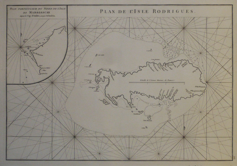
1755ref. LBW-54041755. 231 x 376 mm.
1775ref. LBW-1276[1775-1781]. 331 x 482 mm.
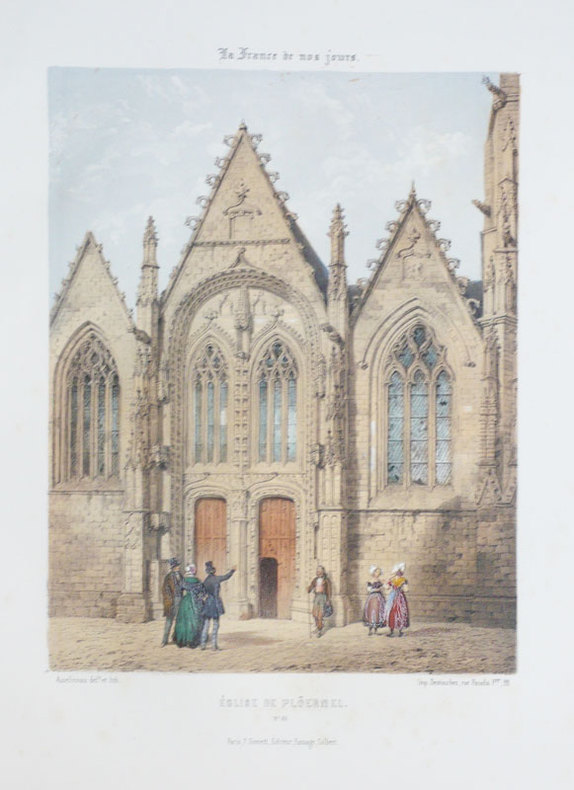
1855ref. LBW-893Paris F. Sinnett circa 1855 302 x 202 mm.
1855ref. LBW-874Paris F. Sinnett circa 1855 237 x 276 mm.
1855ref. LBW-875Paris F. Sinnett circa 1855 235 x 276 mm.
1912120 pages consisting of 89 pages of colour maps of the world, several colour diagramatic graphs, etc., and 25 pages of textual data including distances, historical items, cities and towns. The Canadian Thresherman and Farmer was published in Winnipeg from 1910 to 1919 by E.H. Heath and billed itself as 'Canada's Farm Machinery Magazine'. One can well imagine this atlas was intended to offer a view of the distant world to isolated farmers toiling on the vast expanse of Canadian prairie. Includes a detailed two-page map and profile of the newly completed engineering marvel known as the Panama Canal. Occasional ink writing to contents. Hinges open. Name atop front free endpaper. Somewhat above-average wear to publisher's maroon cloth. A worthy and uncommon surviving copy of this vintage Canadian atlas. Book
37,5 x 49,5 cm. Blattgröße: 46 x 59 cm. *Schön koloriertes Exemplar mit dekorativen Kartuschen (mit 2 Wappen), - Zeigt die Grafschaften Bentheim und Steinfurt. - Sauber und sehr gut erhalten, breitrandiges Exemplar. Landkarten de
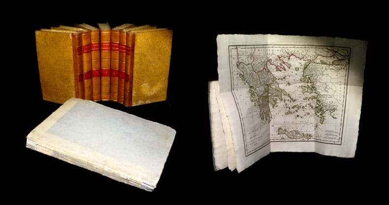
1817ref. 19077A Paris, chez E. A. Lequien / de l'Imprimerie de P. Didot l'Aîné, 1822 - A Paris, chez de Bure, 1839 (pour le volume d'Atlas). 7 vol. de texte au format in-8 (225 x 141 mm) de 1 f. bl., 2 ff. n.fol., 1 frontispice gravé n.fol., 451 pp. et 1 f. bl. ; 1 f. bl., 2 ff. n.fol., 488 pp. et 1 f. bl. ; 1 f. bl., 2 ff. n.fol., 462 pp., 1 f. n.fol. et 1 f. bl. ; 1 f. bl., 2 ff. n.fol., 474 pp., 1 f. n.fol. et 1 f. bl. ; 1 f. bl., 2 ff. n.fol., 466 pp., 1 f. n.fol. et 1 f. bl. ; 1 f. bl., 2 ff. n.fol., 423 pp., 1 f. n.fol. et 1 f. bl. ; 1 f. bl., 2 ff. n.fol., 438 pp., 1 f. n.fol. et 1 f. bl. 1 vol. d'Atlas au format pt in-4 (282 x 223 mm) de xlii pp et 31 planches gravées, sous couverture d'attente de l'époque de plein cartonnage gris-perle.
1575ref. LBW-8961[Paris, Nicolas Chesneau, 1575]. 295 x 354 mm.
1575ref. LBW-8980[Paris, Nicolas Chesneau, 1575]. 290 x 367 mm.
1769ref. LBW002d5[1769]. 210 x 288 mm.
1769ref. LBW002d1[1769]. 222 x 310 mm.
1769ref. LBW002d9[1769]. 222 x 310 mm.
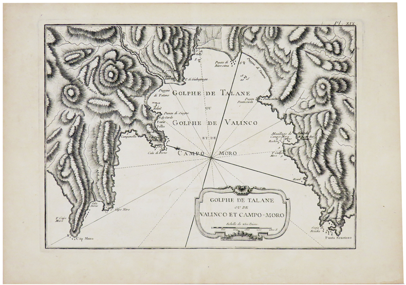
1764ref. LBW-23601764. 212 x 300 mm.
1757ref. LBW-29571757. 188 x 284 mm.
1769ref. LBW002d6[1769]. 207 x 158 mm.
1760ref. LBW-1073circa 1760 219 x 303 mm.
ref. LBW024cacirca 1760 192 x 290 mm.
1764ref. LBW-6951764 212 x 175 mm.
1861ref. LBW-5516Paris, Henri Charpentier, [1861]. 307 x 373 mm.
1840ref. LBW-5673[circa 1840]. 390 x 280 mm.
ref. 81583Prault A Paris, Prault, 1734, 1 volume in-4 de 190x255 mm environ, 1 frontispice gravé par Lépicié d'après F. Boucher, X (Titre, Avertissement, Prophéties), 56, XIV, XI, X, XII, 14, XV, VII, VIII, VI, VIII, XX, CLII. Contient 1 frontispice, 2 cartes dépliantes et deux tableaux dépliants. Pleine reliure d'époque tachetée, dos à cinq nerfs portant titres dorés et ornés, triple encadrement à froid sur les plats, roulette dorée sur les coupes, tranches rouges, gardes de papier marbré à la coquille. Légers fendillements sur les mors, coins frottés et enfoncés, quelques traces sur le cuir, sinon bon exemplaire, intérieur frais.
1638ref. LBW-949Amsterdam 1638-1640 411 x 501 mm.