TASSIN (Christophe).Livre Rare Book
12.168 resultados
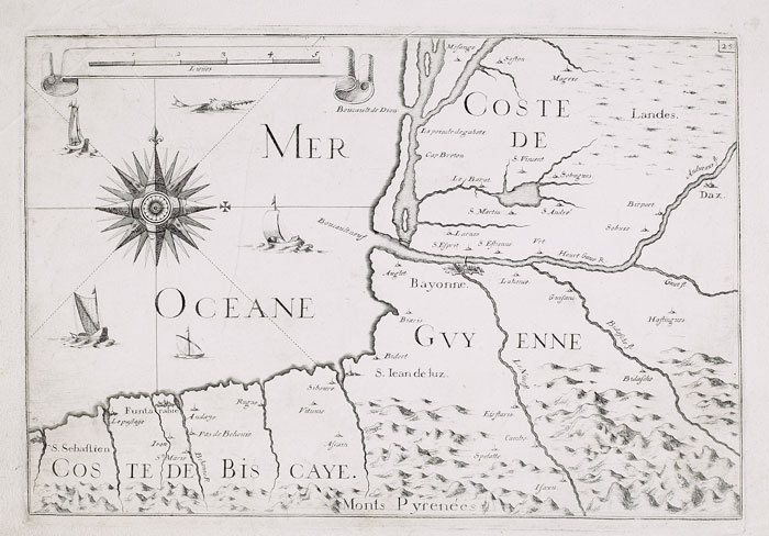
1634ref. LBW-6839[Paris, 1634]. 368 x 520 mm.
1634ref. LBW-651Paris 1634 222 x 330 mm.
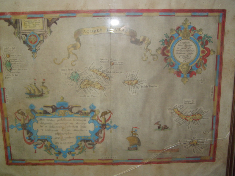
1584ref. 224251584 Orig. copper-engraving. Published by A. Ortelius after to L. Teixeira's map of the Açores. Dated 1584. Coloured. With title in decorative border, 3 ornamental cartouches, 2 ships, sea-monster and "Scala Leucarum". 32,5:46,5 cm (12 3/4 x 18 1/4 inch.) 2,5 x 46,5 cm Van der Krogt, Koeman's Atlantes Neerlandici, Vol. III B, 6350:31; Van den Broecke, Ortelius Atlas Maps, Nr. 24. - Stammt aus einer von fünf lateinischen Ausgaben, die in den Jahren 1595 - 1612 erschienen. Alle tragen das Datum 1584 in der großen Kartusche.A splendid sea chart of the Azores with three scrollwork cartouches; the ocean is decorated with sailing vessels. A fresh example of this scarce sea chart, based on Teixeira's single sheet map of Terceira from 1582, and a later manuscript atlas of the Azores islands. The Azores played a significant role in international sea trade as a victualling stop and shelter for ships sailing into the South Atlantic. In very good condition. The map was first issued in an edition of 100 examples in the Additamentum to the 1583 edition of Ortelius' Theatrum Orbis Terrarum, which is widely referred to as the first modern atlas and a landmark in the history of Western map making. Beginning in 1570, Abraham Ortelius and his successors published (and continuously added to) this monumental work for a period of over 40 years (not including the very rare edition of 1641), with text on the verso in Latin, Italian, German, Dutch, French, Spanish and English.References: Van Den Broecke 24. Meurs p 253-254.
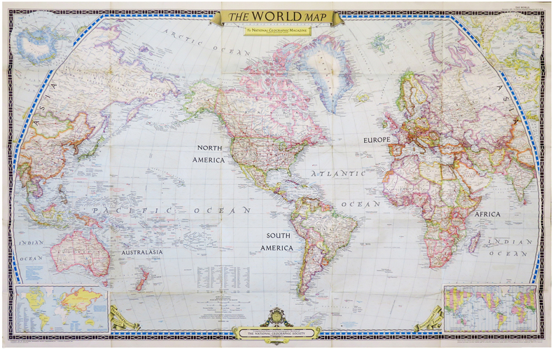
1951ref. LBW-6834Washington, D.C., The National Geographic Magazine, 1951. 0,65 x 1,02 m.
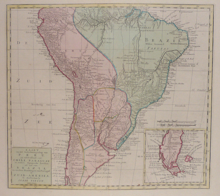
1765ref. LBW02482Amsterdam, 1765. 360 x 398 mm.
1840ref. LBW-3437[1840]. 227 x 298 mm.
ref. LBW03d52Paris, Benard, [circa 1850]. 217 x 302 mm.
ref. LBW03d59Paris Benard circa 1850 220 x 291 mm.
ref. LBW03d50Paris Benard circa 1850 210 x 289 mm.
1850ref. LBW-1282Paris Benard circa 1850 213 x 298 mm.
1885ref. LBW-8826Paris, 1883 [1885]. 1,03 x 0,60 m.
1885ref. LBW-8759Paris, 1883 [1885]. 595 x 836 mm.
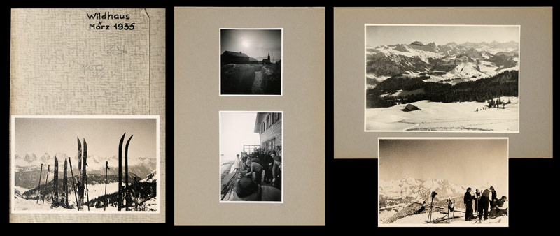
1935ref. 745CGMärz, 1935. 22 Fotografien, montiert auf Halbkarton, 15 lose Fotografien und 6 (grössere) Fotografien, mont. auf Halbkarton. Format: ca. 8 x 6 u. 6 x 8 cm bzw. ca. 10 x 14 cm. + Wichtig: Für unsere Kunden in der EU erfolgt der Versand alle 14 Tage verzollt ab Deutschland / Postbank-Konto in Deutschland vorhanden +, Mappe und Fotos
1608Foglio (cm 30X46) tratto dall'introduzione del Teatrum Orbis Terrarum di Ortelius, edizione italiana curata da Johannes Baptiste Vrients, con tre carte geografiche incise a dimostrazione dei diversi modi di rappresentare in piano la superficie terrestre. Il Vrients, alla morte di Abrham Ortelius (1598) acquisto dalla tipografia Plantijn le lastre del Theatrum, che ristampò ampliandolo con proprie mappe.Al centro della pagina, due diversi modi di rappresentare il planisfero (cm 11x11), secondo il sistema di Tolomeo, e secondo il sistema di Arzachele, nella traduzione di Gemma Friusius. In basso, una Tavola d'Europa (cm 16,5x11), a illustrare la descrizione in piano di una parte specifica del globo terrestre. Lievi ossidazioni, per il resto in ottime condizioni Foglio (cm 30X46) tratto dall'introduzione del Teatrum Orbis Terrarum di Ortelius, edizione italiana curata da Johannes Baptiste Vrients, con tre carte geografiche incise a dimostrazione dei diversi modi di rappresentare in piano la superficie terrestre. Il Vrients, alla morte di Abrham Ortelius (1598) acquisto dalla tipografia Plantijn le lastre del Theatrum, che ristampò ampliandolo con proprie mappe.Al centro della pagina, due diversi modi di rappresentare il planisfero (cm 11x11), secondo il sistema di Tolomeo, e secondo il sistema di Arzachele, nella traduzione di Gemma Friusius. In basso, una Tavola d'Europa (cm 16,5x11), a illustrare la descrizione in piano di una parte specifica del globo terrestre. Lievi ossidazioni, per il resto in ottime condizioni.
ref. 10702Paris, Fatout, 1855, 65 x 88 cm, entoilée. Parties coloriées. Sous étui. Bon état.
1875ref. LBW-2779Paris, A. Logerot, 1875. En 32 sections montées sur toile et pliées, formant une carte de 0,90 x 1,15 m ; sous étui de l'éditeur Edward Stanford à Londres, avec étiquettes du même éditeur au dos de la carte.
1953ref. 634DG1953. Aquarell auf festem Papier. Blattgrösse: 36 x 30 cm. + Wichtig: Für unsere Kunden in der EU erfolgt der Versand alle 14 Tage verzollt ab Deutschland / Postbank-Konto in Deutschland vorhanden +, bild
50 x 59 cm. 50 x 59 cm. *Sauber und sehr gut erhalten. Landkarten de
1935Foilo in maroon stamped and gilted boards; 328 pages : illustrations, maps (some color) ; 37 x 29 cm; indexes Uncommon. // **A large, heavy book. Weighs almost 5 lbs. before packing. Extra shipping charges may apply for international & expedited orders. Please inquire.**
ref. 1849075514-11-1Philip's. Very Good. It's a well-cared-for item that has seen limited use. The item may show minor signs of wear. All the text is legible with all pages included. It may have slight markings and/or highlighting. Philip's unknown
1964ref. 20925Paris, Julliard, 1964. In-8 broché de 374-[6]p., couverture à rabats illustrée.
1927ref. 20524Paris, Gallimard, 1927-1928. 2 volumes brochés in-12 de 249-[7] et 252-[4]pages.
2021ref. DADAX184907562XPhilip's 2021-03-04. paperback. New. 8.58x0.63x11.57. Buy with confidence. Excellent Customer Service & Return policy. Philip's paperback