Livre Rare Book

12.168 resultados
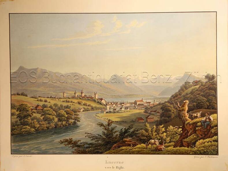
1820ref. 778CGBâle, Berne et Genève, Publié par J. P. Lamy, um 1820. Altkolorierte Aquatinta. Bildgrösse: 11,8 x 16 cm. Blattgrösse: 19,8 x 27, 3 cm.
1823ref. 16001London, J. Hatchard and Son, 1823. In-8 de VIII-372 pages, plein veau à grains long caramel, dos à nerfs orné de filets dorés, pièce de titre noire, tranches mouchetées rouge. Un petite accroc au premier plat et une légère fente au second mors.
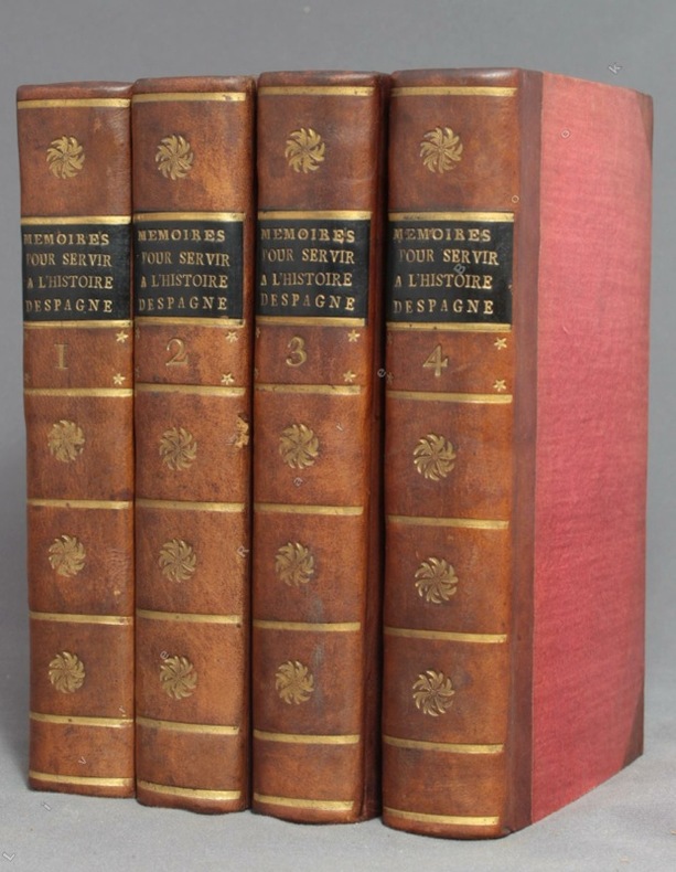
1756ref. 9756A Amsterdam, Chez Zacharie Chatelain, 1756. 4 volumes in-12 de [8]-XXXIV-405; [2]-IV-483; [4]-437 et [4]-495 pages, demi-veau brun à coins, dos lisses ornés de fleurons, filets, étoiles et tomaison dorés, étiquettes de titre noires, tranches jaunes. Tout petit choc au dos du tome 2, rares rousseurs. Le relieur a inversé les faux-titres des volumes 3 et 4.
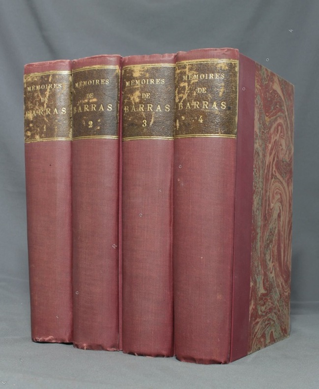
1895ref. 1723Paris, Lib. Hachette, 1895-1896. 4 volumes in-8 de LXXXIII-372 / XVI-543 / XXXVI-526 et XXXII-548 pages, demi-percaline bordeaux, dos lisses, étiquettes de titre brunes, un brin frottées, couvertures conservées.
1878ref. 1856Paris, Lib. militaire de J. Dumaine, 1878-1883. 3 volumes in-8 de 318 + 250 + 246 pages, demi-maroquin noir, dos à nerfs, légèrement épidermés. Quelques rousseurs.
1935ref. 779CGO.O., um 1935. Altkolorierte Aquatinta von Johann Hürlimann (1793-1850). Bildgrösse: 16,7 x 24,7 cm. Blattgrösse: 20,5 x 27,2 cm.
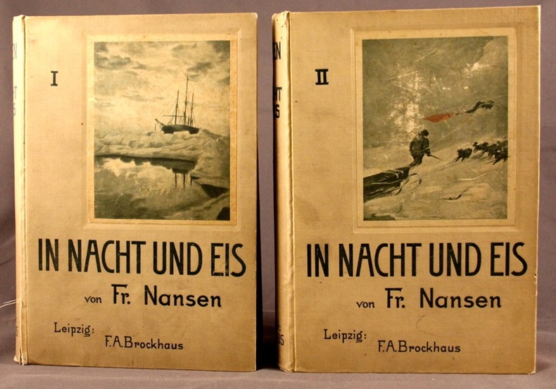
1897ref. 2105Leipzig, F.A.B. Brockhaus, 1897. 2 vol. in-8 de X-527 + VIII-507 pages, pleine percaline grise d’éditeur (sans doute blanche autrefois), dos lisses, 1ers plats illustrés. Mors fendus sur quelques centimètres au vol. 1.
1878ref. 2104Paris, Librairie Hachette et Cie, 1878. In-8 de 381 pages, demi-chagrin rouge, dos à nerfs orné, plats de percaline, tranches dorées, gardes moirées blanches.
ref. 135174aafParis, Chez Didot, 1747, in-8vo, XII + 532 p. Avec 6 vues et 5 cartes dépl., reliure en veau de l’époque, dos à cinq nerfs, pièce de titre en maroquin rouge, tranches rouges, bel exemplaire.
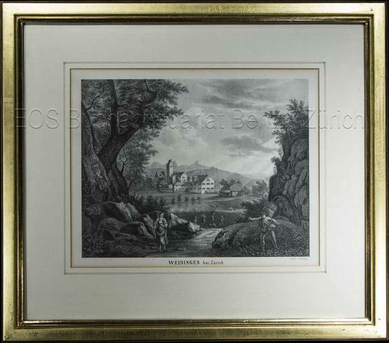
1850ref. 603BG(um 1850). Lithographie von R. Rey. Bildausschnitt: 16,3 x 21 cm. Rahmen: 31 x 35 cm.
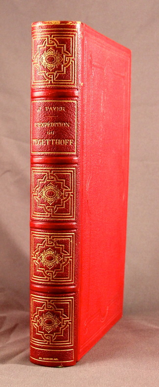
1879ref. 20578Paris, Librairie Hachette et Cie, 1879. 2 volumes in-4 de [12]-496-[2] et [6]-544 pages, demi-chagrin brun, dos à nerfs.
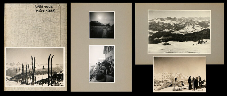
1935ref. 745CGMärz, 1935. 22 Fotografien, montiert auf Halbkarton, 15 lose Fotografien und 6 (grössere) Fotografien, mont. auf Halbkarton. Format: ca. 8 x 6 u. 6 x 8 cm bzw. ca. 10 x 14 cm.
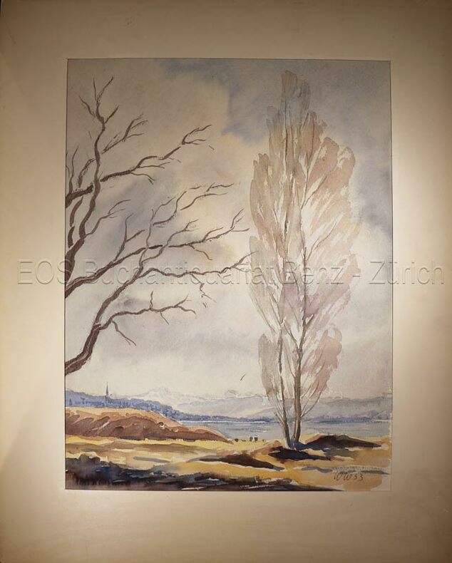
1953ref. 634DG1953. Aquarell auf festem Papier. Blattgrösse: 36 x 30 cm.
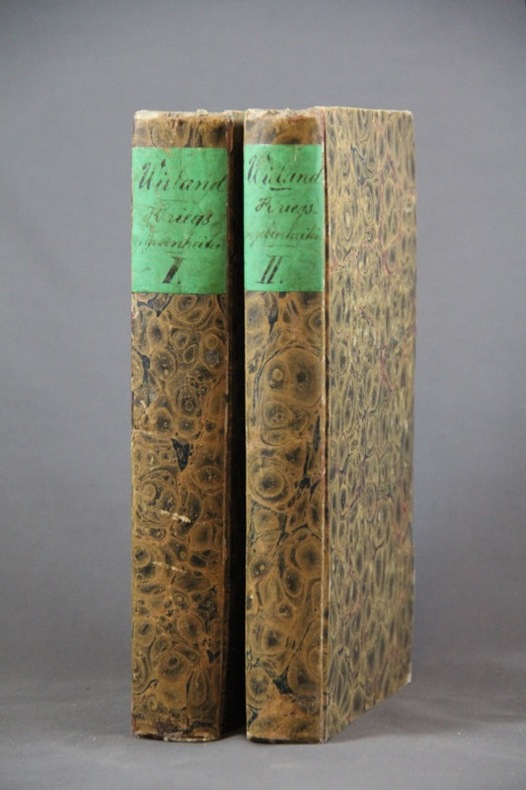
1827ref. 1454Basel, In der Schweighauser’schen Buchhandlung, 1827. 2 volumes in-8 de 552 + 444 pages, cartonnages du temps recouverts de papier marbré, dos lisses, petite découpure en haut des 2 pages de garde (probablement afin d’ôter un nom ou un tampon).
1653Carta storico/geografica tratta dall'atlante di Georgius HORNIUS "Accuratissima orbis antiqui delineatio sive Geographia vetus sacra & profana", per la prima volta edito nel 1653. Le carte derivano da quelle di Ortelius, pubblicata nel "Parergon". Un'insolita e attraente mappa del 1658 dell'Oceano Indiano, o Mare Eritreo, come era nell'antichità. Composta da Jan Jansson ispirandosi alla carta molto simile del 1597 pubblicata da A. Ortelius nel suo Parergon. Copre dall'Egitto e la valle del Nilo verso est passando per l'Arabia e l'India, fino al sud-est asiatico e Java. Cartograficamente, India, Arabia e Africa corrispondono approssimativamente alle convenzioni del periodo. Il sud-est asiatico è meno riconoscibile, ma la penisola malese, Sumatra e Giava sono chiaramente indicate. La maggior parte dei nomi dei luoghi utilizzati sono derivati da Tolomeo, che ha basato la sua descrizione della regione sulle registrazioni delle conquiste di Alessandro Magno. Due mappe più piccole nei quadranti superiore sinistro e destro sono di eccezionale interesse. La carta in alto a sinistra mostra l'Africa nord-occidentale ed è intitolata "Annonis Periplus". Questo è un riferimento alle leggendarie spedizioni del re cartaginese Hanno, che si dice sia stato il primo ad accedere all'Oceano Indiano navigando intorno alla punta meridionale dell'Africa. Per inciso, durante il viaggio, si dice anche che sia stato il primo a domare un leone. La carta in alto a destra mostra le regioni polari settentrionali come erano percepite all'epoca. Una massa che copre la calotta polare è identificata come "Hyperborea". A sinistra di questa, più o meno dove si trova oggi il Nord America, appare l'isola di Atlantide; mentre la Scizia, l'Europa (Thule) e l'Asia sono sulla destra. La Groenlandia e forse l'Islanda appaiono in basso. Questa mappa ha lo scopo di indicare la possibilità di un passaggio a nord-est verso l'Asia, che all'epoca era attivamente ricercato dai navigatori olandesi, inglesi e russi. Johannes Janssonius, figlio dell'editore di Arnhem Jan Janssen, sposò Elisabeth Hondius, figlia di Jodocus Hondius, ad Amsterdam nel 1612. Dopo il suo matrimonio, si stabilì in questa città come libraio ed editore di materiale cartografico. Nel 1618 si stabilì ad Amsterdam accanto alla libreria di Willem Jansz. Blaeu, entrando in una seria competizione. Le sue attività non riguardavano solo la pubblicazione di atlanti e libri, ma anche di mappe singole e un vasto commercio di libri con filiali a Francoforte, Danzica, Stoccolma, Copenaghen, Berlino, Koningsbergen, Ginevra e Lione. Nel 1631 iniziò a pubblicare atlanti insieme a Henricus Hondius. Nei primi anni 1640 Henricus Hondius lasciò l'attività di pubblicazione di atlanti completamente a Janssonius. La concorrenza con Joan Blaeu, figlio e successore di Willem, nella produzione di atlanti spinse Janssonius ad ampliare il suo Atlas Novus finalmente in un'opera di sei volumi, in cui furono inseriti un atlante marino e un atlante del Vecchio Mondo. Dopo la morte di Joannes Janssonius, il negozio e la casa editrice furono continuati dagli eredi sotto la direzione di Johannes van Waesbergen (c. 1616-1681), genero di Joannes Janssonius. Le matrici degli atlanti di Janssonius furono in seguito vendute a Schenk e Valck. Incisione in rame, finemente colorata a mano, in buone condizioni. Map taken from the HORNIUS, Georgius"Accuratissima orbis antiqui delineatio sive Geographia vetus sacra & profana" first published in Amsterdam in 1653. After Ortelius' map published in the "Parergon". An unusual and attractive 1658 map of the Indian Ocean, or Erythraean Sea, as it was in antiquity. Composed by Jan Jansson after a similar 1597 map published by A. Ortelius in his Parergon. Covers from Egypt and the Nile valley eastward past Arabia and India, to Southeast Asia and Java. Cartographically, India, Arabia, and Africa roughly correspond to the conventions of the period. Southeast Asia is less recognizable, but the Malay Peninsula, Sumatra, and Java are clearly noted. Most of the place names used throughout are derived from Ptolemy, who himself based his description of the region heavily on records from Alexander the Great's conquests. Two smaller maps in the upper left and right quadrants are of exceptional interest. The upper left chart shows northwestern Africa and is titled 'Annonis Periplus.' This is a reference to the legendary expeditions of the Carthaginian King Hanno, said to have been the first to access the Indian Ocean by sailing around the southern tip of Africa. Incidentally, en route, he is also said to have been the first to tame a lion. The upper right chart shows the northern polar regions as they were perceived at the time. A landmass covering the polar ice cap is indentified as 'Hyperborea.' To the left of this, roughly where North America rests today, the island of Atlantis appears; while Scythia, Europe (Thule) and Asia are on the right. Greenland and possibly Iceland appear at the bottom. This map is intended to point out the possibility of a Northeast Passage to Asia, which was at the time being actively sought after by Dutch, English, and Russian navigators. Johannes Janssonius (Arnhem, 1588-1664), son of the Arnhem publisher Jan Janssen, married Elisabeth Hondius, daughter of Jodocus Hondius, in Amsterdam in 1612. After his marriage, he settled down in this town as a bookseller and publisher of cartographic material. In 1618 he established himself in Amsterdam next door to Blaeu’s book shop. He entered into serious competition with Willem Jansz. Blaeu.. His activities not only concerned the publication of atlases and books, but also of single maps and an extensive book trade with branches in Frankfurt, Danzig, Stockholm, Copenhagen, Berlin, Koningsbergen, Geneva, and Lyon. In 1631 he began publishing atlases together with Henricus Hondius. In the early 1640s Henricus Hondius left the atlas publishing business completely to Janssonius. Competition with Joan Blaeu, Willem’s son and successor, in atlas production prompted Janssonius to enlarge his Atlas Novus finally into a work of six volumes, into which a sea atlas and an atlas of the Old World were inserted. After the death of Joannes Janssonius, the shop and publishing firm were continued by the heirs under the direction of Johannes van Waesbergen (c. 1616-1681), son-in-law of Joannes Janssonius. The copperplates from Janssonius’s atlases were afterwards sold to Schenk and Valck. Copperplate with fine later hand colour, in good conditions.
1761Raro planisfero pubblicato a Venezia dalla tipografia Remondini ed occasionalmente inserito nel Dizionario geografico portatile, 1761.Interessante mappa del mondo presentata nella proiezione di Mercator e centrata sull'Australia.La Groenlandia è mostrata collegata al Nord America. Il titolo riporta che la mappa fu approvata da Daniel Bernoulli (1700-1782), medico, fisico e matematico olandese, attivo a San Pietroburgo e in Svizzera. Acquaforte, consuete pieghe di carta, leggere ossidazioni, per il resto in ottimo stato di conservazione. Unusual world map by Remondini, taken from Dizionario Geografico portatile. After Isaac Brouckner.Attractive Italian world map presented in Mercator's projection and centered on Australia. Featuring the voyage of Spanberg, among others in the years of 1709-1739. Greenland is shown connected to North America. According to the title the map was approved by Daniel Bernoulli (1700-1782), Dutch physician, physicist and mathematician, active in St. Petersburg and Switzerland.Printed by Remondini, who was a famous publisher of prints and books all with a popular character. He flourished in Bassano in 1661 and was active until 1860.Founded by Giovanni Antonio Remondini (1634 - 1711), the house reached its peak in the second half of the eighteenth century, under the leadership of Joseph Remondini (1745 - 1811).
1844Pianta tratta dall’Atlante geografico degli Stati italiani delineato sopra le migliori e più moderne mappe per servire di corredo alla corografia fisica storica e statistica dell'Italia, di Attilio Zuccagni Orlandini stampato a Firenze, presso gli editori, 1844. In 2° massimo, 2 voll. Il primo volume contenente le carte dell’Italia Superiore in 52 fogli, il secondo volume quelle dell’Italia Inferiore in 77 fogli. Attilio Zuccagni Orlandini (1784-1872) nacque a Fiesole con il nome di Giuseppe Orlandini. In seguito all’adozione da parte del facoltoso zio materno Attilio Zuccagni (1754-1807), botanico e georgofilo, assunse il nome di Attilio Zuccagni Orlandini. La sua più importante opera è la relazione geografico-cartografica di tutti gli Stati preunitari italiani, la grandiosa Corografia fisica, storica e statistica dell’Italia e delle sue Isole (Firenze 1835-1845), in dodici volumi per diciannove tomi, con un volume introduttivo sull’intera penisola italiana. L’opera costituì la summa delle centinaia di opere geografiche generali, regionali e locali allora disponibili e presentava, per ogni Stato preunitario, la trattazione fisica, storica, topografica e un inquadramento statistico. Nel 1844-45, la Corografia fu arricchita con cinque volumi di cartografie, vedute e altre illustrazioni di luoghi e monumenti: Atlante geografico degli Stati italiani delineato sopra le migliori e più moderne mappe (due volumi con 144 tavole inclusa la grande carta della penisola in 15 fogli) e Atlante illustrativo ossia raccolta dei principali monumenti italiani antichi, del medio evo e moderni e di alcune vedute pittoriche (tre volumi con 413 illustrazioni, stampate su 269 fogli). Le tavole furono incise, sempre a Firenze, in due apposite officine, da quattro valenti artisti lombardi (Vittorio Angeli, Giacinto Maina, Pietro Manzoni e Giuseppe Pozzi). Soprattutto il primo dei due atlanti rappresenta, ancora oggi, una pietra miliare nella storia della cartografia e dell’iconografia geografica italiana. Fu veramente ‘un’ardua impresa’, dal momento che spesso mancavano ancora (come, ad esempio, per il Ducato di Lucca e lo Stato Pontificio) prodotti cartografici compiutamente geometrici. I due prodotti furono presentati ai Georgofili nel 1843 e nel 1844, insieme alla mappa della Repubblica di San Marino. L’opera si rivelò oltremodo costosa e non ottenne il successo commerciale sperato, ma servì da base per tante altre iniziative editoriali successive che vi attinsero, talora senza neppure rispettarne i diritti d’autore. Incisione in rame, coloritura coeva dei contorni, lievi ossidazioni, per il resto in ottimo stato di conservazione. Bibliografia Cfr. Anna Guarducci - Dizionario Biografico degli Italiani - Volume 100 (2020). Plan taken from the Atlante geografico degli Stati italiani delineato sopra le migliori e più moderne mappe per servire di corredo alla corografia fisica storica e statistica dell'Italia, di Attilio Zuccagni Orlandini printed in Florence, 1844. The first volume contains the maps of Northern Italy in 52 sheets, the second volume those of Southern Italy in 77 sheets. Attilio Zuccagni Orlandini (1784-1872) was born in Fiesole under the name of Giuseppe Orlandini. Following adoption by his wealthy maternal uncle Attilio Zuccagni (1754-1807), a botanist and georgofile, he took the name Attilio Zuccagni Orlandini. His most important work is the geographic-cartographic report of all the pre-unification Italian states, the great Corografia fisica, storica e statistica dell'Italia e delle sue Isole (Florence 1835-1845), in twelve volumes for nineteen tomes, with an introductory volume on the entire Italian peninsula. The work constituted the sum of hundreds of general, regional and local geographic works then available and presented, for each pre-unification state, the physical, historical, topographical and statistical framework. In 1844-45, the Corografia was enriched with five volumes of maps, views and other illustrations of places and monuments: Atlante geografico degli Stati italiani delineato sopra le migliori e più moderne mappe (two volumes with 144 plates including the large map of the peninsula in 15 sheets) and Atlante illustrativo ossia raccolta dei principali monumenti italiani antichi, del medio evo e moderni e di alcune vedute pittoriche (three volumes with 413 illustrations, printed on 269 sheets). The plates were engraved, again in Florence, in two special workshops, by four talented Lombard artists (Vittorio Angeli, Giacinto Maina, Pietro Manzoni and Giuseppe Pozzi). Especially the first of the two atlases represents, even today, a milestone in the history of cartography and Italian geographic iconography. It was truly 'an arduous undertaking', since cartographic products were often still lacking (as, for example, for the Duchy of Lucca and the Papal States) fully geometric. The two products were presented to the Georgofili in 1843 and 1844, along with the map of the Republic of San Marino. The work proved to be very expensive and did not achieve the commercial success hoped for, but served as a basis for many other subsequent publishing initiatives that drew on it, sometimes without even respecting the copyright. Copperplate with fine outline colour, good condition. Literature Anna Guarducci - Dizionario Biografico degli Italiani - Volume 100 (2020).
196214" wide x 10.5" tall book in excellent condition.with very handsome blue spine and grey cloth covers with large gilt print. Binding is solid and square, covers have sharp corners, exterior shows no blemishes, text/interior is clean and free of marking of any kind with full page very detailed maps on heavy paper, text on opposite page. Dust jacket shows edge wear, small tears, price clipped. From flyleaf: "Utilizing a technique revolutionary in military writing, that of combined map and adjoining text, Col. Esposito and his staff present clearly and concisely, ., the events of the military campaigns and the factors that influenced the course of action and the outcome of the civil War. The battle maps do not merely portray static situations; they are dynamic, with many map sequences clearly showing the movements of the opposing forces from day to day, sometimes from hour to hour. Moreover, each map is accompanied by text on the opposite page; while the theme is developed in the map, this supplementary narrative explains and comments on the situation pictured. The nineteen major campaigns of the war are carefully detailed in this manner. Explanatory symbols in color make clear troop movements, time sequences, numerical strength of units, boundaries, fortifications, and all the other elements necessary for an understanding of the strategies and tactics involved in the campaigns and specific battles." Chronological chart, large bibliography, plus maps of the Colonial wars, Revolutionary War, 1812, Mexicqn war,
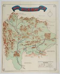
1930ref. 206841Kofu.: Onkodo Printing Co. circa1930s. Colour pictorial map 70.2 x 56 cms; 75.5 x 59.5 cms sheet light wear along the inner margin some soft creases from folding short split at center fold; in very good clean condition. An appealing and decorative map of Yamanashi Prefecture which while a process print has the attractive soft look of a lithograph adorned with vignettes of key attractions landmarks such as Mt. Fuji and industry such as silk and wine. The legend lists Railways 'Footing' Roads Hot Springs Hotels and National Parks. A scarce and attractive English language map for the tourist market. . Onkodo Printing Co., unknown
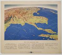
1944ref. 200808Remington Rand. 1944. Five printed colour maps each: 31.4 x 47 cms; 46.3 x 53.3 cms sheet central fold marginal edge wear chips and a few small edge tears tidemark affecting the ocean at the outer edge of Map VII but all the maps in very good condition. From a series of World War II battlefront maps "for the delight of arm-chair strategists" published by the Library Bureau of Remington Rand seven were published. Taken from a bird's eye view of the globe and with relief artistically rendered by artist Kenneth Thompson 1907-1996 and descriptive text by George Fielding Eliot 1894-1971. Eliot spent his youth in Australia attending Melbourne University serving with distinction in the Australian Infantry in WWI. Moving to the United States after a short stint in Canada serving with the RCMP her served as a reserve officer in the U.S. Army reserve in military intelligence from 1922 to 1933 and during WWII Eliot famously broadcast the first extended television coverage following the attack on Pearl Harbor. He continued to write books and articles about military strategy and world politics into the 1960s. In keeping with the "aviation-age" cartography of Richard Edes Harrison the unusual perspective of the maps--from above and often with a direction other than north at the top of the map--challenges the viewer to reconsider the geopolitical situation with the text of Eliot as a further prompt his captions below: Map III Italy & South France "Hannibal Caesar and Napoleon made their reputations here" Map IV The Western Front "Will the cockpit of 1918 see the decisive battles of 1944" Map V Southeastern Asia "The road to Mandalay -- and to China --along which bombs for Tokyo must travel" Map VI The Southwest Pacific "Island-hopping toward Japan -- in short and long hops" Map V11 The North Pacific "Here the enemy trusts in the protection of vast ocean distances" . Remington Rand. unknown
ref. GOR006270149Paperback. Acceptable. paperback
ref. GOR005344747Paperback. Very Good. paperback
ref. GOR004340453Paperback. Good. paperback
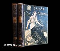
1913ref. 486511Barcelona : Alberto Martín 1913. Second Edition. Hardcover. Good copies both in contemporary quarter calf over gilt and colour-illustrated bevelled boards showing minor surface-wear. Corners slightly bumped. Spine leather rubbed particularly at the joints and endbands. Some preliminary leaves in both volumes show minor creases or tears. Text blocks otherwise remain strong and clean with only the expected sparse and faint foxing. A well-preserved set overall. Physical description; 2 volumes : illustrations ; 38 cm. Notes: Vols. 1-2 of 4 i.e. the complete text without maps or plans. Date conjectural. Contents: v. 1. Texto 1a. parte — v. 2. Texto 2a. parte. Subjects; Spain geography 20th century regional. Spain description and travel 1910s. Spanish topography regional geography. Barcelona : Alberto Martín hardcover
1910ref. 486513Barcelona : Alberto Martín 1910. First Edition. Hardcover. Good copies both in contemporary quarter calf over gilt and colour-illustrated bevelled boards somewhat scuffed. Corners slightly bumped. Spine leather rubbed particularly at the joints and endbands the latter crumbling slightly. Some preliminary leaves in both volumes show minor creases or tears. Text blocks otherwise remain strong and clean with only the expected sparse and faint foxing. A well-preserved set overall. Physical description; 2 volumes : illustrations ; 38 cm. Notes: Vols. 1-2 of 4 i.e. the complete text without maps or plans. Date conjectural. Contents: v. 1. Texto 1a. parte — v. 2. Texto 2a. parte. Subjects; Spain geography 20th century regional. Spain description and travel 1910s. Spanish topography regional geography. Barcelona : Alberto Martín hardcover