SEWALL, JOHN KIRKBiblio.com
12.070 resultados
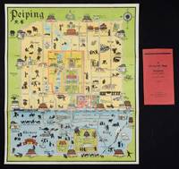
1934ref. 158433Peiping.: Peiyang Press. circa1934. Coloured folding plan of Peking with original envelope. 60 x 50cm. A few neat repairs at folds two panels evenly browned on reverse. A very good copy of a scarce pictorial plan with its envelope. This delightful and scarce pictorial map of Peking with landmarks and streets in romanised Chinese with occasional Chinese characters is surprisingly scarce. Although apparently issued in several editions in the 1920s and 30s it appears relatively infrequently on the market. The divisions of the Legation District are indicated by their flags - this edition shows the German Legation by use of the black white and red bands of the German flag. This flag which was no longer used after 1935 helps date this edition. Other landmarks and attractions shown included theatres foreign shopping area adjacent to the legations quarter Liu Li Chang Curio District the racecourse the many city gates etc. . Peiyang Press. unknown
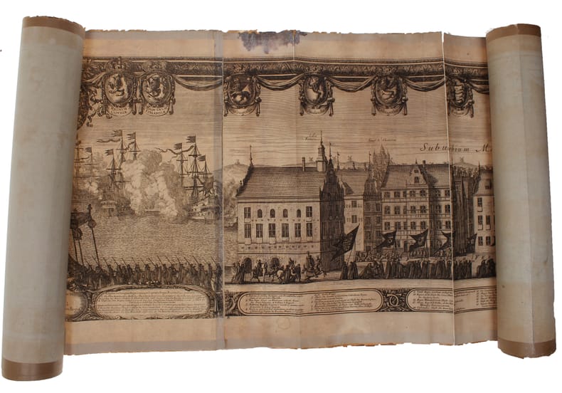
1696(Nürnberg, 1696). The large engraving of the procession through Stockholm being composed of 13 engraved plates joined together, measuring 30x450 cm. (Plates numb. 1-13). Some mostly marginal dampstains, some marginal tears, some brownspots mainly marginal. Upper margin of plate 3 partly gone. Margins strenghtened at verso with brown paper. Some variation to paperquality, but in general in good strong impressions.
1696ref. 32611(Nürnberg, 1696). The large engraving of the procession through Stockholm being composed of 13 engraved plates joined together, measuring 30x450 cm. (Plates numb. 1-13). Some mostly marginal dampstains, some marginal tears, some brownspots mainly marginal. Upper margin of plate 3 partly gone. Margins strenghtened at verso with brown paper. Some variation to paperquality, but in general in good strong impressions.
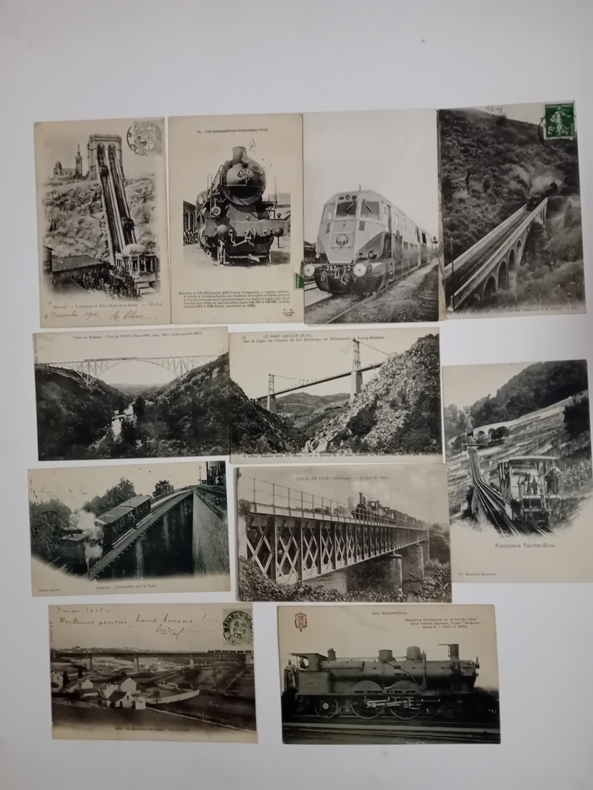
ref. CP12Collection d'environ 700 cartes.
Ca. 195 x 293 mm. Ink on vellum primed with gesso, annotated in Latin. An early map of Africa and Asia south of the Equator, Indonesia largely obscured by a defect to the upper right corner. Tristan da Cunha is identified, as well as the Antarctic Circle. The map also shows the hypothetical southern continent Terra Australis Incognita, merging into New Guinea at the very right edge of the vellum sheet. The "unknown land of the south" was first posited in antiquity and appeared on maps between the 15th and 18th centuries before its existence was finally disproven by the voyages of James Cook, which instead established the existence of Australia more or less in its place. - Ink rather faint in places. Surface slightly rubbed; some wrinkling and creasing; loss to upper right corner (ca. 6 x 3 cm).
Engraved map, printed from two plates and assembled. Ca. 1065 x 390 mm (printed area ca. 1005 x 350 mm). Large and decorative map of the Holy Land, printed from two plate, from Christian van Adrichem's "Theatrum terrae sanctae et biblicarum historiarum". Van Adrichem's map is oriented toward the east and shows the twelve tribes of Israel on both sides of the River Jordan. The coastline runs from Sidon in Lebanon to Alexandria in Egypt, also showing part of the Red Sea. In the Mediterranean, off the coast, several ships and sea monsters are visible. On the Dead Sea are four burning cities: Sodom, Gomorrah, Zeboim, and Adama. - Folds smoothed and reinforced in places. A good, strong impression.
1793ref. LBW-42091793-1795. En deux feuilles jointes de 635 x 955 mm.
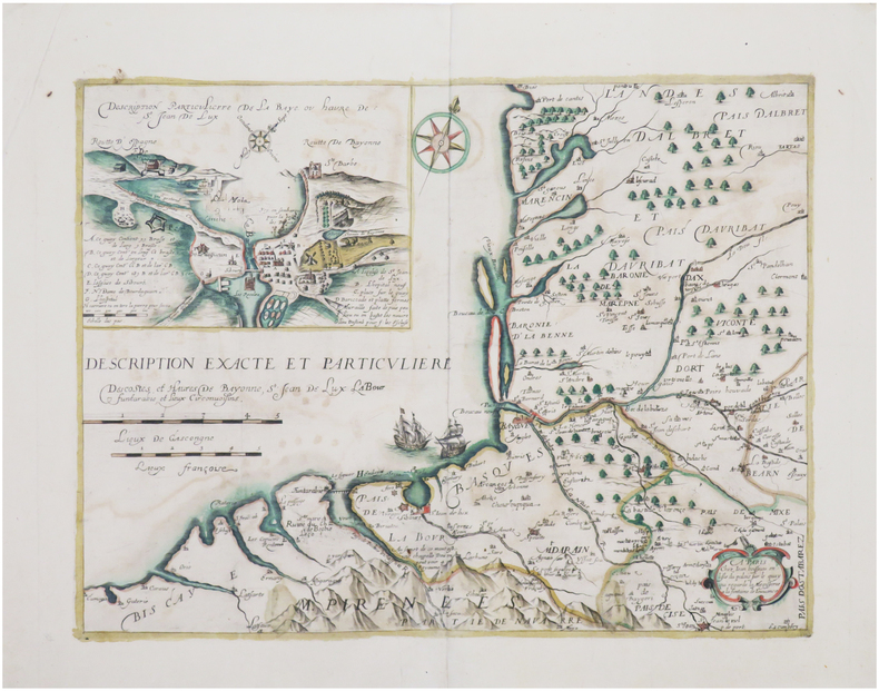
1618ref. LBW-7707[Paris, Nicolas Buon, 1618]. 350 x 462 mm.
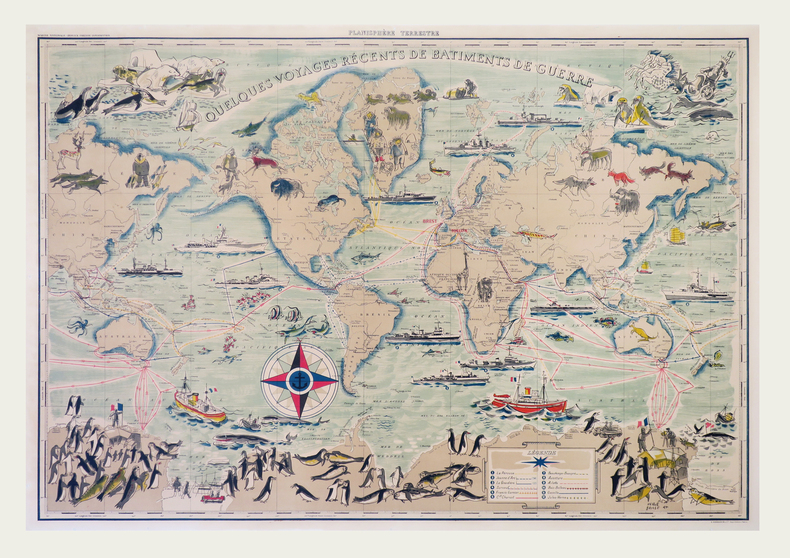
1955ref. LBW-7920Paris, G. Barbarin et Cie, [circa 1955]. 695 x 990 mm, monté sur toile.
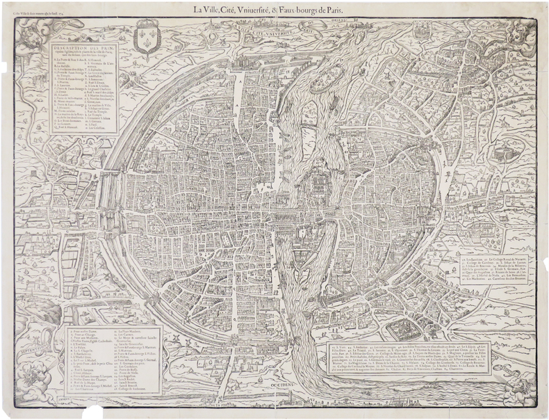
1575ref. LBW-8239[Paris, Nicolas Chesneau, 1575]. 422 x 551 mm.
1642ref. LBW-8043[Paris, 1642]. 335 x 450 mm.
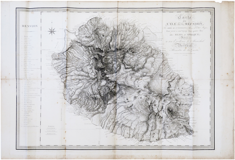
1804ref. LBW-7306[Paris, F. Buisson, an XIII-1804]. 598 x 840 mm.
1700ref. LBW-4180[circa 1700]. 552 x 792 mm.
ref. LBW-7939Paris, Perceval, [entre 1946 et 1947]. Lithographie en couleurs de 900 x 585 mm.
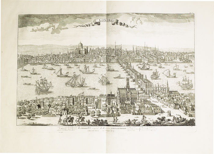
1760ref. LBW-517Paris Chéreau 1760 circa 346 x 515 mm.
1760ref. LBW-6851760 circa 342 x 516 mm.
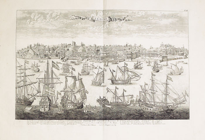
1760ref. LBW-575Paris, Chéreau, [circa 1760]. 336 x 510 mm.
ref. 90355Edition de 1941 (sauf quelques cartes 1889 et 1931), 2 volumes grand in-folio de 490x625 mm environ, contenant des cartes en noir et blanc, la plupart en double-page, numérotées de 1 à 267, certaines bis, ter (9 bis - 160 bis, et 160 ter - 169 bis et 169 ter, 179 bis), dans un cartonnage avec dos et bordures toilés, titres dorés sur le dos, sur pièce de titre rouge, tome 1 : de 1 à 134, tome 2 : de 135 à 267. Manquent les cartes N° 18, 39, 87, 102, 116, 245 et 246 (ont été collées sur la carte adjacente, ou sont absentes car vue représentant la mer), papier un jauni par endroits, frottements sur le cartonnage et la toile, coins et coiffes émoussés, léger manque de papier sur un coin de la carte N° 169 (sans atteinte à la carte).
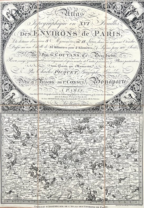
ref. 43496A Paris, chez Picquet et chez Deterville, 1800 - an 8. 1 tableau d'assemblage et 16 feuilles de 125 x 40 cm. chacune (12, 5 x 20,3 cm repliées), entoilées, conservées dans 2 étuis de l'époque en demi-maroquin rouge, dos lisse orné.
1720ref. LBW-41401720. 510 x 778 mm, monté sur toile.
1766ref. LBW-7417Paris, Desnos, 1766. 482 x 710 mm.
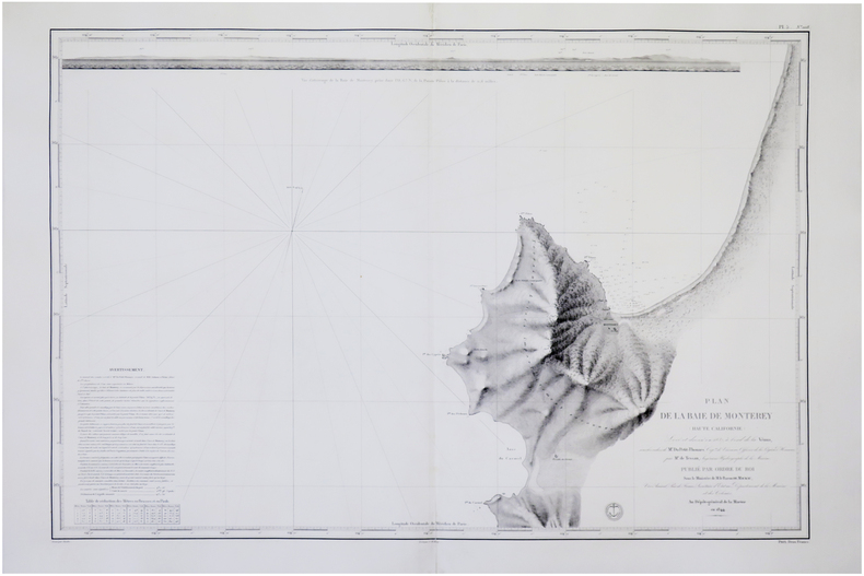
1845ref. LBW-7717[Paris], Dépôt-Général de la Marine, 1844 [1845]. 593 x 868 mm.
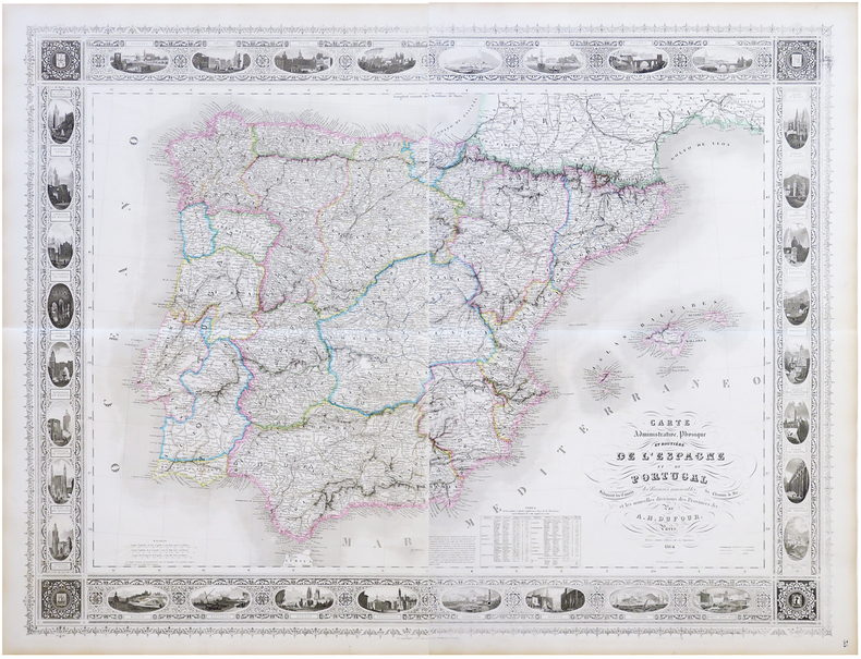
1864ref. LBW-6823Paris, Bulla Frères, 1864. En deux feuilles pouvant être jointes pour former une carte de 0,95 x 1,25 m.
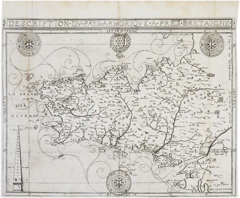
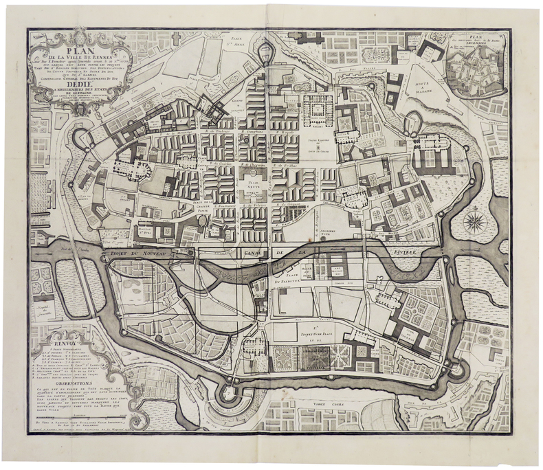
1726ref. LBW00292Rennes, Guillaume Vatar, 1726. 510 x 611 mm.
1830ref. LBW-1172Paris, Basset, [circa 1830]. 380 x 463 mm.