MareMagnum
Best, Gerald M.MareMagnum
Nevada County Narrow Gauge
1998A clean, unmarked book with a tight binding. 8 3/4"w x 11 1/4"h. 216 pages. Many b&w photos.

Bookshop Pistil Books Online · Estados Unidos23,18 €
12.632 resultados
1956220x240, soft cover, worn and yellowing cover and spine with small tears, slightly yellowing pages, colored maps, else in good condition.
1992Corners bumped. Foxing to prelims. Dustjacket is protected in mylar. ; 4to 11" - 13" tall; 797 pages
1998A clean, unmarked book with a tight binding. 8 3/4"w x 11 1/4"h. 216 pages. Many b&w photos.
1988A clean, unmarked book with a tight binding. Large format: 10 1/2"w x 13 7/8"h. 128 pages. Many color illustrations.
Locally produced guidebook to Crete with large fold out maps and plans Translated into English by Katerina Rooke. 68p.+12 pages of plates and a large fold out map.Slight scuffing to paper wraps. Book
1988304 p. Numerous photographic illustrations by Jonathan Wallen. 4to. Original full cloth binding. Dust jacket. First Edition. Published at $60.00. Fascinating tour through the collections of one of the greatest American libraries. The New York Public Library houses more than 8 million volumes, 23 million manuscripts and half a million recordings. Includes: Washington's Farewell Address; the first Gutenberg B ible ever brought to this hemisphere; rare globes and maps; musical scores; and much more. A lavish history. **PRICE JUST REDUCED! REF1
185548 p. Title page printed in red and black with Maryland Historical Society's device. 230mm. Original printed wraps. Lacks rear wrap. Front wrap soiled. Early inked ownership of W. Frederick Frick on front wrap. Scarce original edition. **PRICE JUST REDUCED! SCIENCE BX 3
20004to [27 x 21 cm]; 225, [i] pp, hundreds of colored & uncolored illustrations & maps, including many full-page, bibliography, index. original pictorial heavy paper wraps, title on cover and spine, few minor notes, near fine, clean. A picture of this book is available upon request by email. A beautifully illustrated Sotheby's sale of books, maps and paintings on Africa, Australasia, Near & Middle East, Americas, Asia, Europe, wall maps, atlases, etc describing 447 lots in detail, very well-illustrated, sale held in London 2 December 1999. A very useful reference. Sale L09215.
20004to [27 x 21 cm]; 272 pp, hundreds of colored & uncolored illustrations & maps, including many full-page, bibliography, index. original pictorial heavy paper wraps, title on cover and spine, few minor notes, near fine, clean. A picture of this book is available upon request by email. A beautifully illustrated Sotheby's sale of books, maps and paintings on Africa, Australasia, Tahiti, South Seas, North & Central America, Caribbean, Europe, etc describing 454 lots in detail, very well-illustrated, sale held in London 14 December 2000. A very useful reference. Sale L00720.
20014to [27 x 21 cm]; 219, [iii] pp, hundreds of colored illustrations & maps, including many full-page, some black & white illustrations, bibliography, index. original pictorial heavy paper wraps, title on cover and spine, fine, clean, with the prices realized on loose sheets. A picture of this book is available upon request by email. A beautifully illustrated Sotheby's sale of books, maps and paintings on the middle east, describing 603 lots in detail, very well-illustrated, sale held in London 17 October 2001. A very useful reference. Includes large sections on Greece, Turkey, North Africa, etc. Sale L01956.
1990A clean, unmarked book with a tight binding. 126 pages. Slight edge wear and marks to dust jacket. "Revealed here are design strategies for enhancing the dimensionality and density of portrayals of information -- techniques exemplified in maps, the manuscripts of Galileo, timetables, notation describing dance movements, aerial photographs, the Vietnam Veterans Memorial, electrocardiograms, drawings of Caler and Klee, computer visualizations, and a textbook of Euclid's geometry." Later printing.
ref. SLIVCN-9791035846121BELIN EDUCATION
ref. 29257P. Levasseur, Sans date (vers 1850). In folio oblong (52/36cm).
ref. 29157P. Levasseur, Sans date (vers 1850). In folio oblong (52/36cm).
ref. 29357P. Levasseur, Sans date (vers 1850). In folio (52/36cm).
ref. CZC-13799format 35x17cm, bel état, vers 1820
ref. CZC-13799format 35x17cm, bel état, vers 1820
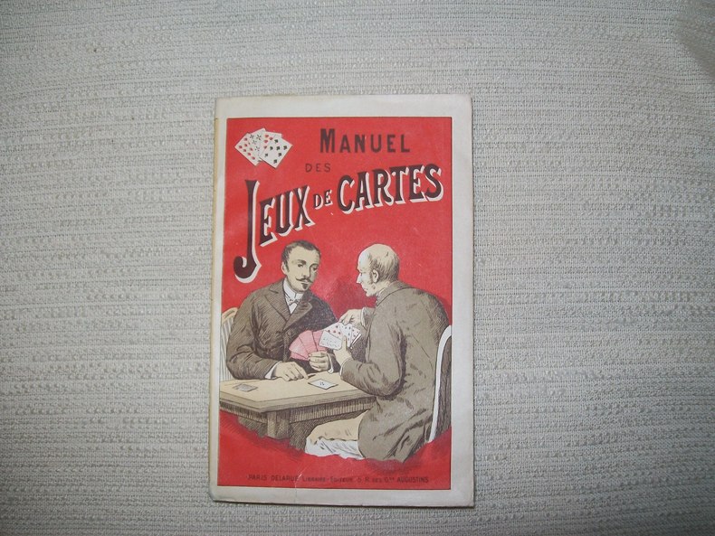
1900ref. GITb923Paris Delarue sd v 1900. In-16 broché couverture illustrée 176pp. Bel exemplaire.
ref. 126260 Köln, H. Siebenhar, s.d., In huit, (12,5 X 25,3 cm), dépliable, cartonnage couleur bronze, illustration sur le premier plat,
ref. 43547P., France Loisirs, 1991, in 12 broché à litalienne.
1976ref. 796001976 Paris, Hier et Demain, 1976, grand in 4° relié pleine toile de l'éditeur, jaquette illustrée, 135 pages ; importante iconographie, principalement en couleurs.
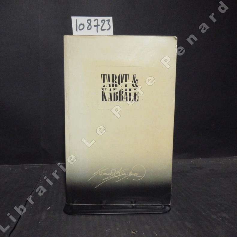
1988ref. 1087231988 Editions Thoth - 1988 - In-8, broché - 406 p. - Quelques illustrations in-texte en N&B
1950ref. 2221950 couv in-8, carte en coul (limite de département, d'arrondissement, de canton), échelle 1/167000, bé, ~ 1920 éd géographique andré lesot,
1950ref. 2231950 couv in-8, carte en coul (limite de département, d'arrondissement, de canton), échelle 1/247000, bé, 1920 éd géographique andré lesot,
ref. 14851Paris C. Marpon, E. Flammarion In-12 Fort III+335+12 pp, (.) Plus de 200 jeux, 150 dessins. Rousseurs et mouillures éparses, titre doré et décors sur dos percaliné, mouillures et rousseurs sur l'ensemble du cartonnage. Catalogue éditeur in-fine.