12.514 resultados
2002Book is in excellent condition. Binding is solid and square, covers have sharp corners, exterior shows no blemishes, text/interior is clean and free of marking of any kind. 203 pages with color illustrations throughout.
1978Book is in excellent condition, appears unread. Binding is solid and square, covers have sharp corners, exterior shows no blemishes, text/interior is clean and free of marking of any kind. Dust jacket shows the slightest signs of shelf wear only, no tears. 35 illustrations, 4 maps, contents include: Salamis: a hero's glory, Fortification of Athens and Piraeus, Themistocles flight, The Persian king, Xerxes, didrachms, Battle of Salamis, etc.
ref. CYE47RT
1930Folding coloured map on cloth measuring 22 x 30 ins (approx. 56.0 x 76.0 cms) folding in 21 panels to 7.5 x 4.5 ins (approx. 19.0 x 11.5 cms); original pictorial card wrappers, neat contemporary signature on upper wrapper, wrappers lightly age-soiled else a very good, bright, clean copy. The famous Popular Edition One Inch series was first published in 1919 with striking 'hiker' artwork by Ellis Martin. The present copy is the 1930 revision (roads revised to June 1926); the covers are the dark red and black variant with location map. Browne, 11.2.a
195629x20 cm. 431 pages. Gilt hardcover. Contains black & white plates and folded maps. Cover is slightly worn. Spine of book is worn. Spine is visible between a few pages. Slight discoloring of the upper, external part of pages. Else in good condition. PLEASE NOTE: This item is overweight. We may ask for extra shipping costs.
ref. SLIVCN-3760174130053BETULA
ref. SLIVCN-3760174130015BETULA
ref. SLIVCN-3760174130084BETULA
ref. SLIVCN-3760174130114BETULA
1889pp. xxxiv, 386 + Plus 36 folding maps and 22 plans. All edges marbled. 16mo. Original full flexible rose cloth binding, gold lettered. TRAVEL/3
1986Book is in excellent condition, appears unread. Binding is solid and square, covers have sharp corners, exterior shows no blemishes, text/interior is clean and free of marking of any kind. Dust jacket shows the slightest signs of shelf wear, some edge wear, two tears < 1". 309 pages, heavily illustrated with charts, diagrams, maps, tables, b&w photos. Contents include: loads at anchor, Deck gear for anchors, Anchor winlass Anchor rodes, Anchor options, Anchor and rode selection, Human factors in anchoring, Techinque of anchoring, Anchoring tricks, ( ways to stop anchor dragging, Setting tandem anchors, Rowing out and anchor, Kedging, the buoyed-anchor rode, Stern anchoring, Side bridle, Use of a drougue in a current, etc. ) Rights and responsibilities, Storm anchoring, Permanent moorings, etc. Copyright 2011 Pistil Books
1911168p. + Large color folding map and numerous advertisements, many illustrated. Numerous full page photographs of buildings. Slight soiling on first leaf. Small 8vo. Original green decorated printed wraps, spine and rear cover have old tape repairs. Covers worn. PA PAMPH 20_13 BX5
1987ref. 99389[Braunschweig, Archiv-Verlag, 1987). 1 mehrfach gefalt. farb Plan (Blattgröße 41 x 53,5 cm, Bildgröße 37,5 cx 47,5 cm).
ref. 9782845235882(Ref.: Ref98933)
Format (Bildbereich): 24 x 20,5 cm. Sauber und gut erhalten. Landkarten de
Format (Blattgröße): 16 x 22 cm. Leicht gebräunt, insgesamt gut erhalten. Landkarten de
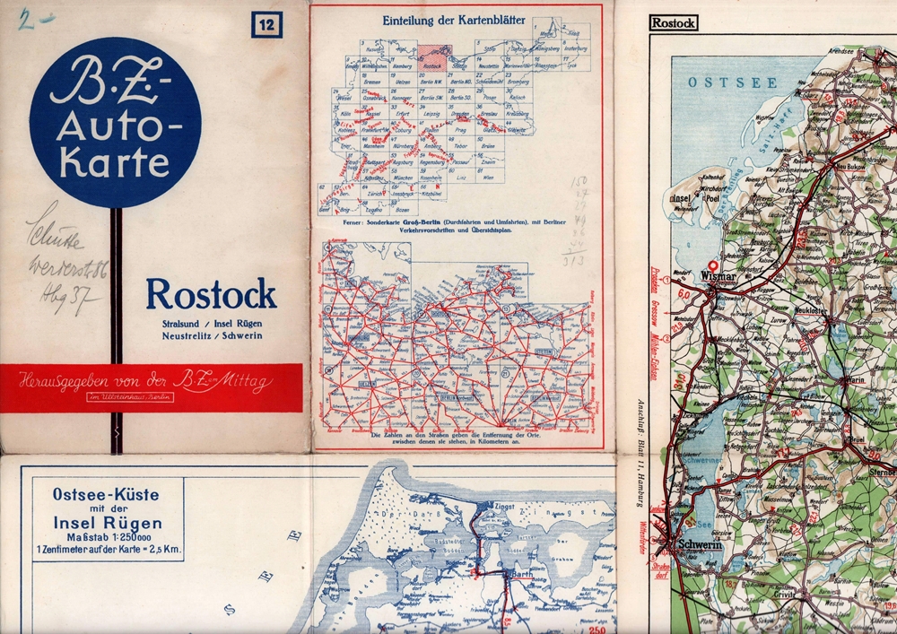
1939ref. 88285Berlin, Berliner Zeitung am Mittag, 1939]. Mehrfach gefaltete, farbige Karte, auf Leinen kaschiert. Maßstab 1: 250.000. Kartenmaß: 38,8 x 55 cm, Blattmaß: 43 x 57,8, Falzmaß 21,8 x 14,7 cm.
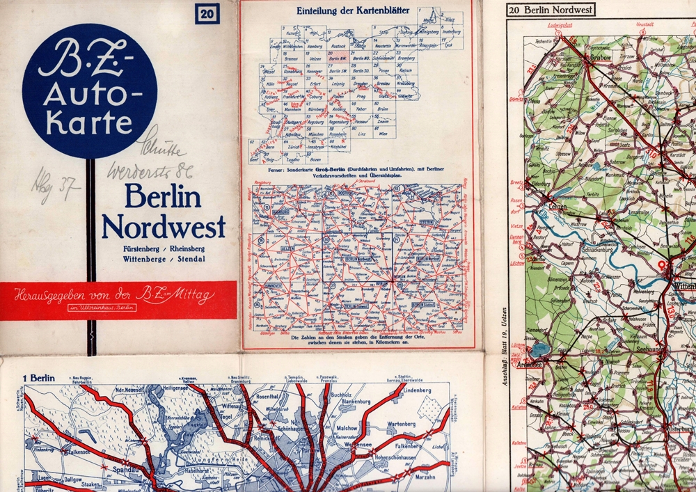
1939ref. 88286Berlin, Berliner Zeitung am Mittag, [ca. 1939]. Mehrfach gefaltete, farbige Karte, auf Feinkarton. Maßstab 1:250.000. Kartenmaß: 64,5 x 86,5 cm. Falzmaß 21,8 x 14,7 cm.
Format (Bildbereich): 19 x 26,5 cm. Leicht gebräunt, insgesamt gut erhalten. Landkarten de
Blattgröße ca. 30 x 25 cm. Leicht gebräunt, insgesamt gut erhalten. Landkarten de
Format (Bildbereich): 21 x 26 cm. Leicht gebräunt, insgesamt gut erhalten. Landkarten de
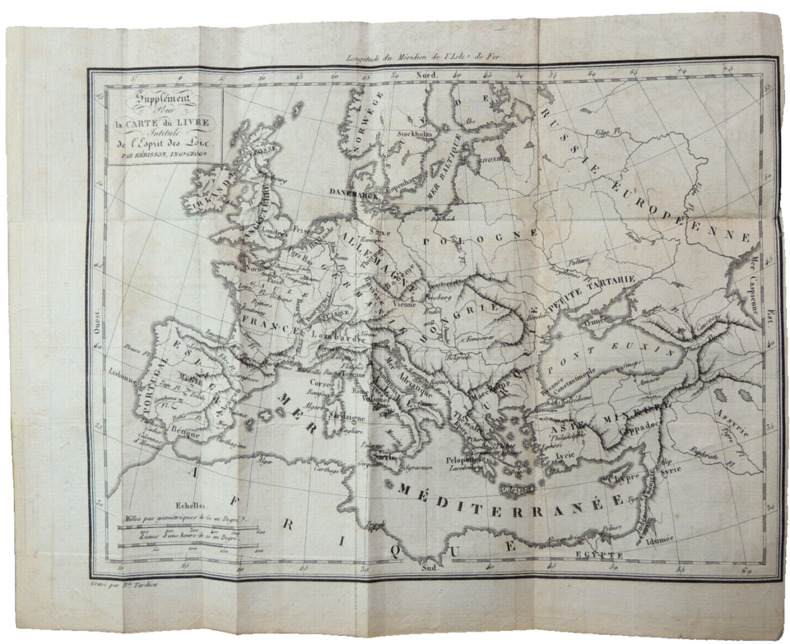
1820ref. CZC-12717format 24x19cm, bel état, vers 1820 ref/classeur 5
ref. 40786Paris Librairie Charles Delagrave, sans date (vers 1910) 1 carte routière ancienne, imprimée en couleurs, sous couverture illustrée. Feuille: GAP-CONI, de format : 42,5 x 101 cms, de la France en 47 feuilles. Carte au 200.000e. Bel exemplaire ( Photographies sur demande / We can send pictures of this print on simple request )
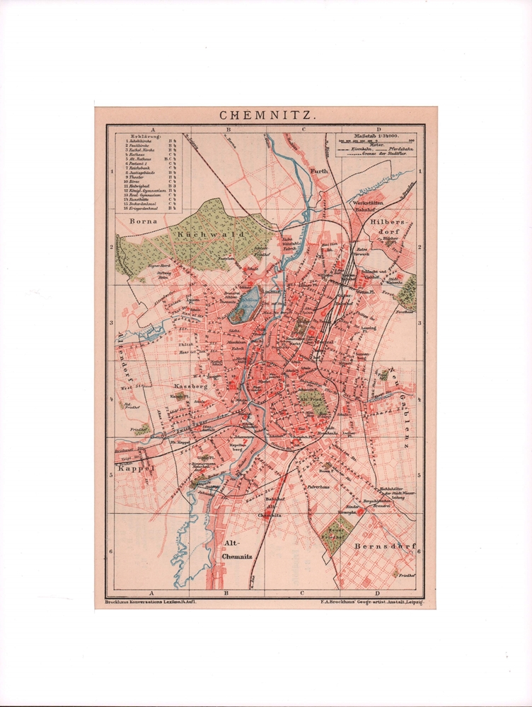
1900ref. 76502Leipzig, F. A. Brockhaus, [ca. 1900]. Bildgröße 19 x 12,5 cm. Unter Feinkartonpassepartout.