11.782 resultados
1938ref. 17090Paris L'Illustration 1938 GRAND In-8 53 cartes en 21 planches montées sur Onglets
ref. 108927A Lyon, chez Jean-Marie BRUYSET, Pere & Fils, 1774, 1 volume in-12 de 170x100 mm environ, xij-360-60 pages, 2ff. (approbation privilège, avis au relieur), titres dorés sur dos lisse, orné de caissons à fleurons et motifs dorés, gardes marbrées, tranches rouges. Une coiffe ébréchée, une coiffe arasée, cuir craquelé et frotté, des rousseurs et pages brunies. Avec un frontispice et 23 planches enluminées / 24 (il manque la planche à la mappemonde).
ref. 014024Paris J. Barreau 0 In-4 Agrafé, couverture illustrée
ref. 10697Paris, Edité par Continental, Société Anonyme de Caoutchouc Manufacturé, 1908. In-8 reliure percaline rouge, VIII pp. + 1 carte d'assemblage et 33 planches. France - Hollande - Belgique - Luxembourg - Alsace-Lorraine - Suisse - Italie du Nord - Espagne du Nord - Algérie et Tunisie.
Chamonix, Edit.Mont-Blanc, 1959. s/p. 8º mayor. Rústica editorial ilustrada. Muy buen ejemplar. En français.
1939ref. 5251Neuchâtel, Chocolat Suchard S.A., coll. Mon cher pays - My liebi Schwyz, albums photos. Série XVII, 1939. Rare petite pochette au format 9 x 6 cm., premier plat ajouré, second plat imprimé, avec languette de fermeture. En très belle condition. 10 photographies en noir à collectionner. Il existait un volume éponyme dans lequel il s'agissait de les coller.
1975ref. 39607(Hamburg, 1975). Mehrf. gefalt. farbiger Stadtplan von Hamburg u. seiner näheren Umgebung, 66,5 x 65,5 cm, darunter 1 farb. Plan der Innenstadt, 29 x 40,5 cm u. 1 Kte. von Norddeutschland,. 29 x 26 cm. Blattgröße 98 x 69 cm. Falzmaß 25 cm.
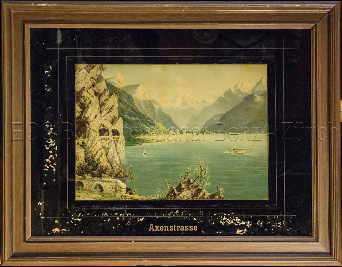
1860ref. 823CG(um 1860). Chromolithographie hinter Glas. Bildausschnitt: 24 x 33,5 cm. + Wichtig: Für unsere Kunden in der EU erfolgt der Versand alle 14 Tage verzollt ab Deutschland / Postbank-Konto in Deutschland vorhanden +, Abb.
1860ref. 823CG(um 1860). Chromolithographie hinter Glas. Bildausschnitt: 24 x 33,5 cm.
19905th edition. Good paperback. Covers creased. 10602. eng
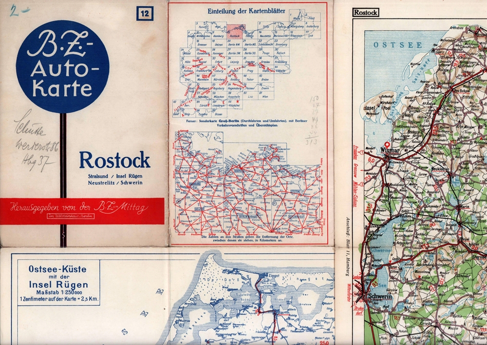
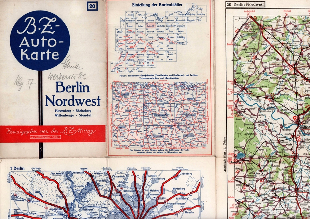
1939ref. 88285Berlin, Berliner Zeitung am Mittag, 1939]. Mehrfach gefaltete, farbige Karte, auf Leinen kaschiert. Maßstab 1: 250.000. Kartenmaß: 38,8 x 55 cm, Blattmaß: 43 x 57,8, Falzmaß 21,8 x 14,7 cm.
1939ref. 88286Berlin, Berliner Zeitung am Mittag, [ca. 1939]. Mehrfach gefaltete, farbige Karte, auf Feinkarton. Maßstab 1:250.000. Kartenmaß: 64,5 x 86,5 cm. Falzmaß 21,8 x 14,7 cm.
ref. 9782845244945in12 cartes postales cartonnées (Ref.: ref102285)
1920ref. 6297AUm 1920. 9 x 13,5 cm.
Undated, colour map. eng
Undated, map mounted on cloth. eng
Undated, map mounted on cloth, some fraying at edges. eng
Undated, paper map with some tape repairs. eng
12 mo, a folded map. Inscription is dated 1948. Detailed map of The Humber region. eng
Undated, closed tears to map. eng
1937Folded cloth map, some fraying and foxing to edges. eng
No date, folded cloth map, some fraying and foxing to edges. eng
Undated (1930s), map mounted on cloth, some light foxing, dusty covers. eng
1957No date, folded cloth map, some foxing to edges. eng
Published in 1970s, maps. eng