Livre Rare Book
12.070 resultados
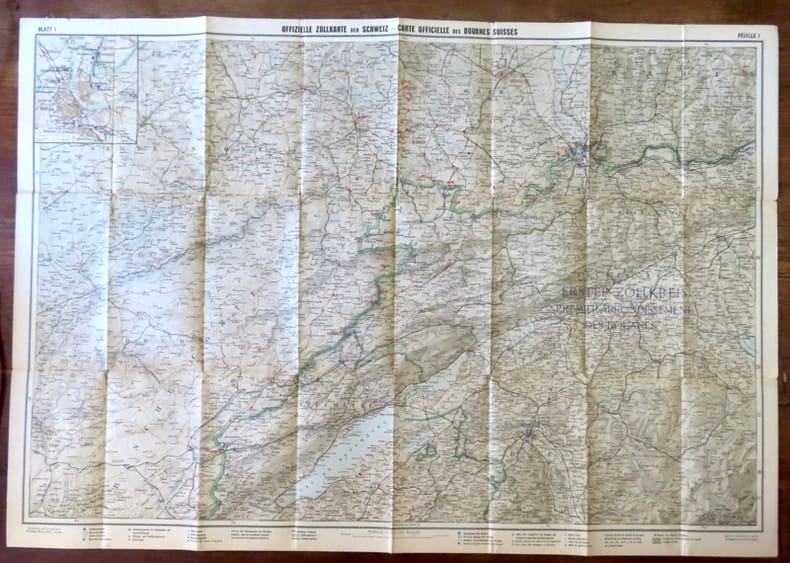
ref. 18439Berne, Département des douanes suisses / Zollderpartement - Kümmerli & Frey, sans date. Carte entoilée au 1:200.000, au format ouvert de 93 x 65 cm.
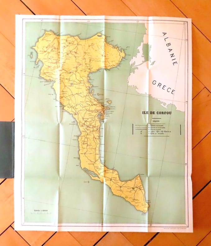
ref. 19035Corfu, The greek graphic arts ltd / G. Aspiotis Brothers, sans date. Carte au format 53 x 64, sous couverture imprimée. En belle condition.
1905ref. 88148Hamburg, O. und R. Enoch, [ca. 1905]. Farbiger, lithograph. Faltplan (verso s/w Druck). Blattmaß: 62 x 70,5 cm, Kartenmaß 60 x,69 cm, gefaltet 16 x 9,5 cm. OKart.
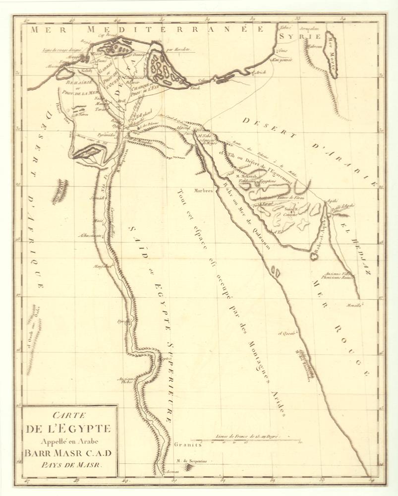
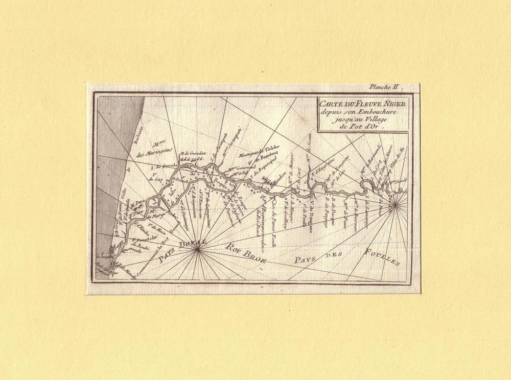
1787ref. 81418[Paris, 1787]. 32,5 x 26 cm.
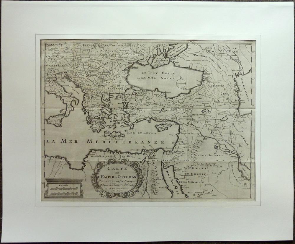
1709ref. 81229La Haye [Den Haag], T. Johnson, 1709. 33,5 x 44,5 cm. Unter Passepartout.
1830ref. 009582Paris - 21 Quai Voltaire: Rosselin 1830. Map. Fine. Map. A fine map hand-coloured in outline folding into original marbled paper boards with title label to the front board. Boards rubbed conrners worn. The map measures 74 x 55cm and is in very good condition with the paper bright. A very good to fine copy of this rare map. Rosselin hardcover
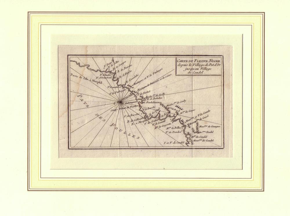
1789ref. 81634[Amsterdam / Paris, Maradan, 1789]. Bildgröße 8 x 13,5 cm, Blattgröße 10 x 15 cm. Unter Passepartout.
1789ref. 81620[Amsterdam / Paris, Maradan, 1789]. Bildgröße 8,5 x 14 cm, Blattgröße 10,5 x 17 cm. Unter Passepartout.
Paris, Edit. SCAP, 1946. Mapa topográfico excursionista. Escala 1: 50.000. En français. Muy buen ejemplar.
19561cm to 2km. eng
19571cm to 2km. eng
1818ref. 146180Paris, Picquet, 1818-19, 1818. Blattgröße 69cm x 100cm, Kartenansicht 32 x 25cm,
1818ref. 146181Paris, Picquet, 1818-19, 1818. Blattgröße 69cm x 100cm,
Vernet les Bains, Edit. Syndicat d'Initiatives Vernet-les Bains, c.1954. Mapa topográfico desplegable y entelado. 1/20.000. Firma antiguo proopietario. Buen ejemplar. Livre en français.
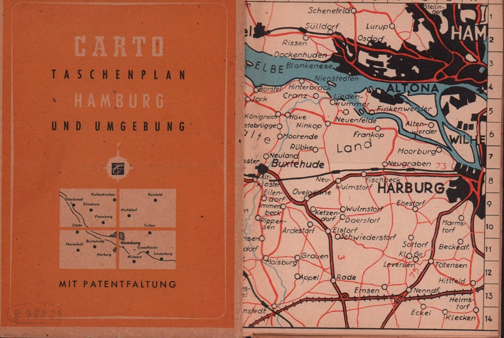
1933ref. 78829(Hamburg), Carto GmbH, 1933]. Zwei ausfaltbare dreifarbige Umgebungspläne auf Feinkarton, Maßstab 1:20.000 und ein blau-weißer Plan der Hamburger Innenstadt, Maßstab 1:12.000. 14,5 x 10,5 cm. OBrosch.
22,5 x 32 cm. Gerahmt Landkarten de
1992Includes Alderney, Guernsey, Jersey, Herm, Sark and plans of St Helier and St Peter Port, text in English, French and German. eng
18,2 x 22,3 cm. (Blatt 26 x 21 cm). *Rechter weißer Unterrand etwas fingerfleckig. Landkarten de
1987ref. 55178[Braunschweig, Archiv Verlag, 1987). 1 mehrf. gefalt. farb. Karte, Blattgröße ca. 69 x 52,5 cm.
ref. 14092Paris, J. Barreau, sans date. In-12 broché de 24 pages, couverture illustrée en couleurs (La perte de l'Ain). Tampon de l'office français du tourisme à Genève.
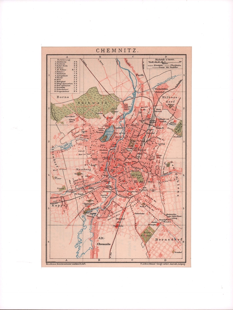
1900ref. 76502Leipzig, F. A. Brockhaus, [ca. 1900]. Bildgröße 19 x 12,5 cm. Unter Feinkartonpassepartout.
ref. 9782845244942in12 (Ref.: ref102282)
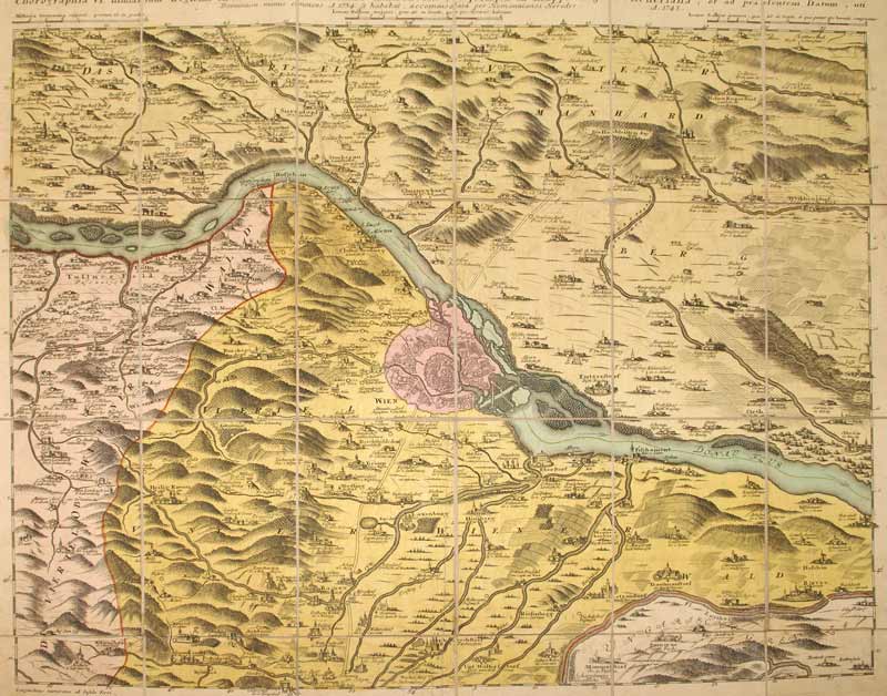
1748ref. KART0099Nürnberg, Homanns Erben 1748. altkol. Kupferstichplan nach Nikolaus Visscher (1649-1702), Gesamtmaß: 60,5x 50,6 cm, Ansicht: 56,5x46,5 cm, in 24 Teilstücke zerschnitten u. auf Leinwand aufgezog., kartenmäßig gefalt., zwei kl. Stockfl. im ersten Segment, an den Schnittstellen tlw. etw. Die Donau von Klein Schöhnbühel bis Petronell mit Grundriss von Wien (im Zentrum der Karte), Ortschaften in Vogelschau, Berge bewaldet u. dunkler hervorgehoben.
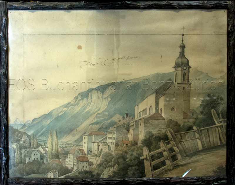
1850ref. 806CG(um 1850). Aquarell. Bildgrösse: 41 x 53 cm.
1850ref. 806CG(um 1850). Aquarell. Bildgrösse: 41 x 53 cm. + Wichtig: Für unsere Kunden in der EU erfolgt der Versand alle 14 Tage verzollt ab Deutschland / Postbank-Konto in Deutschland vorhanden +, Abb.