12.210 resultados
1818ref. 99350Hamburg, Schulbuchhandlung bei J. H. Gundermann, 1818. 31 S. Mit angebund. Faltplan der Stadt (Kupferstich), 29 x 37,5 cm. Kl.-8vo. 15,5 cm. Marmor. Interims-Kart. d. Zeit.
ref. 9782845227145Carte postale ancienne | Etat : Bon état général, écritures au crayon au dos (Ref.: ref97082)
ref. 9782845227137Carte postale ancienne, n° 185 | Etat : Très bon état, non utilisée (Ref.: Ref97074)
ref. 9782845227140Carte postale ancienne | Etat : Bon état général, écritures recto verso (Ref.: ref97077)
ref. 9782845227138Carte postale ancienne | Etat : Très bon état général (Ref.: Ref97075)
ref. 9782845227139Carte postale ancienne | Etat : Bon état général (Ref.: Ref97076)
ref. 9782845227146Carte postale ancienne | Etat : Bon état général (Ref.: ref97084)
ref. 9782845227148Carte postale ancienne | Etat : Bon état général, frottements, écritures recto verso (Ref.: ref97085)
ref. 9782845227136Carte postale ancienne | Etat : Bon état général, quelques petites tâches (Ref.: Ref97073)
1981Folded map in card folder. eng
1954Covers a little dusty. eng
ref. 25575Paris Taride In-8 Étroit C 1910, en une feuille couleur repliée avec une couverture
Very Good English Türkiyemiz. Kultur ve sanat dergisi. No: 56 Year: 18 Ekim 1988. [Special issue: Galata, Pera, Beyoglu]., Paperback. Pbo. Very good. 54 p. Roy. 8vo. (25 x 17.5 cm). B/w and color ills and photos. In Turkish and English. Articles: Gecmisi ozlerim, huzuru ve cilesi ile birlikte, Sevgi ve ozlem. =[Love and nostalgia.], Aydin Boysan. Nostaljik duygularin disinda haritalarla bes yüz yil boyunca Beyoglu. =[Except nostalgia, with maps five hundred years of Beyoglu.], Cahit Kayra. Arastirmacisini, sanatcisini bekliyen Galata ve Beyoglu: Bir cevre, bir umut. =[An environment, a hope, Galata and Beyoglu waiting for its artist and researcher.], Necat Askin. Dün-bugün arasinda bir semt: Beyoglu'nun animsattiklari =[A village between yesterday-today: Reminiscences of Beyoglu.], Fahir Aksoy.
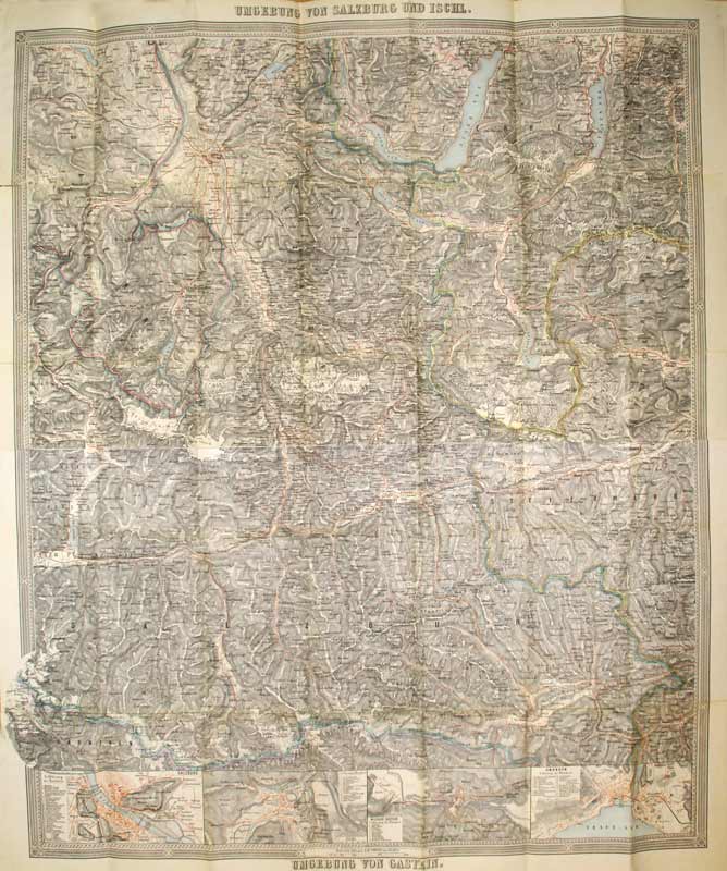
1880ref. KART0063o. O. Vlg. u. J. (um 1880). 85x72 cm, kol. Mehrfarbendr. m. Schraffen u. Legenden, Hauptkarte Umgebung von Salzburg und Ischl, 3 kl. Nebenkarten: Salzburg, Ischl, Wildbad Gastein u. Gmunden,
1920ref. 90084(Hamburg), L. Friedrichsen, [ca. 1920]. Mehrfach gefalt. Plan, Maßstab 1:100.000. Blattmaß 29 x 25 cm. Unter Passepartout.
[Viaggi umbria Urbino](cm. 20) Brossura editoriale illustrata a colori. 125 + 3 con la mappa e l'indice. Stampato su carta molto peante, ricchissimo di immagini fotografiche a colori anche a doppia pagina. Presenta il Palazzo ducale, il Duomo, Il palazzio dell'università, ed organizza il giro della città in 2 itinerari. In ottime condizioni Libro
ref. 9119s.l., Novelta, correspondance manuscrite au dos, datée de 1918, 1 carte postale de 13 x 8 cm, enfants au premier plan, personnages au second plan.
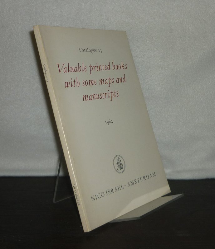
1982ref. 3127139Amsterdam: Nico Israel 1982. 85 Seiten. Mit vereinzelten Illustrationen. 8° (17,5-22,5 cm). Illustrierte Orig.-Broschur. [Softcover / Paperback].
1973ref. 90515Helsinki 1973. Mit zahlr. tlw. farb. Abbildungen. 111 S. Quer-Folio. OPp.
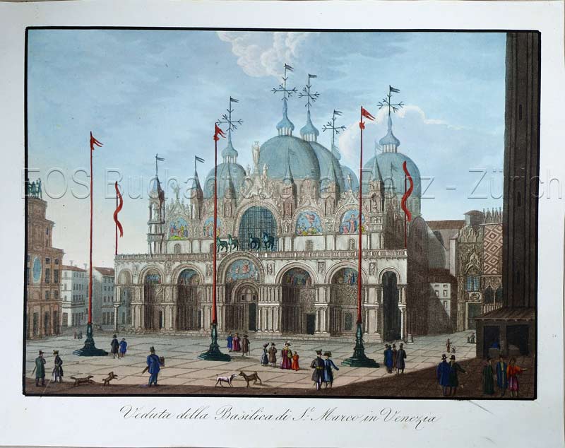
1820ref. 774CGO.O., (um 1820). Altkolorierte Aquatina. Bildgrösse: 15,5 x 21,3 cm. Blattgrösse: 18,4 x 23,5 cm. + Wichtig: Für unsere Kunden in der EU erfolgt der Versand alle 14 Tage verzollt ab Deutschland / Postbank-Konto in Deutschland vorhanden +, Bild
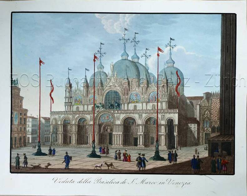
1820ref. 774CGO.O., (um 1820). Altkolorierte Aquatina. Bildgrösse: 15,5 x 21,3 cm. Blattgrösse: 18,4 x 23,5 cm.
1850ref. KART0156Gotha, Justus Perthes (um 1850). Grenzkol. Kupferstichkarte, mit Längen- u. Breitegradangaben in Rahmenleiste, unterhalb des Kartenbildes eine Gefällekarte, Bildausschnitt 20,5x25,5 cm, Blattgröße: 25x34,5 cm, zahlr. kl. Randrisse und Knitterspuren im w. Rand, durchgeh. Mittelfaltung, ra
1920ref. 88212Hamburg, L. Friederichsen, 1920. Mehrfach gefalt. farbiger Plan im Flachdruck, Maßstab 1:100.000. Kartenmaß 44 x 63 cm, Blattmaß 56 x 69,5 cm.
Format (Abb): 33 x 21 cm. Blattgröße ca. 40 x 26 cm. *Alt kolorierte Karte aus dem Atlas von Ortelius, rückseitig blank (ohne Text). - Veromanduorum (eine alte gallo-römische Siedlung), zeigt eine kleine Region rund um Saint-Quentin in Nordfrankreich nordöstlich von Paris. - Sehr gut erhalten. Landkarten de