PASAIA. MANUSCRIT.Livre Rare Book
12.228 resultados
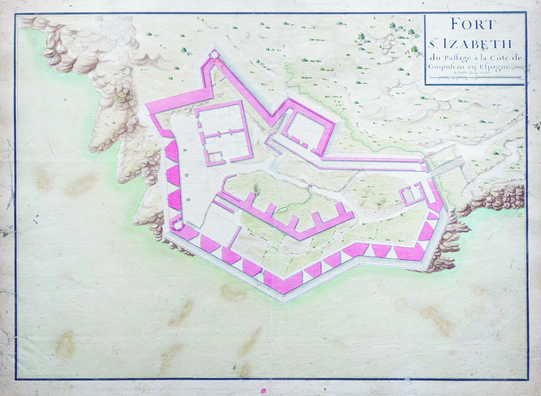
1750ref. LBW-4129[circa 1750]. 362 x 506 mm.
1997ref. 004587CLERMONT- FERRAND DE BOREE 1997 1 volume in-4 de 207 pages , dans sa couverture cartonnée éditeur en couleurs , très nombreuses reproductions de photos , gravures et cartes postales anciennes , envoi autographe , un léger écrasement à l'angle inférieur du mors du deuxième plat , bon exemplaire . Bon Couverture rigide
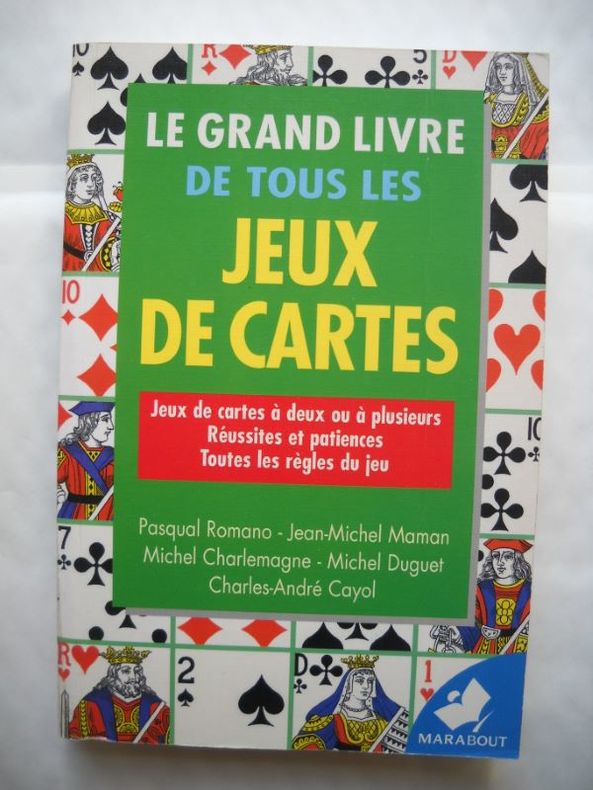
ref. 18648Broché - 13 x 19,5 - 479 pp - année 1999 - Editions Marabout - Illustrations
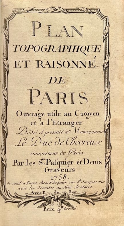
1758ref. 42372Se vend à Paris, chez Pasquier et Denis, 1758. Petit in-8 de 3 ff.n.ch., 149 pp., 1 f.n.ch., veau lisse brun, dos orné, pièce de titre en maroquin rouge (reliure de l'époque).
1991ref. 022234Avignon A. Barthélemy 1991 Grand In Quarto Depuis la Gaule Romaine , les cartes n'ont cessé de préciser l'image de la Provence et des régions avoisinantes . Voici l'album des anciennes cartes et des premiers plans . Nombreuses illustrations de cartes en couleurs et noir et blanc . Très beau cadeau à faire . Cartes et plans . Voyages . - 176 p. , 1 kg 850 gr.
ref. M3569P, Editions Hervas,1990, in4° reliure éditeur; 185pp, 164 illustrations. Une histoire de la cartographie des deux Indes par la Spécialiste du sujet. Indispensable et, .passionnant .!
1797ref. 6471Paris, Le Clere, 1797. In-8 de [4]-XXIV-420-[4] p., plein veau marbré, dos lisse orné de filets et fleurons dorés, étiquette de titre rouge.
1968Very slight marks to a few pages. No inscriptions. A very clean very tight copy with bright unmarked boards and no bumping to corners. Dust jacket not price clipped with very slight marking, creasing/rubbing to edges and small tears to spine ends. 111pp. New Zealand in 1968 in fifty-two full page colour plates with extensive detail and caption on opposite pages. A very scarce book.
1991Depuis la Gaule Romaine , les cartes n'ont cessé de préciser l'image de la Provence et des régions avoisinantes . Voici l'album des anciennes cartes et des premiers plans . Nombreuses illustrations de cartes en couleurs et noir et blanc . Très beau cadeau à faire . Cartes et plans . Voyages . - 176 p. , 1 kg 850 gr.
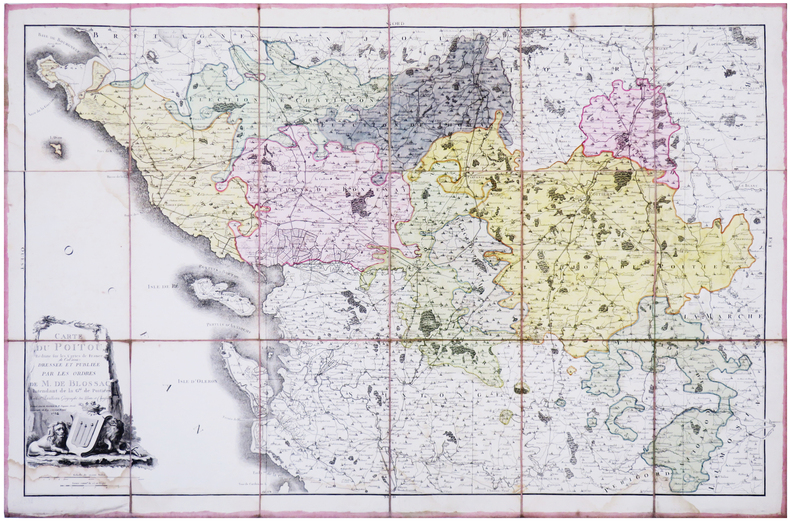
1784ref. LBW-78701784. En 18 sections montées sur toile et repliées, formant une carte de 620 x 945 mm.
1900ref. LBW-8525Paris, Saussine, [vers 1900]. 7 puzzles cartographiques coloriés (env. 29 x 38 cm), présentés dans leur boîte d'origine illustrée (32 x 40 x 5 cm).
ref. 6800Paris, Paulmier et De Branville, sd.(XIXe) Carte (100x68 cm). Limites en couleurs, marques de pliures, rousseurs.
ref. 111197S.l.n.d. [1957] 1 vol. Broché Double feuillet in-4 (50 x 32 cm ouvert). Édition originale de cet hommage poétique à la peintre et sculptrice Yolande Fièvre (1907-1982) sous la forme d'un fac-similé du manuscrit de Paulhan illustré de trois vignettes représentant une paire d'yeux. Paru en juillet 1957 dans la revue Bizarre, ce placard sur vergé crème filigrané est rarissime selon Lacroix (Bibliographie des écrits de Jean Paulhan, p. 189). En belle condition.
ref. 111197S.l.n.d. [1957] 1 vol. Broché Double feuillet in-4 (50 x 32 cm ouvert). Édition originale de cet hommage poétique à la peintre et sculptrice Yolande Fièvre (1907-1982) sous la forme d'un fac-similé du manuscrit de Paulhan illustré de trois vignettes représentant une paire d'yeux. Paru en juillet 1957 dans la revue Bizarre, ce placard sur vergé crème filigrané est rarissime selon Lacroix (Bibliographie des écrits de Jean Paulhan, p. 189). En belle condition.
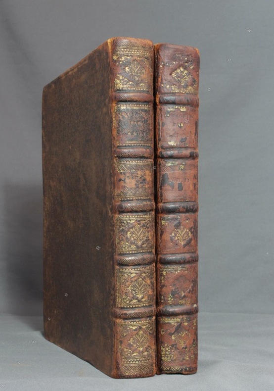
1731ref. 8782Paris, F. G. Quillau, 1731. 2 volumes grand in-4 de [2]-VIII-XXIV-478-[4] et [2]-VI-524 pages, pleine basane brune, dos à nerfs épidermés, manque la coiffe inf. du second volume. Rousseurs et brunissures.
1926Very Good German Paperback. Small 4to. (26 x 18 cm). In German. [xLviii], 88 p., 4 numerous b/w plates (Tafeln). Piri Re'îs [sic. Pirî Reis] Bahrîje. Das türkische Segelhandbuch für das Mittellandische Meer vom Jahre 1521. Band II: Übersetzung. 1. Lieferung, Kapitel 1-28. First Edition.
1878ref. 2104Paris, Librairie Hachette et Cie, 1878. In-8 de 381 pages, demi-chagrin rouge, dos à nerfs orné, plats de percaline, tranches dorées, gardes moirées blanches.
1789Carta tratta dalla rara raccolta di carte geografiche denominata Atlante Geografico, prima stesura delle opera dell’abate Bartolomeo Borghi, pubblicata in Siena dal Pazzini Carli. Molte delle carte, datate tra il 1788 ed il 1800, sono incise da Agostino Costa e poi successivamente inserite nell’opera Atlante generale dell'ab. Bartolommeo Borghi, pubblicato a Firenze nel 1819.Bartolomeo Borghi, che Vermiglioli (Biografia degli scrittori perugini, 1829) definisce "uno dei migliori geografi dell'Europa", nacque nel 1750 a Monte del Lago, piccola frazione del comune di Magione, in provincia di Perugia, sulle rive del Trasimeno. Ordinato sacerdote nel 1774, trascorse i primi anni del suo mandato nel paese natale, poi a Magione e quindi a Sorbello (Cortona).Appassionato studioso di geografia, applicò dapprima le sue conoscenze all'analisi delle terre a lui più familiari: nel 1770 scrisse Descrizione geografica, fisica e naturale del Lago Trasimeno (che sarà tuttavia data alle stampe per la prima volta solo nel 1821), e nel 1791 pubblicò negli atti dell'Accademia etrusca di Cortona una Dissertazione sopra l'antica geografia dell'Etruria, Umbria e Piceno, arricchendo entrambe le opere di una carta delle regioni descritte. Intanto la sua fama di cartografo, oltre che di geografo, cresceva, tanto da fargli ottenere le nomine a membro delle Accademie Cortonese e Reale di Firenze, e procurargli l'incarico, da parte di Pietro Leopoldo, di delineare la carta del catasto pubblico di Cortona e del contado di Castiglione.Nello stesso tempo gli orizzonti geografici della sua attività si allargavano sensibilmente, e se nell'Atlante Novissimo, illustrato ed accresciuto sulle osservazioni, e scoperte fatte dai più celebri e più recenti cartografi di Antonio Zatta (Venezia 1779-1785) il suo contributo fu ancora legato all'area toscana, nell'Atlante geografico che si pubblicò a Siena da Pazzini Carli tra il 1798 ed il 1800 il Borghi tracciò la maggior parte delle carte e spaziò dalle province del Sud-Est dell'Inghilterra, al Regno di Danimarca, alla Romania. Una sorta di prova generale, quest'ultima, della sua opera più importante, quell'Atlante generale dell'ab. Bartolommeo Borghi, pubblicato a Firenze nel 1819. L'Atlante, corredato da brevi descrizioni storiche, politiche, civili e naturali che introducono le carte relative ai territori afferenti a ciascun Impero o Regno illustrato, rispecchia il nuovo assetto geo-politico attuato dal Congresso di Vienna. Incisione in rame, in buone condizioni. Due fogli da 330x250mm. Map taken form the very rare Atlante Geografico, the first draft of the abbot Bartolomeo Borghi, published in Siena by Pazzini Carli. Many of the mapss, dated between 1788 and 1800, are engraved by Agostino Costa and then later incorporated in the Atlante Generale di Bartolomeo Borghi, published in Florence in 1819.Bartolomeo Borghi, who Vermiglioli (Biography of writers Perugini, 1829) calls "one of the best geographers of Europe", was born in 1750 in Monte del Lago, a small fraction of the town of Mansfield, in the province of Perugia, on the shores of Lake Trasimeno. Ordained in 1774, spent the first years of his term in his hometown, then to Mansfield and then Sorbello (Cortona).A passionate student of geography, first applied his knowledge to the analysis of land more familiar to him: Cortona and Tuscany. Meanwhile, his fame as a cartographer, as well as a geographer, was growing, so that he get the nomination as a member of the Royal Academies of Florence and Cortona, and give him the job, by Pietro Leopoldo, to outline the map's of the public land Cortona and the county of Castiglione.At the same time the geographical horizons of its activities widened considerably, and if in the Atlas Novissimo, illustrated and amplified the observations and discoveries made by the most recent and most famous cartographer Antonio Zatta (Venice 1779-1785) his contribution was still related area of Tuscany, in the Atlas geographic monthly published in Siena by Pazzini Carli between 1798 and 1800 the villages drew most of the maps and spaced from the provinces of South-East of England, the Kingdom of Denmark, Romania.A sort of dress rehearsal, the latter, his most important work, the Atlante General of AB. Bartolomeo Borghi, published in Florence in 1819. The Atlas, accompanied by brief descriptions of historical, political, civil and natural to introduce the papers relating to the territories belonging to each United Empire or illustrated, reflects the new geo-political structure implemented by the Congress of Vienna.Two sheets of 330x250mm.
1988ref. AUB-7853Lausanne, éd. Favre S.A. 1988. Bel exemplaire broché, couverture ornée d'éd., fort in-8, 826 pages + planches.
1953Folded map. No marks or inscriptions. No creasing to covers. A very clean very tight copy, bright unmarked, not torn and no bumping to corners. 1pp. Some 450 historic buildings, including 228 churches, are illustrated on the map from sketches and with Heraldic Emblems. On the reverse side is a comprehensive guide arranged alphabetically to the places of interest in towns and villages from Abney to Youlgreave. The map covers parts of Yorkshire West Riding, Cheshire, Staffordshire, Derbyshire and Nottinghamshire. Both map sides are held open to photograph with laid-on metal supports.
197330 pages. Undated. Appears to be circa 1970s. Suggests 30 gem-hunting areas in B.C. Two stickers on front cover. Doodling on back cover. Somewhat above-average wear. A sound copy. Book
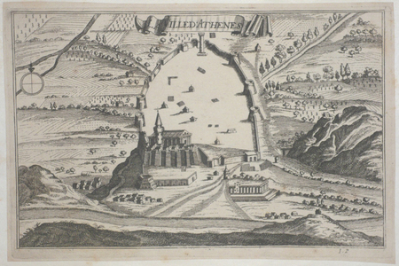
ref. LBW045fdcirca 1690 128 x 200 mm.
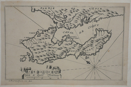
ref. LBW045dfcirca 1690 130 x 206 mm.
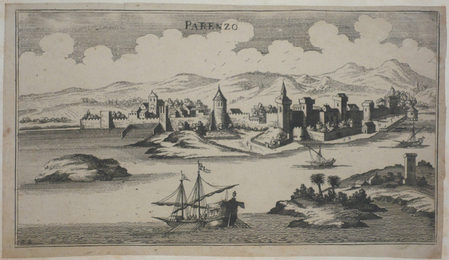
ref. LBW045eccirca 1690 133 x 238 mm.
ref. LBW02e6ccirca 1690 104 x 263 mm.