PERRIN (Maurice).Livre Rare Book
12.228 resultados
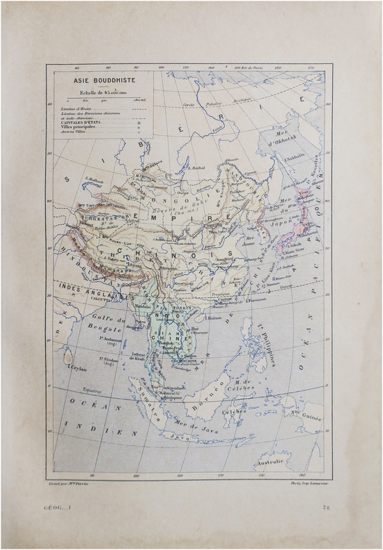
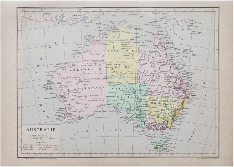
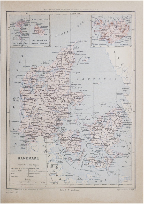
1890ref. LBW-8645Paris, [1890]. 230 x 157 mm.
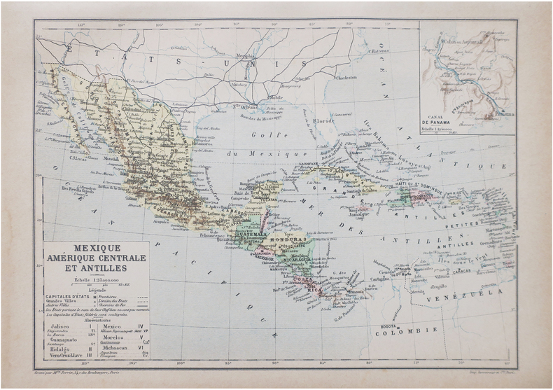
1890ref. LBW-8646Paris, [1890]. 230 x 158 mm.
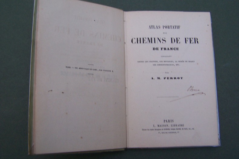
ref. CF343P., Maison, s.d. In-12, carte des environs de Paris en frontispice, 37 pages de cartes, cartonnage.
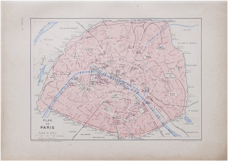
1890ref. LBW-8647Paris, [1890]. 193 x 260 mm.
ref. LBW03d71Paris, Benard, [circa 1850]. 212 x 285 mm.
1826ref. LBW-4800I. Duprat-Duverger, 1826. 296 x 293 mm.
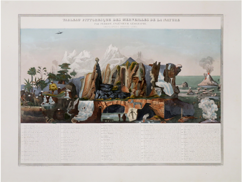
1861ref. LBW-7914Paris, Fatout, 1861. 612 x 842 mm.
1841ref. 7021841 carte entoilée, pliée in-8, qq. coupures aux plis, gravée / acier par bénard, ornée de chaque côtés par des lith. représentant villes et monuments / 1 col., fatout éditeur, 1841,
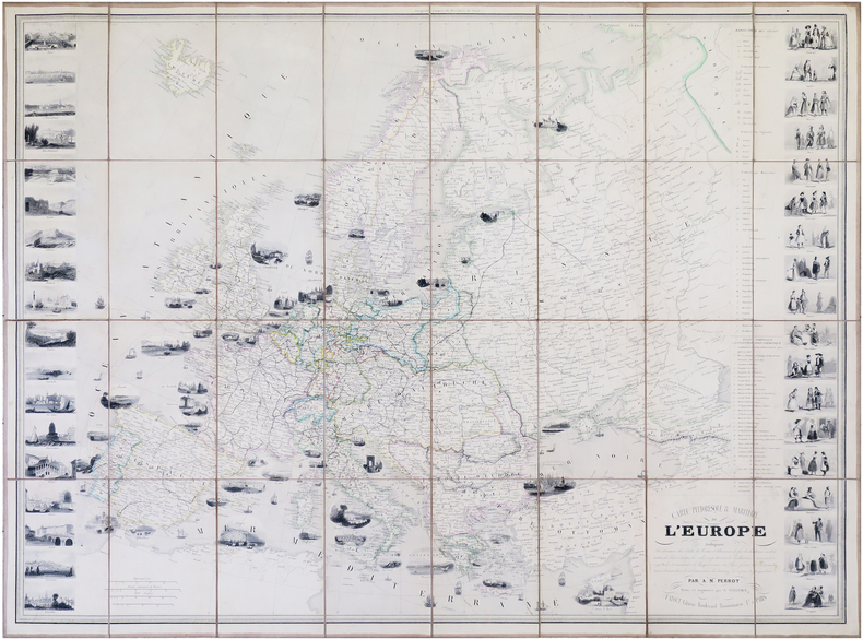
ref. 16163Paris, Bulla Frères et François Delarue, s.d.(1860). Grande carte entoilée de 82 cm x 112 cm) formée de 32 panneaux , gravée et rehaussée en couleurs à l'aquarelle. Rempliée sous percaline brune ornée à froid de l'époque, marque du libraire Auguste Fontaine (Passage des panoramas) et titre doré au premier plat "Carte routière". Très bon état.
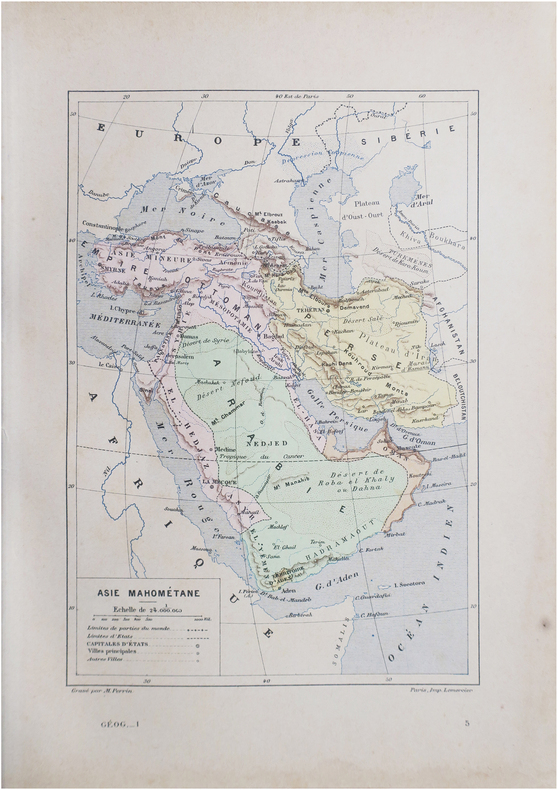
1890ref. LBW-8648Paris, [1890]. 267 x 190 mm.
1890ref. LBW-8649Paris, [1890]. 192 x 265 mm.
1890ref. LBW-8638Paris, [1890]. 163 x 225 mm.
ref. LBW03d69Paris, Benard, [circa 1850]. 225 x 297 mm.
1842ref. LBW-8431Paris, Langlois et Leclercq, Maison Basset, [1842]. 491 x 627 mm.
1863ref. LBW-8843Paris, Maison Bouasse Lebel, et ancienne Maison Basset réunies, [1863]. 440 x 585 mm.
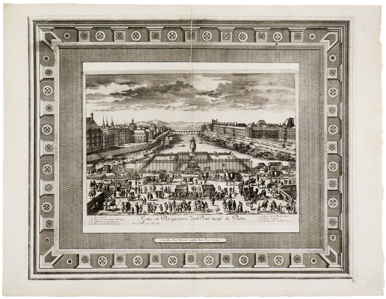
1710ref. LBW-5724Leyde, Pierre Vander Aa, [circa 1710]. 336 x 412 mm.
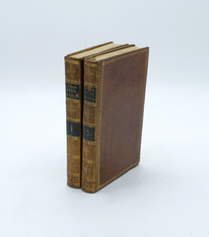
1803ref. PHO-1636Paris, Dentu, an XI (1803). 2 volumes in-8 (191 x 124 mm). 4 cartes et plans repliés hors texte : une carte de l'île de Ceylan par Arrowsmith et de la pêche des perles et les plans des ports de Trinquemale et Colombo, basane mouchetée de l'époque, dos lisses ornés avec pièces de titre et tomaison, dentelles dorées sur les plats, frottements et vieille épidermure au tome 2.
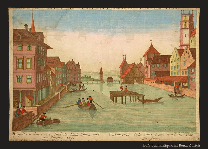
1770ref. 278BGO. O., ca. 1770. Kolorierter Kupferstich von Balthasar Frederic Leizel nach Perignan. Bildgrösse: 38 x 25 cm. Blattgrösse: 39,5 x 28 cm. + Wichtig: Für unsere Kunden in der EU erfolgt der Versand alle 14 Tage verzollt ab Deutschland / Postbank-Konto in Deutschland vorhanden +, 278BG
ref. 0366766228.Gpaperback. Good. Access codes and supplements are not guaranteed with used items. May be an ex-library book. paperback
1931400 pages including 69 black and white reproductions from photographs and numerous maps. Gilt-edged top. Former owner's rubber stamp upon verso of half title page and upon front side of black and white photographic frontis of General Pershing. Small bookseller's sticker inside back board. "My primary purpose in writing this story of the American Expeditionary Forces in France is to render what I conceive to be an important service to my country. In that adventure there were many lessons useful to the American People, should they ever again be called to arms, and I felt it a duty to record them as I saw them." - from the Foreward. Book
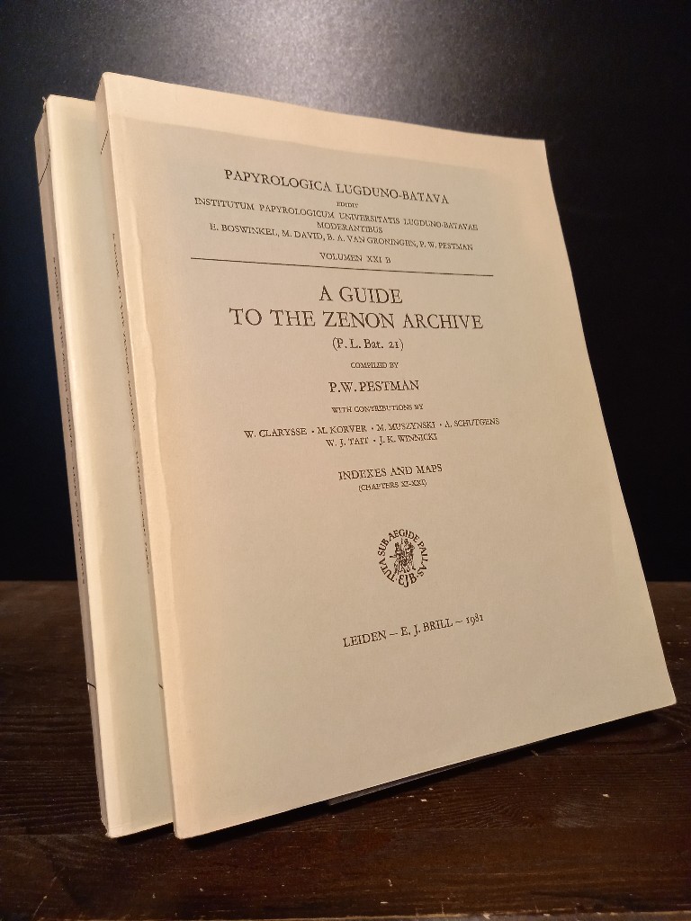
1981ref. 2140746Leiden: E. J. Brill 1981. XX, 466; 467-748 Seiten. With two maps. 4° (28 x 22 cm) Orig.-Broschuren. [Softcover / Paperback].
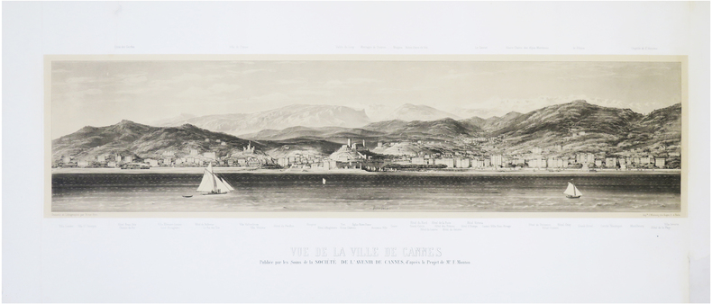
1865ref. LBW-7695Cannes, Société de l'Avenir de Cannes, [1865]. 310 x 925 mm ; lithographie sur Chine monté.
ref. 7539Paris, Editions des 7 Vents, 1990 11 x 20, 180 pp,cartonnage éditeur illustré, bon état
1858ref. 46631Gotha, Julius Perthes, 1858. 4to. Contemp, hcalf. Gilt spine. A small stamp to titlepage. VIII,596 pp. and 20, partly folded, lithographed maps and plans. Text as well as maps fine and clean.
1867ref. 46634Gotha, Julius Perthes, 1867. 4to. Contemp, hcalf. Gilt spine. Spine somewhat rubbed. A small stamp to titlepage. VI,470 pp. and 19, partly folded, lithographed maps and plans. Textleaves with some browning and scattered brownspots. Maps clean.