11.782 resultados
1771(København), 1771. (59 x 69 cm.). Kobberstukket kort over Nordøstsjælland. Opdelt i 24 sektioner og opsat på lærred således, at det ved foldning let kunne medbringes.
1771ref. 58005(København), 1771. (59 x 69 cm.). Kobberstukket kort over Nordøstsjælland. Opdelt i 24 sektioner og opsat på lærred således, at det ved foldning let kunne medbringes.
1771(København, 1771). (59 x 69 cm.). Kobberstukket kort over Sydøstsjælland fra Køge Bugt til den nordlige del af Møn. Opdelt i 24 sektioner og opsat på lærred således, at det ved foldning let kunne medbringes. Enkelte svage brunpletter.
1771ref. 58006(København, 1771). (59 x 69 cm.). Kobberstukket kort over Sydøstsjælland fra Køge Bugt til den nordlige del af Møn. Opdelt i 24 sektioner og opsat på lærred således, at det ved foldning let kunne medbringes. Enkelte svage brunpletter.
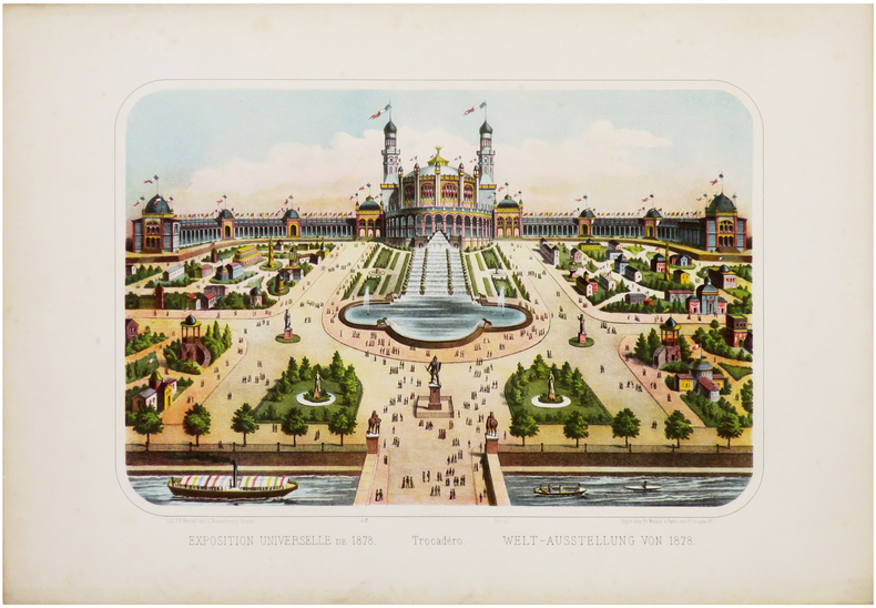
1878ref. LBW-6761Paris, Fr. Wentzel, 1878. 275 x 386 mm.
ref. 68632Salzburg, Residenz, 1977 in Schuber, 398 Seiten, mit 140 Bildwiedergaben, davon 83 Farbtafeln, 47 Schwarzwei tafeln und 10 Abbildungen im Text.31.5 x 36 cm, GERMAN. *Sehr gut. ISBN 9783701701766.
1961ref. GB000KFX6W4I3N11Garden City Books 1961. Hardcover. Good. Former library book; Missing dust jacket; Pages can have notes/highlighting. Spine may show signs of wear. ~ ThriftBooks: Read More Spend Less.Dust jacket quality is not guaranteed. Garden City Books hardcover
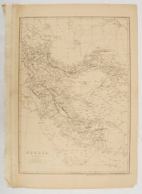
1863ref. 177017London.: Cassell Petter and Galpin. circa1863. Engraved map 43.1 x 30.3 cm 50.7 x 34.5 cm sheet central fold small edge tears one neatly repaired lower corner chipped slight age toning but in very good condition. Impressive large map of Persia Iran by noted map maker Edward Weller in original uncoloured state re-issued by the publisher for inclusion as map 26 in Cassell's Atlas. . Cassell, Petter and Galpin. unknown
1939No marks or inscriptions to contents. Very minor creasing to some corners. Clean tight pages with very slightly marked dusty boards, rusty staples and no bumping to corners. With eight attached fold-out coloured maps of major tourist areas in Britain and Ireland in very good condition. 84pp. With forty itineraries of 7 to 14 day Tours in England, Scotland, Ireland and Wales, forty sketch maps and eighty illustrations.
50 x 59 cm. 50 x 59 cm. *Sauber und sehr gut erhalten. Landkarten de
ref. 2867Dimensions : 90,5 x 63,5 cm. Tirage limité à 150 exemplaires numérotés, celui-ci numéro 48. Signature de l’artiste au crayon dans l'angle inférieur droit. Ce jeu a été gravé sur cuivre en taille douce à la pointe sèche par Claude Weisbuch (1927-2014). Le tirage de l’estampe sur papier Rives format colombier a été réalisé par le pressier Patrick Degouy à 150 exemplaires signés et numérotés par l’artiste et destinés à France Cartes, qui a ensuite édité un jeu reproduisant la gravure rehaussée. Le jeu de carte est peu courant et la gravure l'est encore plus.
1998ref. 109084Paris Société des peintres-graveurs français 1998 1 vol. Broché Carte dépliante sur Arches illustrée d'un beau portrait d'Eugène Delacroix gravé à la pointe-sèche (18 x 14 cm), numéroté 96/240 et signé par Claude Weisbuch. En parfait état.
1991ref. 109085Paris Société des peintres-graveurs français 1991 1 vol. Broché Carte dépliante sur Arches illustrée d'un beau portrait de Mozart gravé à la pointe-sèche (19 x 14 cm) et signé par Claude Weisbuch. En parfait état.
ref. 6316Lausanne, La Marge. Sérigraphie originale au format 25,5 x 17 cm., tirage non mentionné.
ref. LBW027caNuremberg circa 1720 315 x 397 mm.
1720ref. LBW-8790Nuremberg, [circa 1720]. 312 x 398 mm ; montée sur toile.
1932192 pages including index plus 7 additional pages of maps. Illustrated with sixty drawings and twenty-four photographs reproduced in photogravure. A book of the beauty and legend of the North - of the most perfect and unspoiled countryside in England. Average wear. Average bumping and some fading to boards. Bright gilt lettering upon spine. Binding intact. Former owner's signature upon front endpaper. Book
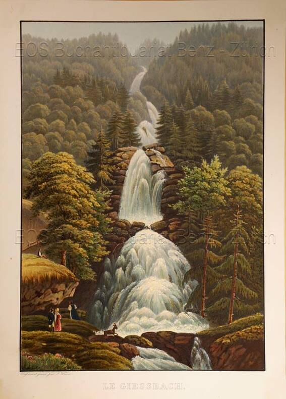
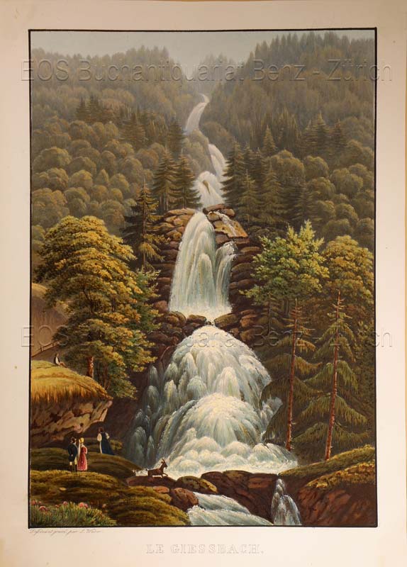
1935ref. 619DGO.O., um 1935. Altkolorierte Aquatinta von Lukas Weber. Bildgrösse: 24,8 x 17,3 cm. Blattgrösse: 28,3 x 20,2 cm.
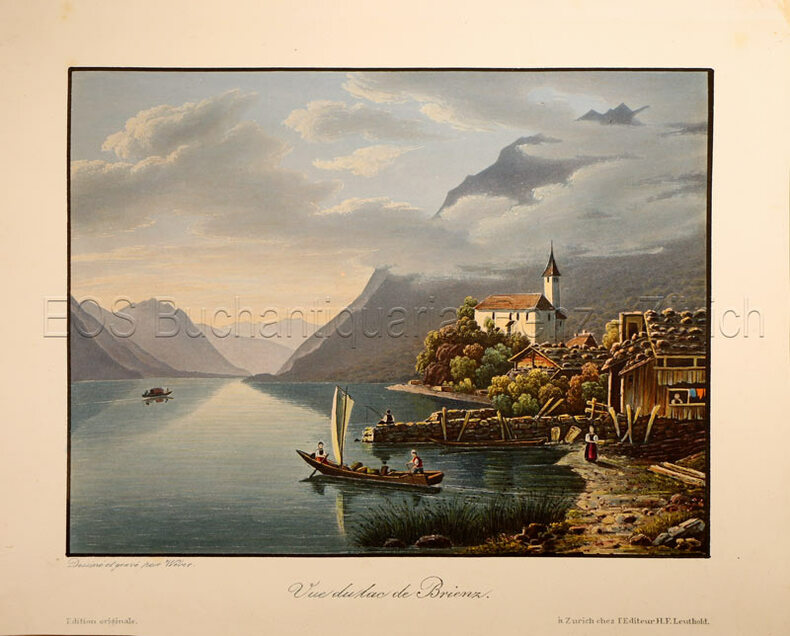
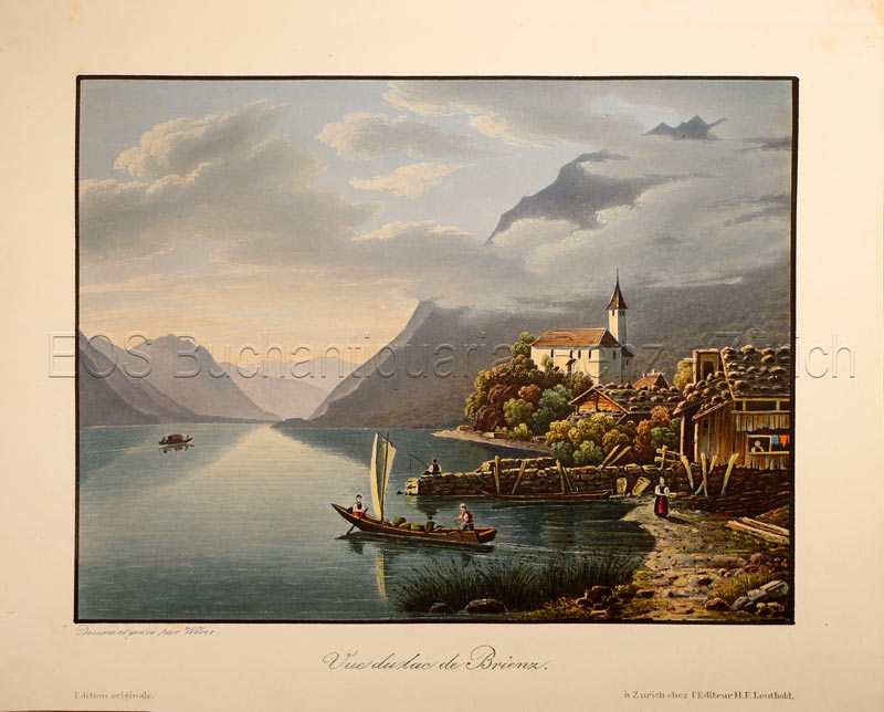
1840ref. 781CGZürich, H. F. Leuthold, um 1840. Altkolorierte Aquatinta von Lukas Weber. Bildgrösse: 13 x 17,3 cm. Blattgrösse: 17,1 x 21,5 cm.
1935ref. 619DGO.O., um 1935. Altkolorierte Aquatinta von Lukas Weber. Bildgrösse: 24,8 x 17,3 cm. Blattgrösse: 28,3 x 20,2 cm. + Wichtig: Für unsere Kunden in der EU erfolgt der Versand alle 14 Tage verzollt ab Deutschland / Postbank-Konto in Deutschland vorhanden +, Abb.
1840ref. 781CGZürich, H. F. Leuthold, um 1840. Altkolorierte Aquatinta von Lukas Weber. Bildgrösse: 13 x 17,3 cm. Blattgrösse: 17,1 x 21,5 cm. + Wichtig: Für unsere Kunden in der EU erfolgt der Versand alle 14 Tage verzollt ab Deutschland / Postbank-Konto in Deutschland vorhanden +, Abb.
1893ref. 175715New York.: Hunt & Eaton. Circa1893. Printed colour map 24 x 28 cm four thumbnail inset maps: Banana; Boma; Matadi & Environs; Stanley Pool named for the explorer; and below a lozenge inset of the road from Matadi to Leopoldville marginal toning and small edge tears one corner creased but in very good condition and on the verso explanatory text and line engravings in two columns for this map and partial description for the previous entry for the Suez Canal from Hunt & Eaton's school atlas published in 1893. . (Hunt & Eaton). unknown
2007Signed, without inscription, by author upon title page. 146 pages. Bibliography. "Takes the reader on a 1783 canoe trip along the Rideau Route, revealing the landscape as it appeared prior to any European settlement. Transcriptions and maps of Lt. French's 1783 survey, as well as those of Lt. Joshua Jebb in 1816 and Samuel Clowes in 1823-24, are included as first hand accounts of the route. This newly revealed pre-canal engineering achievement will allow readers to better understand and appreciate the enormous engineering achievement of the Rideau Canal. Profusely illustrated with maps and period paintings." - from back cover. Clean and unmarked with light wear. A quality copy. Book