Yamamoto, Luci & Gorry, ConnerMareMagnum

12.176 resultados
2008Appears unread. No marks or inscriptions. No creasing to covers or to spine. A very clean very tight copy with bright unmarked boards, minor traces of storage and no bumping to corners. 304pp. Lonely Planet guide to Hawaii with thirty-five themed itineraries for you to enjoy.
ref. 13975076Tel Aviv (Israël): Yaakov Aviel Publisher, 1984 in-4, xvi-72 pages, 49 ill. n/b, 49 ill. coul. Broché. Collection de cartes et de vues topographiques anciennes de la Terre sainte.
ref. CSP-19001981, Rotten Verlag, in 8 carré broché, 86 pages. Reproductions de cartes postales anciennes (1900-1910). Belle couverture illustrée avec copie d'un timbre de 5 centimes. Texte en allemand, français, anglais. 1 carte postale par page, voir photo.
ref. 17032,contenant les principaux jeux de cartes et de combinaison ,par une Société d'Amateurs .Aumgmentée d'un traité complet du jeu de l'Ecarté et de l'abrégé du jeu des echecs par Philidor . 1832 . Libr.Fontaine , In 16 relié plein chagrin marron .Dos lisse .Pièce de titre noire .Couvertures conservées .(Rel.mod.) II,178 pp.
Von 2 Platten gestochen und zu einer Karte zusammengesetzt. Format (Karte): 58 x 94 cm. Blattgröße: 68 x 100 cm. *Großformatige Karte von Württemberg (auch große Teile von Baden) von zwei Platten gestochen mit dem Gebiet im Westen von Straßburg und Weissenburg im Norden von Mosbach bis Hohenlohe, im Osten bis Dinkelsbühl, Nördlingen und Burgau und im Süden bis zur oberen Donau. - Oben links eine figürliche kol. Kartusche mit Dedikation an Herzog Eberhard Ludwig sowie einer kleinen Gesamtansicht von Stuttgart und dem Porträt von Herzog Eberhard Ludwig. - Oben rechts eine kol. Kartusche mit dem Wappen Württembergs und einer Ansicht von Tübingen. - Die Ränder rechts und links mit je 38 kolorierter Stadtwappen württembergischer Städte. - Mit Kolorit in der Karte ist der Bereich "Comitatus Hohenberg" markiert (aus dem Vorbesitz des Grafen von Hohenberg). Die weißen Außenränder etwas angestaubt und mäßig gebräunt. Bei Interesse können Sie auch den bisherigen Rahmen dazu haben (dieser nur bei Abholung). Landkarten de
16,5 x 12 cm, aufgefaltet: 55 x 64 cm. Auf Leinen aufgezogen, im orig. Kartonschuber mit handschriftl. Deckeltitel. *Karte von Worms bis Idstein (Süd-Nord) und von Bacherach im Westen bis Offenbach im Osten. - Sehr gut erhalten. Landkarten de
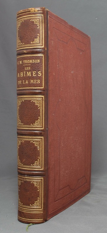
1875ref. 10028Paris, Librairie Hachette, 1875. In-4 de XXVII-454-[2] pages, demi-chagrin marron, dos à 4 nerfs orné de fleurons, filets, encadrements et titre dorés, plats de percaline, gardes moirées. Dos légèrement frotté, rousseurs, un cahier très légèrement déboîté.
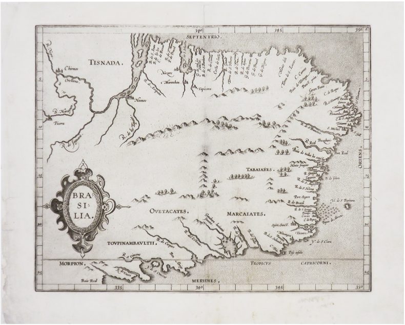
1607ref. LBW-8130[Douai, François Faber, 1607]. 228 x 286 mm.
1985252 pages. Examines the social and economic aspects of life in St. Edmonds since its beginning. Contains a blend of information from a number of sources including newspapers, scrapbooks, diaries, letters, photos, and other authors' research. Includes a treasure trove of genealogical information. Numerous black-and-white illustrations. Black-and-white photographic endpapers. Other than some hand-written genealogical details hand-written upon the family tree on page 205, book is clean, bright and unmarked with negligible wear. Moderate wear and bit of sunning to colourful dust jacket. Excellent copy overall. Book
1887ref. 28874paris typographie Morris et Compagnie, rue amelot, 64, 1887 une plaquette éditeur de 27 pages, brochée vieux rose in-douze Editeur, dos muet, 1ère de couverture imprimée en noir sur fond vieux rose dans un encadrement gravé en noir, 1855 Paris James WYLD géographe de la reine d'angleterre et de S.A.R. le Prince Albert (Paris, typographie Morris et Compagnie, rue amelot, 64,)
18798vo., folding coloured map on cloth measuring 31.5 x 22.5 inches (approx. 80 x 57 cms) folding in 20 panels to 7 x 4 inches (approx. 18 x 10 cms); tragically wanting front pasted wrapper (rare wrapper intact), some mild age-soiling else a very good, clean copy. Produced specifically for British military staff; the map is overprinted in red denoting the Positions of British Advancing Columns. RARE.
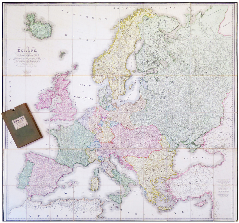
ref. LBW-6415London, James Wyld, Jan. 1st 1829. En 60 sections bordées de soie verte, montées sur toile et pliées, formant une carte de 1,52 x 1,60 m ; plats extérieurs de papier vert ; sous étui recouvert de toile, avec étiquette de l'éditeur portant le titre Europe describing the boundaries of its empires and states as confirmed by the definitive Treaty of Paris, 1815.
1970Informative vintage guide to Poland for visitors fiinely packed with details of historic places and attractions. Includes :28 itineraries, 61 alternative routes and diversions, 52 schematic plans of towns, 6 diagrams of the regions, 30 diagrams of historical monuments,7 schemes of itineraries, car map of Poland about 8,500 miles of described routes, 877 localities. 439p. index.A pocket inside back cover has an unused folded detachable map of Poland, and also endpaper maps.Enought to deflates Michelin! [6 copies found in WorldCat] Book
1944ref. 144301944. Collection of German produced maps created during World War II documenting military geography industrial targets and occupied territories across Europe. Printed between approximately 1939 and 1945 the maps reflect the cartographic infrastructure used by the German military and administrative authorities during the conflict. They include operational target mapping of industrial facilities in Britain as well as broader geographic maps of Central and Western Europe produced during the period of German expansion and occupation. The materials illustrate the strategic importance of cartography in wartime planning intelligence gathering and territorial administration. Archive of ten German language maps printed circa 1939-1945. The group includes a German aerial bombing target map of the Chesterfield Tube Works in Great Britain dated December 1942 showing an aerial photographic image of the factory area overlaid with roads bridges and designated target points. The document bears the warning "Nur für den Dienstgebrauch" translated as "For Internal Use Only." The Chesterfield Tube Works produced industrial cylinders and compressors important to the Allied war effort and German bombing raids targeted the factory and nearby rail lines; one recorded bombing attempt reportedly missed the intended target and struck a golf course several miles away. The archive also includes a map titled Karte der ehemaligen Tschechoslowakei "Map of the Former Czechoslovakia" printed with red elevation markings and bearing the headline "Sonderausgabe!" "Special Edition!" produced during the period of German occupation following the annexation of the Sudetenland in 1938 and the subsequent occupation of the remainder of Czechoslovakia in 1939. Additional maps depict the city of Plzeň located at the edge of the Sudetenland and occupied by German forces during the war along with maps of Köln Cologne Umgebung von Wien surroundings of Vienna and broader geographic overview maps labeled Deutsches Reich Frankreich and Italien. One large overview sheet titled Blatt Südost includes a color printed regional map with scale 1:1000000. During World War II the production of detailed maps formed a central component of military planning aerial reconnaissance and territorial administration across Europe. German cartographic units compiled aerial imagery industrial intelligence and geographic data to support bombing operations and to administer occupied territories. Maps such as the Chesterfield industrial target sheet demonstrate how aerial photography and cartographic overlays were combined to identify transportation networks and industrial infrastructure vulnerable to bombing campaigns. Other maps in the archive reflect the shifting political geography of Europe under Nazi occupation including representations of territories incorporated into or controlled by the German Reich. The group contains ten maps of varying sizes including large wall maps exceeding 50 inches in width. Several maps show signs of use including wear and annotations; the Plzeň map lacks the original key section. Overall condition ranges from good to very good with occasional handling wear consistent with wartime cartographic materials. A substantial group of World War II German maps documenting both strategic planning and the geography of occupied Europe. unknown books
1944ref. 144301944. Collection of German produced maps created during World War II documenting military geography industrial targets and occupied territories across Europe. Printed between approximately 1939 and 1945 the maps reflect the cartographic infrastructure used by the German military and administrative authorities during the conflict. They include operational target mapping of industrial facilities in Britain as well as broader geographic maps of Central and Western Europe produced during the period of German expansion and occupation. The materials illustrate the strategic importance of cartography in wartime planning intelligence gathering and territorial administration. Archive of ten German language maps printed circa 1939-1945. The group includes a German aerial bombing target map of the Chesterfield Tube Works in Great Britain dated December 1942 showing an aerial photographic image of the factory area overlaid with roads bridges and designated target points. The document bears the warning "Nur für den Dienstgebrauch" translated as "For Internal Use Only." The Chesterfield Tube Works produced industrial cylinders and compressors important to the Allied war effort and German bombing raids targeted the factory and nearby rail lines; one recorded bombing attempt reportedly missed the intended target and struck a golf course several miles away. The archive also includes a map titled Karte der ehemaligen Tschechoslowakei "Map of the Former Czechoslovakia" printed with red elevation markings and bearing the headline "Sonderausgabe!" "Special Edition!" produced during the period of German occupation following the annexation of the Sudetenland in 1938 and the subsequent occupation of the remainder of Czechoslovakia in 1939. Additional maps depict the city of Plzeň located at the edge of the Sudetenland and occupied by German forces during the war along with maps of Köln Cologne Umgebung von Wien surroundings of Vienna and broader geographic overview maps labeled Deutsches Reich Frankreich and Italien. One large overview sheet titled Blatt Südost includes a color printed regional map with scale 1:1000000. During World War II the production of detailed maps formed a central component of military planning aerial reconnaissance and territorial administration across Europe. German cartographic units compiled aerial imagery industrial intelligence and geographic data to support bombing operations and to administer occupied territories. Maps such as the Chesterfield industrial target sheet demonstrate how aerial photography and cartographic overlays were combined to identify transportation networks and industrial infrastructure vulnerable to bombing campaigns. Other maps in the archive reflect the shifting political geography of Europe under Nazi occupation including representations of territories incorporated into or controlled by the German Reich. The group contains ten maps of varying sizes including large wall maps exceeding 50 inches in width. Several maps show signs of use including wear and annotations; the Plzeň map lacks the original key section. Overall condition ranges from good to very good with occasional handling wear consistent with wartime cartographic materials. A substantial group of World War II German maps documenting both strategic planning and the geography of occupied Europe. unknown
1900ref. LBW-83251900. 605 x 835 mm.
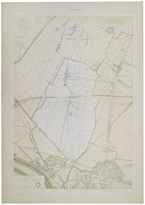
1895ref. LBW-51661895. 852 x 583 mm.
1961ref. 2080502106910491Not Available 1961. Soft Cover. Fine. The book is in fine condition. Not Available paperback
1930ref. 2080502106910370Not Available 1930. Soft Cover. Fine. The book is in fine condition. Not Available paperback
1935ref. 2080502106915465Not Available 1935. Soft Cover. Fine. The book is in fine condition. Not Available paperback
1937ref. 2306200115Government Printing Office 1937. hardcover. Very Good. 0x0x0. Bound in publisher's cloth. Hardcover. No dust jacket. Good binding and cover. Spine faded. Clean unmarked pages. Includes map in rear pocket. xxvi. 1140 pages. The American Guide Series was a group of books and pamphlets published under the auspices of the Federal Writers' Project FWP a Depression-era works program in the United States. The American Guide Series books were compiled by the FWP but printed by individual states and contained detailed histories of each state with descriptions of every city and town. The format was uniform comprising essays on the state's history and culture descriptions of its major cities automobile tours of important attractions and a portfolio of photographs. Government Printing Office hardcover
2016ref. 89152Oxford: Oxford University Press 2016. First Edition. First Impression. Oblong Octavo 25cm x 31cm; green cloth-covered boards with titling stamped in gilt on spine and front cover; pictorial endpapers; dustjacket; 281pp; colorful illustrations. From the library of noted poet translator and anthropologist Nathaniel Tarn 1928-2024 with his pictorial bookplate to verso of front endpaper. A Near Fine copy. Dustwrapper lightly spine-faded with trivial surface wear and price sticker to lower rear panel; Very Good. Biography of Wordsworth with marginal glosses notes chronology and bibliography. 89152. Oxford University Press unknown books
2016ref. 89152Oxford: Oxford University Press 2016. First Edition. First Impression. Oblong Octavo 25cm x 31cm; green cloth-covered boards with titling stamped in gilt on spine and front cover; pictorial endpapers; dustjacket; 281pp; colorful illustrations. From the library of noted poet translator and anthropologist Nathaniel Tarn 1928-2024 with his pictorial bookplate to verso of front endpaper. A Near Fine copy. Dustwrapper lightly spine-faded with trivial surface wear and price sticker to lower rear panel; Very Good. Biography of Wordsworth with marginal glosses notes chronology and bibliography. 89152. Oxford University Press unknown
1995No inscriptions or marks. A lovely clean crisp very tight copy with bright unmarked boards and no bumping to corners. Dust jacket not price clipped or torn with very light creasing to upper edge and traces of shelf rubbing. 160pp.
195910.5: wide x 13.5 tall book is in near fine condition with faint mark to front cover, light general scuffing. Binding is solid and square, covers have sharp corners, exterior shows no other blemishes in deep blue cloth, text/interior is clean and free of marking of any kind and is filled with full and double-page b&w and color illustrations, detailed maps, elaborate bright red illustrated endpapers. Unpaginated, about 250 pages. Dust jacket shows a closed tear 1", edge wear, general scuffing.