VERNE Jules:Livre Rare Book
12.365 resultados
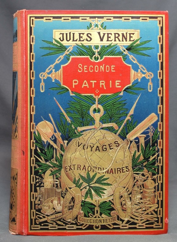
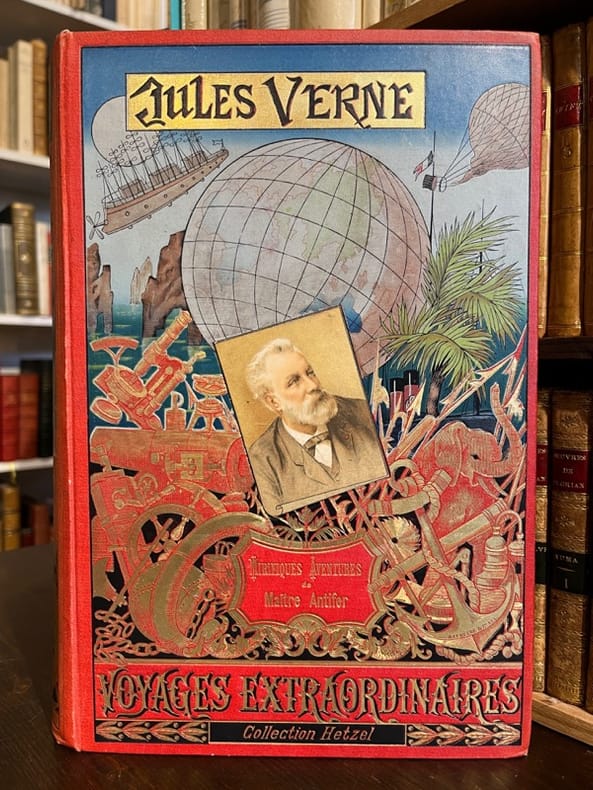
1894ref. 20069Paris, Bibliothèque d'éducation et de récréation - Les Voyages extraordinaires, J. Hetzel et Cie, 1894. Grand in-8 de [4]-420-[2]-8 (catalogue HF) pages, cartonnage polychrome d'éditeur "au portrait collé", dos au phare, second plat type Lenègre "e", tranches dorées. Lenègre relieur.
1819ref. 193641chez Debray A Paris, chez Debray, 1819. In-4 relié cartonnage vert de l'époque de 2, 40, 8, 8, 8, 8 et 8 pages.Ce plan gravé et réduit géométriquement d'après MM Verniquet, Architecte, et Lagrive, Ingénieur, s'étend au-delà des limites nouvellements fixées ; ou sont figurées divers embranchements et bassins des Canaux de l'Ourcq et de l'Yvette tant projetés qu'exécutés, avec leur description ; l'indice de principaux monumens et Etablissemens publics, tant anciens que nouveaux, qui sont établis dans cette vaste cité ; suivi de quelques notes véridiques des Evènemens extraordinaires arrivés dans cette grande ville. Bien complet des 4 plans dépliants en couleurs, ainsi que des 4 tableaux : Du plan de St Denis, lieu destiné depuis plusieurs siècles à la sépulture des Princes français. Du plan ou carte générale du canal de l'Ourcq à Paris, conçu en 1520, où plus de 22 millions ont déjà été employés. D'un plan et description de la Scie mécanique, destinée à récéper les pilotis au fond de l'eau, sans bâtardeaux ni épuisemens dans les travaux hydraulyques, et au moyen de laquelle on économise un tiers dans les dépenses, d'après MM. Perronet, Voclio et Cessart, célèbres ingénieurs de France, méritant d'être connus. D'un plan du premier Pont construit à Paris par ce procédé, avec description. Notes de l'éditeur sur quelques articles des embellissemens de Paris. Précis historique des canaux de l'Ourcq, de Saint Denis et de Saint Maur, à Paris. Analyse des canaux, des rivières de l'Yvette, de la Bièvre, de l'Orge, de la Juine et de l'Essone. Des rousseurs néanmoins bon exemplaire pour cet ouvrage intéressant sur les canaux de PARIS. Auteurs / Cartographes de référence : Ce plan a été réduit et gravé géométriquement d'après les travaux colossaux d'Edme Verniquet (célèbre architecte auteur du monumental plan de Paris de 1791) et de Jean-Baptiste de La Grive (ingénieur géographe). L'intérêt de ce document réside dans le fait qu'il ne se contente pas de cartographier le Paris de l'époque, mais propose une véritable rétrospective urbanistique en deux volets : L'évolution des différentes enceintes successives de la ville (l'enceinte romaine, celle de Philippe Auguste, de Charles V, de Louis XIV, et le mur des Fermiers généraux).L'indice des monuments anciens disparus et des nouveaux établissements publics. Des notes historiques sur les événements extraordinaires survenus à Paris. Un précis et une analyse des canaux de l'Ourcq, de Saint-Denis, de Saint-Maur, de l'Yvette ou de la Bièvre (projets majeurs de Napoléon pour alimenter Paris en eau potable et faciliter le commerce). L'ingénierie moderne : Les éditions contiennent souvent des planches techniques aquarellées, comme une coupe du célèbre Pont de la Cité ou le schéma d'une "scie mécanique destinée à recéper les pilotis au fond de l'eau sans bâtardeaux".
1898ref. 11863Paris, Bibliothèque d'éducation et de récréation - Les Voyages extraordinaires, J. Hetzel et Cie, [1898]. Grand in-8 de [4]-IV-471-4 (catalogue BH) pages, cartonnage polychrome "au globe doré" de type 3, dos au phare, second plat type Engel "h", tranches dorées. Dos passé, avec petits accrocs en tête et en queue.
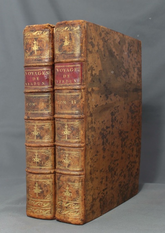
1778ref. 8670Paris, de l'Imprimerie Royale, 1778. 2 volumes in-4 de [4]-389-[1]-XIX-[3]; [8]-500-XXXII pages, plein veau marbré brun, dos à nerfs ornés de filets et fleurons dorés, pièces de titre en maroquin rouge, tranches mouchetées, petits accrocs aux coiffes supérieures, épidermures, coupes et coins frottés, tampon sur les pages de titre, quelques pâles rousseurs.
1 feuille repli?e 80x60 cm.
1954ref. 1868Couverture souple A, Mayette 1954 Paris 24x16 cm
1971ref. nf185Les Editions de la presse spécialisée Broché 1971 In-8, (18x12.5 cm), broché, 90 pages, préface de José le Dentu ; plats légèrement défraîchis, bon état. Livraison a domicile (La Poste) ou en Mondial Relay sur simple demande.
2003ref. 109143Paris Société Les Amis du livre contemporain 2003 1 vol. Broché Menu dépliant sur Arches illustré d'une lithographie (35 x 25 cm) signée par Vladimir Velickovic. En parfait état.
2003ref. 109143Paris Société Les Amis du livre contemporain 2003 1 vol. Broché Menu dépliant sur Arches illustré d'une lithographie (35 x 25 cm) signée par Vladimir Velickovic. En parfait état.
ref. BN92838Veiatlas Norge: Veikart = road maps = Strassenkarten 1:300 000 : bykart = city maps = Stadtplane 1:20 000 Norwegian Edition Unknown Binding Veiatlas Norge: Veikart = road maps = Strassenkarten 1:300 000 : bykart = city maps = Stadtplane 1:20 000 Norwegian Edition Unknown Binding Veiatlas Norge: Veikart = road maps = Strassenkarten 1:300 000 : bykart = city maps = Stadtplane 1:20 000 Norwegian Edition Unknown Binding unknown
1959ref. ZB1332156University of Texas 1959. 836 pp. two volumes maps paperbacks ex library else text and binding clean and tight. - If you are reading this this item is actually physically in our stock and ready for shipment once ordered. We are not bookjackers. Buyer is responsible for any additional duties taxes or fees required by recipient's country. University of Texas paperback
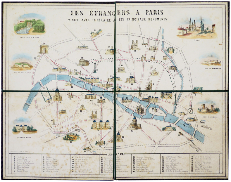
1855ref. LBW-5731Paris, G. Gautier, 1855. En 4 feuilles montées sur carton fort doublé de percaline moirée et repliées, de 495 x 630 mm.
Engraved map (73 x 52 cm), hand-coloured in outline. This finely engraved map, published in Vaugondy’s “Atlas Universel”, extends to the Caspian Sea in the north, in the west to show Greece, east to the Indus River, and south to include the Red Sea and the Nile River valley. Almost the whole of Arabia is blank and unexplored, but parts of Oman and the cities and places along the Arabian Gulf are indicated. In good condition. National Maritime Museum Cat. I, 317. Al Ankary 185.
1750A large engraved cont. handcoloured map of the Northern part of Russia from Novaja Semlja in the north to the Caspian Meer in the South, from Finland to Jakusskkáy, measuring 48,5 x 62 cm. Folded in center. A few tears in margins.
1750ref. 35070O. O. [um 1750]. Grenzkolorierte Kupferstich-Karte mit Kartusche links oben. Blattgröße: 49,5 x 65,5 cm. Am Kopf bis in den Plattenrand beschnitten und etwas wasserrandig. An den Rändern stellenweise etwas bestoßen und mittig am Fuß mit kleinem Darstellungsverlust.
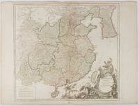
1751ref. 177606Paris. 1751. Engraved map 48 x 52.2 cm; 51 x 67.6 cm sheet provinces highlighted with outline hand-colour elaborate title cartouche central fold small tear at the foot affecting the border old paper repair on the verso affecting the margin only pin-holes to the four marginal corners margins a little browned and dusty a handsome map in good condition. Fine large format map showing China Korea Taiwan and parts of Central Asia prepared for De Vaugondy's "Atlas Universel". The beautifully foliated cartouche features a duo of joyful Chinese musicians one dancing and a diminutive figure holding a parasol. From the Estate of the late collector and scholar Arthur Hacker. . unknown
1839ref. 11981Paris Ledoyen s.d. [1839] in-18 br., couv. impr
ref. 13093LYON, guides Pol - In-16 - 7 Edition, vers 1914 - Brochée - 7 plans, 4 cartes dont 1 HT dépliante, 2 profils de route, Gravures en texte - 92 pages + environ 60 pages de publicités régionales, certaines illustrées - Propre
1910ref. 69361910 carte en coul., rempl. de 60X80 cms, couverture imprimée. Paris André Lesot (ca.1910),
1750ref. 16523A large engraved cont. handcoloured map of the Northern part of Russia from Novaja Semlja in the north to the Caspian Meer in the South, from Finland to Jakusskkáy, measuring 48,5 x 62 cm. Folded in center. A few tears in margins.
1886ref. AUB-3781Paris, Librairie Générale des Publications Populaires 1886. Bel exemplaire relié, rel. demi toile avec coins, gd in-8, 143 pages.
ref. DADAX1579129439New unknown
1944Cover: Our Royal Field-Marshal (King George VI) Viewing the Fighting in Italy. Features include: Our Notebook; Book Review: "Excellenz X: The Leader of To-Morrow's Germans" by R.G. Waldeck; The Great World War: What Next on the Eastern Front? (inc maps); Books of the Day; and The World of Science: Summer's Emptying Nests. Pictorial Journals include: The King (George VI) in Italy: His Majesty Awards Honours and Decorations; Obstacles in the Path of Our Normandy Advance: German Defensive Methods in a Compact Countryside (illustrated by Captain Bryan de Grineau); Britain's 17-Pounder: More than a Match for German Tanks (illustrated by G.H. Davis); The Armour Against Us: Some Details of Germany's Modern Armoured Vehicles in Use in Normandy To-Day (illustrated by G.H. Davis); Blazing the Trail: Bulldozers Carving Roads Through Debris in Normandy; The Allied Offensive in Normandy: Montgomery's Great Drive; Scenes of Action at Caumont and Other Sites; Advance in Normandy: The Type of Landscape Our Forces Experience; The Devastation of Modern War: St. Lo Cathedral and Other Ruined Sites; Three Famous Places in Brittany - Now in the War News; The Scene of an Invasion Rehearsal - The Invasion Staged in Reality; The 14th Army's Success in Burma Amid Arduous Conditions; Warsaw Yesterday: Poland's Capital Under Nazi Domination; The War From Varied Angles: Topicalities Recorded by the Camera; Flying Our Wounded Home From the Battlefields of Normandy (Illus. by Flight Lieut. H.W. Hailstone); Dover-Photographed by the Enemy for His Cross-Channel Guns; and A Puzzle Posed by High-Speed Photographs of a Bullet in Flight. Prior owners ink stamp with some writing centre front cover. Some ink smudges to back cover. Contents clean and unmarked. Moderate wear. Book
1944Cover: The First Entry of Canadians into Caen. Features include: Our Notebook; Book Review: "The Bank of England: 1694 - 1944" by Reginald Saw; The Great World War: Moving on in Italy (inc maps); Books of the Day; and The World of Science: Wood Comes of Age. Pictorial Journals include: In Liberated Caen: The Mayor Hoisting the Tricolour; Caen After the Battle: The Key City of Lower Normandy, whose Capture Marked a Valorous British Victory; Two Aerial Photos: German Atlantic Wall, Eastern Section of the Cherbourg Peninsula; On the Western Front (Battle of Normandy): War and Its Aftermath; On the Western Front: Scenes From the Battle Zones of British and American Armies in Normandy; The Red Army Surges On: Important Cities in the Path of Battle; A Lancashire Fusilier's V.C.: Fusilier (Francis Arthur) Jefferson, Single-Handed, Breaking Up an Enemy Tank Attack (illustrated by Captain Bryan de Grineau); The Onward Advance of Gen. Alexander's Armies: War Scenes at Castiglione, Lake Trasimeno, The French Entry into Siena; Mediaeval San Gimignano and Its Towers; The War in Burma: The Clearing of the Kohima-Imphal Road; The Japanese Main Fleet Caught Napping - Another U.S. Sea Victory (Battle of Philippine Sea); New Additions to our Fighting Power: Flying Bombs from Start to Finish; A Threatened View - Durham Cathedral from River and Railway (illustrated by Sir Muirhead Bone); and War's Trail of Devastation in Normandy: Historic Buildings Wrecked in Fierce Armoured Battles on the Allied Front. Binding sound. Clean and unmarked with minimal wear. A quality copy. Book
1944Cover: Le Touquet, France Canadian Soldiers Walking Along Promenade. Features include: Our Notebook; Book Review: "Norfolk Portraits" by R.W. Ketton-Cremer; The Great World War: Is This the Final Round? (inc maps); Books of the Day; and The World of Science: The Problem of Migrating Birds. Pictorial Journals include: Stubborn Resistance - American Troops in Moving Up for the Final Assault; The Greatest of Airborne Operations - The Invasion of Holland; Canals and Rivers of the Netherlands, Scene of a Vital Battle (inc map); Le Havre: The British Capture of the Important Enemy-Held Port; Infantry and Flame-Throwers in Action: Some of the Prisoners; The Triumphant Advance of the Allies: Scenes of Liberated France and Belgium; The Dutch Landscape Covered with Grounded and Falling Allied Parachutes; The First Penetration By U.S. Troops of the Siegfried Line; The A.V.R.E.: A British Mortar Tank Designed for Breaching Fortifications; The Battle of Britain Commemoration Service in Westminster Abbey on Sunday, September17, 1944; Secrets of the Flying Bomb: Constructional Details Revealed; The Mystery Structure Near St. Omer - Believed a Long-Range V-2 Base; The Quebec Conference, 1944; War Items of Interest; Pencil Studies of Gandhi and Jinnah, Who Recently Met in Bombay (illus. by Feliks Topolski); and Norman Wilkinson's Exhibition of "War at Sea" Paintings in London. Advertising cover: moderate to excessive wear, with prior owners ink stamp with some writing centre front cover. Page 339/340 missing. Page 361/362 loose but present. Covers loose and taped at fold. Contents clean and unmarked. A worthy reading copy. Book