TURPIN DE CRISSÉ, COMTE( Membre des Académies des Sciences et Belles Lettres de Berlin & nancy)Livre Rare Book
12.535 resultados
1759ref. 1274001759 De l'Imprimerie de Cl. Lequatre à Montargis - 1759 (Première édition) - 2 vol in-4 - Demi veau de l'époque, 5 nerfs, titre, tomaison et fleurons/caissons en doré (reliures usagées à restaurer). - 457 + 424 + 617 pages - Complet des 20 gravures en noir & blanc pour la plupart rempliées répartties sur chacun des deux volumes - Toutes tranches rouges
1754ref. 1273981754 Chez Prault, Fils l'aîné et Jombert à Paris - 1754 (Première édition) - 1 vol in-4 - Plein veau marbré de l'époque, 5 nerfs, titre, tomaison et fleurons/caissons en doré. - 204 pages - 25 gravures en noir & blanc pour la plupart rempliées réunies en fin de volume - Toutes tranches rouges
1977ref. fm651L'express, Les Presses de la cité, l'I.G.N Votre région Broché 1977 In-4 (20.5 x 28 cm), broché avec rabats, couverture illustrée en couleurs, 126 pages, préface d'Olivier Philip, présentation d'Henri Queffélec, textes de Jeanne Turin, avec 88 cartes en couleurs au 1:100 000 / itinéraires pour une découverte et photographies en couleurs in et hors-texte ; coiffes et bords frottés, pliures et marques d'usage à la couverture, notes manuscrites à la dernière garde, assez bon état. Livraison a domicile (La Poste) ou en Mondial Relay sur simple demande.
1960Folding street plan in red and black on paper, measuring 25.0 x 20.0 ins (approx. 63.5 x 51.0 cms) folding in 16 panels to 9.0 x 5.5 ins (approx. 23.0 x 14.0 cms); original printed wrappers in orange and black, yapped edges, covers very lightly age-soiled else a very good, bright, clean copy. With numerous trade advertisements.
1990A clean, unmarked book with a tight binding. 126 pages. Slight edge wear and marks to dust jacket. "Revealed here are design strategies for enhancing the dimensionality and density of portrayals of information -- techniques exemplified in maps, the manuscripts of Galileo, timetables, notation describing dance movements, aerial photographs, the Vietnam Veterans Memorial, electrocardiograms, drawings of Caler and Klee, computer visualizations, and a textbook of Euclid's geometry." Later printing.
1963ref. 9010503Indianapolis: Bobbs-Merrill 1963. 1st. Hardcover. Book fine Dust jacket fine. The dust jacket is price clipped and has minor chips and closed tears to the extremities. Bobbs-Merrill hardcover books
1954ref. UTUCPOL00JMJBobbs-Merrill 1954. Very Good. Tucker Glenn . Poltroons and Patriots: A Popular Account of the War of 1812 Two volumes. Tucker Maps W.T. Indianapolis: Bobbs-Merrill 1954. 812pp. Indexed. Illustrated. 8vo. Cloth with gilt lettering. Book condition: Very good with lightly bumped and yellowed spines. Slipcase is very good with light rubbing and yellowing. Includes monthly bulletin of American History Publication Society. Bobbs-Merrill hardcover books
In Hebrew. 180X250 mm. 43+4+12 + 55 Plates. Gilt Hard cover with dust jacket. Dust Jacket slightly torn on the upper edge. Cover and spine slightly worn. Yellow pages. Name of previous owner written on the first white page and on title page. Else in good condition. Includes Maps, Photos and Illustrations.
ref. 0195620410.Ghardcover. Good. Access codes and supplements are not guaranteed with used items. May be an ex-library book. hardcover
1989ref. SBBI-mon0000009291TT. Maps & Publications 1989. paperback. Good. Our good condition books are generally good for reading but not for gifting or collecting. They could have imperfections such as creasing fanning inscriptions margin notes yellowing staining on edge or cover or pages bumps scuffs etc etc sometimes multiple of these. It's a wide category that encompasses anything that isn't almost-new down to anything that is slightly better than poor. We would NOT recommend gifting Good books - these should be considered reading copies. Our books are dispatched from a Yorkshire former cotton mill. We list via barcode/ISBN so please note that the images are stock images and may not be the exact copy you receive furthermore the details about edition and year might not be accurate as many publishers reuse the same ISBN for multiple editions and as we simply scan a barcode or enter an ISBN we do not check the validity of the edition data when listing. If you're looking for an exact edition please don't order at least not without checking with us first although we don't always have time to check. We aim to dispatch prompty the service used will depend on order value and book size. We can ship to most countries see our shipping policies. Payment is via Abe only. TT. Maps & Publications paperback
ref. 8170530164.Gpaperback. Good. Access codes and supplements are not guaranteed with used items. May be an ex-library book. paperback
ref. 8170530962.Gpaperback. Good. Access codes and supplements are not guaranteed with used items. May be an ex-library book. paperback
ref. 56401aafZürich, Orell Füssli, 1921, 21, 22, kl. in-8°, Frontispiz Porträt Iwan v. Tschudie & ca. 600 S., mit Karten und Panoramen ill., grüner Original-Leinenband.
ref. 90011aafZürich, Orell Füssli, 1899, kl. in-8°, 534 S., mit vielen Karten, Gebirgsprofilen und Stadtplänen, roter Original-Leinenband, Schuber.
ref. 119935aafZürich, Orell Füssli, 1918, kl. in-8°, ca. 600 S., mit vielen Karten, Gebirgsprofilen und Stadtplänen illustriert, Original-Leinenbde
ref. 119936aafZürich, Orell Füssli, 1921, kl. in-8°, ca. 600 S., mit vielen Karten, Gebirgsprofilen und Stadtplänen illustriert, Original-Leinenbde.
ref. 137129aafZürich, Orell Füssli, 1895, kl. in-8°, 6 gelbe Blätter (Werbung & Index) + XXXIV + 534 S. + 9 gefalt. Panoramas + 6 gefalt. Stadtplänen + 11 Karten, und als Vorsatz hinten 1 Doppelblattgrosses Routekärtchen der Schweiz + 1 gef. Touristenkarte der Schweiz am Schlusse des Buches, roter Original-Leinenband, Schönes Exemplar.
ref. DADAX0321934075New unknown
Zaragoza, 1988. Folio; 79 pp., 4 hs. Con 24 láminas. Cubiertas originales.
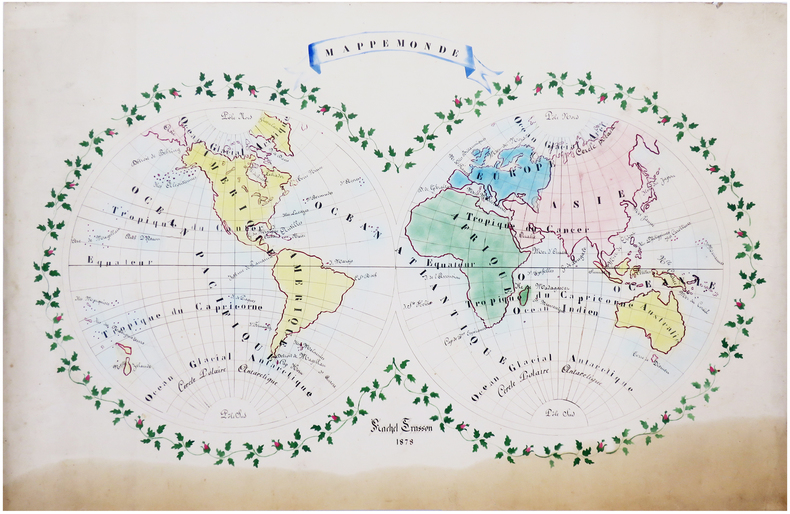
1878ref. LBW-66281878. 61 x 90 cm.
ref. 18061818 A Paris, Firmin Didot, 1818. Deux volumes in-quarto (215 X 269) broché TOME I : XIX (dont faux-titre et titre), 584 pages, frontispice " Armoiries des Etats de Languedoc " (relié entre les pages 328 et 329), 2 cartes, 2 plans et un tableau dépliants ; TOME II : frontispice (Blasons), VIII (dont faux-titre et titre), carte dépliante gravée couleurs de l'Aude, 679 pages (" errata " au verso du dernier feuillet), 3 vues et 2 plans. EDITION ORIGINALE de ce remarquable ouvrage complet en deux volumes, qui comprend notamment une CARTE en couleurs gravée et TROIS GRANDES PLANCHES dépliantes représentant la grande vue de Carcassonne avec le plan de la Cité, la vue générale de Castelnaudary et celle de Narbonne. Le premier volume contient une étude historique depuis la conquête romaine, la description des différents diocèses du Languedoc et enfin l'histoire des ouvrages publics et des canaux. Le second volume donne une étude très détaillée de l'Aude comprenant la topographie, géologie, description des villes et villages, population, moeurs, agriculture, industrie, commerce, pêche, etc. Claude-Joseph, baron TROUVE (1768-1860), fut le deuxième préfet de l'Aude, succédant à Barante. Très soucieux de sa mission administrative, il organise en 1807 un recensement démographique et agricole détaillé, fait exécuter plusieurs enquêtes sur l'industrie et l'école, crée un réseau de correspondants qui alimentent peu à peu sa future " Description générale et statistique du département de l'Aude " (Les Audois, Dictionnaire biographique sous la direction de R. CAZALS & D. FABRE, 328).
1973No marks or inscriptions. Minor creasing to covers adjacent to spine. A very clean very tight booklet with bright unmarked boards and no bumping to corners. Large fold-out street plan and map on rear in excellent condition. 40pp. Official guide the the Hertfordshire town of Tring with history, Local Authority information and photographs of the town in the early 1970s. Extremely scarce.
2005No marks or inscriptions. No creasing to covers or to spine. A lovely clean crisp very tight copy with bright covers and no bumping to corners. 160pp. The self-wraps open up to present a map of the island (front) and a map of Central Palermo (rear). This is the revised edition of the guide to the 10 best of everything in Sicily, eg, beaches, resorts, sights, restaurants, etc.
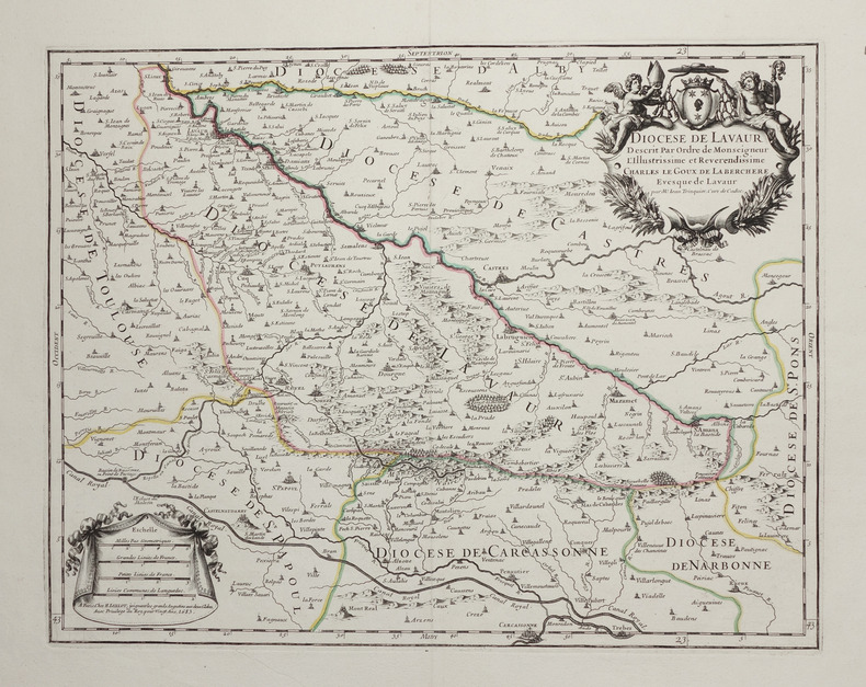
1683ref. LBW-2754Paris, H. Jaillot, 1683. 351 x 451 mm.
2012ref. 9842012 Sérigraphie au format 20 x 12.