Borgeaud Georges:Livre Rare Book

ref. 20970Reproduction au format 19 x 13 cm., contrecollée sur papier fort.
ref. 20971Reproduction au format 19 x 13 cm., contrecollée sur papier fort.
1804ref. PHO-1187Paris, F. Buisson, 1804. 3 vol. in-8 de texte et 1 atlas de planches .Texte : I/ xv-[1]-408 pp. ; II/ [2] sq., 431 pp. ; III/ [2] sq., 473 pp. ; Atlas de 4 pp., 58 planches et cartes , relié demi basane époque (atlas reliure moderne) , coiffes usées, mouillure et quelques rousseurs dans l'atlas . Édition originale avec l'atlas complet des 58 cartes et planches dont 1 en couleur ,gravées en taille douce par Adam, Blondeau, Fortier, Dorgez, B. Tardieu d'après les dessins de l'auteur.
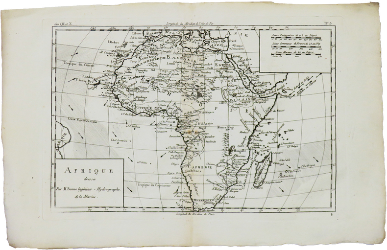
17801st Edition. 10 X 13 inch Copper Etching with Colored Outline. In French. Title translates into English as, Map of the Holy Land of the Twelve Tribes Of Israel. Rigobert Bonne (17271794) was one of the most important cartographers of the late 18th century In 1773 Bonne succeeded Jacques Nicolas Bellin as Royal Cartographer to France in the office of the Hydrographer at the Depôt de la Marine. Working in his official capacity, Bonne compiled some of the most detailed and accurate maps of the period. Bonnes work represents an important step in the evolution of the cartographic ideology away from the decorative work of the 17th and early 18th century towards a more detail oriented and practical aesthetic. With regard to the rendering of terrain Bonne maps bear many stylistic similarities to those of his predecessor, Bellin. However, Bonne maps generally abandon such common 18th century decorative features such as hand coloring, elaborate decorative cartouches, and compass roses While mostly focusing on coastal regions, the work of Bonne is highly regarded for its detail, historical importance, and overall aesthetic appeal. (Wikipedia, 2017) This map depicts the important settlements, as well as the regions of the twelve tribes. The Mediterranean coast reaches from Gaza in the south to Sidon in the north. Map spills over
ref. 66109CBo.J. [3 Warenabbildungen] (Rigobert Bonne, geb. 06.12.1727 in Raucourt in den Ardennen, gest. 02.09.1794 in Paris, französischer Mathematiker und
1978No marks or inscriptions. No creasing to covers or to spine. A very clean very tight copy with bright unmarked boards and no bumping to corners. 212pp. Guide to Mallorca (Majorca), very well illustrated with text throughout the pictorial section (160pp) in English. Practical information at end in English, Spanish, French and German. Very scarce in the UK.
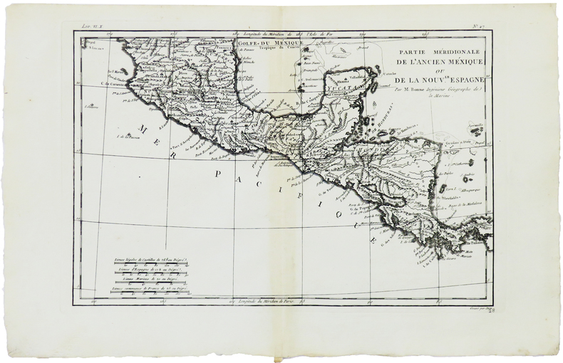
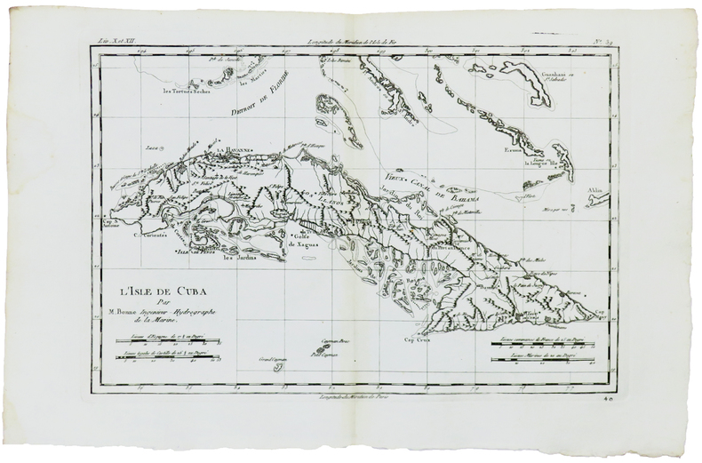
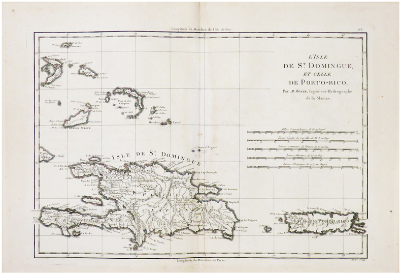
1780ref. LBW-5900[1780]. 211 x 318 mm.
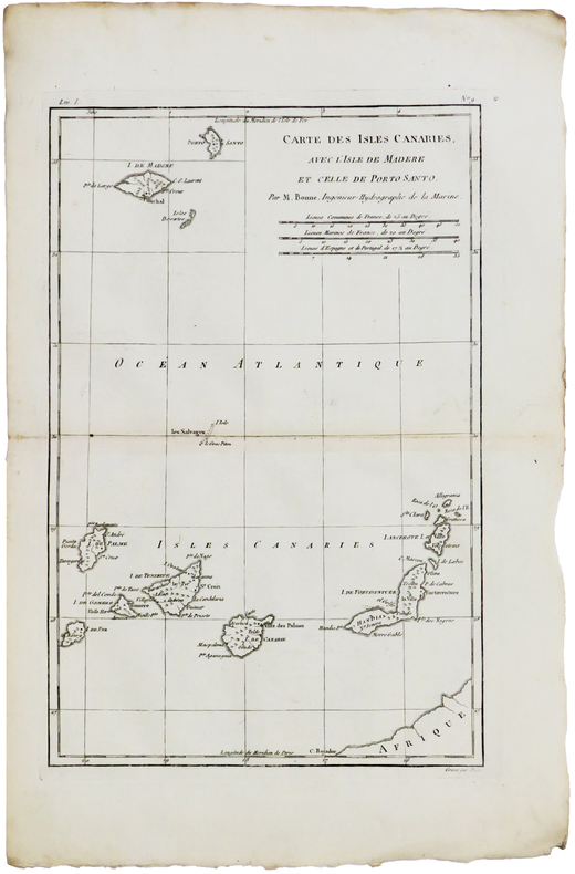
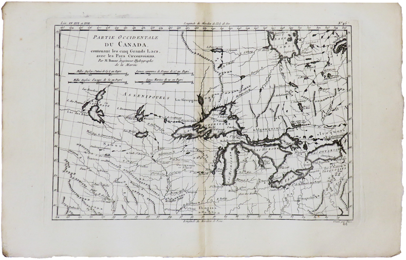
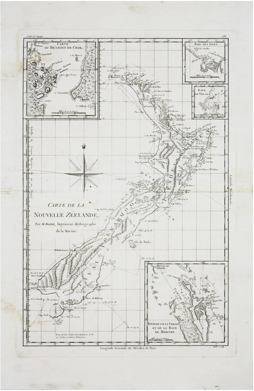
1780ref. LBW-5941[1780]. 320 x 211 mm.
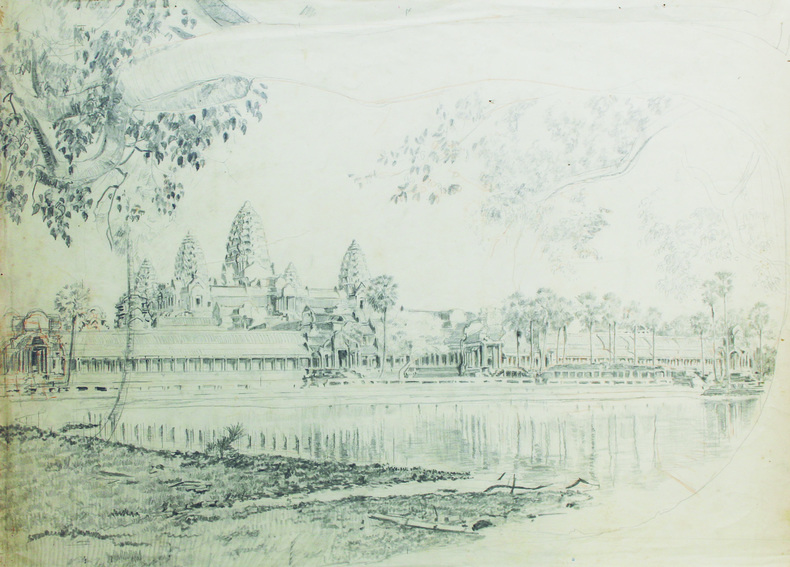
1915ref. LBW-6621[vers 1915]. Dessin original sur papier de 58,5 x 42,5 cm.
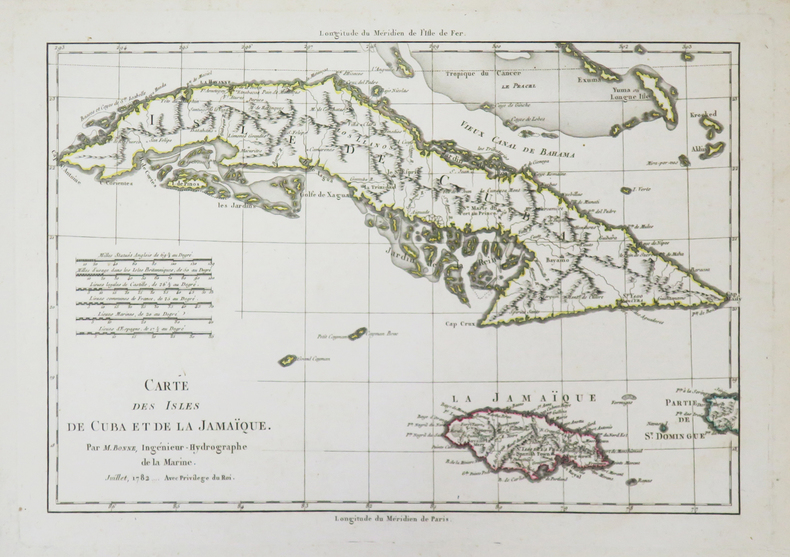
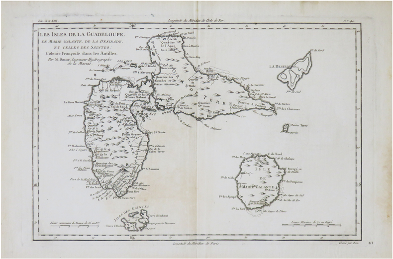
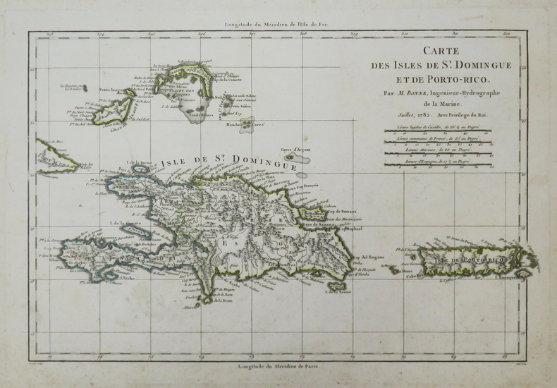
1782ref. LBW-37271782. 223 x 320 mm.
1780ref. LBW-5930[1780]. 214 x 316 mm.
1780ref. LBW-5929[1780]. 212 x 314 mm.
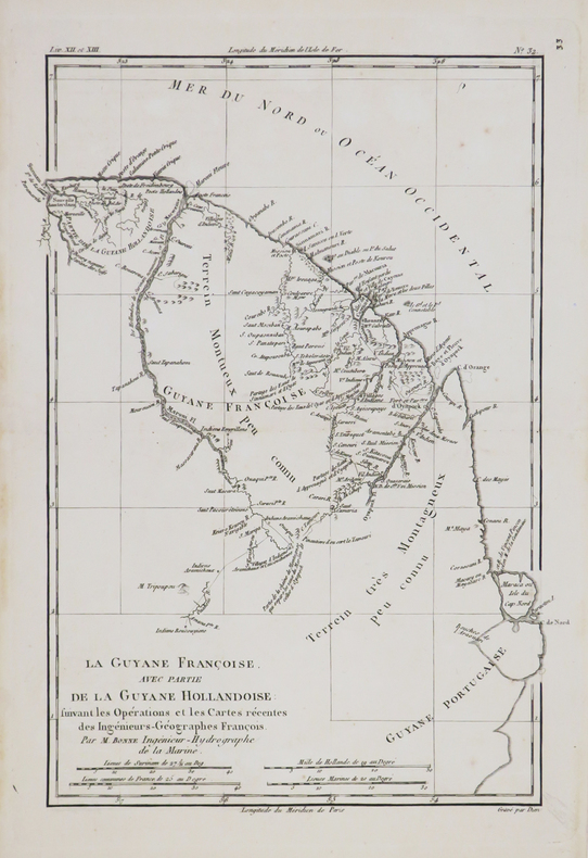
1770ref. LBW-4789[circa 1770]. 322 x 230 mm.
1780ref. LBW-9063[Genève, Jean-Léonard Pellet, 1780]. 217 x 317 mm.
1780ref. LBW-5894[1780]. 321 x 205 mm.
1780ref. LBW-5928[1780]. 208 x 315 mm.
1788ref. LBW-7242[1788]. 346 x 237 mm.
1788ref. LBW02492[1788]. 236 x 347 mm.
1782ref. LBW-37281782. 225 x 332 mm.
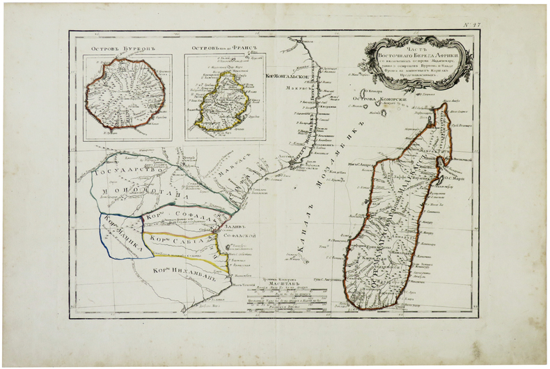
1780ref. LBW-3427[circa 1780]. 285 x 405 mm.
1780ref. LBW-5927[1780]. 212 x 314 mm.
1876ref. LBW-78641876. En 24 sections montées sur toile et repliées, formant une carte de 0,88 x 1,16 m, montée dans une reliure éditeur de percaline rouge, avec titre en lettres dorées ""Souvenir des Pyrénées. Carte de la vallée d'Ossau, Eaux-Bonnes, Eaux-Chaudes, par J B Bonnecase géomètre"", et armoiries de la vallée d'Ossau sur le premier plat.
1780ref. LBW-5939[1780]. 215 x 318 mm.
1976ref. 1239491976 Editions Corvina, série "HEREDITAS" - 1976 - In-8, couverture illustrée à rabats - 121 pages + planches en N&B - Nombreuses illustrations en N&B, in et hors-texte, dans l'ouvrage
1780ref. LBW-5942[1780]. 213 x 314 mm.