12.514 resultados
1987ref. 1417754Columbia: University of South Carolina Press 1987. First Edition. Hardcover. Octavo x xii xviii 332 pages. In Very Good condition with a Very Good dust jacket. Dust jacket protected with a mylar covering. Spine pictorial light blue and white with light blue and black lettering. Exterior has very slight wear including mild sunning. Boards have very slight wear. Text has very light wear including mild age toning to the edges. Illustrated. First edition. Shelved in Column L. 1417754. FP New Rockville Stock. University of South Carolina Press hardcover
1987ref. 1417756Columbia: University of South Carolina Press 1987. First Edition. Hardcover. Octavo x xii xviii 332 pages. In Very Good condition with a Very Good dust jacket. Dust jacket protected with a mylar covering. Spine pictorial light blue and white with light blue and black lettering. Exterior has slight wear including light soiling. Boards have slight wear including mild cocking to the spine. Text has very slight wear including mild age toning to the edges. Illustrated. First edition. Shelved in Column L. 1417756. FP New Rockville Stock. University of South Carolina Press hardcover
2001ref. lr626Armand Colin Dos carré collé 2001 In-8 (16 x 24 cm), dos carré collé, 187 pages, figures en noir et blanc ; légères pliures d'usage au premier plat, bande brunie le long du mors inférieur au quatrième plat, par ailleurs bon état général. Livraison a domicile (La Poste) ou en Mondial Relay sur simple demande.
ref. 1334563543.Gpaperback. Good. Access codes and supplements are not guaranteed with used items. May be an ex-library book. paperback
ref. 10768Les inondations de l’Yser et la compagnie des sapeurs pompiers du génie Belge. In 4 demi cuir fauve raciné à nerfs, faux-titre, titre, portrait de Léopold CALBERG tué à l’écluse de l’Yser le 16 juillet 1917. XX-148 pages, 551 figures (photos) et plans, certains dépliants, table des gravures III tables des photographies et des croquis supplémentaires relatifs aux chapitres I à XII (photos 138 à 551) 1pgae lexique de la terminologie locale, errata, 2 table des matières. Grande carte dépliante des inondations de l’Yser et Wateringue du nord de Furnes. Paris Berger-Levrault-Liège, Henri Desoer- Londres, Constable & Cie 1922. L’ensemble sur papier couché, non rogné. Edition originale. Bon exemplaire, peu courant
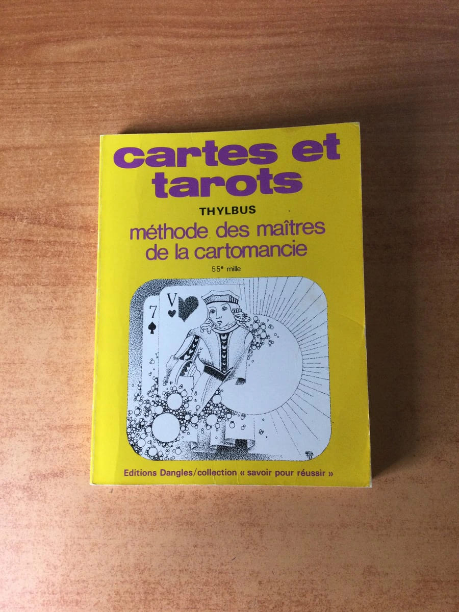
ref. 73761Editions Dangles 1983 livre guide 18*13,5 157 pages collection "savoir pour réussir"
1971ref. Q-0385074883Natural History Press; American Museum of Natural History 1971-01-01. Hardcover. New. New. In shrink wrap. Looks like an interesting title! Natural History Press; American Museum of Natural History hardcover
ref. 5248Bruxelles, Editions Libro-Sciences, 1973. In-12, format à l'italenne. Cartonnage éditeur toie verte avec une llustration en noir et blanc contre-collée sur le 1er plat. 137 pages de reproductions NB de cartes postales anciennes légendées. Une petite tache sur la couverture sans gravité. Bon état de l'ensemble.
1991ref. 55373New York, John Wiley & Sons, 1991. Geometrical methods for engineers and scientists XVI, 376 S. (24 cm) illustrierter Pappband / gebundene Ausgabe
2000128 pages. Index. Profusely illustrated with wonderful colour photos of lighthouses from each province, plus maps and directions, history, legend, lore and descriptions. Printed upon glossy stock. Clean and unmarked with moderate external wear. A quality copy of this charming and informative work. Book
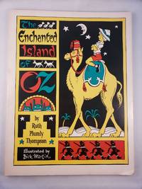
ref. 45456The International WIzard of Oz Club Inc. 1976. Small 4to.; illustrated stiff wraps softcover; 77 pages; black and white illustrations and maps; from the title page "founded on & continuing the famous OZ stories by L. Frank Baum"; a sunned errata slip laid in; bottom corner is bumped else very good. The International WIzard of Oz Club, Inc., 1976 paperback
ref. ria9780702074936_inpPaperback / softback. New. New Book; Fast Shipping from UK; Not signed; Not First Edition; N/A paperback
ref. 72546E-210. Hardcover. 8vo. Published by Robert Clarke & Co Cincinnati OH. 1875 xiv 454 pp; v 478 pp; iv 22 fold-out maps. 3 volumes including 2 volumes of text plus the Atlas. Bound in red cloth boards with titles present to the spine and front board. Spines have been replaced and rebacked. Atlas is missing the spine. Boards have light shelf-wear present to the extremities. No ownership marks present. Text is clean and free of marks. Spine is missing from the atlas volume with the front board barely attached to the spine. The army originally fought under the name Army of the Ohio until Maj. Gen. William S. Rosecrans assumed command of it along with the Department of the Cumberland; he thus changed the name of the newly combined entity to the Army of the Cumberland. Under Major General George H. Thomas who took command in October of 1863 the Unit played a major role in Sherman's March to Atlanta. In all; the Army of the Cumberland played important roles in the battles of Stones River Chickamauga Chattanooga-Ringgold Peachtree Creek Kennesaw Mountain and Nashville. The Atlas volume depicts the army's movements during these battle and campaigns. ; 8vo 8" - 9" tall . hardcover
2000ref. Q-0443062838Churchill Livingstone 2000-06-20. Paperback. New. New. In shrink wrap. Looks like an interesting title! Churchill Livingstone paperback
1993Ring binding with stiff laminated paper wraps. 1 atlas (1 volume (various pagings)) : color maps ; 21 x 24 cm. Maps. Marin County (Calif.) -- Maps. California -- Marin County. Scale [1:15,840]. 1 in. to 1/4 mile. || Cover title: "The Thomas Guide."/ Table of contents page title: Marin County, the Thomas Guide./ Includes indexes and "northern California fold-out map."/ "TBM 3025."
ref. 0881302554.Gpaperback. Good. Access codes and supplements are not guaranteed with used items. May be an ex-library book. paperback
1980ref. 106683Irvine Calif: Thomas Bros. Maps 1980s. Census tract ed. Paperback. Appears to lack first leaf ; last page is 217. 1 atlas various pagings: color maps; 22 x 25 cm. Includes indexes. Uncommon. Street Atlas. Driver's Atlas. Alameda County Calif. -- Maps. California -- Scale 1:26400. 1 in. = 2200 ft. C Thomas Bros. Maps paperback
1994ref. 102220Irvine CA: Thomas Bros. Maps 1994. 1995 ed. Paperback. Very good to near fine-. 1 atlas 1 volume various pagings: color maps; 21 x 26 cm; color folding map attached to rear wrap verso; metal comb binding. Surprisingly scarce. Thomas Bros. Maps paperback
ref. 0881308587.Gspiral_bound. Good. Access codes and supplements are not guaranteed with used items. May be an ex-library book. unknown
ref. 0881305715New. spiral_bound. New. Satisfaction Guaranteed or your money back. unknown
ref. 0881306886New. paperback. New. Satisfaction Guaranteed or your money back. paperback
ref. 0881303399.Gspiral_bound. Good. Access codes and supplements are not guaranteed with used items. May be an ex-library book. unknown
ref. 0881309206.Gpaperback. Good. Access codes and supplements are not guaranteed with used items. May be an ex-library book. paperback
ref. 0881305715.Gspiral_bound. Good. Access codes and supplements are not guaranteed with used items. May be an ex-library book. unknown
1998ref. Q-0881309206Thomas Brothers Maps 1998-03-01. Paperback. New. In shrink wrap. Looks like an interesting title! Thomas Brothers Maps paperback