Berthet Philippe:Livre Rare Book
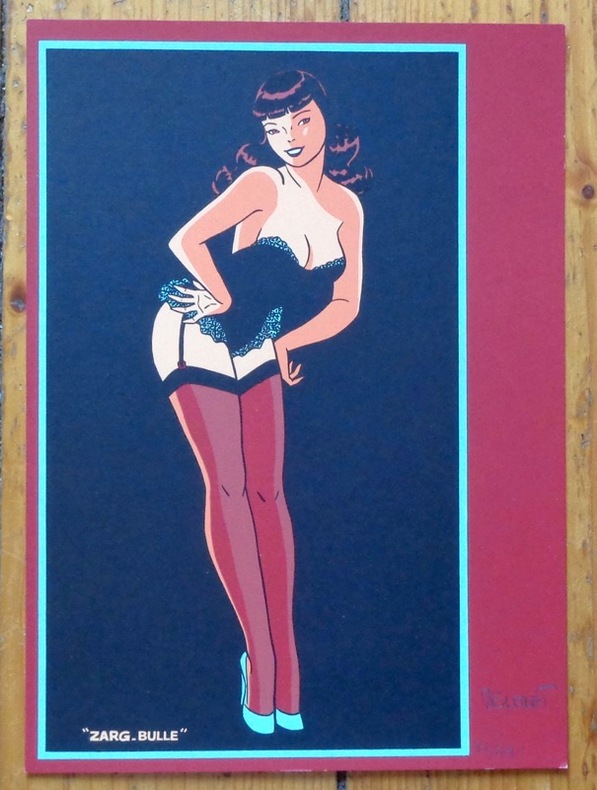
ref. 8460Zarg-bulle. Ex-libris au format 15,5 x 22 cm.
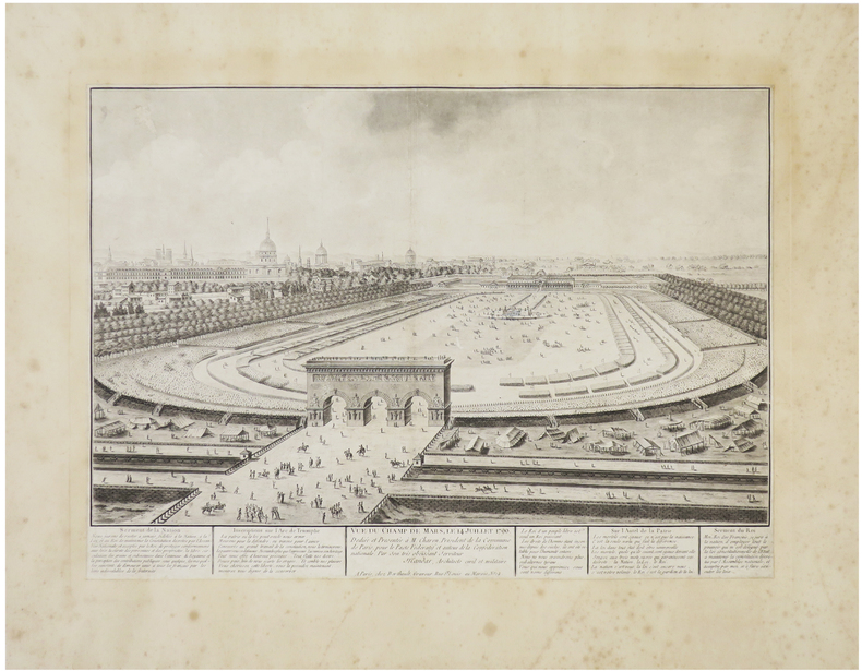
1790ref. LBW-6422Paris, Berthault, [1790]. 310 x 432 mm, coupé au trait d'encadrement et remonté sur papier ancien.
1713Pubblicata per la prima volta nel "Teatro d'Italia" di Pietro Bertelli nel 1599. Questo esemplare è tratto dall'opera Universus terrarum orbis scriptorum calamo delineatus ... qui de Europae, Asiae, Africae, & Americae regnis, provinciis, populis, civitatibus.... pubblicata a Padova nel 1713, presso Matteo Cadorin, da Raffaello Savonarola, sotto lo pseudonimo di Lasor a Varea (o Varela). L'opera era una sorta di enciclopedia che conteneva notizie sulle varie località del mondo disposte in ordine alfabetico, arricchita da mappe e vedute di tutto il mondo che appartengono a celebri raccolte cartografiche del passato – Bertelli, Valegio, Camocio, Bonifacio, Nelli, Magini e altri – del quale probabilmente l’editore Cadorin era in possesso delle matrici originali. Acquaforte, testo latino nella parte superiore, inferiore e sul verso del foglio, dove sono presenti anche tre figure con abiti dell'epoca, in ottimo stato di conservazione. This example is taken from the work Universus terrarum orbis scriptorum calamo delineatus ... qui de Europae, Asiae, Africae, & Americae regnis, provinciis, populis, civitatibus.... published in Padua in 1713, at Matteo Cadorin, by Raffaello Savonarola, under the pseudonym of Lasor a Varea (or Varela). The work was a kind of encyclopedia containing news about the various localities of the world arranged in alphabetical order, enriched with maps and views of the whole world belonging to famous cartographic collections of the past-Bertelli, Valegio, Camocio, Bonifacio, Nelli, Magini, and others-of which the publisher Cadorin probably possessed the original plates. Copper engraving, in excellent condition.
1568Rara pianta archeologica della città, basata sul modello della cosiddetta pianta della guerra di Napoli del 1557 - incisa da Nicolas Beatrizet per l'editore Antonio Lafrery - orientata con il nord a destra. Sono riportate le nuove fortificazioni volute da papa Paolo IV. Dal punto di vista archeologico, date anche le dimensioni ridotte dell’opera, risulta assai sintetica."Si tratta di una frettolosa copia della precedente pianta di Paolo Forlani ed è riconducibile alla tipografia di Ferrando Bertelli. Oltre a comparire in alcune raccolte cinquecentesche di grande formato (Biblioteca Estense e Monaco di Baviera) la pianta si trova infatti inclusa nella raccolta Civitatum aliquot insigniorum et locorum, magis munitorum exacta delineatio: cum additione aliquot insularum principalium, edita da Ferrando Bertelli a Venezia nel 1568" (cfr. B/R p. 2353).Aquaforte e bulino, impressa su carta vergata coeva, con ampi margini, in perfetto stato di conservazione.BibliografiaBifolco - Ronca, Cartografia e Topografia italiana del XVI secolo (2018), p. 2353, tav. 1211; Destombes (1970): n. 201; Meurer (2002): n. 146; Tavernari (2014): n. 141; cfr. Caldana (2013): p. 79; Marigliani (2007): n. 48; Nordenskiöld (1981): n. 12(2); cfr. Valerio (1998): p. 42, n. 2. Rare archaeological map of the city, based on the model of the so-called map of the war of Naples of 1557 - engraved by Nicolas Beatrizet for the publisher Antonio Lafrery - oriented with the north to the right. The new fortifications commissioned by Pope Paul IV are reported. From the archaeological point of view, given the small size of the work, it is very synthetic."It is a copy of the previous map by Paolo Forlani and is referable to the printing house of Ferrando Bertelli. In addition to appearing in some large sixteenth-century collections (Biblioteca Estense and Strabo Atlas of Munich) the map is also included in the collection "Civitatum aliquot insigniorum et locorum, magis munitorum exacta delineatio: cum additione aliquot insularum principalium", published by Ferrando Bertelli in Venice in 1568". (see B/R p. 2353).Etching with engraving, printed on contemporary laid paper, with wide margins, in perfect condition.LiteratureBifolco - Ronca, Cartografia e Topografia italiana del XVI secolo (2018), p. 2353, tav. 1211; Destombes (1970): n. 201; Meurer (2002): n. 146; Tavernari (2014): n. 141; cfr. Caldana (2013): p. 79; Marigliani (2007): n. 48; Nordenskiöld (1981): n. 12(2); cfr. Valerio (1998): p. 42, n. 2. Bifolco - Ronca, Cartografia e Topografia italiana del XVI secolo (2018), p. 2353, tav. 1211.
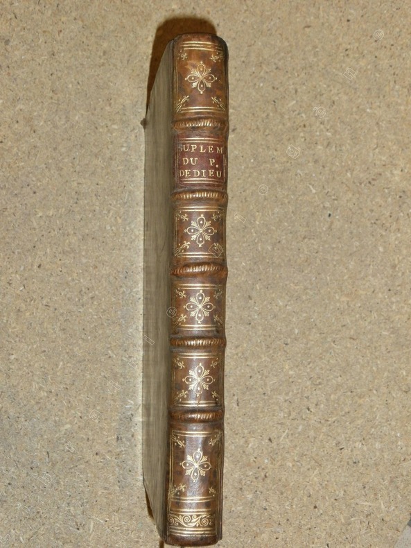
ref. 81583Prault A Paris, Prault, 1734, 1 volume in-4 de 190x255 mm environ, 1 frontispice gravé par Lépicié d'après F. Boucher, X (Titre, Avertissement, Prophéties), 56, XIV, XI, X, XII, 14, XV, VII, VIII, VI, VIII, XX, CLII. Contient 1 frontispice, 2 cartes dépliantes et deux tableaux dépliants. Pleine reliure d'époque tachetée, dos à cinq nerfs portant titres dorés et ornés, triple encadrement à froid sur les plats, roulette dorée sur les coupes, tranches rouges, gardes de papier marbré à la coquille. Légers fendillements sur les mors, coins frottés et enfoncés, quelques traces sur le cuir, sinon bon exemplaire, intérieur frais.
1982ref. 56311982 broché (paperback) in-quarto, dos gris (grey spine), première de couverture ornée d'une reproduction photographique en noir dune carte postale du Port de Nantes de la série Nantes la belle (front cover illustrated), tirage limité (limited edition), illustrations : 500 reproductions de cartes postales anciennes (old post card), 305 pages, 1982 à Nantes Imprimerie L.N.G. pour Les Cartophiles du Pays Nantais,
1924Une feuille 57x45 cm.
1725ref. PHO-2035Amsterdam, Jean Frédéric Bernard, 1725-1732, 2 volumes in-12 (175x105mm), 568pp. & 2ff.-424pp., frontispice au tome 4, brochage d’attente, plats tome 7 détachés, dos cassés, pages cornées, sans les cartes et illustrations.
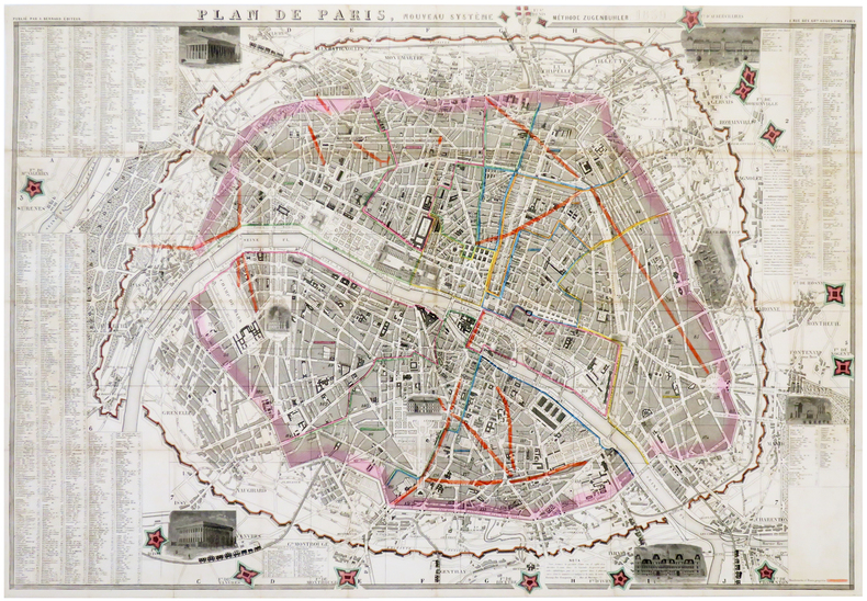
1859ref. LBW-6180Paris, A. Bernard, 1859. En 40 sections jointes formant un plan de 580 x 855 mm.
in-16, 192 pages, broche, couverture illustree. Tres bel exemplaire. [MB]
ref. 20760Paris Flammarion 1969 in 4 (28x20) 1 volume reliure toilée ornée de l'éditeur sous rhodoïd, plat supérieur illustré, 204 pages, avec de nombreuses illustrations en noir et blanc et en couleurs. Eliminations; constructions diverses; constructions de séries simples; constructions de séries avec séries provisoires Bel exemplaire ( Photographies sur demande / We can send pictures of this book on simple request )
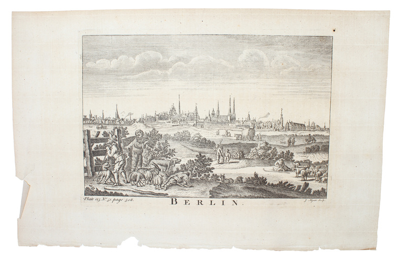
1750Um 1750. (18 x 26 cm.). Engraved view of Berlin. Kupferstich von Berlin. J. Mynde Sculp.
1750ref. 53180Um 1750. (18 x 26 cm.). Engraved view of Berlin. Kupferstich von Berlin. J. Mynde Sculp.
1881ref. PHO-794Gotha, Julius Perthes, 1881 , in-4 , 2-77pp (1) , illustré de 3 cartes dépliantes et en couleurs, relié demi veau époque ,dos lisse avec pièce d’auteur et titre, cachet ,charnières fendues .
ref. 2815Paris, Lib. Larousse, s. d.. 1 vol. in-4 de [2]-310-[2] pages. Demi-chagrin marron, dos lisse orné à froid, plats de percaline verte ornés à froid.
1735ref. PHO-2542 Volumes en 1, grand in 4° (285 x 215 mm) relié plein veau époque, dos à nerfs , titre imprimé en rouge et noir. PREMIERE EDITION SOUS CE TITRE. L'ouvrage, illustré de 8 gravures à mi-page est divisé en 11 parties, toutes relatant des voyages faits en Tartarie et en Chine du XII au XV siècles (voyage de Tudele, de G. de Rubruquis, de Marco Polo,....) Quelques mouillures et feuillets roussis, habiles restaurations (chardenat,1548) (cordier,1941)
1735ref. PHO-1902La Haye, Jean Neaulme, 1735. 2 Volumes en 1, grand in-4° (29x23 cm) relié plein veau époque, dos à nerfs avec pièce de titre, filets aux plats, tranches rouges, dos et coins restaurés, titre imprimé en rouge et noir. Imprimé et paginé sur 2 colonnes.
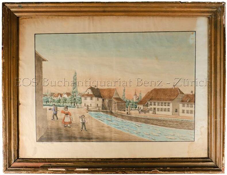
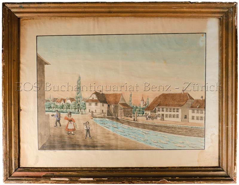
1868ref. 560BG1868. Aqarell. Bildgrösse: 37 x 48 cm. Holzrahmen mit Gebrauchsspuren.
1868ref. 560BG1868. Aqarell. Bildgrösse: 37 x 48 cm. + Wichtig: Für unsere Kunden in der EU erfolgt der Versand alle 14 Tage verzollt ab Deutschland / Postbank-Konto in Deutschland vorhanden +, bild Holzrahmen mit Gebrauchsspuren.
ref. 135841aaf1930 - 1940 in-8vo, Konvolut Tourisme - Schweizerkarten zus., ill. OU.
1942ref. 1251461942 Paris, Librairie Plon - 1942 - In-12 broché, couverture illustrée - 214 pages - Avec 3 cartes dans le texte et 8 gravures hors texte - Feuillets non-coupés (ouvrage jamais lu)
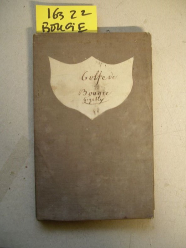
1833ref. 163221833 21 sections montées sur toile et pliées formant une carte de 620 x 905 mm. P. Dépôt général de la Marine 1833
1993Trace of foxing to front edge. No inscriptions or marks. A very clean very tight copy with unmarked black cloth boards and no bumping to corners. Dust jacket not price clipped or torn with slight creasing to upper edge and traces of shelf wear. 244pp. Written very soon after German re-unification, this authoritative guide comprehensively describes the superb cities and towns, the exquisite countryside and the charming villages which had suddenly been re-opened to the rest of the world after being shut away for so long.
2017ref. 500137438Place victoires 2017 64 pages 24 8x26 4x1 4cm. 2017. Relié. 64 pages.