BIANCONI (F.).Livre Rare Book
12.535 resultados
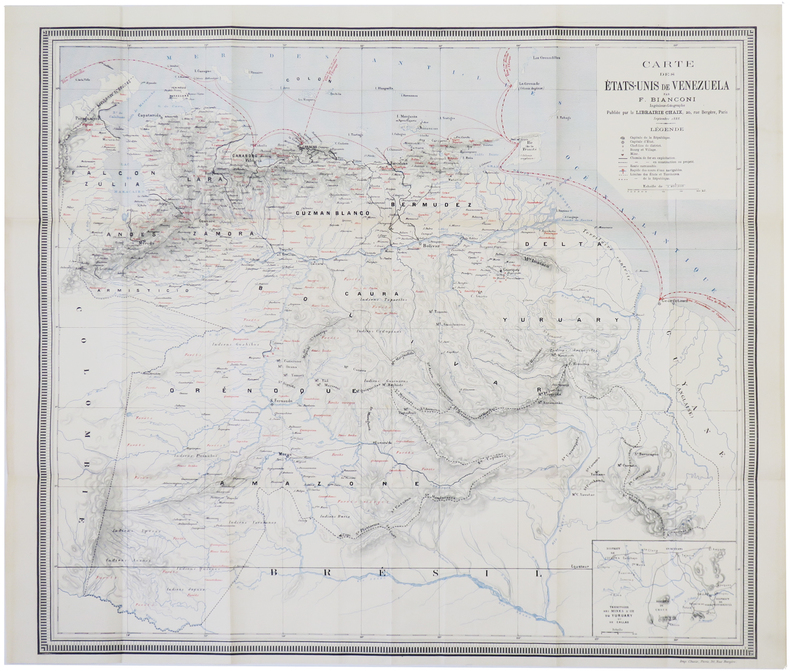
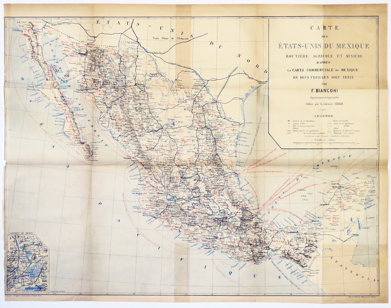
1889ref. LBW-5035[1889]. 460 x 620 mm.
1900ref. LBW-5347Paris, Taride, 1900. 745 x 671 mm, repliée et montée dans une couverture de papier rouge.
1888ref. LBW-5017[1888]. 527 x 602 mm.
1885ref. 10212Paris, A. Hennuyer, bibliothèque ethnologique, 1885. In-8 de XI-304 pages, demi-chagrin marron, dos à 4 nerfs orné de fleurons, encadrement et titre dorés, tranches mouchetées (avec rousseurs).
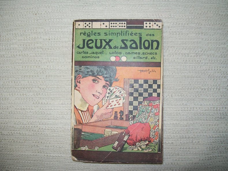
128ref. GITb905Paris Garnier Frères sd (1928). In-16 broché couverture illustrée par Robert Sallès 210pp. Orné de 2 figures dans le texte. Pliure angulaire sur le 1er plat.
ref. DADAX1412846161New unknown
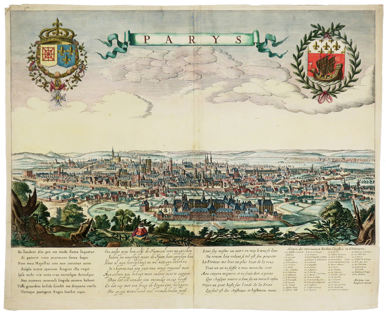
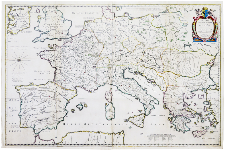
1650ref. LBW-5727[circa 1650]. 406 x 516 mm.
ref. XL872Staffordshire England Melanora 198. Hbk 4to white buckram boards with gilt titles uncirculated ex public reference library some library markings none affecting text this remains a little-used clean and tight working copy Staffordshire, England Melanora 198 hardcover
1980182 pages. Includes the histories of those people who homesteaded or resided within the Favorite and Lyndhurst areas of Morris Municipality No. 312, those within or outside the municipality who had children attending these schools, and also those who were members of Bethel Church and did not reside within the municipality. Clean, bright and unmarked with negligible wear. Chapters include: A History of Bethel Scandinavian Lutheran Church/List of those buried in the Cemetery/Bethel Sunday School/Bethel Ladies Aid; History of Bethel Historical Society; Fifty Years of Favorite History 1913-1963; Lyndhurst S.D. #2583; Social Events of S.W. Curling Club; General Interest Stories; Homestead Information and Maps; Family Histories. Many black and white photographs. Bright gilt lettering and illustration upon maroon front board. Excellent copy. Book
1998A clean, unmarked book with a tight binding. 8 3/4"w x 11 1/4"h. 216 pages. Many b&w photos.
1987Colour map. eng
1941Une feuille 55x77 cm.
2004ref. 32548Paris Puf , Presses Universitaires De France, questions judiciaires 2004 in-8° Préface d'Alain Bauer XIV - 290 pp
1713Pubblicata per la prima volta nel "Teatro d'Italia" di Pietro Bertelli nel 1599. Questo esemplare è tratto dall'opera Universus terrarum orbis scriptorum calamo delineatus ... qui de Europae, Asiae, Africae, & Americae regnis, provinciis, populis, civitatibus.... pubblicata a Padova nel 1713, presso Matteo Cadorin, da Raffaello Savonarola, sotto lo pseudonimo di Lasor a Varea (o Varela). L'opera era una sorta di enciclopedia che conteneva notizie sulle varie località del mondo disposte in ordine alfabetico, arricchita da mappe e vedute di tutto il mondo che appartengono a celebri raccolte cartografiche del passato – Bertelli, Valegio, Camocio, Bonifacio, Nelli, Magini e altri – del quale probabilmente l’editore Cadorin era in possesso delle matrici originali. Acquaforte, testo latino nella parte superiore, inferiore e sul verso del foglio, dove sono presenti anche tre figure con abiti dell'epoca, in ottimo stato di conservazione. This example is taken from the work Universus terrarum orbis scriptorum calamo delineatus ... qui de Europae, Asiae, Africae, & Americae regnis, provinciis, populis, civitatibus.... published in Padua in 1713, at Matteo Cadorin, by Raffaello Savonarola, under the pseudonym of Lasor a Varea (or Varela). The work was a kind of encyclopedia containing news about the various localities of the world arranged in alphabetical order, enriched with maps and views of the whole world belonging to famous cartographic collections of the past-Bertelli, Valegio, Camocio, Bonifacio, Nelli, Magini, and others-of which the publisher Cadorin probably possessed the original plates. Copper engraving, in excellent condition.
1568Rara pianta archeologica della città, basata sul modello della cosiddetta pianta della guerra di Napoli del 1557 - incisa da Nicolas Beatrizet per l'editore Antonio Lafrery - orientata con il nord a destra. Sono riportate le nuove fortificazioni volute da papa Paolo IV. Dal punto di vista archeologico, date anche le dimensioni ridotte dell’opera, risulta assai sintetica."Si tratta di una frettolosa copia della precedente pianta di Paolo Forlani ed è riconducibile alla tipografia di Ferrando Bertelli. Oltre a comparire in alcune raccolte cinquecentesche di grande formato (Biblioteca Estense e Monaco di Baviera) la pianta si trova infatti inclusa nella raccolta Civitatum aliquot insigniorum et locorum, magis munitorum exacta delineatio: cum additione aliquot insularum principalium, edita da Ferrando Bertelli a Venezia nel 1568" (cfr. B/R p. 2353).Aquaforte e bulino, impressa su carta vergata coeva, con ampi margini, in perfetto stato di conservazione.BibliografiaBifolco - Ronca, Cartografia e Topografia italiana del XVI secolo (2018), p. 2353, tav. 1211; Destombes (1970): n. 201; Meurer (2002): n. 146; Tavernari (2014): n. 141; cfr. Caldana (2013): p. 79; Marigliani (2007): n. 48; Nordenskiöld (1981): n. 12(2); cfr. Valerio (1998): p. 42, n. 2. Rare archaeological map of the city, based on the model of the so-called map of the war of Naples of 1557 - engraved by Nicolas Beatrizet for the publisher Antonio Lafrery - oriented with the north to the right. The new fortifications commissioned by Pope Paul IV are reported. From the archaeological point of view, given the small size of the work, it is very synthetic."It is a copy of the previous map by Paolo Forlani and is referable to the printing house of Ferrando Bertelli. In addition to appearing in some large sixteenth-century collections (Biblioteca Estense and Strabo Atlas of Munich) the map is also included in the collection "Civitatum aliquot insigniorum et locorum, magis munitorum exacta delineatio: cum additione aliquot insularum principalium", published by Ferrando Bertelli in Venice in 1568". (see B/R p. 2353).Etching with engraving, printed on contemporary laid paper, with wide margins, in perfect condition.LiteratureBifolco - Ronca, Cartografia e Topografia italiana del XVI secolo (2018), p. 2353, tav. 1211; Destombes (1970): n. 201; Meurer (2002): n. 146; Tavernari (2014): n. 141; cfr. Caldana (2013): p. 79; Marigliani (2007): n. 48; Nordenskiöld (1981): n. 12(2); cfr. Valerio (1998): p. 42, n. 2. Bifolco - Ronca, Cartografia e Topografia italiana del XVI secolo (2018), p. 2353, tav. 1211.
1924Une feuille 57x45 cm.
in-16, 192 pages, broche, couverture illustree. Tres bel exemplaire. [MB]
1750Um 1750. (18 x 26 cm.). Engraved view of Berlin. Kupferstich von Berlin. J. Mynde Sculp.
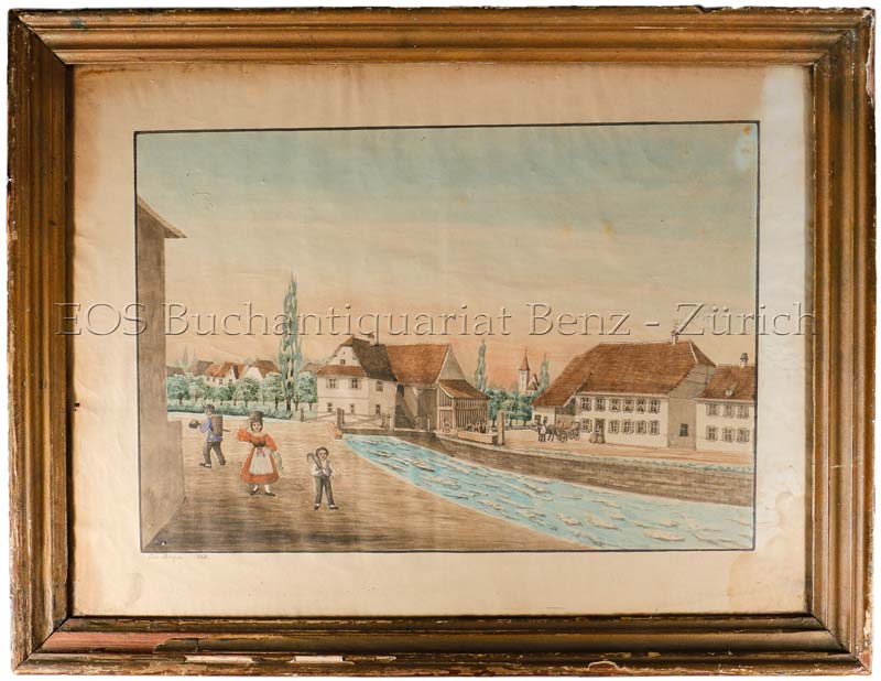
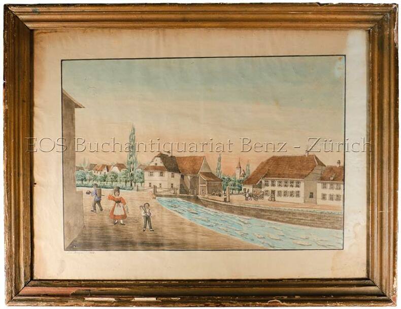
1868ref. 560BG1868. Aqarell. Bildgrösse: 37 x 48 cm. + Wichtig: Für unsere Kunden in der EU erfolgt der Versand alle 14 Tage verzollt ab Deutschland / Postbank-Konto in Deutschland vorhanden +, bild Holzrahmen mit Gebrauchsspuren.
1868ref. 560BG1868. Aqarell. Bildgrösse: 37 x 48 cm. Holzrahmen mit Gebrauchsspuren.
ref. 135841aaf1930 - 1940 in-8vo, Konvolut Tourisme - Schweizerkarten zus., ill. OU.
ref. 20760Paris Flammarion 1969 in 4 (28x20) 1 volume reliure toilée ornée de l'éditeur sous rhodoïd, plat supérieur illustré, 204 pages, avec de nombreuses illustrations en noir et blanc et en couleurs. Eliminations; constructions diverses; constructions de séries simples; constructions de séries avec séries provisoires Bel exemplaire ( Photographies sur demande / We can send pictures of this book on simple request )
1620ref. LBW-5945Paris, [1620]. En quatre feuilles jointes formant une carte de 640 x 975 mm.
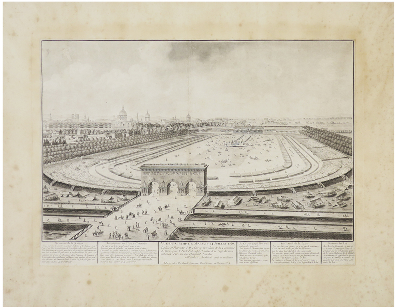
1790ref. LBW-6422Paris, Berthault, [1790]. 310 x 432 mm, coupé au trait d'encadrement et remonté sur papier ancien.
ref. 5663Haut-Zambèze,voyage d’exploration en Afrique et retour par les chutes Victoria,le Matébeleland,Le Transvaal,Natal,Le Cap. In 4 demi-chagrin rouge époquetitre,roulette,filets dorés,filets à froid,faux-titre,portait de l’auteur sur papier de chine contrecollé sur vélin fort,sous serpente,titre avec vignette,331 pages,sur papier couché,nombreuses illustrations photos dans le texte et hors-texte,carte dépliante deux Royaumes de Marutse,(Ba-Rotsi)deux cartes dépliantes Paris Hachette & Cie 1898, très bon état