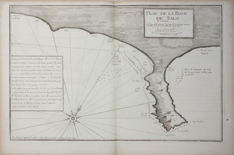
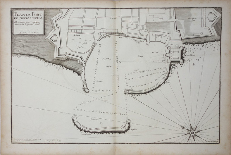
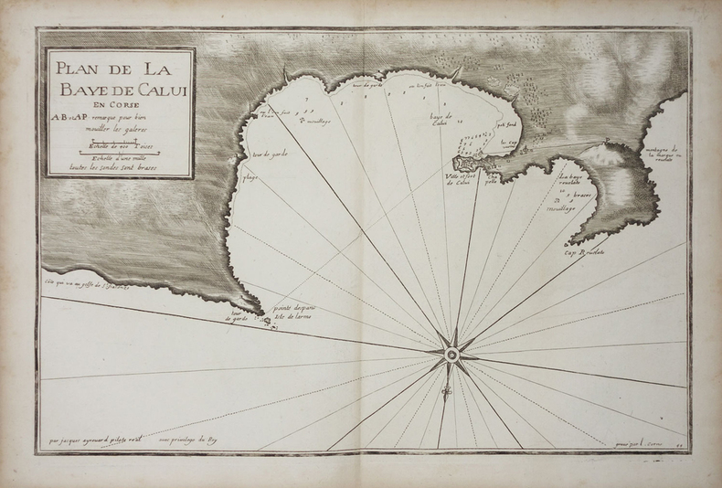
BAEDEKER K.:Livre Rare Book
12.228 resultados
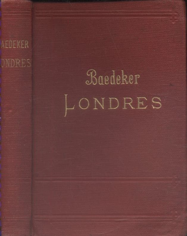
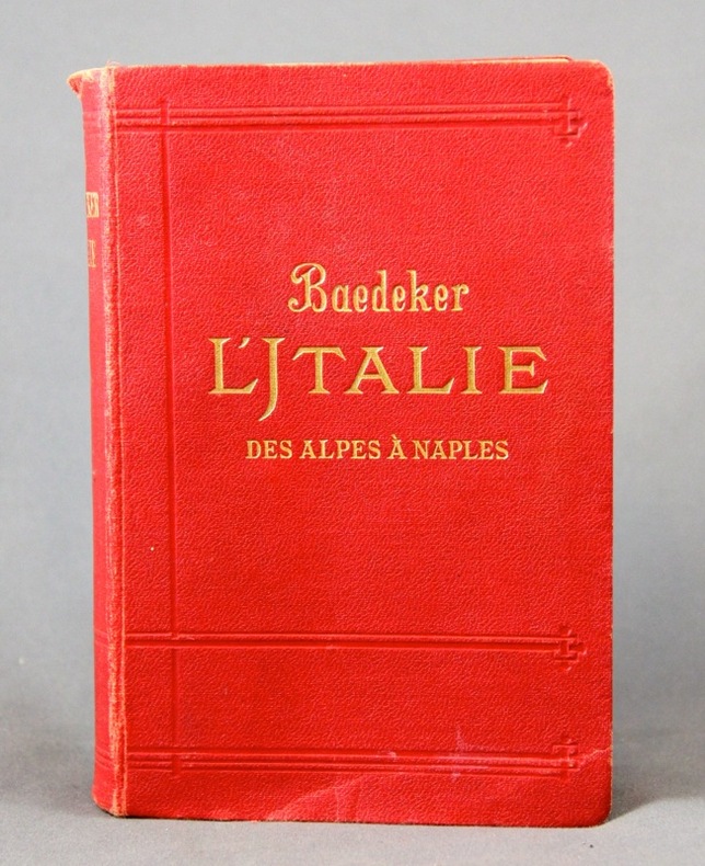
1885ref. 10223Lepzig, Karl Baedeker, 1885. In-12 de XXVIII-504 pages, pleine percaline rouge, titre doré au dos et au premier plat. Mors fendus, reliure tachée et frottée, 1ère charnière faible, petite déchirure sans perte aux premiers feuillets.
1907ref. 133841Couverture rigide. Reliure toile de l'éditeur. 372 pages.
1909ref. 2305Leipzig, Karl Baedeker, 1909. 1 vol. in-8 de XLIV, 455 p. pleine percaline rouge d’éd., dos lisse, orné à froid, tranches marbrées. Petits accrocs aux coiffes.
1912ref. 10247Leipzig, Karl Baedeker, 1912. In-12 de XXVI-682 pages, couverture souple de percaline rouge ornée de filets à froid, titre doré au dos et au premier plat, tranches marbrées. Nom de possesseur au titre.
1887ref. 486270London : Dulau 1887. Second Edition Sixth Edition. Hardcover. Good copies both in the original gilt-blocked red cloth semi-flexible boards now lightly dust-dulled with spines sun-toned and dampstains to Part 1 front board. Contemporary ownership marks to front pastedowns and title pages. Text blocks remain strong and clean on the whole showing only the expected faint scattered foxing; folded matter remains crisp. A well-preserved set overall. Series; Thorough guide series 8-9. Physical description; complete in 2 volumes : maps plans ; 17 cm. Notes; Of this set Part 1 is 2nd ed 1887 Part 2 is 6th ed 1904. Maps and plans by John Bartholomew. Contents; Part 1: Chester Rhyl Llandudno Bangor Llanrwst Bettws-y-Coed Carnarvon Llanberis Beddgelert and Ffestiniog sections. Part 2: Llangollen Bala Dolgelley Barmouth Oswestry Shrewsbury Welshpool Llanidloes Machynlleth and Aberystwith sections. Subjects; Wales North guidebooks 19th century. Thorough guide series travel guides. London : Dulau hardcover
37,5 x 49,5 cm. Blattgröße: 46 x 59 cm. *Schön koloriertes Exemplar mit dekorativen Kartuschen (mit 2 Wappen), - Zeigt die Grafschaften Bentheim und Steinfurt. - Sauber und sehr gut erhalten, breitrandiges Exemplar. Landkarten de
ref. F3-KKRA-KN67Hardcover. Very Good. Jacket is Good with moderate wear and tear book is Very Good with light wear clean yellowed pages firm binding. hardcover
1970ref. 2433190324008Colonial Dames of America 1970-01-01. Hardcover. Very Good. Signed by Author. Nice looking book has minor edge wear. Colonial Dames of America hardcover
1890Folding engraved map printed on fine ivory linen, size: 21 x 28 ins (approx. 53.0 x 71.0 cms) folding in 36 panels to 6 x 3 ins (approx. 15.o x 7.5 cms), printed surface very lightly browned (rather more heavily so along central fold), a few locations marked with red ink ; original green cloth slip-case framed in blind and lettered in black 'Flexible Map of London' with deckled thumb-hole, a very good, bright copy. Covers the area from Islington (north) to Oval (south); Notting Hill (west) to Stepney (east). IN THIS CONDITION A RARE SURVIVAL. Hyde, 'Printed Maps of Victorian London', no. 201.
1860Stampa litografica originale eseguita alla matita, impressa in nero e ocra, dalla bella acquerellatura coeva e con rialzi di vernice à la gomme. Sotto la parte figurata didascalie degli edifici principali della raffigurazione, indicazione dello stampatore e del litografo, nonché titolo in francese e in spagnolo. Al di sopra dell'immagine, titolo della serie di cui il foglio fa parte. Ampia veduta prospettica di Roma, colta dal Pincio, con un'accurata descrizione di Piazza del Popolo in primo piano e con la cupola di San Pietro sull sfondo. La tavola è edita a Parigi da Turgis nel 1860 circa.Charles Claude Bachelier abile artista francese paesaggista e litografo, attivo a Parigi dove espose ai Salons del 1834, 1836 e 1852. Esemplare in ottimo stato conservativo, con bellissima coloritura d'epoca. Original lithograph executed in pencil, engraved in black and ocher, in original colors.Under the image, some captions of the of the main buildings represented; the name of the printer and the lithographer, and title in French and Spanish. On top of the image, the title of the series. Large perspective view of Rome, captured from the Pincio, with an accurate description of the Piazza del Popolo in the foreground, and the St. Peter dome in the background. The plate was published in Paris by Turgis in about 1860.Charles Claude Bachelier, a French landscape artist and litograpgher, active in Paris where he exhibited at the Salons of 1834, 1836 and 1852.Example in very good condition.
1840ref. LBW-6516Paris, Lemiere, [1840]. 460 x 560 mm.
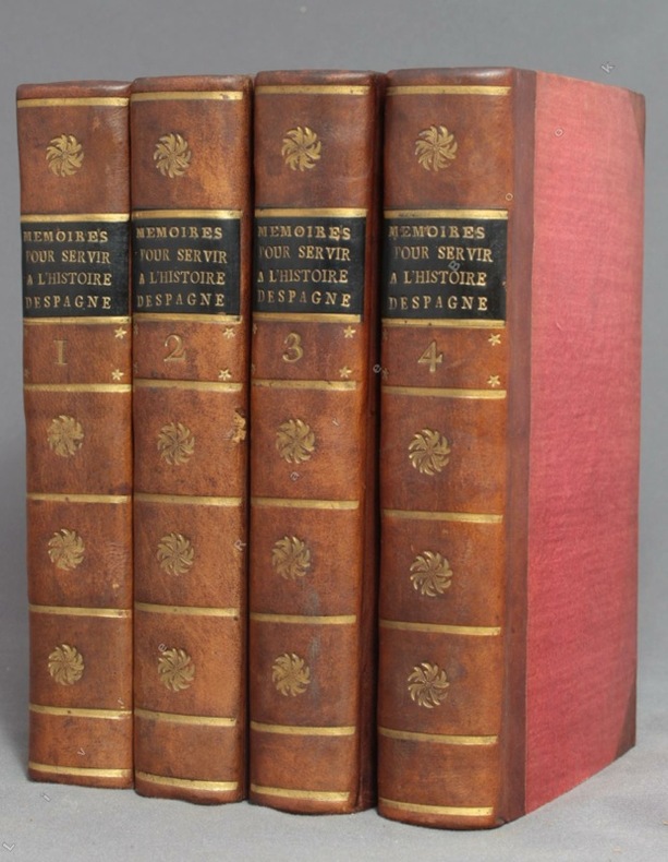
1756ref. 9756A Amsterdam, Chez Zacharie Chatelain, 1756. 4 volumes in-12 de [8]-XXXIV-405; [2]-IV-483; [4]-437 et [4]-495 pages, demi-veau brun à coins, dos lisses ornés de fleurons, filets, étoiles et tomaison dorés, étiquettes de titre noires, tranches jaunes. Tout petit choc au dos du tome 2, rares rousseurs. Le relieur a inversé les faux-titres des volumes 3 et 4.
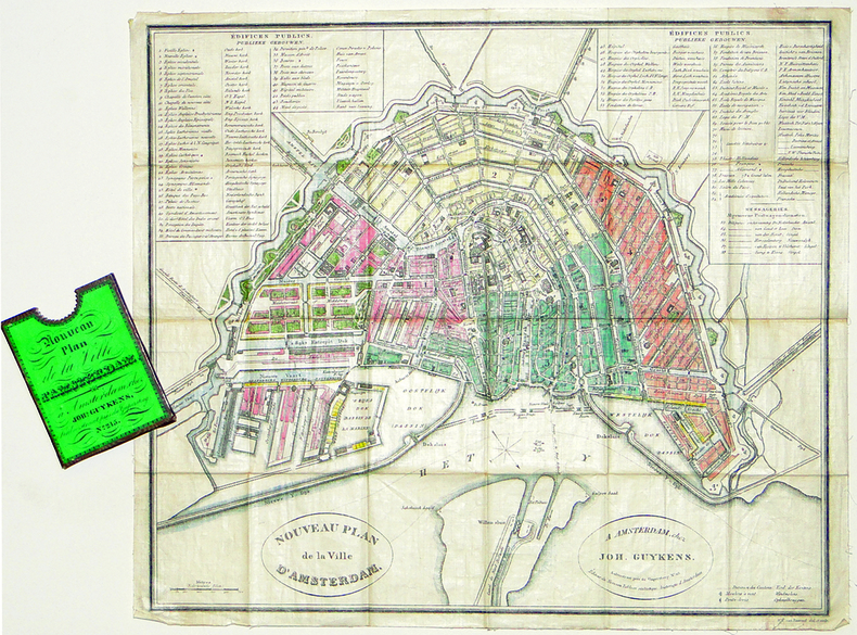
1839ref. LBW-2777Amsterdam, Joh. Guykens, 1839. 335 x 385 mm, imprimé sur soie et replié dans son étui d'éditeur.
198022 pages plus 6 large, detailed fold-out maps. Summary volume of a report entitled 'Corridor and Route Nomination for Vancouver Island Natural Gas System' which described B.C. Hydro's proposed project to provide natural gas service to Vancouver Island residents and industry. Explains the reasons for nomination of a preferred corridor, and preferred route within that corridor, for a natural gas pipeline to and on Vancouver Island. This summary provides basic technical, environmental, and land use information on the routing B.C. Hydro nominated. Contents include: Introduction - Natural Gas for Vancouver Island; Reasons for the Project; Initial Route Studies; Corridor Nomination; Route Nomination; Public Consultation. Maps entitle: Existing Natural Gas Fields and Transmission Lines in B.C.; Major options for Gas Transmission System to Serve Southwestern B.C.; Bathymetry of Georgia Strait and Other Features Affecting Location of Submarine Pipelines; Factors Affecting Corridor Location; Proposed Gas Distribution Areas; Important Environmental Concerns with Nominated Corridor and Route. Unmarked. Very light wear. Excellent copy. Book
1939Very Good Turkish Original TLS document signed 'Aziz Ogan' as 'the general director of Istanbul Archaeological Museums'. 32,5x21 cm. In Turkish. 1 p. Full. Typescript document with autograph corrections and signature. Including request of the photographs of listed 25 Seljuk and Ottoman architectural buildings such as mosques, fountains, hans, tombs etc. Dated 12-9-1939. Addressed to Nuri [Ebussuudoglu from the member board of the Turkish Antiquities Protection Council. Letterhead 'TC Istanbul Müzeleri Genel Direktörlügü' [i.e. The General Directory of Istanbul Museums]. Ogan was a Turkish archaeologist and museologist. He was the one of the earliest archaeologists of the Turkish Republic. He founded Izmir Archeology Museum and was the director of Istanbul Archeology Museums. He is the father of the first Turkish female archaeologist Jale Inan.
1690Rarissima veduta panoramica della città da Monte Mario, edita a Francoforte da Johann Azelt verso la fine del XVII secolo. "In questa stampa gli edifici sono ben poco riconoscibili ed il Tevere segue un errato percorso sotto Trinità dei Monti, riproponendo un errore comune a molti panorami di quest'epoca editi nel nord Europa ed evidentemente copiati uno dall'altro.. Il prototipo iniziale per questa tipologia di panorami è identificabile nel panorama inciso da Israel Silvestre nel 1642" (cfr. Marigliani p. 199). Incisione in rame, in perfetto stato di conservazione. Rarissima. A very rare panoramic view of the city from Monte Mario, published in Frankfurt by Johann Azelt towards the end of the 17th century. In this print the buildings are hardly recognisable and the Tiber follows a wrong path under Trinità dei Monti, repeating an error common to many panoramas of this period published in northern Europe and evidently copied from one another. The initial prototype for this type of panorama can be identified in the panorama engraved by Israel Silvestre in 1642"(cf. Marigliani p. 199). Copper engraving, in perfect condition. Very rare. Marigliani, "Le Piante di Roma nelle collezioni private" p. 199, 104 (erroneamente attibuita).
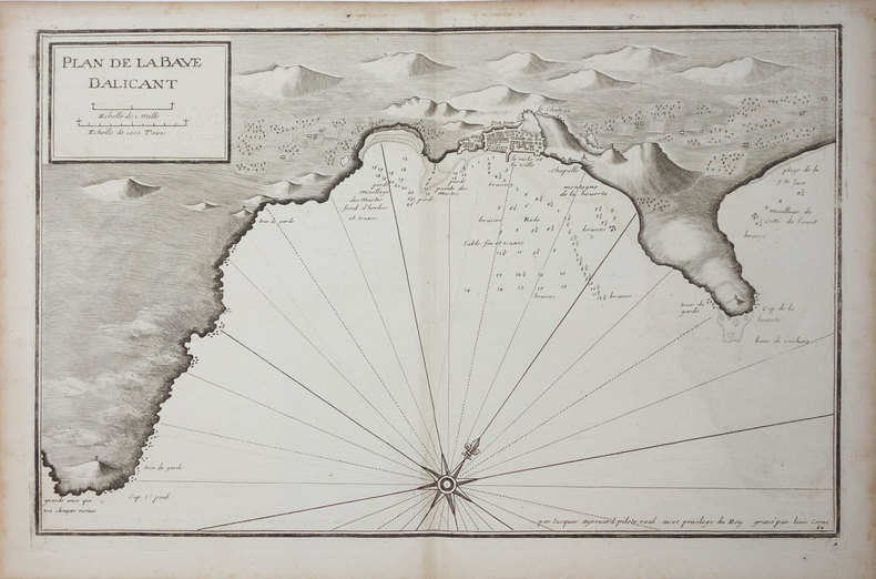
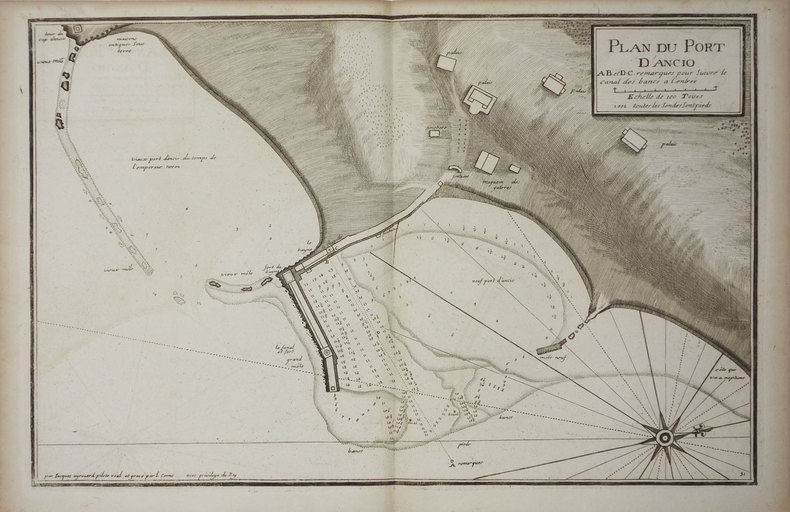
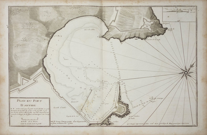
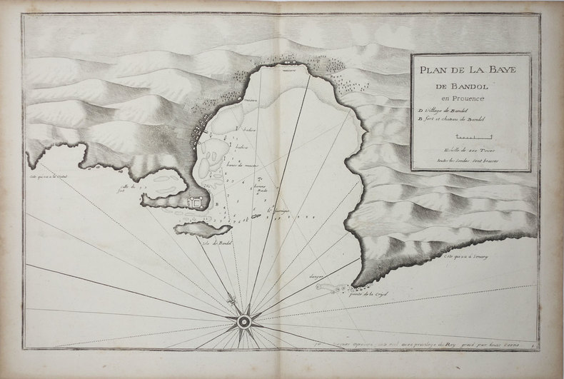
ref. LBW024fc[circa 1730]. 291 x 454 mm.
ref. LBW0029d[circa 1730]. 298 x 456 mm.
ref. LBW-3328[circa 1730]. 297 x 452 mm.
ref. LBW004e7[circa 1730]. 297 x 455 mm.
ref. LBW024ee[circa 1730]. 290 x 447 mm.
ref. LBW024ef[circa 1730]. 285 x 442 mm.
ref. LBW0027e[circa 1730]. 290 x 456 mm.
ref. LBW002c0[circa 1730]. 287 x 450 mm.
1735ref. LBW-3329[circa 1730]. 298 x 456 mm.