BALBI, Adriano y MALTE - BRUN, Conrad.MareMagnum

12.365 resultados
Madrid-Barcelona, Librería de Locadio López-Librería de Juan Llordachs, 1879. 4to. mayor; 2 hs. y 17 mapas dobles coloreados. Pérdida de la mitad del mapa de América Latina. Encuadernación en tela estampada.
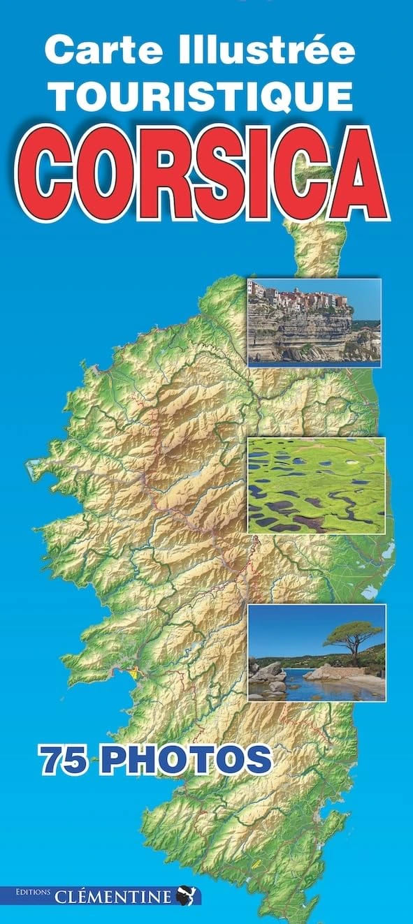
2019ref. 500394053CLEMENTINE 2019 1 pages 1x25x11cm. 2019. map. 1 pages.
1911ref. 9929Paris, Augustin Challamel, 1911. Petit in-8 de 187 pages, pleine percaline bleue, fleuron, filets et titre au dos, couvertures conservées.
1975ref. 38906Kbhvn., Den danske Landinspektørforening, 1975. Orig. halvlæder. 333 s. Illustr. + Mappe i folioformat med 14 farvereproduktioner.
1920ref. AUB-8993Neuchâtel, Attinger Frères, éd. s.d. (vers 1920). Bon exemplaire broché, couverture usagée, intérieur frais, gd in-8, 144 pages.
1988No inscriptions or marks. A lovely clean crisp very tight copy with bright unmarked boards and no bumping to corners. Dust jacket not price clipped or torn with faint creasing to some edges. 119pp. This fully revised fifth edition details all operational railways - British Rail, London Transport, Tyne & Wear Metro, Irish rail, Northern Ireland Railways and the numerous independant preserved/tourist railways and tramways, standard gauge and narrow gauge.
1875ref. 11380Paris, Hachette, 1875. Grand in-8 de [6]-III-439 pages, demi-chagrin rouge, dos à 5 nerfs ornés de filets, fleurons, encadrements et titre dorés, plats de percaline, tranches dorées.
2002No inscriptions or marks. No creasing to covers or to spine. A lovely clean crisp very tight copy with bright unmarked boards and no bumping to corners. Appears unread and unused. 478pp. Eighth edition. plus maps.
1728ref. LBW-6525Paris, Sr. Baillieul, 1728. 675 x 631 mm.
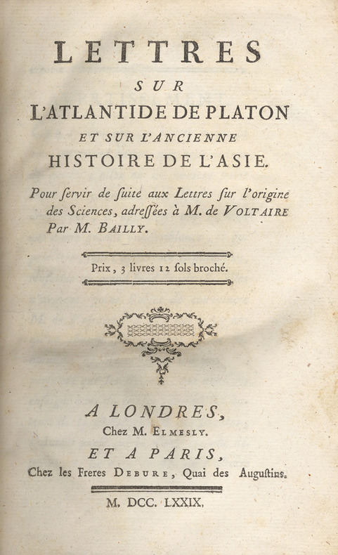
1779ref. 17625Londres, chez M. Elmesly et Paris, Debure, 1779 ; in-8, demi veau marbré, dos à nerfs décoré et doré, titre doré, tranches rouges (reliure de l'époque) ; (4), 480 pp. , carte dépliante de l'Europe, Asie et l'Afrique du Nord, gravée sur cuivre par De la Gardette.
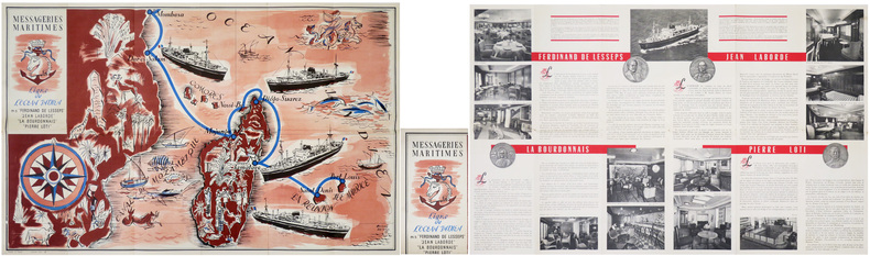
1953ref. LBW-8835Paris, Messageries Maritimes, [1953]. 571 x 895 mm marges comprises ; replié 285 x 147 mm.
1953ref. LBW-8871Paris, Messageries Maritimes, [1953]. 569 x 895 mm marges comprises ; replié 285 x 150 mm.
ref. 86403Milan, Portraits Scènes et Petits Métiers, 1989, 131 p., cartonnage éditeur oblong, bon état.
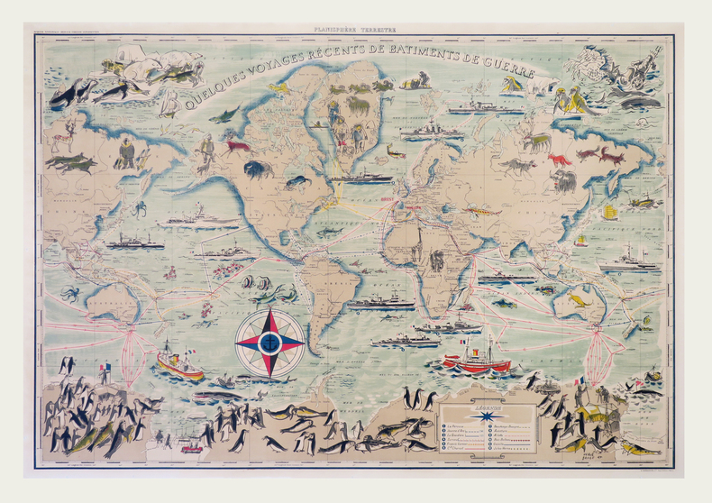
1955ref. LBW-7920Paris, G. Barbarin et Cie, [circa 1955]. 695 x 990 mm, monté sur toile.
1930ref. AUB-6009Association des stations balnéaires suisses ... s.d. (vers 1930). Bel exemplaire broché, couverture ornée d'éd., gd in-8, 66 pages.
1988ref. 27529Toulouse Milan 1988 Grand In-8 Oblong 131 pp. Nombreuses illustrations N&B in-texte
1746ref. LBW-570Dijon, F. Desventes, 1746. 438 x 613 mm.
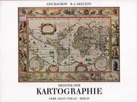
ref. 52158Berlin Gebr. Mann 1994. . Von den Karten primitiver Völker bis ins 18. Jhdt. Mit Erläuterungen zu den Abbildungen von Heinrich Winter Anmerkungen Verzeichnis der abgebildeten Karten Verzeichnis der Kartographen u. ihrer Werke Literaturverzeichnis u. Sachregister mit ca. 1500 Stichworten. - Gutes sauberes Exempöar Berlin, Gebr. Mann, (1994). unknown
2019ref. 2-234315578XEditions L'Harmattan 2019. Paperback. New. 280 pages. French language. 8.46x5.31x0.70 inches. Editions L'Harmattan paperback
1987No marks or inscriptions. No creasing to covers or to spine. A very clean very tight copy with bright unmarked boards and no bumping to corners. 104pp. Guide for visitors to Germany. How to understand the street/road signs.
1889pp. xxxiv, 386 + Plus 36 folding maps and 22 plans. All edges marbled. 16mo. Original full flexible rose cloth binding, gold lettered. TRAVEL/3
1903pp. LXVI, 489 + 40 p. Phrase Book ["Danisch-Norwegische und Schwedische Sprachlehre zum Reisegebrauch"] + Plus 37 Maps and 22 Plans, mostly in color. Some light damp staining. Some maps trimmed close, loose or carelessly folded, with slight tears. All edges marbled. 16mo. 160 mm. Original full flexible rose cloth binding, gilt lettered. Name on title page. Overall, a good copy. TRAVEL/3
2004Neat name/date to front end paper. No other marks or inscriptions. A very clean very tight copy with bright unmarked boards and no bumping to corners. Dust jacket not price clipped or torn or creased with very tiny spot mark to rear. Large fold-out map at front in excellent condition. 609pp. Facsimile edition of the Baedeker guide of 1890 with seventy-two tours to guide the traveller from the Scilly Isles to Shetland at the the end of the 19th century with advice on money, travel, hotels etc , coloured maps, street plans and a large double-sided fold-out map of the entire railway network.
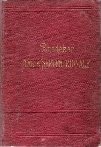
1895Reliure en percaline bordeaux , frappée en creux en lettres dorées . Tranches jaspées . Collection " Guides Baedeker " . 14ème édition avec 24 cartes et 27 plans de villes , 23 plans en couleurs . Une introduction donne un aperçu des uses et coutumes du pays , des mesures d'hygiène , des transports , et présente les arts en Italie . Les cartes et plans dont certains dépliants sont en très bon état . ( Pour les autres guides de cette collection taper l'éditeur en mot clé ) . - 478 p. , 550 gr.
1895ref. 015238Leipzig / Paris Karl Baedeker 1895 In 16 Reliure en percaline bordeaux , frappée en creux en lettres dorées . Tranches jaspées . Collection " Guides Baedeker " . 14ème édition avec 24 cartes et 27 plans de villes , 23 plans en couleurs . Une introduction donne un aperçu des uses et coutumes du pays , des mesures d'hygiène , des transports , et présente les arts en Italie . Les cartes et plans dont certains dépliants sont en très bon état . ( Pour les autres guides de cette collection taper l'éditeur en mot clé ) . - 478 p. , 550 gr.