ASSELINEAU (Léon-Auguste);Livre Rare Book

12.201 resultados
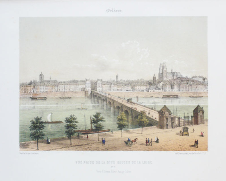
1855ref. LBW-870Paris F. Sinnett circa 1855 232 x 275 mm.
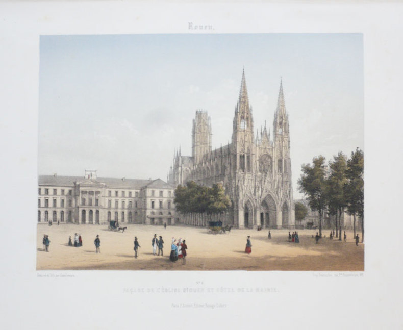
1855ref. LBW-888Paris F. Sinnett circa 1855 242 x 275 mm.
1855ref. LBW-890Paris F. Sinnett circa 1855 242 x 276 mm.
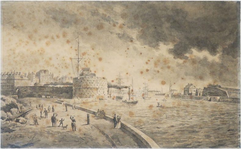
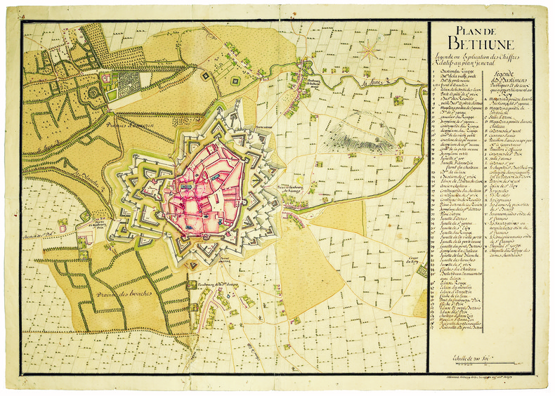
1860ref. LBW-8819[1860]. 375 x 610 mm, monté sur carton fort.
1855ref. LBW-889Paris, F. Sinnett, [circa 1855]. 242 x 276 mm.
ref. T87-ODE-3EPHardcover. Very good. Imperial War Museum in association with The Battery Press 1992 V1. 380 pages V2. 517 pages red cloth hard covers with gold spine stamping no owner's mark or underlining tight and square very light wear. hardcover
1933pp. ix, 91 + Large folding geological map. Illustrated with numerous maps and photographs. Tall 8vo. Original printed wraps. Inked ownership and stamp of O. F. Stambaugh, Department of Chemistry, Elizabethtown College on front cover. Spine sightly worn. Pennsylvania Geological Survey Fourth Series Bulletin G 6. PA PAMPH 20_10 BX3
1921FIRST EDITION, TWO VOLUMES BOUND TOGETHER. This is a detailed survey of the city of Jerusalem during the start of the British Mandate in Palestine. Includes a large number of drawings, photographs, schematics and fold-out maps of the city, accompanied by essays in English and French. Editor Charles Ashbee was an architect, and paid close attention to the many religious edifices in the city. 285x230mm, XV+87+XVI+109 pages (only text pages are numbered). Brown Quarter-leather hardcover with large black illustration on front board. [CONDITION:] Cover edges and corners worn. Cover boards slightly dirty. Previous owner's inscription in Hebrew (dated 1969) on front endpaper. Some pages slightly age-stained. [SUMMARY:] This tandem-bound copy of a fascinating collection of textual and visual information is overall in very good internal condition; good external condition.
1996In this study of the fateful encounters between Europe and Asia on the shores of a legendary sea, Neal Ascherson explores the disputed meaning of community, nationhood, history, and culture in a region famous for its dramatic conflicts. What makes the Back Sea cultures distinctive...is the way their component parts came together over the millennia to shape unique communities, languages, religions, and trade. 306. map. bibliography, index. Book
1889Vintage color map. Includes table of cities located in the Inter-Colonial, Eastern, Central, Mountain, and Pacific Standard Time Zones. Indicates how many minutes faster or slower these locations are than Solar Time. Outer dimensions: 10.75" x 14.5". Unmarked with moderate wear and soiling. Book
1889Vintage color map. Includes illustrations of comparative planet sizes, neap tides, spring tides, lunar eclipse and solar eclipse. Outer dimensions: 10.75" x 14.5". Unmarked with Light wear. Book
192933" x 25" coloured map. "Showing Dominion Lands Vacant. For complete information and regulations governing homestead entry apply to agent at Peace River..." Coal mines, water developed, other minerals, undeveloped minerals, oil and gas wells, power transmission lines and main roads indicated. Unmarked with moderate wear. A quality copy of this excellent homesteading memento of the Peace River/Grande-Prairie District. Book
1989Book is in excellent condition, with one crease at spineas only blemish to exterior. Binding is solid and square, covers have sharp corners, exterior shows no blemishes, text/interior is clean and free of marking of any kind. 433 pages with color photo section. Previous owner's name inside.
ref. 36731Paris, Editions Fleurus, 1984. 15 x 16, 60 pp., photos en couleurs, nombreux dessins, broché, bon état.
1727ref. LBW-41361727/1728. En deux feuilles jointes de 485 x 703 mm.
1840ref. 163261840 12 sections montées sur toile et pliées, formant une carte de 520 x 590 mm., Vienna Artaria ca. 1840
1958ref. AUB-5610Paris, Braun & Cie 1958. Bel exemplaire relié, reliure pleine toile, fort in-4, jaquette conservée, 88 pages + planches.
1979ref. AUB-3938Paris, éd. Réunion des Musées Nationaux 1979. Bel exemplaire broché, couverture ornée d'éd., in-4, 223 pages avec annexes.
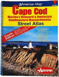
2006ref. 81813aaspArrow Map 2006. 4th. spiral_bound. Good. 10x0x13. Fourth Edition 2006 with a yellow red and blue cover. Wire coil binding. Pages unmarked; mild usage wear. Arrow Map unknown
ref. 47935Paris, Fayard 1937, 230x140mm, 524pages, broché. Bon état.
1937ref. 15711937 broché (paperback) grand in-octavo, dos blanc (white spine), première de couverture verte illustrée (front cover illustrated) quatrième de couverture ornée d'une petite illustration en cul-de-lampe (back cover illuminated with small illustration in tailpiece), tranches non rognées (edges no smoothes), illustrations : figures in texte (pictures in text), 524 pages, 1937 à Paris Librairie Arthème Fayard,
ref. 27344P., Fayard, 1937, in 8° broché, 524 pages ; des passages soulignés au crayon ; couverture illustrée en couleurs (légèrement fanée).
ref. 5206Paris, Libr. Arthème Fayard, 1937 – in-8, 524 pp. – broché, couv. verte.
1846ref. LBW-7400Paris, Jeannin, Londres, Gambart, Junin & Co., 1846. 327 x 444 mm.
ref. LBW061e5Paris circa 1850 150 x 221 mm.