11.756 resultados
ref. 200916111Strasbourg, DIFAL, 1991 ; in-4, 126 pp., cartonnage d'éditeur avec jaquette (neuf sous blister). De Kintzheim àà Cleebourg (tome 2) texte bilingue.
ref. 200916110Strasbourg, DIFAL, 1991 ; in-4, 126 pp., cartonnage d'éditeur avec jaquette (neuf sous blister). De Kintzheim àà Cleebourg (tome 2) texte bilingue.
ref. 200916109Strasbourg, DIFAL, 1991 ; in-4, 126 pp., cartonnage d'éditeur avec jaquette (neuf sous blister). De Kintzheim àà Cleebourg (tome 2) texte bilingue.
ref. 200916108Strasbourg, DIFAL, 1991 ; in-4, 126 pp., cartonnage d'éditeur avec jaquette (neuf sous blister). De Kintzheim àà Cleebourg (tome 2) texte bilingue.
ref. 200916107Strasbourg, DIFAL, 1991 ; in-4, 126 pp., cartonnage d'éditeur avec jaquette (neuf sous blister). De Kintzheim àà Cleebourg (tome 2) texte bilingue.
ref. 200916105Strasbourg, DIFAL, 1991 ; in-4, 126 pp., cartonnage d'éditeur avec jaquette (neuf). De Kintzheim àà Cleebourg (tome 2) texte bilingue.
1925ref. 19045Paris, Etablissements Nicolas, 1925-1927. 4 volumes in-8, reliés en 3 volumes, demi-toile lie-de-vin, pièces de titre verte, couvertures conservées; têtes grises.
1890Originalfotografie auf strukturiertem Papier. 315:570 mm. Hinter Glas gerahmt. Rahmen mit Originaletikett des Wiener Rahmenmachers Heinrich Klingseis in der Gumpendorferstraße.
ref. 13975462Paris: Ledoyen, 1839 in-12, 2 ff. n.c., 136 pages. Demi rel veau glacé, dos avec usutes autrement bon état. EDITION ORIGINALE.
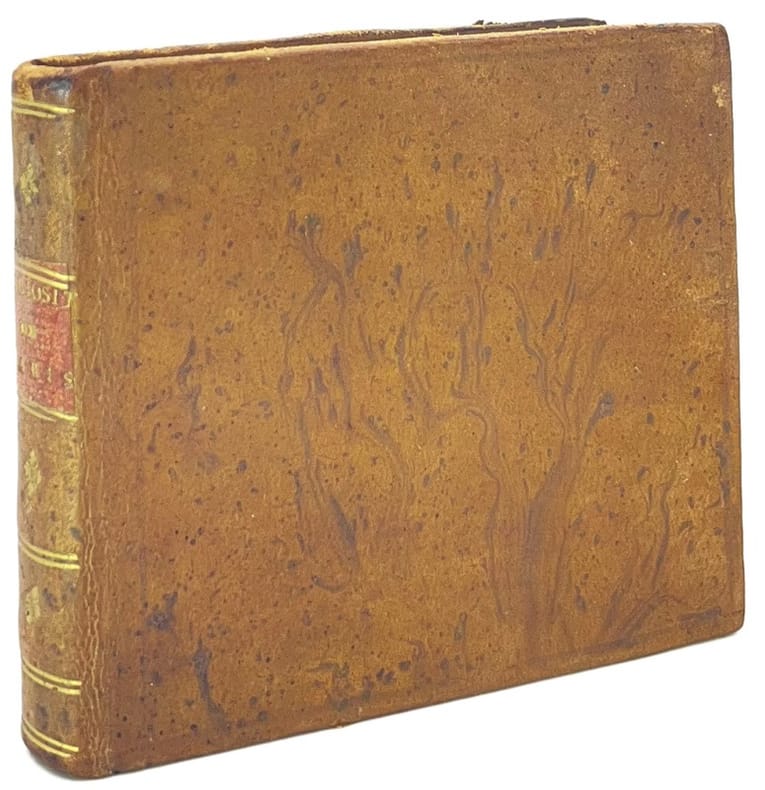
1815ref. 44723Paris, H. Vauquelin, s.d., (1815). In-16 oblong de (190) pp., 1 plan colorié replié (29 x 22 cm) basane havane marbrée, dos lisse orné, pièce de titre rouge (reliure de l'époque).
ref. ORD-10546Carte postale sans nom d'éditeur. Beau plan, très animé, 9 personnes dont l'opérateur et un personnage en uniforme qui semble prendre des notes. Avant 1914. Carte postale (137 x 90mm), écrite au verso, non timbrée. Bel exemplaire.
7 colour printed maps. Scale 1:50,000 and 1:1,000,000. In English and Arabic. Folded. First edition. A set of exceedingly rare UAE topographic maps, compiled from 1:30,000 scale aerial photography taken during 1986 and 1987, presumably based on UK versions. The maps show international boundaries, tracks and paths, bridges, historical landmarks, schools, tree and date plantations, mangroves, oil and gas injection wells, mosques and cemeteries, emergency telephones, water pipelines and tanks, cliffs and rocky areas, as well as other details encountered in the vast desert. Occasionally the average relative height of the dunes is given, reaching up to 45 metres at certain points. - The 6 maps of the 1:50,000 series are sheets number NF-40-01-14, NF-40-01-22, NF-40-01-34, and NF-40-02-11, as well as NG-40-13-54, and NG-40-13-63. The maps of this series "were used extensively for UTM [Universal Transverse Mercator projection coordinate system] Zone 39 rectification. These maps have a local UAE national grid which is equivalent to the UTM grid if a bias of 2,150,000 m in the y-dimension and 150,000 m in the x-dimension are added" (Jensen). The single map of the 1:100,000 series, dating from 1992, is sheet number NG-40-136. - Some pencil marks and circles. The 1:50,000 scaled maps have a stamped six-digit number and a round stamp in Arabic type on the reverse; the 1:100,000 scaled map has a square stamp in Arabic type on the reverse. A few small tears and creases; occasional adhesive tape; paper variously pierced. No copies traceable in libraries internationally. Jensen [et al.], Coastal Environmental Sensitivity Mapping for Oil Spills in the United Arab Emirates [...] 8.
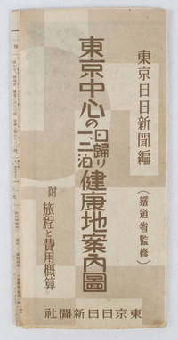
1419ref. 163423東京日日新聞社. Showa 14 19391939. Title on map :東京中心の健康地案内鳥瞰圖. Tōkyō chūshin no kenkōchi annai chōkanzu. Colour map of region around Tokyo with inset map in lower right corner. Few closed tears along central fold larger tear repaired small holes at folds a little light browning. Measures 19.5 cm x 9.5 cm when folded and 38.7 cm x 54 cm when open. Bird's eye view map of the region around Tokyo showing places where the residents of the city can go for healthy one two or three day trips. The map published by the Tokyo Nichi Nichi Newspaper in 1939 highlights hot springs golf courses beaches parks fishing areas mountains shrines and ski areas. The mark ハ indicates hiking courses. On the reverse side the distance to each resort area the way to get there and the costs are detailed. Users of the map area are warned that the areas circled in red around the mouth of Tokyo Bay is a military area where photos cannot be taken without permission. Even with the rising tides of war in 1939 city people were clearly still looking for ways to escape the noise and dust of the city for health-giving recreation. . 東京日日新聞社. unknown
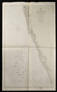
1937ref. 65133Washington. D.C.: U.S. Navy Hydrographic Office. 10th edition. 1937. Two charts black and white folded as issued. #1589: sheet measures approx. 89 x 118cm #1590: 127 x 76cm little creased at upper edge. Very good. A great length of the coast is here charted with much detail marked along the coast including rivers towns and the topography. The charts mark soundings in fathoms or feet and various natural and man-made features of the coastal area. Both are stamped "Corrected Through Notice to Mariners Feb. 17 1951". . U.S. Navy Hydrographic Office. unknown
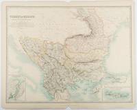
1893ref. 177055Edinburgh & London.: W. & A. K. Johnston. 1893. Engraved map with original outline hand-colour 44 x 57.4 cm map two inset maps of the Bosphorus and Crete; central fold corners chipped with loss lower edge with several small marginal tears neatly repaired head and foot clipped at the fold with loss to the margin but the map in very good condition. Detailed and finely engraved map also showing submarine telegraph lines and relief by hachures. Re-issue of the map first published in 1863 for "Keith Johnston's Royal Atlas of Modern Geography". . W. & A. K. Johnston unknown
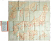
1927ref. 215711Tokyo.: Japanese Government Railways. Circa1927. Large folding colour map 78.5 x 80 cm of Japan and Korea 6 inset maps one of which shows Taiwan scale 1:1640000 for Hondo Shikoku and Kyushu 1:2340000 for Chosen; tipped into the original orange cloth covered case with orange ties text in 31 panels on the verso one a little age-toned a few very small fold splits without loss a very good copy. Attractive tourist map for the English-speaking traveller issued by the Japanese Government Railways with extensive notes for tours and points of interest on the verso short descriptions of cities and sites to visit principal theatres with suggestions for cafes restaurants and department stores. . Japanese Government Railways. hardcover
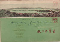
1962ref. 160933杭州.Hangzhou.: 浙江人民出版社.Zhejiang renmin chu ban she. 2nd Edition 3rd Printing. 1962. Folding colour tourist brochure for Hangzhou. One side shows large map of Hangzhou the other 5 more detailed maps chops and previous owner's annotations upper cover small hole at one fold some light wear and browning good. Text in both traditional and simplified Chinese. Sheet size 53.9 x 38.3cm folded size 13.5 x 19.2cm. One side includes a legend an inset showing tourist spots surrounding Hangzhou a table shows lists of Hangzhou's hospitality industry e.g. hotels cinemas swimming pools restaurants department stores etc. The other side includes five individual tourist maps: Viewing Fish at Flower Pond 花港觀魚 Lingyin Temple 靈隱 Hangzhou Bus Map 杭州市公交路线图 Lonely Mountain 孤山 Dreaming of the Tiger Spring 虎跑. . 浙江人民出版社.[Zhejiang renmin chu ban she]. unknown
ref. 218540Toulon, Rumèbe, s.d. (c. 1860) 48 x 56, replié au format in-12, sous couverture imprimée. Déchirure à la couverture.
1957ref. 16628La Chaux-de-Fonds, Courvoisier, 1957. Ravissante petite plaquette de 4 pages et 2 serpentes, brochée sur cordon et au coeur de laquelle se nichent 4 timbres (non obliétérés) de 1957.
2005ref. LFA01804Revue mensuelle concernant la philatélie : environ 110 pages en couleurs, format 300 x 210 mm, illustrée, brochée couverture couleurs + fiches détachables
ref. LFA01da2Revue mensuelle concernant la philatélie : environ 110 pages en couleurs, format 300 x 210 mm, illustrée, brochée couverture couleurs + fiches détachables
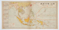
1572ref. 160545No place of publication.: 朝日新聞社. The Asahi Shimbun. 昭和十五1940. Published by 朝日新聞社 The Asahi Shimbun Japanese folding coloured WWII map with a calendar from January to June Shōwa 15 at the left scale 1:300000. Map includes French Indochina Dutch East Indies and parts of the territory of Papua China and British India. Some light browning and foxing otherwise very good. Text in Japanese. 25.3 x 51cm. Legend at lower left lists the boundaries between continents countries and provincials or regions railways airline routes capitals and Japanese embassies and consulates. The natural resources are indicated across the map. The map also shows parts of the territory of Papua under Australia's administration " 濠洲委任統治領 Gōshū inin tōchiryō". . 朝日新聞社. [The Asahi Shimbun]. unknown
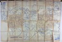
1980ref. 3562N.p. probably Brownsville Tx 1980. Very good. Blue-line map 42 x 62 inches. Uneven toning minor overall wear. A large-format plat map of the Texas border town of Brownsville likely created in the early 1980s. The date is based on the appearance of the Sunrise Mall which opened its doors in 1979 and the name of the airport which was changed in 1983; as such the present map was printed sometime between those two dates. The present map shows the original city parcel as well as many other notable modern developments including the Airport Industrial Park the Fourteenth Street Commercial Plaza and the Amigoland Theme Park the latter of which was never built. The Rio Grande can be seen winding its way through the bottom portion of the map. We locate no other copies of this map anywhere. It was likely produced for local developers and as such is quite rare. An ideal decorative Texas map. unknown books
1980ref. 3562N.p. probably Brownsville Tx 1980. Very good. Blue-line map 42 x 62 inches. Uneven toning minor overall wear. A large-format plat map of the Texas border town of Brownsville likely created in the early 1980s. The date is based on the appearance of the Sunrise Mall which opened its doors in 1979 and the name of the airport which was changed in 1983; as such the present map was printed sometime between those two dates. The present map shows the original city parcel as well as many other notable modern developments including the Airport Industrial Park the Fourteenth Street Commercial Plaza and the Amigoland Theme Park the latter of which was never built. The Rio Grande can be seen winding its way through the bottom portion of the map. We locate no other copies of this map anywhere. It was likely produced for local developers and as such is quite rare. An ideal decorative Texas map. unknown
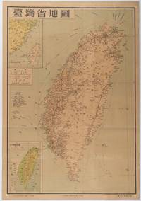
1954ref. 215869地圖出版社. Reprint. 1954. Colour folding map of Taiwan showing all major cities towns and villages railways highways roads rivers and sea routes. Topographical inset map at lower left Taiwan Straits with mainland coast inset map at top left. Each map has its own scale. Text in traditional Chinese characters. Washi repairs along some folds on reverse pin marks at corners evenly browned and a little faded. A nice map of Taiwan in fair condition. 77 x 53.8cm. . 地圖出版社. unknown