PICQUET (Charles).Livre Rare Book
12.176 resultados
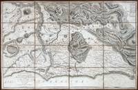
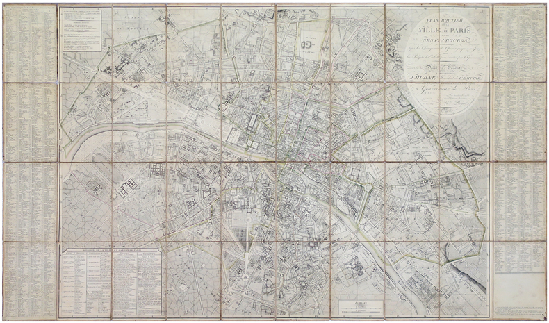
ref. LBW-5881Paris, Ch.les Picquet, 1er Frimaire An 13-22 nov.bre 1804. En 40 sections montées sur toile et pliées, formant une carte de 0,83 x 1,39 m, étiquette de l'éditeur au dos de la carte.
ref. 227567Paris, Ch. Picquet, 1833 plan dépliant de 59 x 89 cm, en feuilles, entoilées.
ref. 210292Paris, Lattré, 1775 carte dépliante de 55 x 76 cm repliée au format in-8, en feuilles, entoilées, petits trous à certaines pliures, une tache au niveau du faubourg Saint-Antoine.
ref. 210295Paris, Jean, 1832 carte dépliante de 61 x 89 cm, contours rehaussés de couleurs, en feuille, bords très ébarbés, quelques salissures.
1618ref. 60225Rome: Venance Monaldini Librarie Place d’Espagne No. 79 1816-1821. Four works. 1st -- Large dissected copper-engraved map dissected & mounted on linen 35.5 x 22.75 in. slight foxing edgewear closed tears at corner folds a couple folds w/ archival repair tape on verso over linen; 2nd & 3rd - 8vo. 63 1; 15 1 pp. With large folding copper-engraved frontisp. highlighting section of the pantogram. Original marbled wrappers very slight chipping head & foot of spine; 4th -- large 3-sheet “Pantogram” or panoramic view of Rome 63 x 8.75 in. all preserved together in open-backed slipcase wrapped in patterned blue paper printed cover label manuscript pricing information & title in ink some scuffing & edgewear still an overall VG set. Second edition of the large dissected map of Rome and surrounding countryside fourth edition of the two-in-one handbook illustrating the coast along the Tyrrhenian Sea from Lake Bracchiano to Mount Circe and inland to the Central Apennines foothills. Sickler’s 1773-1836 Panoramic elevated view of Rome with text key above identifying churches monuments and historical locations in 19th-Century Rome together with the map and handbooks here were key references for those taking the Grand Tour following the Napoleonic Wars which had devastated much of the Continent. Pietro Ruga 1772-1850 was a noted Italian engraver printmaker furniture designer and architectural draftsman best remembered for his maps and pocket panoramic views of Rome. Venance Monaldini Librarie, Place d’Espagne, No. 79, unknown
1879ref. GITk554Paris Erhard sans date vers 1879. TRES GRAND ET BEAU PLAN en couleurs entoilé mesurant 1 mètre 48 et demi en hauteur et 1 mètre 68 et demi de largeur, divisé en 4 segments se rejoignant parfaitement et se pliant plusieurs fois; ensemble sous étui cartonné spécial avec une pièce de titre rouge sur le dos (18,5cm en hauteur sur 13,5cm de largeur). Un liséré noir indique les limites des communes dépendant de l'arrondissement de Marseille; un autre, de couleur verte, indique la limite des communes dépendant d'Aix-en-Provence; les chiffres rapportés sur le plan signalent les hauteurs au-dessus du niveau de la mer. Bordures de l'étui fendues et manques sur la pièce de titre sans perte de lettres. Schéma de montage de la carte sur le dos toilé, écrit à l'époque au crayon bleu "ville sud", ville nord", Allauch-Aubagne", "Cassis-La Ciotat". PLAN FRAIS COMPLET ET EN TRES BON ETAT.
1841Pianta a proiezione verticale, orografica, orientata con il nord in alto.Si tratta, di una derivazione ridotta ed aggiornata della pianta di Giovan Battista Nolli del 1748, pubblicata per la prima volta nel 1838 - priva dell'apparato decorativo in basso, derivante interamente dal Nolli, che appare solamente in questa ristampa del 1841, emendata sulla vecchia lastra. Sono aggiunti orografia e rappresentazione delle aree verdi. "In basso, sotto la pianta, sono state inoltre aggiunte a sinistra una vista del Colosseo e la colonna Traiana con le tre colonne del Foror Romano in primo piano e a destra il Campidoglio. I rioni sono contraddistinti in pianta da numeri romani. In basso a destra troviamo le firme dei vari incisori. Ai due lati legende divise per argomenti. Non è stato possibile verificarlo, ma è probabile che questa pianta venisse venduta avulsa dall'opera" (cfr. Marigliani p. 285).Acquaforte, stampata su carta coeva, tagliata ed applicata su tela e montata ad astuccio, piccole ossidazioni, per il resto in buono stato di conservazione. Vertical projection map, orographic, oriented with the north at the top.It is a reduced and updated derivation of Giovan Battista Nolli's map of 1748, published for the first time in 1838 - without the decorative apparatus at the bottom, deriving entirely from Nolli, which appears only in this reprint of 1841, amended on the old plate. Orography and representation of the green areas are added. At the bottom, under the map, a view of the Colosseum and the Trajan's column with the three columns of the Foror Romano in the foreground and the Capitol on the right have been added. The districts (rioni) are marked in the map by Roman numbers. At the bottom right we find the signatures of the various engravers. On the two sides legends divided by topics. Etching, printed on contemporary paper, cut and applied on canvas and mounted in a case, light foxing, for the rest in good condition. C. Marigliani, "Le Piante di Roma delle collezioni private", n. 285; Scaccia Scarafoni, "Le Piante di Roma", n. 290.
ref. 62521Paris, sans date, vers 1870, 65x120mm, demi-percaline. Etiquette de titre manuscrite sur le plat supérieur. Carte en couleurs gravée par F. Delamare, format de la carte, 63x89cm. Bon état.
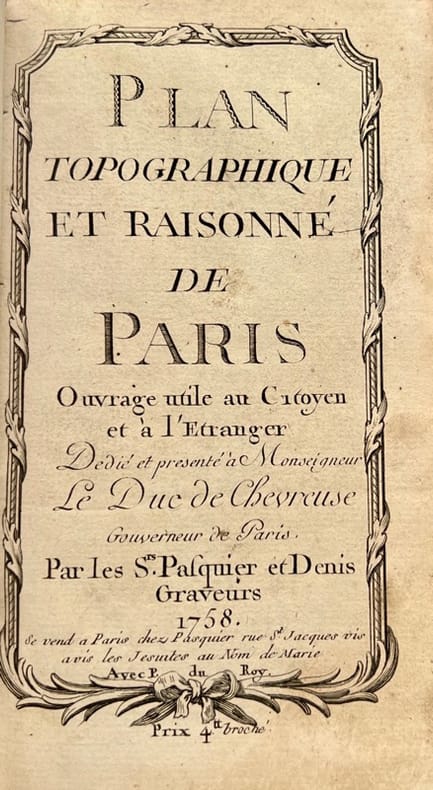
1758ref. 42372Se vend à Paris, chez Pasquier et Denis, 1758. Petit in-8 de 3 ff.n.ch., 149 pp., 1 f.n.ch., veau lisse brun, dos orné, pièce de titre en maroquin rouge (reliure de l'époque).
ref. 140553aafZürich, Hofer & Burger, o. J., o.J. (um 1910), kl. in-8vo, farb. Faltkarte (34 x 55 cm), Kart. Deckel: Titel vorne / Werbung hinten.
ref. 140609aafZürich, Hofer & Burger, o. J., 1888, kl. in-8vo, farb. Faltkarte (42 x 55 cm), Kart. Deckel ill. Titel (Zürichberg-Bahn vorne / Rückseite: Waldhaus, Degenriet-Wirtschaft, Hirschlanderberg + 2 Panoraman.
ref. 140610aafZürich, Hofer & Burger, o. J., 1884, kl. in-8vo, farb. Faltkarte (42 x 55 cm), Kart. Deckel ill. Titel (Die Restauration zur Jacobsburg) / Rückseite: Hôtel & Pension Phönis + Panorama vom Hôtel Phönis aus + Alpenpanorama.
1985ref. 71233(Braunschweig, Archiv-Verlag), [ca. 1985]. 1 mehrf. gefalt. getönter lithograph. Plan, Blattmaß 51,6 x 69 cm. In neuem illustr. Umschlag. Deckel 17 x 11,5 cm.
1876ref. 71763Hamburg, Ch. Fuchs Lith. Inst. [ 1876]. Zweifarbiger, lithographierter Faltplan (39 x 69 cm), mehrfach gefaltet.
1876ref. 71767Hamburg, Ch. Fuchs Lith. Inst. [ 1876]. Zweifarbige, lithograph. Karte (78 x 56 cm), mehrfach gefaltet.
1840Hamburg bei G. W. Niemeyer, Ca. 1840. Lithographed map ""Plan von Hamburg"", Steindruck von J. Guntrum, Verlag von G.W. Niemeyer. (33x50 cm.). Folded inserted in orig. cloth-covers, gilt.
1840ref. 42211Hamburg bei G. W. Niemeyer, Ca. 1840. Lithographed map ""Plan von Hamburg"", Steindruck von J. Guntrum, Verlag von G.W. Niemeyer. (33x50 cm.). Folded inserted in orig. cloth-covers, gilt.
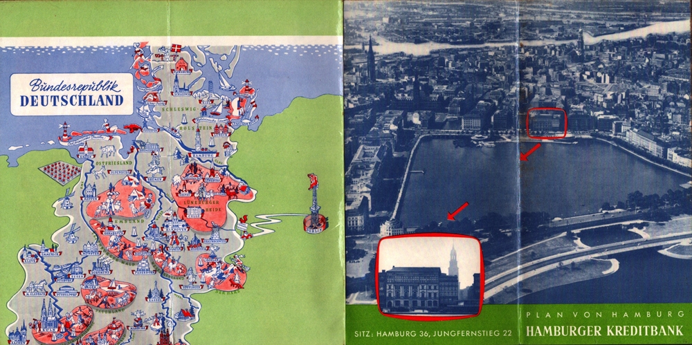
1957ref. 88245Hamburg, Falk-Verlag, 1956/1957. Mehrfach gefalt. farbiger Straßenplan. [Maßstab ca. 1:20.000]. 37 x 37 cm Kartenmaß 37 x 37 cm. Blattgröße 40 x 39,5 cm. Gefaltet 20 cm. Beidseitig folienkaschiert.
1800ref. 76903[ca. 1800]. Bildgröße 17,5 x 30 cm. Unter Feinkartonpassepartout.
1850ref. LBW-4157[circa 1850]. 451 x 571 mm, sur papier vélin.
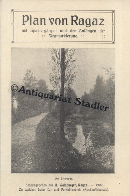
1909ref. 6413Ragaz 1909. 1 mehrfarb. Faltplan m. Textteil. 18x12 cm (35x45 cm). [2 Warenabbildungen]
19632 colour maps. eng
1987Good+ Hardback with good+ dust jacket. Including the electronic technology and satellite navigation. Minor shelf wear. Corners of boards have been knocked very slightly. Clean text. Black & white/colour illustrations. 196p.
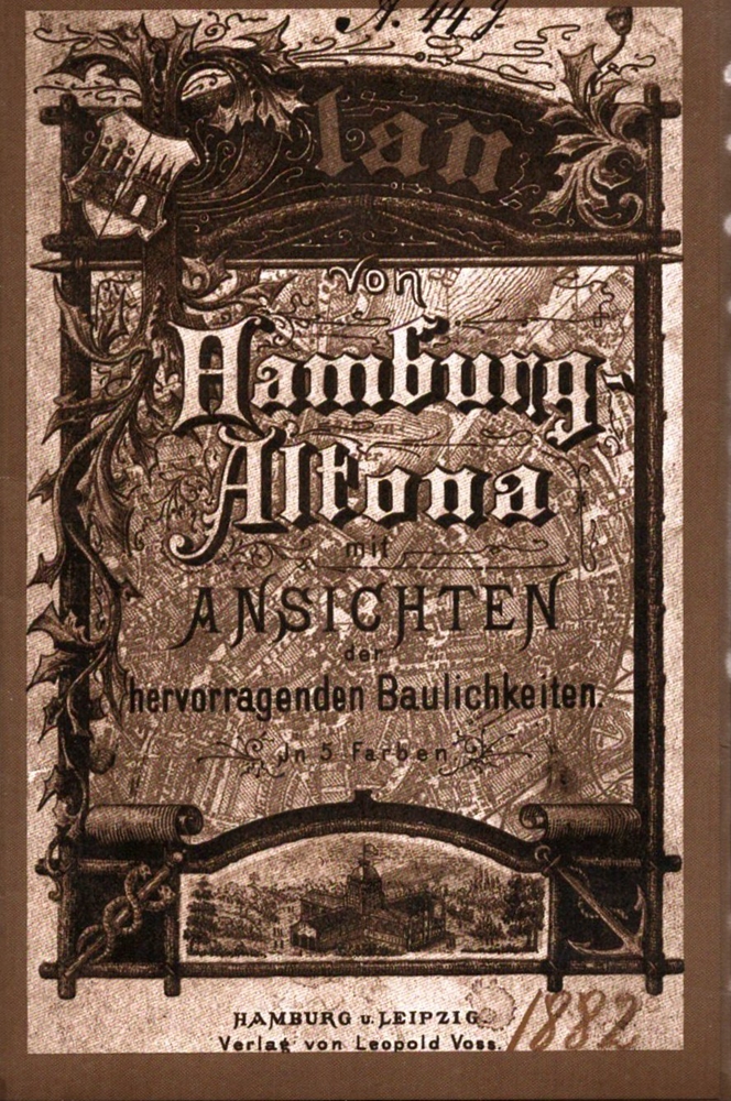
1876ref. 71305Hamburg, F. L. Hahne, 1876. Zweifarbiger, lithograph. Faltplan (51 x 53 cm).
1876ref. 71760Hamburg, Ch. Fuchs Lith. Inst. 1876. Dreifarbiger, lithographierter Faltplan (50 x 67 cm), mehrfach gefaltet.