LEFÈVRE (Onésime Théodore).Livre Rare Book
[ORLY] Commune d'Orly. Arrond.t de Sceaux. Canton de Villejuif.
1854ref. LBW-83241854-1869. En deux feuilles jointes formant un plan de 0,90 x 1,19 m, replié.

Librairie Le Bail · Paris, França€ 500,00
12.289 resultados
1928Very Good Turkish Original b/w photograph. 9x14 cm. It shows Erkilet and two other men and a woman sitting around a table. Erkilet was an officer of the Ottoman Army and the general of the Turkish Army. In the fall 1941 he, along with General Ali Fuad Erden, visited the occupied territories in Ukraine (including Crimea) on invitation of Gerd von Rundstedt. From there he and other Turkish officers flew to Rastenburg to meet Hitler in person. In 1943 he published his essays on that trip under title "What I Saw on the Eastern Front". Being a staunch Turanist, he was briefly detained for Panturkic activities in 1948 together with some other prominent Turanists.
1854ref. LBW-83241854-1869. En deux feuilles jointes formant un plan de 0,90 x 1,19 m, replié.
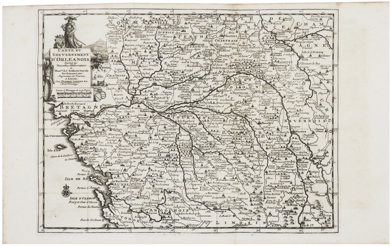
1729ref. LBW-6261Leide, Pierre Vander Aa, [1729]. 224 x 297 mm.
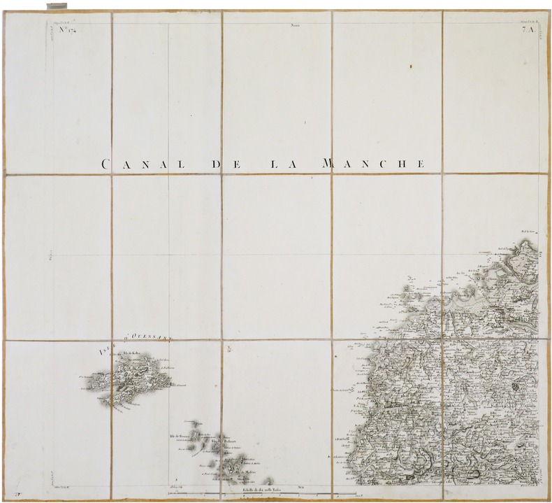
1782ref. LBW-8798[Paris], 1782. En 21 sections montées sur toile et repliées, formant une carte de 604 x 925 mm ; étiquette au dos ; onglet de vélin renseigné du numéro de la feuille.
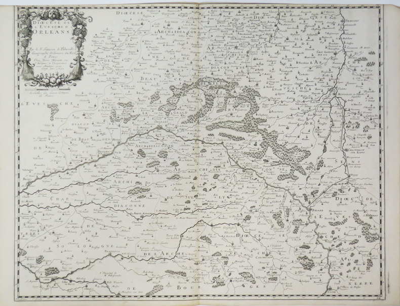
1653ref. LBW-3420Paris, Pierre Mariette, 1653. 420 x 525 mm.
1831ref. LBW-6868Orléans, Alphonse Gatineau, 1831. En deux feuilles jointes formant un plan de 588x 836 mm.
1852ref. 4698Paris, Au Dépôt de la Guerre, 1852. 1 carte entoilée et repliée de 59 x 88 cm., sous cartonnage de l'éditeur.
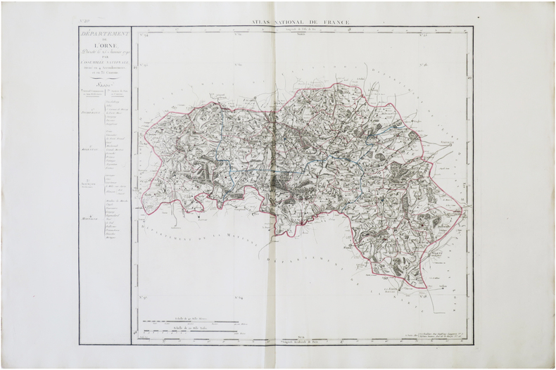
1806ref. LBW-7727Paris, P.G. Chanlaire et Veuve Dumez, [1806]. 511 x 620 mm.
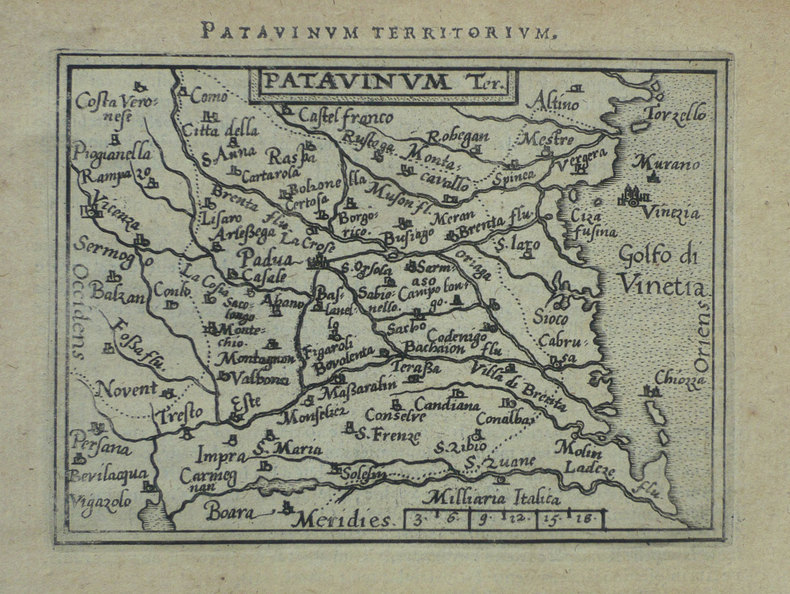
1598ref. LBW-1415Anvers 1598 81 x 105 mm.
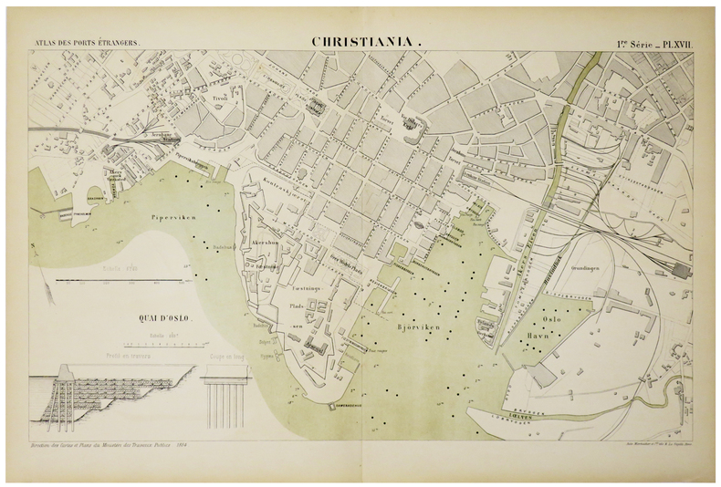
1884ref. LBW-5469Paris, Auto. Marchadier et Cie, 1884. 285 x 459 mm.
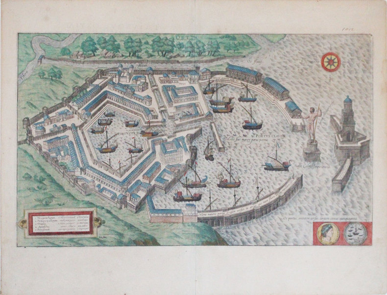
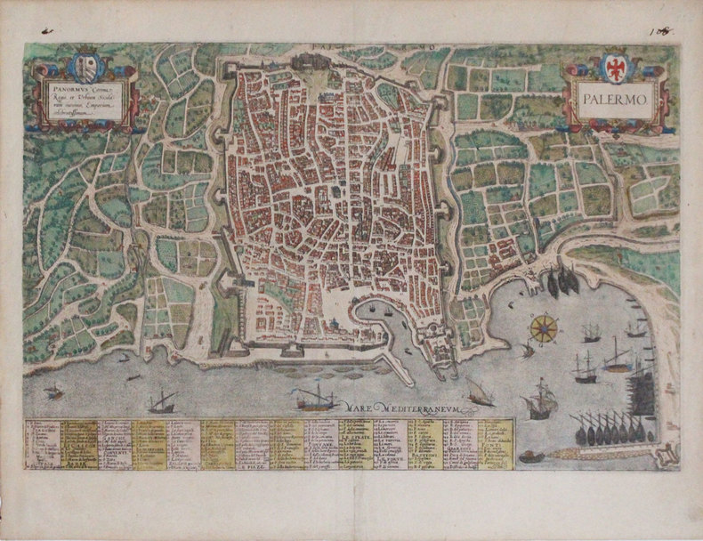
1588ref. LBW-3307[Cologne, 1588]. 294 x 496 mm.
1900Very Good Turkish, Ottoman (1500-1928) Original lithograph map partly colored in brown tones. 82x56 cm. (Map print size: 50x46 cm). This map including four different map blocks on the paper. Three small ones include completely Asia, Baycal Lake, and North Russia. The big one includes a very detailed view of Japan, the Sea of Japan, Korea Strait, Korean Peninsula, Korean Bay, Yellow Sea, Shangai, Mongolia, Manchuria, and East Russian lands. No info about the cartographer. "The Cartographer Plotting School was opened to train the cartographers, especially when they were needed on military issues in the Ottoman State. Since there are differences between land maps and sea maps (in terms of measurements), the institution of surveyors emerged. When surveyors were needed also in the Navy, students at the Naval School were trained on this issue, and the gap for surveyors was covered in this way." (SCHOOL OF MAP DRAWING IN THE OTTOMAN STATE, Derya Geçili). Minor splits on foldings. Map in good condition generally.
1921Very Good Turkish, Ottoman (1500-1928) Original map. Oblong atlas folio. (57 x 77 cm). In Ottoman script. Folded. Stains on the upper side. Slightly chipped margins. Filistin haritasi. Scale: 1/250.000. Erkilet was an officer of the Ottoman Army and the general of the Turkish Army. In fall 1941 he, along with General Ali Fuad Erden, visited the occupied territories in Ukraine (including Crimea) on the invitation of Gerd von Rundstedt. From there he and other Turkish officers flew to Rastenburg to meet Hitler in person. In 1943 he published his essays on that trip under the title "What I Saw on the Eastern Front". Being a staunch Turanist, he was briefly detained for Panturkic activities in 1948 together with some other prominent Turanists.
1909Very Good Turkish, Ottoman (1500-1928) Original color map. 21x19,5 cm. In Ottoman script. No scale, no mapmaker info. Slightly dumped on right margin. Little wear on peninsula view. Otherwise a good copy. Folded. [Ottoman map of Aden Bay and Port].
1920Very Good Turkish, Ottoman (1500-1928) Original color map. Elephant folio. (59x75 cm). In Ottoman script. [OTTOMAN MILITARY MAP of PATAGONIA and FALKLAND ISLANDS: ROUTE of DRESDEN] Alman kruvazörü Dresden'in takîbi ve tahrîbi. SMS Dresden cruiser's routes between 1913-1915 (World War 1) on the Patagonian shelf; western shores of South America, Patagonia and Falkland Islands. Dresden spent much of her career overseas. After commissioning, she visited the United States in 1909 during the Hudson-Fulton Celebration, before returning to Germany to serve in the reconnaissance force of the High Seas Fleet for three years. In 1913, she was assigned to the Mediterranean Division. She was then sent to the Caribbean to protect German nationals during the Mexican Revolution. In mid-1914, she carried the former dictator Victoriano Huerta to Jamaica, where the British had granted him asylum. She was due to return to Germany in July 1914, but was prevented by the outbreak of World War I from doing so. At the onset of hostilities, Dresden operated as a commerce raider in South American waters in the Atlantic, then moved to the Pacific Ocean in September and joined Maximilian von Spee's East Asia Squadron. Dresden saw action in the Battle of Coronel in November, where she engaged the British cruiser HMS Glasgow, and at the Battle of the Falkland Islands in December, where she was the only German warship to escape destruction. She eluded her British pursuers for several more months, until she put into Robinson Crusoe Island in March 1915. Her engines were worn out and she had almost no coal left for her boilers, so the ship's captain contacted the local Chilean authorities to have Dresden interned. She was trapped by British cruisers, including her old opponent Glasgow. The British violated Chilean neutrality and opened fire on the ship in the Battle of Más a Tierra. The Germans scuttled Dresden and the majority of the crew escaped to be interned in Chile for the duration of the war. The wreck remains in the harbor; several artifacts, including her bell and compass, have been returned to Germany.
ref. LBW0621fBruxelles Eugène Henry Fricx circa 1710 494 x 598 mm.
1729ref. LBW-6128[La Haye, Isaac van der Kloot, 1729]. 484 x 585 mm.
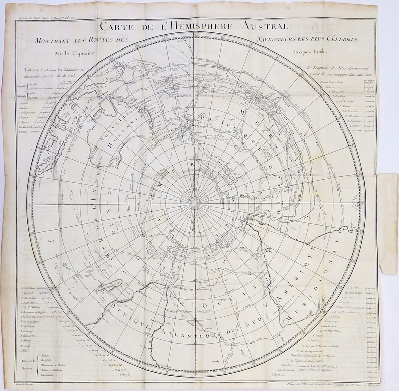
1753ref. LBW-4651753. 582 x 812 mm.
1756ref. LBW-7374[Paris, 1756-1789]. En 15 sections montées sur toile et pliées, formant une carte de 600 x 666 mm ; étiquette au dos de l'éditeur Auvray portant le titre manuscrit, onglet de vélin renseigné du numéro de la feuille.
1929ref. LBW-8926Paris, E. Girard, 1929-1936. In-12 broché de 12 ff. et une carte repliée de 459 x 613 mm (marges comprises).
1780ref. LBW-4310[1780]. 535 x 535 mm.
1555ref. LBW062051555 65 x 102 mm.
1598ref. LBW-1423Anvers 1598 82 x 105 mm.
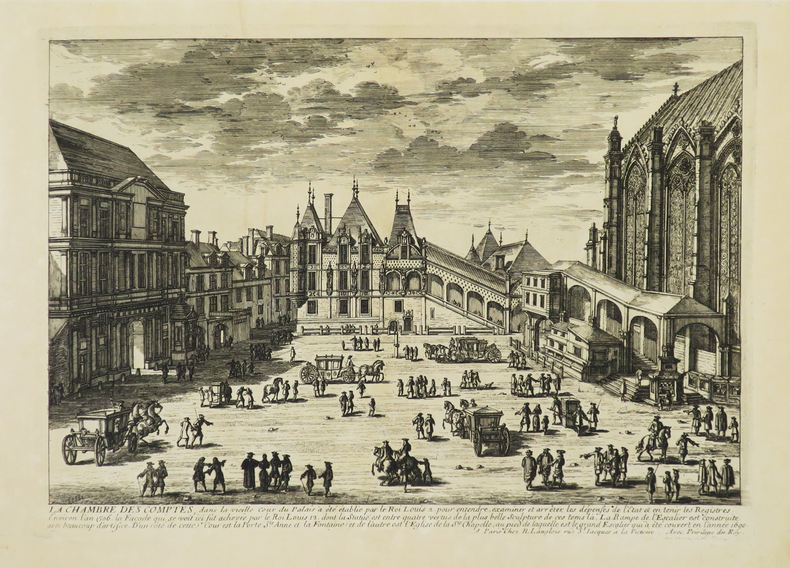
1680ref. LBW-4942Paris, N. Langlois, [circa 1680]. 212 x 298 mm.
1588ref. LBW-3308[Cologne, 1588]. 324 x 500 mm.