Collins MapsBiblio.com
11.756 resultados
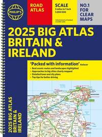
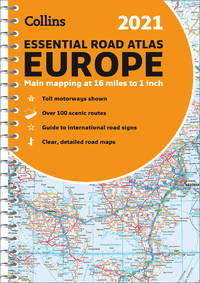
ref. 0008374333.Gspiral_bound. Good. Access codes and supplements are not guaranteed with used items. May be an ex-library book. unknown
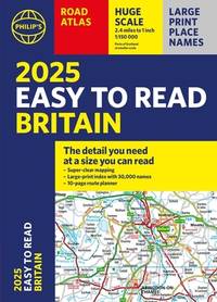
2021ref. DADAX184907562XPhilip's 2021-03-04. paperback. New. 8.58x0.63x11.57. Buy with confidence. Excellent Customer Service & Return policy. Philip's paperback
2022ref. SBBI-mon0000017446Collins 2022. map. Acceptable. Please see the condition note after this for details if this is missing please consider Acceptable to mean poor quality that could include major staining water damage writing missing dustjacket etc etc. Our books are dispatched from a Yorkshire former cotton mill. We list via barcode/ISBN so please note that the images are stock images and may not be the exact copy you receive furthermore the details about edition and year might not be accurate as many publishers reuse the same ISBN for multiple editions and as we simply scan a barcode or enter an ISBN we do not check the validity of the edition data when listing. If you're looking for an exact edition please don't order at least not without checking with us first although we don't always have time to check. We aim to dispatch prompty the service used will depend on order value and book size. We can ship to most countries see our shipping policies. Payment is via Abe only. Collins unknown
2022ref. SBBIH-QXRGHUF64HVDCollins 2022. spiral_bound. Very Good. Most of our very good books have only minor imperfections such as shelf wear consistent with a new book that's sat on a bookshop shelf for a year or two. Occasionally we may miss other minor imperfections as we have to grade books at speed. Our books are dispatched from a Yorkshire former cotton mill. We list via barcode/ISBN so please note that the images are stock images and may not be the exact copy you receive furthermore the details about edition and year might not be accurate as many publishers reuse the same ISBN for multiple editions and as we simply scan a barcode or enter an ISBN we do not check the validity of the edition data when listing. If you're looking for an exact edition please don't order at least not without checking with us first although we don't always have time to check. We aim to dispatch prompty the service used will depend on order value and book size. We can ship to most countries see our shipping policies. Payment is via Abe only. Collins unknown
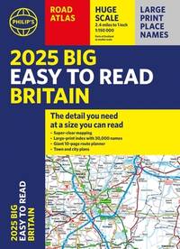
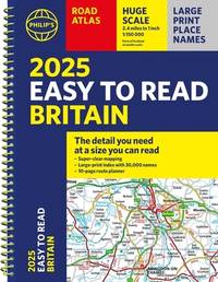
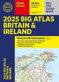
2022ref. DADAX1849075530Philip's 2022-04-07. spiral_bound. New. 11.42x0.39x15.43. Buy with confidence. Excellent Customer Service & Return policy. Philip's unknown
ref. 43997735-nnew. unknown
ref. 45515646-nnew. unknown
ref. 47330571-nnew. unknown
ref. 47113082-nnew. unknown
ref. 47113080-nnew. unknown
ref. 47113083-nnew. unknown
ref. 47330570-nnew. unknown
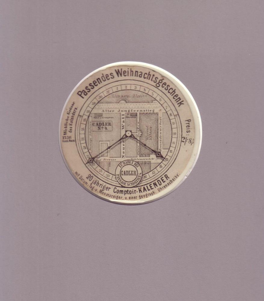
1866ref. 81188[Hamburg], C. Adler, 1866. Kreisrunder Reklameausschnitt (Durchmesser: 9,5 cm) Lithographie unter rund ausgeschnitt. Schrägschnitt-Passepartout.
ref. 9782845235882(Ref.: Ref98933)
ref. 13983455Paris: Cie Gle Transatlantique, Devambez, c. 1920 collection complète de 24 cartes postales imprimées en couleurs 14x9 cm sous pochette à rabats illustrée. Les cartes postales sont en très bon état, la pochette est lég. défraîchie avec une petite déchirure sans manque restaurée. Édouard Marcel Sandoz (1881-1971) est un artiste suisse, sculpteur animalier et peintre d'aquarelles.
1839ref. 4673London, G. F. Cruchley, 1839. ca. 71 x 70 cm große Karte in 28 Segmenten, Decke mit aufkaschiertem marmoriertem Papier. Zustand 2, Ränder etwas bestoßen, Leinen einige nicht durchschlagende Flecken, dekorativer kartenrand wenige Fleckchen, aufkaschierte Verlagsanzeige auf Rückseite eines Segmentes.
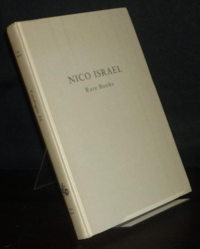
1989ref. 99873Amsterdam: Nico Israel 1989. 200 Seiten. Mit zahlreichen Abbildungen + Preisliste. Gr. 8° (22,5-25 cm). Orig.-Leinenband. [Hardcover / fest gebunden].
ref. ABE-1560546614139REPRODUCTIONS DE CARTES POSTALES ANCIENNES-N°14-81-82-84-88-89-91-92-93-94-95-99-100-101-106-112-113-114-116-119-120-122-124-125-127-137-(BCP10)
ref. 11443Paris: 1693-1753. No binding. Good. 595 x 815 mm. dark impression on thick paper margins trimmed with repairs to upper edges otherwise in good condition. The third state of the official French sea chart of the Channel Islands and the nearby Cotentin peninsular published by the L'Imprimerie Royale in 1693 utilising recent scientific survey work. The engravers imprint lower right is erased. Two lines of longitude are added across the bottom marked from Tenerife and L'Isle de Fer and a line of latitude is added by the right margin. The chart extends southwards to include the 'Isles de Chausey' the town of Granville in Normandy and Treguier in Brittany. It is from the 'Neptune François' one of the landmarks in the publication of sea atlases a highly significant work. In 1662 Jean-Baptiste Colbert 1619-83 Minister of State to Louis XIV made an initial attempt to have the coasts of France surveyed. The results were disappointing. Colbert tried again in 1670 this time having La Favolière survey the French coast south of the Loire River and Denis de La Voye northwards and through the English Channel. A decade later at the behest of the Académie des Sciences and Jean Dominique Cassini 1625-1712 the astronomers Jean Picard and Philippe de La Hire surveyed the country making astronomical observations of latitude and longitude. It was the results of their work that lost Louis XIV more territory than he had won in wars. These two projects were combined to produce with the encouragement of Cassini 'Le Neptune François'. ""The minister of finance to Louis XIV took the initiative to give the French navy an important advantage over the British. In 1691 a royal privilege was granted to produce a sea chart atlas 'Le Neptune François' engraved and printed on Mercator's projection by royal-appointed engineers and surveyors"" Wardington Catalogue. One of its most innovative features was the laying down of safe channels on the charts along with all the usual hazards and soundings to be expected. Another tradition began with this atlas in that it used soundings based on the lowest tide. It was immediately counterfeited by Pieter Mortier in Amsterdam. Whilst the Dutch version sold well the original French version didn't. Its large size use of Mercator's projection which was not favoured by French sailors and high price meant that the work languished for sixty years. The French government collection of nautical charts became part of the Archives de la Marine in 1699. It was renamed as the Depot des Cartes et Plans de la Marine in 1720. In 1741 Jacques-Nicolas Bellin 1703-1772 became its de facto person in charge. He was one of the most important and prolific French cartographers of the mid-eighteenth century. With access to the latest navigational reports he produced a great many maps and charts of excellent quality compiling atlases of sailing charts for military and official use as well as for commercial publication. A second edition of the 'Neptune François' appeared in 1753 under Bellin's direction. The charts bore added lines of longitude and latitude. Provenance: private Jersey collection. Chapuis 2019; Pastoureau 1984 Neptune Français C no. 17; Pelletier 2019 'Jean Picard' in 'The History of Cartography' vol. IV pp. 1095-7. 1693-[1753] unknown
1978ref. R320162809Les éditions de l'amateur. 1978. In-4. Relié. Bon état, Couv. convenable, Dos satisfaisant, Intérieur frais. 190 pages - nombreuses illustrations en couleurs et en noir et blanc dans le texte - en supplément une lettre dactylographiée non signée de l'éditeur + carte de visite de l'auteur avec hommage.. . . . Classification Dewey : 741.68-Illustrations des cartes postales
ref. 79281Les Editions de l'Amateur, 1978. 21 x 30, 190 pp., très nombreuses illustrations en N/B, reliure d'édition pleine toile, très bon état.
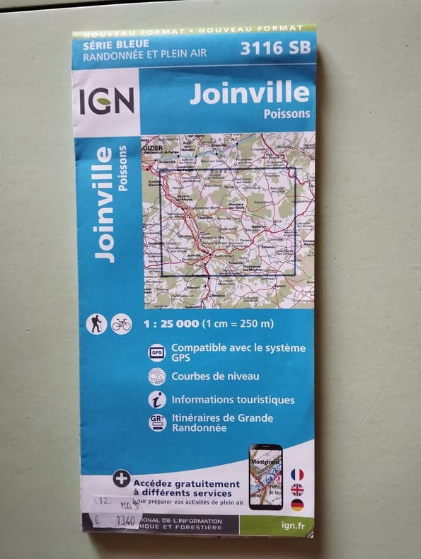
2017ref. 500238193IGN Institut Geographique National 2017 1 pages 11 2x24 2x1 2cm. 2017. map. 1 pages.
ref. 101163aafSeidel & Sohn, Wien, 1905. in-4to, ATLAS: 2 Bl. (Titel - Verzeichniss) + 42 gef. Karten. Tafel I-XXXVIII + 1 gef. Übersichts-Blatt, (incl. Tafel XV (Südwestl. Theil - in der Série gezählt) + Tafel XV - Nordostl. Theil + Tafel XV - Südostl. Theil + Tafel XV - Nordwestl, Theil. / TEXTBAND.: XXIV + 718 S., Tafeln in original Halbleinen Kartenmappe / O.-Halbleder mit Ecken.
ref. CZC-9246Carte de l'Europe indiquant les positions des royaumes barbares au 5e siècle - Carte de l'Asie - Carte de l'Empire Romain depuis Constantin jusqu’à la fin du 4e siècle - Carte de l'Allemagne et des contrées. Très bon état, format 50x40cm, imprimé vers 1810/20. ref/10
ref. CZC-9246Carte de l'Europe indiquant les positions des royaumes barbares au 5e siècle - Carte de l'Asie - Carte de l'Empire Romain depuis Constantin jusqu’à la fin du 4e siècle - Carte de l'Allemagne et des contrées. Très bon état, format 50x40cm, imprimé vers 1810/20. ref/10