12.535 resultados
ref. Q-0316706078Little Brown & Company 1929-01-01. Hardcover. New. In shrink wrap. Looks like an interesting title! Little Brown & Company hardcover
ref. SKU1748713Academic Press 2017-04-20. paperback. New. 6x1x9. New Book Ships with Tracking Academic Press paperback
ref. 29134098-nnew. unknown
ref. SKU0620141Academic Press 2017-04-20. paperback. New. 6x0x9. New Textbook Ships with Tracking Academic Press paperback
ref. SKU0470112Academic Press 2017-04-20. Paperback. Good. Textbook May Have Highlights Notes and/or Underlining BOOK ONLYNO ACCESS CODE NO CD Ships with Emailed Tracking Academic Press paperback
ref. 147Aubenas , Artige fils éditeur . 1 Reproduction et agrandissement d'une carte postale , XIXeme . 18X24 , sous verre .
ref. 149Aubenas , Artige fils , éditeur . 1 Reproduction et agrandissement d'une carte postale XIXeme . 24X18 , sous verre .
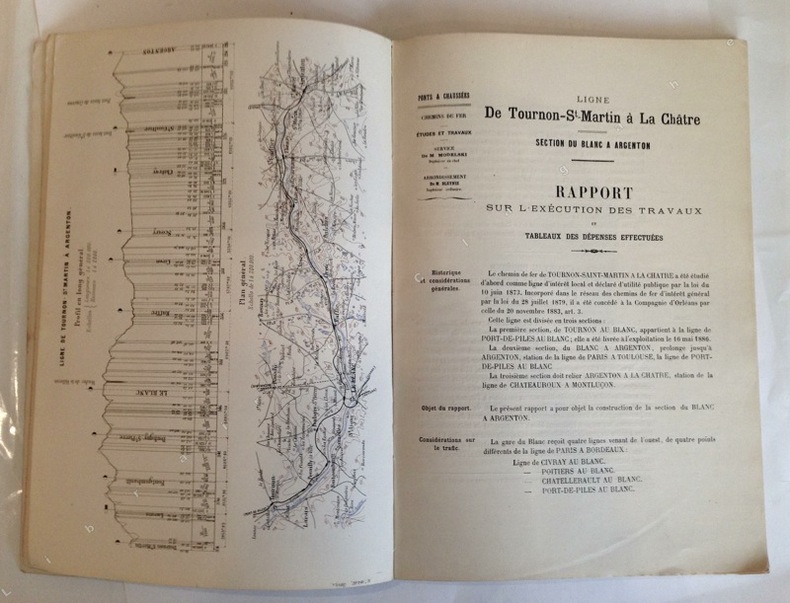
1889ref. 10851Poitiers, Imprimerie Blais, Roy et Cie, 1889 ; grand in-4, broché ; 57 pp., (1) p. bl., profil en long et plan général en couleurs en frontispice, (38) pp. de planches et dessins des principaux ouvrages (viaduc de Villerie ; passage supérieur d'Anzan ; passage supérieur des Zéros ; Pontceau de Bois-Marmin ; pont biais sur la Creuse à Saint-Gaultier ; pont de décharge de St Gaultier ; pont biais sur la Creuse à Conives ; plan d'ensemble des abords du Blanc ; plan de la Gare du Blanc ; plan des stations entre Le Blanc et Argenton), couverture rose.
ref. 14264Aubenas, Artige, s.d. (vers 1905), 1 carpostale de 14 x 9 cm, oblitérée.
2000128 pages. Index. Profusely illustrated with wonderful colour photos of lighthouses from each province, plus maps and directions, history, legend, lore and descriptions. Printed upon glossy stock. Clean and unmarked with moderate external wear. A quality copy of this charming and informative work. Book
ref. LBW03d78Paris Benard circa 1850 225 x 292 mm.
194434.5" x 25" paper map. Identifies Roads, Railways, International Boundaries, Churches, Forts, Lighthouses, Woodlands. Average wear. Book
ref. R100038211Non Renseigné. Non daté. In-12. Broché. Bon état, Couv. convenable, Dos satisfaisant, Intérieur frais. Bon état.. . . . Classification : 1000-Images Divers
1884ref. R100038218Non Renseigné. 1884. In-12. Broché. Bon état, Couv. convenable, Dos satisfaisant, Intérieur frais. Trous de classement rouillés. Assez bon état.. . . . Classification : 1000-Images Divers
8vo, 16 pages, one folded plan. eng
1963ref. 1125558442Chicago: Denoyer-Geppert Social Science Maps 1963. Book. Very Good. No Binding. 1 map : color ; 69 x 105 cm folded to 42 x 28 cm. showing transport routes America wide.main lines and secondary routes divided in sections and laid on canvas eyelets for hanging very good conditionScale ca. 1:4500000 Denoyer-Geppert social science maps A19. Denoyer-Geppert Social Science Maps unknown
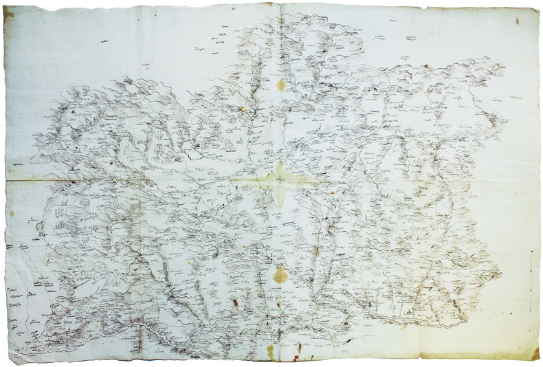
1700ref. LBW-6582[vers 1700]. 58 x 86 cm, sur 2 feuilles jointes.
ref. 116355aafs.l., s.d. (vers 1800) 34 x 44 cm, carte gravée tirée sur papier bleuâtre, ‘Lisbonne’ en couleurs, titre en haut à gauche ‘Superficie 1, 500,000 Toises, Echelle de 600 Toises , a droite en haut: N.B. On a indiqué par une teinte differente la partie de la ville qui’à été rebatie depuis le tremblementr de terre de 1755, 1 plan de Lisbonne
1690ref. LBW-945[circa 1690]. 210 x 305 mm.
ref. CWE53RT
ref. CWE54RT
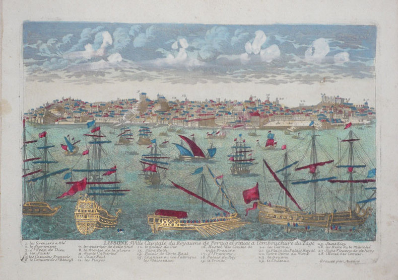
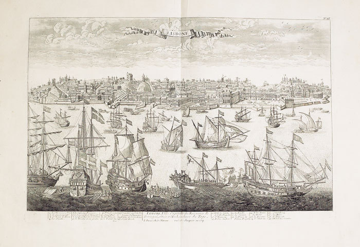
1760ref. LBW-517Paris Chéreau 1760 circa 346 x 515 mm.
ref. 91200aafWashington, Library of Congress, 1973, 1974, lg. in-8vo, CXXX (130 p.) + 1 ll. + 708 p. / 190 p., original clothbound
ref. 91202aafWashington, Library of Congress, 1958 lg. in-8vo, LXXII (72 p.) +1 ll. + 681 p., original clothbound
2018ref. 500048582Michelin 2018 1 pages 10 67x15 75x1 27cm. 2018. Broché. 1 pages.