12.365 resultados
37 x 43 cm. (Blatt: 42 x 55 cm). *Regionalkarte des Mansfeldischen Gebiets, gedruckt bei Ortelius, schönes Flächenkolorit. - Sauber und sehr gut erhalten. Landkarten de
ref. 1566958725.Gmap. Good. Access codes and supplements are not guaranteed with used items. May be an ex-library book. unknown
ref. 1332615007.Gpaperback. Good. Access codes and supplements are not guaranteed with used items. May be an ex-library book. paperback
in-8°, 310 pp., figures dans le texte, broche, couverture illustree Etat moyen (fortes mouillures aux 40 premieres pages) [NV-37]
Ca. 230 x 190 mm. Original hand-coloured map on tissue paper. In Ottoman script and Arabic. Hand-drawn map of the Yemen vilayet, distinctly outlining the sanjaks of Sana'a, Ta'izz, Hudeyde, and Asir, bordered by the Arabian Desert, the Hejaz vilayet, the Red Sea, and the Umman Sea. Maps such as this, executed on thin tracing paper, were commonly made as educational tools at elite Ottoman schools and universities during the early 20th century, although few such specimens survive. The manuscript notes suggest that the map was used for military purposes during the last Ottoman imperial period. - At the beginning of the 20th century, the vilayet covered an area of 200,000 square kilometers, its population having reached 2,500,000 by 1885. When World War I broke out, Imam Yahya remained nominally loyal to the Sultan but at the same time strove to negotiate with Britain. Turkish forces withdrew in 1918, and Imam Yahya strengthened his control over northern Yemen, creating the Mutawakkilite Kingdom of Yemen. - Very well preserved.
ref. CZC-1431CARTE COULEUR GÉOGRAPHIQUE COULEUR format 44 cm x 33,5cm ( pliable en 4 parties) Imprimerie de Selves fils, lithographe de l'Université, rue des Lions St Paul n°14 Bel état, document authentique , couleur envoi Export suivis pour l'étranger ( 6,75 €)
1838ref. A102Paris, Delamarche, 1838 ; 336/475 mm, 1 pp., une feuille. Mappemonde. Bon état.
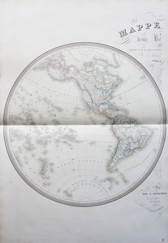
1854ref. LBW-1798Paris J. Andriveau-Goujon 1854 En deux feuilles non jointes pouvant former une carte d'environ 870 mm x 1,31 m.
1850ref. 44333(London), JAs (James) Wyld, (around 1850). (62,5 x 94 cm.). Engraved map, with original outline colourung.. A few small tears in margins, not affecting image.
1781ref. LBW-37301781. 214 x 329 mm.
1798ref. LBW-1710Paris, 1798. 322 x 427 mm.
1798ref. LBW-7904[Paris, P.G. Chanlaire et E. Mentelle, An six de la République - 1798]. 316 x 428 mm.
1798ref. LBW-7943[Paris, P.G. Chanlaire et E. Mentelle, An six de la République - 1798]. 330 x 430 mm.
1827ref. LBW-6186Paris, chez l'auteur, 1827. 391 x 746 mm.
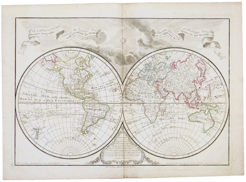
1800ref. LBW-5393Paris, Dezauche,1800. 455 x 658 mm.
1824ref. LBW-1715[Paris, 1824]. 475 x 630 mm.
ref. 135430aafBerlin, Safari-Verlag, 1985, gr. in-8vo, 402 S. mit 18 Farbtafeln, 73 Kunstdrucktafeln u. 40 Abb. im Text, (mit 65 S. 2-spaltig: Verzeichnis der Kartographen), Original-Leinenband. Mit farbig ill. Schutzumschl.
ref. 8696Madrid, 1770. Une feuille pliée et toilée de 38 x 39 cm
ref. 8699Madrid, 1785. Une feuille pliée et toilée de 37 x 40 cm.
ref. 8700Madrid, 1784. Une feuille pliée et toilée de 84 x 87 cm.
ref. 8701Madrid, 1787. Une feuille pliée et toilée de 38 x 41 cm.
ref. 8703Madrid, 1787. Une feuille pliée et toilée de 37 x 40 cm.
ref. 8704Madrid, 1795. Une feuille pliée et toilée de 75 x 87 cm.