OZANAM JacquesLivre Rare Book
12.210 resultados
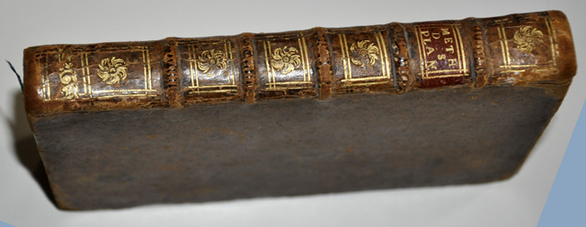
1716ref. 53781716 Paris , Claude Jombert , 1716 , in-8 , (6) ff , 215 , (1) pp , 14 planches depliantes , veau brun , dos à nerfs orné de fleurons dorés Bon etat , photos sur demande
À La Haye, chez Henri Van Bulderen, 1691. 8vo.; frontispicio grabado en cobre, 11 hojas, 575 pp., 8 hojas y 14 mapas plegados, dibujados por Nicholas de Fer (1646-1720) y grabados en cobre por De Winter. Encuadernación de época en piel, con lomera profusamente ornada. Este Tomo Primero contiene: Mapamundi, y los mapas de Europa, Francia, Imperio de Alemania, Países Bajos, Polonia, Rusia Blana, Suecia y Noruega, Dinamarca, Islas Británicas, España, Italia, Grecia (como la parte meridional de Turquía en Europa) y Hungría (como la parte septentrional de Turquía en Europa).
1813ref. 100381Paris Duponcet 1813 189x117mm Paris, F. Duponcet, 1813, in-12, 187x115mm, XXIV, 116pp et 12 planches dépliantes dont 9 aquarellées. Reliure en demi parchemin, petit dessin d'un bouquet de fleurs sur le faux titre et nom du propriétaire "Jean Delorme Fils" à la plume. Troisième édition (100381)
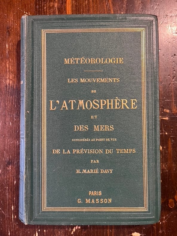
1866ref. 21966Paris, Victor Masson, 1866. In-8, pleine percaline verte de l'éditeur, titre doré au dos et sur le premier plat, tranches dorées.
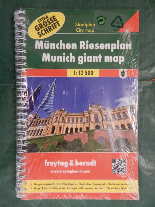
ref. 33193gefreytag & beredt, o.J. Broschur, mit farbigem Deckelphoto, kl. DinA 4, mit Metall-Spiralbindung, BEACHTE: Extra große Schrift; zweisprachig in deutscher und englischer Sprache; weitere Angaben nicht möglich, da noch original verschweißt, sehr guter, (nahezu) neuwertiger Zustand [2 Warenabbildungen]
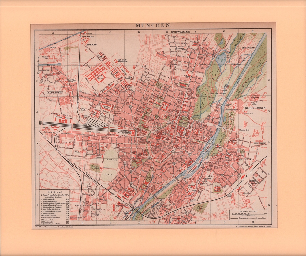
1895ref. 76431Leipzig, F. A. Brockhaus, [ca. 1895]. Bildgröße 22 x 27 cm. Unter Feinkartonpassepartout.
1970ref. 147772Couverture rigide. Reliure de l'éditeur. 942 pages.
ref. 62249Bielefeld Velhagen & Klasing 1928. . Gering berieben sonst gutes Exemplar Bielefeld, Velhagen & Klasing, 1928. unknown
ref. 79062Bruxelles, Editions Libro-Sciences, 1972. 21 x 15, sans pagination, 120 illustrations en N/B (cartes postales), reliure d'édition pleine toile, bon état.
19251 feuille repli?e 109,5 x 50 cm.
Format: 48 x 66 cm. Landkarten de
194738.5" x 26.75" map. Indicates sixty-seven coal mines and prospects. Extensive descriptive notes along right margin. Legend in left margin indicates the various formations shown on the map, including Gabriola, Northumberland, De Courcy, Cedar, Protection, Newcastle, Cranberry, Extension, Haslam and East Wellington, and Benson. Stored in original government-issued kraft envelope with some markings. Covers the area from Ladysmith Harbour north to Arbutus Point, south of Parksville. Includes most of Gabriola Island on the east and several miles inland from the coast on the west. Clean and unmarked with very light wear. A fascinating and highly-informative guide to the historic industry upon which Nanaimo was founded. An excellent vintage copy, most suitable for framing. Book
199346 pages. Features: Nice photo of Harleys in front of the Queen's; Beachcombing - photo-illustrated article by Dave Drexhage; Hiking - photo-illustrated article by Jean Macleod le Cheminant - with maps of local hiking destinations; Sanctuary of the Sea - Gabriola Pass may harbour one of Canada's first Marine Reserves - photo-illustrated article by Iain Cuthbert; Nice photo ad for the ill-fated Pacliacchi's Restaurant in the old downtown firehall features photo outside the restaurant with dozens of supporters; Dozens of ads for local small businesses; and more. Moderate wear. Unmarked. A sound copy. Book
ref. LBW03d4eParis Benard circa 1850 218 x 293 mm.
ref. 2379in 8 reliure d’éditeur illustrations photographiques avec sa jaquette
1888ref. 31471888 rel. pl. toil. rouge éditeur gd. in-12, carte dépliée in-f°, échelle 1 / 100 000, 1888 Librairie Hachette et Cie,
1850ref. LBW-558Paris Benard 1850 circa 229 x 300 mm.
ref. 1050Collectif Début XXe
1982ref. 56311982 broché (paperback) in-quarto, dos gris (grey spine), première de couverture ornée d'une reproduction photographique en noir dune carte postale du Port de Nantes de la série Nantes la belle (front cover illustrated), tirage limité (limited edition), illustrations : 500 reproductions de cartes postales anciennes (old post card), 305 pages, 1982 à Nantes Imprimerie L.N.G. pour Les Cartophiles du Pays Nantais,
1981New book still in shrink wrap. Presumably signed before sealing. pp. A photographic album of Nantucket Island off Cape Cod, Massachusetts.
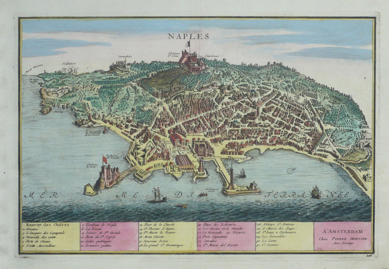
1702ref. LBW-1356Amsterdam Pierre Mortier 1702 226 x 338 mm.
2003ref. 496082003 PARIS,Le Livre Chez Vous/Lcv Editions - 2003 - fort In-4, 30 22 cm - Poids 2,5 Kilo -Cartonnage éditeur sous jaquette illustrée en couleurs - Richement illustré en N&B et couleurs, Dessins & Cartes - 599 pages - Très Bon Etat, bon exemplaire, comme neuf - Réf. 49608
1947ref. 76707Couverture souple. Broché. 375 pages. Papier bruni. Non coupé. Couverture légèrement défraîchie (Rousseurs. )
1979ref. 498921979 PARIS, Stock - 1972 - 1 ère edition - In-4, 28 x 25,5 x 3 cm -. Reliure d'édition de pleine percaline satinée olive, sous jaquette illustrée défraîchie - Plus de 300 illustrations NB , enrichies de 45 planches couleurs, certaines PP - 204 pages - Bel exemplaire - JOINT: coupures de journaux - Réf. 49892