[ANONYME].Livre Rare Book

12.176 resultados
1865ref. LBW-6631[vers 1865]. En 18 sections montées sur toile et pliées, de 58 x 91 cm.
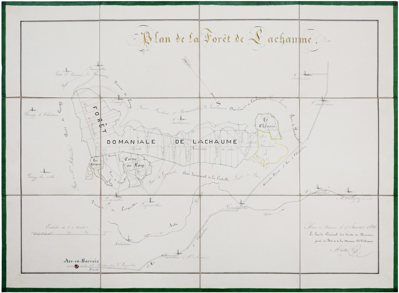
ref. LBW-656217 janvier 1846. En 12 sections montées sur toile et repliées, formant une carte de 44 x 60 cm ; sous chemise de papier marbré bleu et étui de papier vert, avec une étiquette de l'époque portant le titre manuscrit.
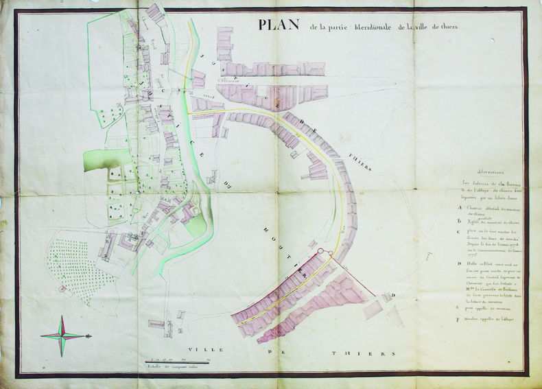
1780ref. LBW-6561[vers 1780]. 53 x 70,5 cm.
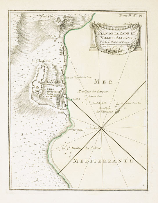
1764ref. LBW-6991764 227 x 176 mm.
1879ref. 17343Avignon Lagier-Fornery 1879 540 x 710 mm 1 feuille
ref. 14136Jamas, s.l., 1655 (1930-32). Grand plan divisé en 4 feuilles de 39 x 72 cm chacune. Quelques taches et une petite déchirure en marge.
1810Milano, Chez Bettalli, (ca. 1810). (56 x 84 cm.). Large engraved plan of Cadix and surroundings, sectioned in 8 and mounted on linen. Handcoloured. Gravé en Milan par Louis Rados. Some faint scattered brownspots.
1810ref. 56906Milano, Chez Bettalli, (ca. 1810). (56 x 84 cm.). Large engraved plan of Cadix and surroundings, sectioned in 8 and mounted on linen. Handcoloured. Gravé en Milan par Louis Rados. Some faint scattered brownspots.
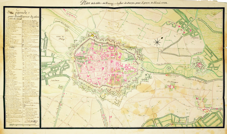
1731ref. LBW-41211731. En quatre feuilles jointes de 500 x 900 mm.
1889ref. LBW-5808Paris, 1889. 794 x 994 mm, monté sur toile, replié.
1702ref. LBW-1302Amsterdam Pierre Mortier 1702 229 x 334 mm.
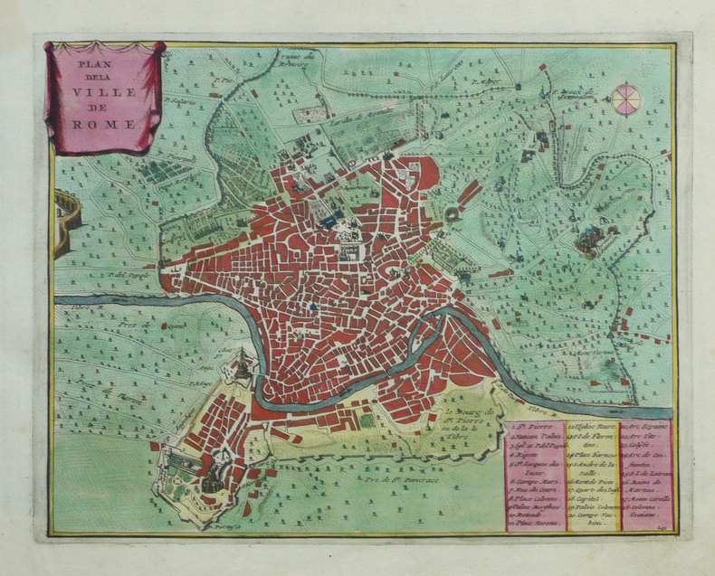
1788Rarissima pianta di Roma a proiezione verticale, orientata con il nord in alto.Prima edizione dell'opera, pubblicata a Parigi da Jean Lattré sulla base della pianta di Giovan Battista Nolli del 1748."Prima sconosciuta edizione della pianta incisa dal Lattré usando come modello quella del Nolli. La Pianta si presenta raccolta in una cornice campata a mano in giallo. Il titolo scritto in francese si trova sulla destra dell'incisione ed in fondo, dopo la dedica al monsignor Antoine Eleonor Leon, si legge la data 1788. La colorazione aggiunta manualmente consente di distinguere le antichità e le emergenze architettoniche campite in rosso, le chiese campite in azzurro e raffigurate in pianta con le uniche eccezioni di San Pietro e Castel Sant'Angelo campite in giallo. I lotti edificati sono delineati con una sottile linea perimetrale rosa. In basso a destra è presente una descrizione in lingua francese ed a destra una legenda di 170 numeri. La presente pianta venne ristampata nel 1801 dall'editore Jean (vedi Scaccia Scarafoni n. 247)" [cfr. Marigliani p. 296].Il solo esemplare noto nelle raccolte pubbliche è quello alla Biblioteca Apostolica Vaticana, mentre della ristampa del 1801 esiste quello della collezione della Biblioteca Nazionale di Roma.Acquaforte, finemente colorata a mano in epoca, piccoli restauri nei margini laterali, per il resto in ottimo stato di conservazione. Very rare map of Rome with vertical projection, oriented with the north at the top.First edition of the work, published in Paris by Jean Lattré and based on the map by Giovan Battista Nolli (1748).The title written in French is on the right of the engraving and at the bottom, after the dedication to Monsignor Antoine Eleonor Leon, the date 1788. The coloring added manually allows to distinguish the antiquities and architectural emergencies campite in red, the churches campite in blue and represented in plan with the only exceptions of St. Peter and Castel Sant'Angelo campite in yellow. The lots built are outlined with a thin pink perimeter line. At the bottom right there is a description in French and on the right a legend of 170 numbers. The present map was reprinted in 1801 by the publisher Jean (see Scaccia Scarafoni n. 247 and Marigliani p. 296).The only known exemplar in the public collections is that of the Vatican Library, while the reprint of 1801 is that of the collection of the Biblioteca Nazionale of Rome.Etching, fine original colouring, small restorations in the lateral margins, otherwise excellent condition. C. Marigliani, "Le Piante di Roma delle collezioni private", n. 218; Scaccia Scarafoni, "Le Piante di Roma", n. 247.
1702ref. LBW-1354Amsterdam Pierre Mortier 1702 232 x 295 mm.
ref. 13279s.d. (XIXème). Plan manuscrit aquarellé (41 x 26 cm), légende des lieux en marge.
1824ref. LBW-1064[1824]. 182 x 212 mm.
1750Paris, s.e., s.d. (vers 1750); 220/265 mm, 1 pp., une feuille. Plan provenant certainement d'un livre de voyage du XVIIIème siècle. Bon état.
1750ref. A167Paris, s.e., s.d. (vers 1750) ; 220/265 mm, 1 pp., une feuille. Plan provenant certainement d'un livre de voyage du XVIIIème siècle. Bon état.
1745ref. LBW-26711745. 302 x 436 cm.
ref. 218540Toulon, Rumèbe, s.d. (c. 1860) 48 x 56, replié au format in-12, sous couverture imprimée. Déchirure à la couverture.
18601 carte dépliante format 64 x 48 cm, B. Rumèbe, Toulon, s.d. (seconde partie XIXe siècle) Bon exemplaire Français
1860ref. 555691 carte dépliante format 64 x 48 cm, B. Rumèbe, Toulon, s.d. (seconde partie XIXe siècle)
ref. 14135Carte de 40 x 49 cm (52 x 63 cm avec marges) de la ville dYpres.
1 feuille 52 x 42 cm. 1 pli r?par?.
1820Paris, Jean, 1820. (55 x 76 cm.). Engraved plan of Lille with explanatory text on both sides. At bottom inserted ""Vue de Lille du costé de la Porte de Paris"".
1820ref. 54705Paris, Jean, 1820. (55 x 76 cm.). Engraved plan of Lille with explanatory text on both sides. At bottom inserted ""Vue de Lille du costé de la Porte de Paris"".