BERNARD (A.).Livre Rare Book
12.176 resultados
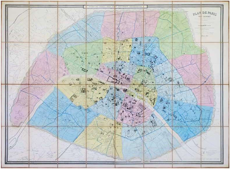
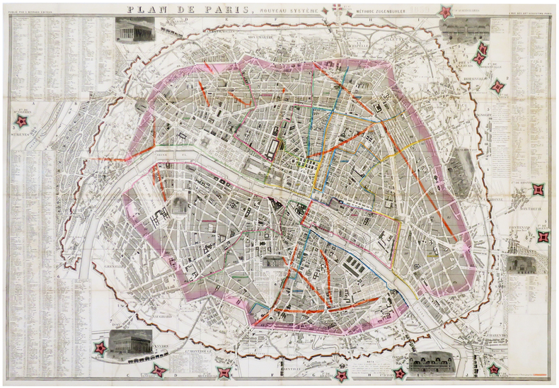
1859ref. LBW-6180Paris, A. Bernard, 1859. En 40 sections jointes formant un plan de 580 x 855 mm.
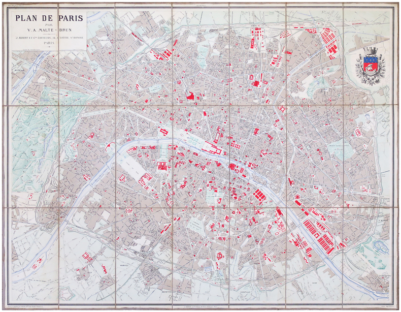
1893ref. LBW-6861Paris, J. Rouff et C.ie, [1893]. En 21 sections montées sur toile et pliées, formant un plan de 0,81 x 1,03 m.
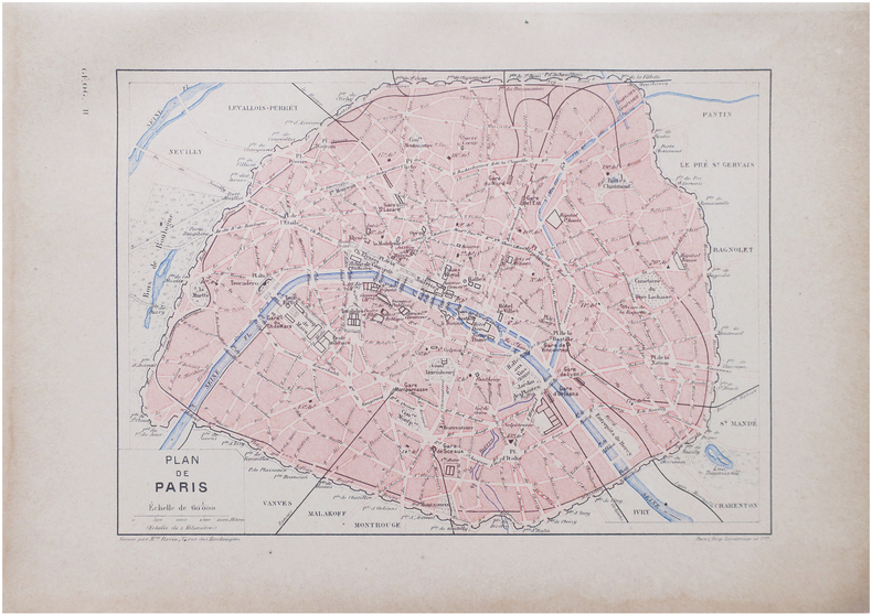
1890ref. LBW-8638Paris, [1890]. 163 x 225 mm.
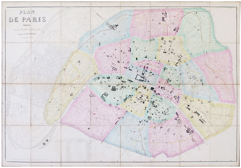
1866ref. LBW-57801866. En 32 sections montées sur toile et pliées, formant une carte de 0,80 x 1,14 m ; étiquette de l'éditeur Lanée au dos de la carte ; sous étui de papier marbré.
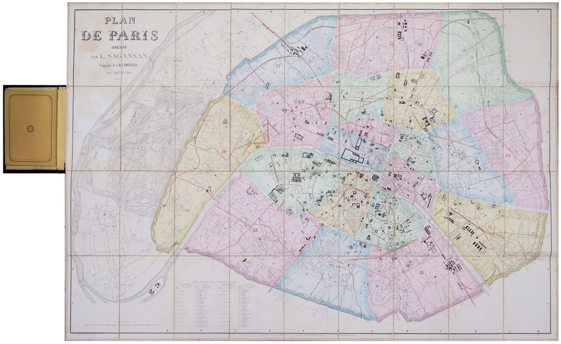
1860ref. LBW-6199Paris, chez l'auteur, 1860. En 36 sections montées sur toile et pliées, formant un plan de 0,79 x 1,14 m ; monté dans sa reliure éditeur en percaline noire (20,5 x 13 cm), contenant une nomenclature des rues de 104 pages ; titre en lettres dorées sur le premier plat.
1860ref. LBW-7971Paris, E. et D. Kaeppelin, et la Revue Municipale, 1860. En 32 sections montées sur toile et repliées, formant un plan de 0,98 x 1,29 m.
1947Broch?. 11 pages. Plan 75x56 cm.
1870Pianta tratta dalla monumentale opera di Felix Benoist Rome dans sa grandeur. Vues, monument ancient et modernes stampata a Parigi in 3 volumi, da Henri Charpentier, nel 1870. La pubblicazione, illustrata da 100 litografie, fu preceduta da una campagna di disegni preparatori, a far data dal 1864 sino al 1869, eseguita soprattutto da Félix Benoist e in parte da Philippe Benoist. Alla vigilia del Concilio Ecumenico Vaticano I, l’11 agosto 1869, Pio IX decretava la realizzazione di una Esposizione romana delle opere d’ogni arte eseguite per il culto cattolico, che venne inaugurata, il 17 febbraio 1870, nel chiostro della Certosa di Santa Maria degli Angeli. In quell’occasione, vennero presentati i tre volumi in folio Rome dans sa grandeur. I volumi, rilegati in modo sfarzoso, con impresso al centro in oro, lo stemma di Pio IX, sono suddivisi in tre sezioni. Il primo volume tratta di Roma antica, il secondo, di Roma cristiana, ed il terzo, dei monumenti e le realizzazioni della Roma moderna. Una visione preziosa della Roma papale alla vigilia della profonda trasformazione di Roma in capitale dell’Italia unita. Un documento che evidenzia la notevole impronta lasciata da Pio IX nella Città Eterna. L’opera rappresenta il capolavoro dell’artista francese, dove ogni veduta è realizzata in litografia tinta, processo ottenuto usando un diverso numero di pietre. Il risultato è un’opera di grande effetto, tanto da porre il Benoist tra la schiera dei più grandi artisti di interni e vedute del suo tempo. Litografia tinta, finemente colorata a mano, in ottimo stato di conservazione. Map taken from the monumental work of Felix Benoist Rome dans sa grandeur. Vues, monument ancient et modernes printed in Paris in 3 volumes, by Henri Charpentier, in 1870. The publication, illustrated by 100 lithographs, was preceded by a campaign of preparatory drawings, from 1864 to 1869, executed mainly by Felix Benoist and partly by Philippe Benoist. On the eve of the First Vatican Ecumenical Council, August 11, 1869, Pius IX decreed the creation of the Esposizione romana delle opere d’ogni arte eseguite per il culto cattolico (a Roman Exhibition of the works of art created for Catholic worship), which was inaugurated on February 17, 1870, in the cloister of the Charterhouse of Santa Maria degli Angeli. On that occasion, the three volumes in folio Rome dans sa grandeur were presented. The volumes, magnificently bound, with the coat of arms of Pius IX stamped in gold in the center, are divided into three sections. The first volume deals with ancient Rome, the second with “Christian” Rome, and the third with the monuments and achievements of modern Rome. A precious vision of papal Rome on the eve of the profound transformation of Rome into the capital of united Italy. A document that highlights the remarkable imprint left by Pius IX in the Eternal City. The work represents the masterpiece of the French artist, where each view is made in tinted lithography, a process achieved by using a different number of stones. The result is a work of great effect, so much so as to place Benoist among the ranks of the greatest artists of interiors and views of his time. Tinted lithograph, finely hand-colored, in excellent condition.
1738Pianta di Roma antica disegnata da Jean-Baptiste Bourguignon D'anville per la Storia romana del Rollin. Histoire romaine depuis la fondation de Rome jusqu'à la bataille d'Actium di Charles Rollin divenne una tra le opere più durature dedicate alla storia romana, impreziosita da alcune carte geografiche inserite nell'Atlas de géographie ancienne pour servir à l'intelligence des oeuvres de Rollin: gravé d'après les cartes originales de d'Anville. Incisione in rame, consuete pieghe di carta, in ottimo stato di conservazione. Pianta di Roma antica disegnata da Jean-Baptiste Bourguignon D'anville per la Storia romana del Rollin. Histoire romaine depuis la fondation de Rome jusqu'à la bataille d'Actium di Charles Rollin divenne una tra le opere più durature dedicate alla storia romana, impreziosita da alcune carte geografiche inserite nell'Atlas de géographie ancienne pour servir à l'intelligence des oeuvres de Rollin: gravé d'après les cartes originales de d'Anville. Incisione in rame, consuete pieghe di carta, in ottimo stato di conservazione.
1700ref. LBW-3460[début du XVIIIe siècle]. 370 x 475 mm.
1702ref. LBW-1301Amsterdam Pierre Mortier 1702 226 x 331 mm.
ref. 9372S. l., Croisey (graveur), sd. (1764). Plan gravé de 23,5 x 34,5 cm (cuvette), avec de belles marges et rehauts de couleurs.
ref. 9375S. l., Croisey (graveur), sd. (1764). Plan gravé de 23,5 x 34,5 cm (cuvette), avec marges.
1710ref. LBW-4193[circa 1710]. En 2 feuilles jointes de 510 x 715 mm.
1813ref. LBW-65901813. 27 x 41 cm, sur une feuille de 30,5 x 46 cm.
1750ref. LBW-4194[circa 1750]. En 2 feuilles jointes de 435 x 600 mm, sur papier fin huilé.
1764ref. LBW-7041764 222 x 178 mm.
1741ref. LBW-429Paris, Mr. de Beaurin, 1741. 263 x 338 mm.
1740ref. LBW-4176[circa 1740]. 380 x 500 mm.
1810ref. LBW-736[circa 1810]. 240 x 335 mm.
1810ref. LBW-6605[vers 1810]. 16,5 x 22,5 cm, sur une feuille de 21,5 x 25,6 cm.
ref. 232205(XVIIIème siècle) 48.5 x 63.5 cm (à vue) - 52.5 x 68 cm ( cadre) , cadre en bois verni. Déchirures dans la partie supérieure n'atteignant pas la composition. Insolé.
1880Mehrfach gefalteter Plan (84:102 cm). In Halbleinenmappe mit aufgezogenem bedrucktem Originalumschlag. Qu.-Folio. Für die Topographie Wiens im 16. Jhdt. bedeutender Plan. Tadellos erhalten. Gugitz 12.564.
1720ref. 31211Nürnberg, ca. 1720. 49,5x58,5 cm. Kobberstukket kort over Oslofjorden med den danske og svenske flåde i søslag ved Svinesund og visende Karl XII' lejr ved Tistedalsfjorden. I samtidig fuld håndkolorereing. I højre side 2 rifter uden tab. Foldningen forstærket på bagsiden. Bred kobberstukken ramme og stor kartouche (kartouchen ukoloreret).
1720Nürnberg, ca. 1720. 49,5x58,5 cm. Kobberstukket kort over Oslofjorden med den danske og svenske flåde i søslag ved Svinesund og visende Karl XII' lejr ved Tistedalsfjorden. I samtidig fuld håndkolorereing. I højre side 2 rifter uden tab. Foldningen forstærket på bagsiden. Bred kobberstukken ramme og stor kartouche (kartouchen ukoloreret).