12.535 resultados
19308vo., folding coloured map on cloth measuring 28 x 34 inches (approx. 71 x 86 cms) folding in 32 panels to 7 x 4.5 inches (approx. 18 x 12 cms); strongly bound in burgundy cloth, upper board lettered in gilt, marbled endpapers, a near fine copy. VERY SCARCE IN THIS CONDITION.
1857ref. 32586Edward Stanford London unknown circa 1857 First Edition thus. Paperback. maps show slight toning a few stains & marks to back of linen otherwise in very good condition case bumped and rubbed with scuffed corners. approximately 54 x 54 inches. dissected linen backed colour map in two parts: North - from Konigr Ungar & Scharzes Meer to Serbia Bulgarien and Schwarzes Meer: South - Vusitrin & Griechenland to Scharzes Meer Meer von Marmara Kleinasien & Archiplagus Weiss. Both 71 X 137 cm legend in English on the North map boundaries carriage trails battlefields harbours in German scale of English miles 69 to one degree boxed set linen backed maps with marbled paper ends cloth covered slipcase Edward Stanford hardcover
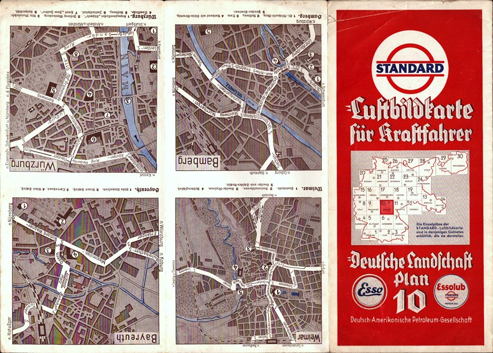
1935ref. 88279München, F. Bruckmann, [ca. 1935. Mehrfach gefalt. farbige Luftbildkarte im Maßstab 1:250.000. Kartengröße: 48 x 45 cm, Falzgröße: 24 x 11,3 cm.
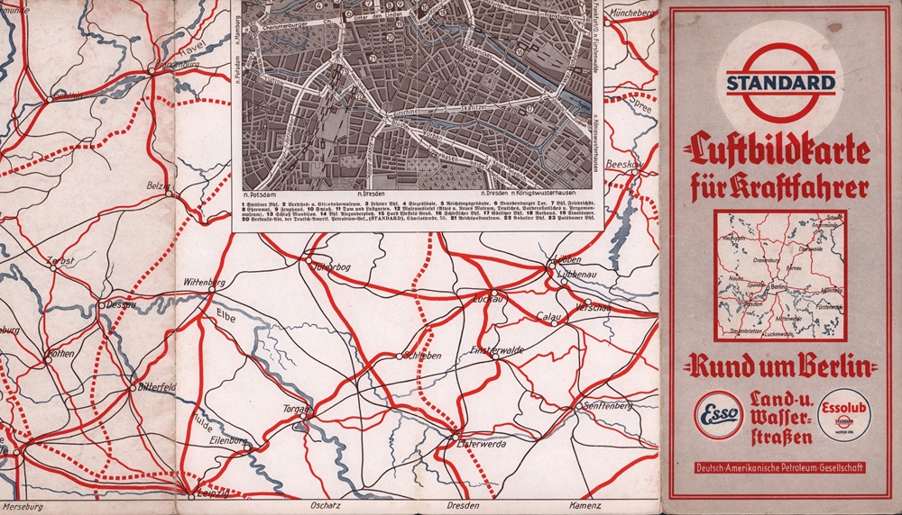
1935ref. 88280München, F. Bruckmann, [ca. 1935. Mehrfach gefalt. farbige Luftbildkarte im Maßstab 1:500.000. Kartengröße: 37 x 34 cm, Blattgröße: 48 x 45 cm, Falzgröße 24,2 x 11,4 cm.
1975No marks or inscriptions. Small crease to lower front corner. A very clean very tight booklet with unmarked very slightly rubbed covers and no bumping to corners. 71pp. History, facilities and description of the areas of Staffordshire and the Peak. Very well illustrated.
Format (Bidbereich): 41 x 60,5 cm. Blattgröße: 48 x 69 cm. *"Enthaltend die Quartiere du Roule, des Champs Elysées, de la Place Vendóme, des Tuileries, St. Germain du Luxembourg, de la Sorbonne; des Marches, St. Martin des Champs; St. Avoye, de Popincourt, de`l Hotel du Ville, Jardin du Roi". Am Unterrand: "Profile der merkwürdigsten Gebäude". - Sauber und gut erhalten. Graphiken de
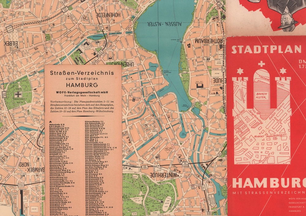
1966ref. 88180Frankfurt a.M. Wofe-Verlags-Gesellschaft, [1966]. Mehrfach gefalteter, farbiger Plan. Maßstab: etwa 1:6.000. Kartenmaß 47 x 67 cm, gefaltet 24,2 8 cm.
1954ref. 88618Hamburg, Flemmings Verlag Kartographisches Institut, [ca. 1954]. Maßstab 1:15.000. Kartenmaß: 46 x 43 cm. Blattmaß: 55,5 x 46,5 cm. Falzmaß: 14 cm.
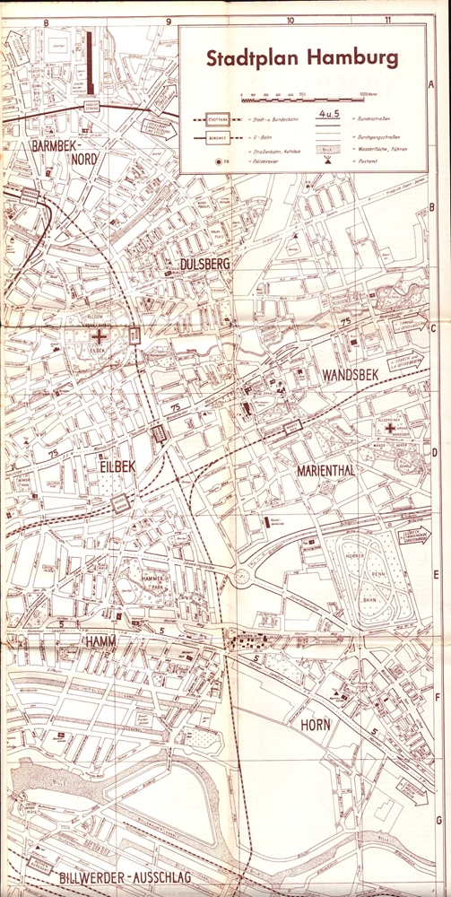
1960ref. 88380(Braunschweig, WOFE-Verlagsgesellschaft), [1960]. Faltplan im Braundruck. (= Zu: WOFE Stadtführer Hamburg, 2. Aufl.). Kartenmaß 45,5 x 63,5 cm. Gefaltet 15,3 x 11,3 cm.
1967One colour map, french german and english text. eng
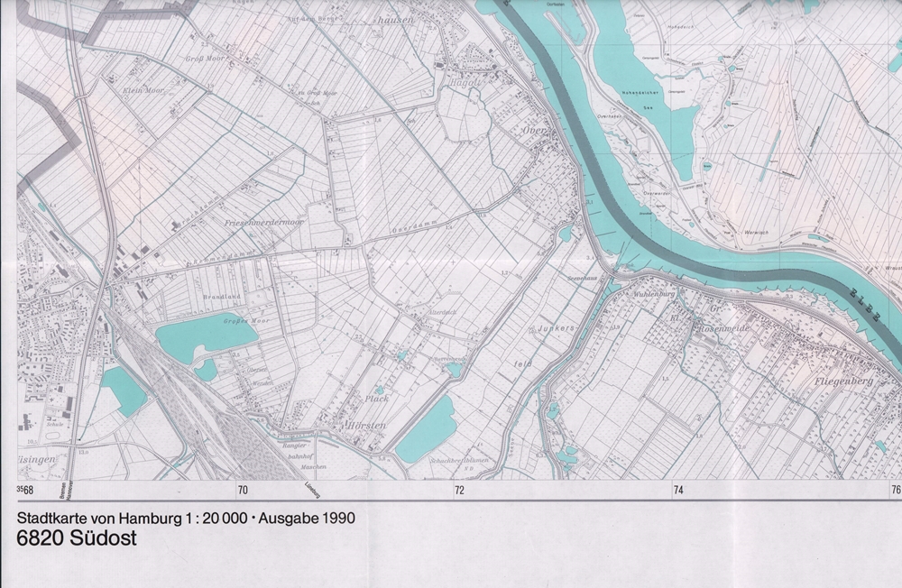
1990ref. 88233(Hamburg, Landesbetrieb Geoinformation und Vermessung), 1990. Mehrfach gefalt., 2-farb. Landkarte, Maßstab 1:20.000. Blattmaß 68,5 x 101 cm.
1930ref. AUB-6009Association des stations balnéaires suisses ... s.d. (vers 1930). Bel exemplaire broché, couverture ornée d'éd., gd in-8, 66 pages.
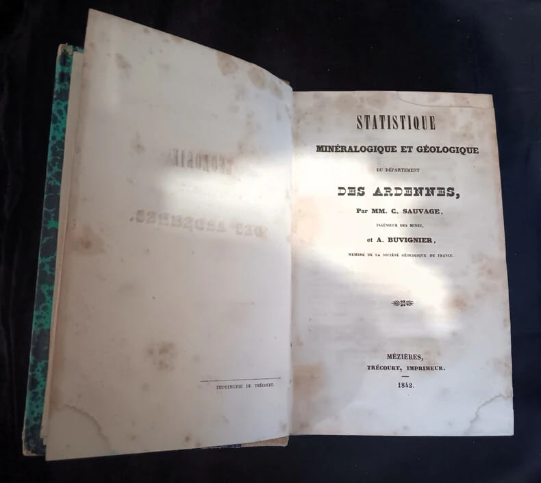
1842ref. 671842 in8 reliure dos toilé à pièce de titre papier, plats marbrés, 5 planches nb et couleurs dépliantes in fine
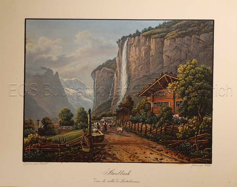
1835ref. 625DGO.O., um 1835. Aquatinata von Lukas Weber (1811-1860). Bildgrösse: 13,1 x 17,3 cm. Blattgrösse:17,3 x 22,1 cm.
1764(København, 1764). Kobberstukket prospekt af kirken set fra Nørregade med folk og heste i gaden. (16,5X24,5 cm.).
1870London, Glasgow & Edinburgh ca. 1870. Coloured lithograph showing a bird's eye view of the city. 22 x 28 cm. Framed and matted.
1764(København, 1764). Kobberstukket prospekt af kirken. (17,5x25 cm.).
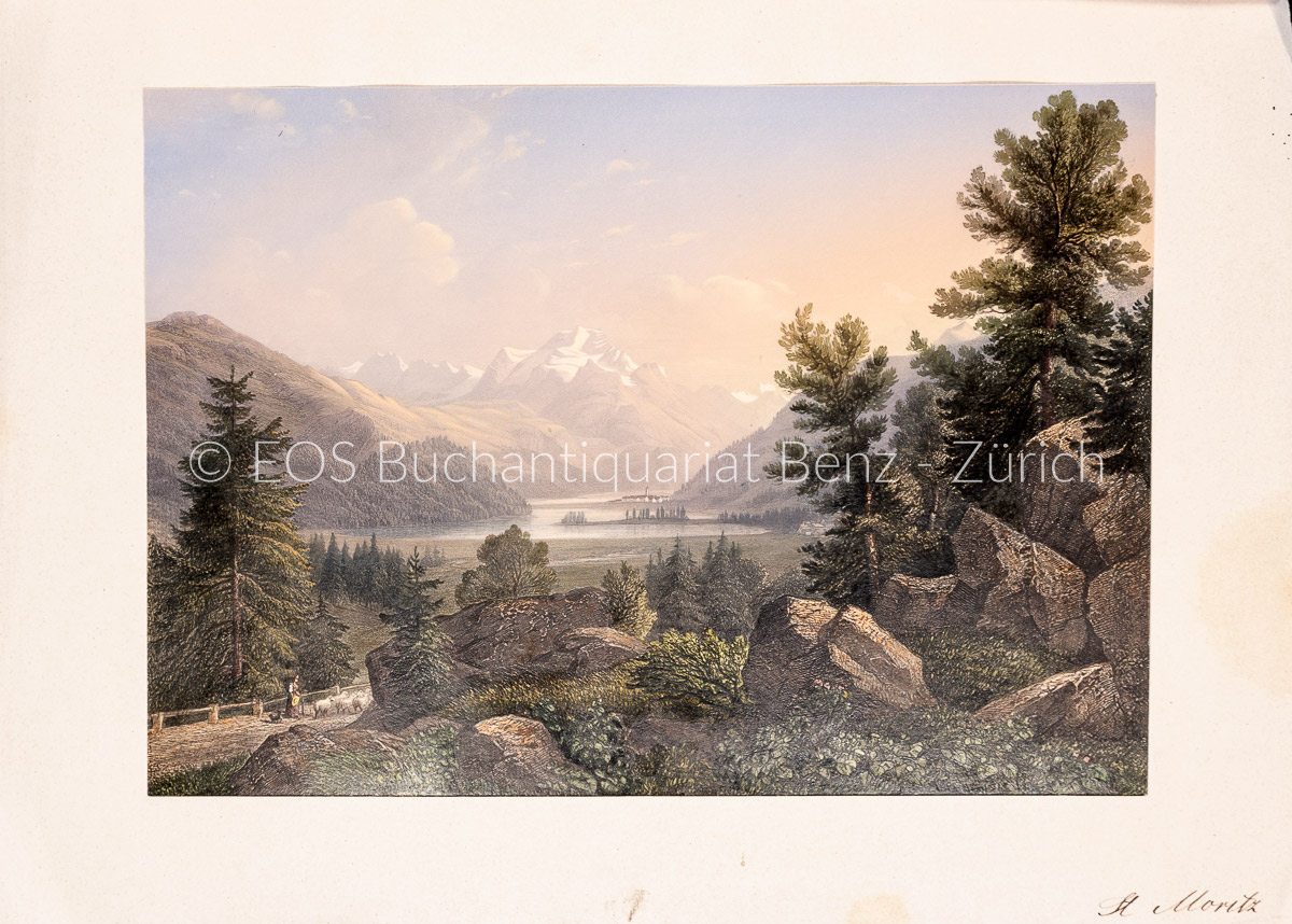
1840ref. 1764AGZürich., J.J. Ulrich., ca. 1840. Altkolorierter Stahlstich von R.Huber. Blattformat: 16 x 23 cm. + Wichtig: Für unsere Kunden in der EU erfolgt der Versand alle 14 Tage verzollt ab Deutschland / Postbank-Konto in Deutschland vorhanden +, A
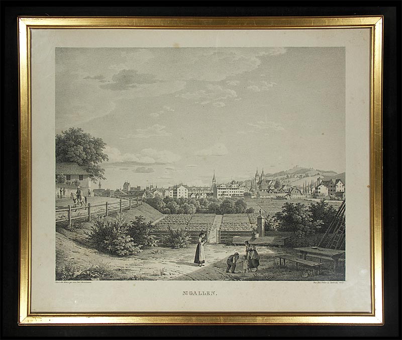
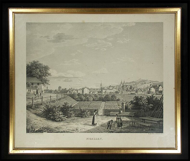
1827ref. 364DGCarlsruhe, Joh. Velten, 1827. Lithographie. Bildformat: 42 x 50 cm. + Wichtig: Für unsere Kunden in der EU erfolgt der Versand alle 14 Tage verzollt ab Deutschland / Postbank-Konto in Deutschland vorhanden +, 364D-Gr
1840ref. 1764AGZürich. J.J. Ulrich. ca. 1840. Altkolorierter Stahlstich von R.Huber. Blattformat: 16 x 23 cm.
1764ref. 34599(København, 1764). Kobberstukket prospekt af kirken set fra Nørregade med folk og heste i gaden. (16,5X24,5 cm.).
1764ref. 34606(København, 1764). Kobberstukket prospekt af kirken. (17,5x25 cm.).
ref. 2202.1aaf8x 25.5x12 cm, Leporello, gefalt. gest. Karte vom Gotthardgebiet u. Berner-Oberland in 8 Teilen, je 25x12 cm auf Lwd aufgezogen, Besitzvermerk auf Karte ‘Victor & Alfred Cérésole. Lausanne & Vevey), Lwd.
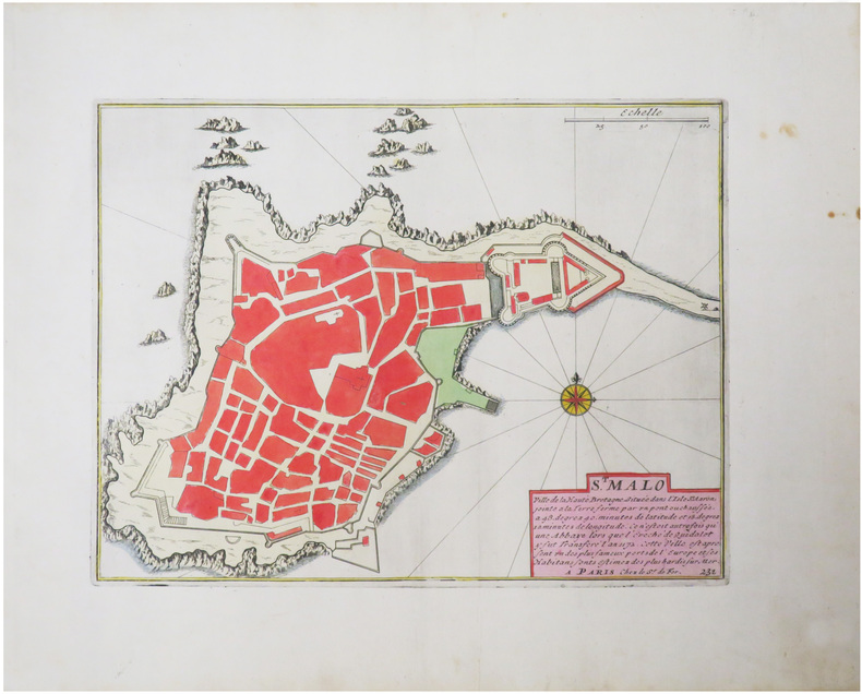
1702ref. LBW-1334[Amsterdam, Pierre Mortier, 1702]. 210 x 277 mm.
1827ref. 364DGCarlsruhe, Joh. Velten, 1827. Lithographie. Bildformat: 42 x 50 cm.