MALBOS (Eugène de);Livre Rare Book
12.535 resultados
1843ref. LBW-653Toulouse 1843 230 x 455 mm.
ref. LBW03d67Paris Benard circa 1850 217 x 290 mm.
1870ref. 38865London, Glasgow & Edinburgh ca. 1870. Coloured lithograph showing a bird's eye view of the city. 22 x 28 cm. Framed and matted.
ref. 14270Macon, Combier, Coll. Reboul, s.d. (vers 1930), 1 carte postale de 14 x 9 cm.
1861ref. 274331861 Edité par Paris, Gustave Barba, [s.d., 1861], 1861,pli central,bon état.
ref. 1845878418.Gmap. Good. Access codes and supplements are not guaranteed with used items. May be an ex-library book. unknown
Paris, Institut Géographique National, 1935. Quadrillage kilométrique projection Lambert III. Escala 1:50.000. Mapa entelado y plegado. Buen ejemplar. Mapa en francés.
1939ref. 5250Neuchâtel, Chocolat Suchard S.A., coll. Mon cher pays - My liebi Schwyz, albums photos. Série XIX, 1939. Rare petite pochette au format 9 x 6 cm., premier plat ajouré, second plat imprimé, avec languette de fermeture. En très belle condition. 10 photographies en noir à collectionner. Il existait un volume éponyme dans lequel il s'agissait de les coller.
Large Folio. Coloured copper engraving.
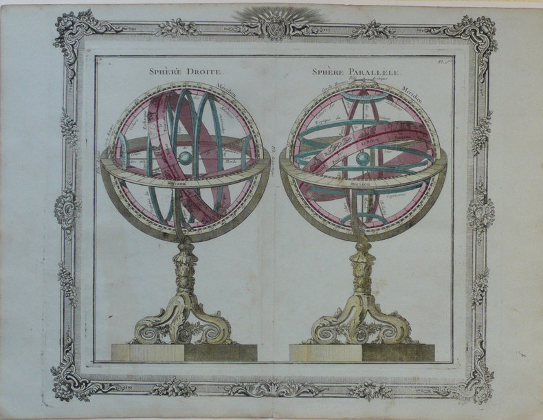
1772ref. LBW-1245Paris Desnos 1772 280 x 310 mm.
1654In -4° P. Pergamena, due volumi rilegati assieme: 8 cc + 248; 92 + 2 cc (Passiones)
ref. 0364915072.Ghardcover. Good. Access codes and supplements are not guaranteed with used items. May be an ex-library book. hardcover
1805Folio. Bladet, som omfatter både kort og tekst er trykt på svært skrivepapir og måler 49x64 cm., som udgivet. Den ene halvdel er kobberstukket og håndkoloreret (45x30 cm.) visende Christiansøe, Græs Holmen og Fridrichs Holm samt de omgivende skær med kompasrose og angivelse af vindretninger. Nederst på kortet Prospect af Christiansøe fra den sydlige side, alt indrammet af bred kobbertukket og håndkoloreret bort. Den anden halvdel af bladet har 1 sides foliotekst ""Beretning til Kaartet over Christiansøe og om Fyhret sammesteds, samt om Ankerpladserne under Bornholm""
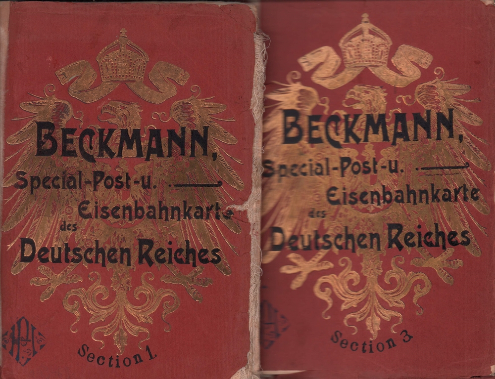
1905ref. 89469Stuttgart, Klemm und Beckmann, [ca. 1905]. Jeweils ein farbiger Faltplan (178 x 143 cm). Gr.-8vo. 23,5 cm. OKart. m. gold- u. schwarzgeprägtem VDeckel.
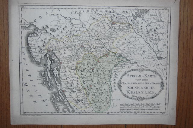
1789ref. 110616Wien, Reilly, ca. 1789. 22 x 29 cm (Blattgröße 24 x 32 cm).
1990Illustrated, maps. eng
1805ref. 24551Folio. Bladet, som omfatter både kort og tekst er trykt på svært skrivepapir og måler 49x64 cm., som udgivet. Den ene halvdel er kobberstukket og håndkoloreret (45x30 cm.) visende Christiansøe, Græs Holmen og Fridrichs Holm samt de omgivende skær med kompasrose og angivelse af vindretninger. Nederst på kortet Prospect af Christiansøe fra den sydlige side, alt indrammet af bred kobbertukket og håndkoloreret bort. Den anden halvdel af bladet har 1 sides foliotekst ""Beretning til Kaartet over Christiansøe og om Fyhret sammesteds, samt om Ankerpladserne under Bornholm""
1795ref. 118021795 toilée, étui. 1 carte pliante, 51 x 74 cms, Berlin, D.F. Sotzmann, 1795,
2001ref. 027476Hilversum 2001 Verloren Soft cover 1st Edition
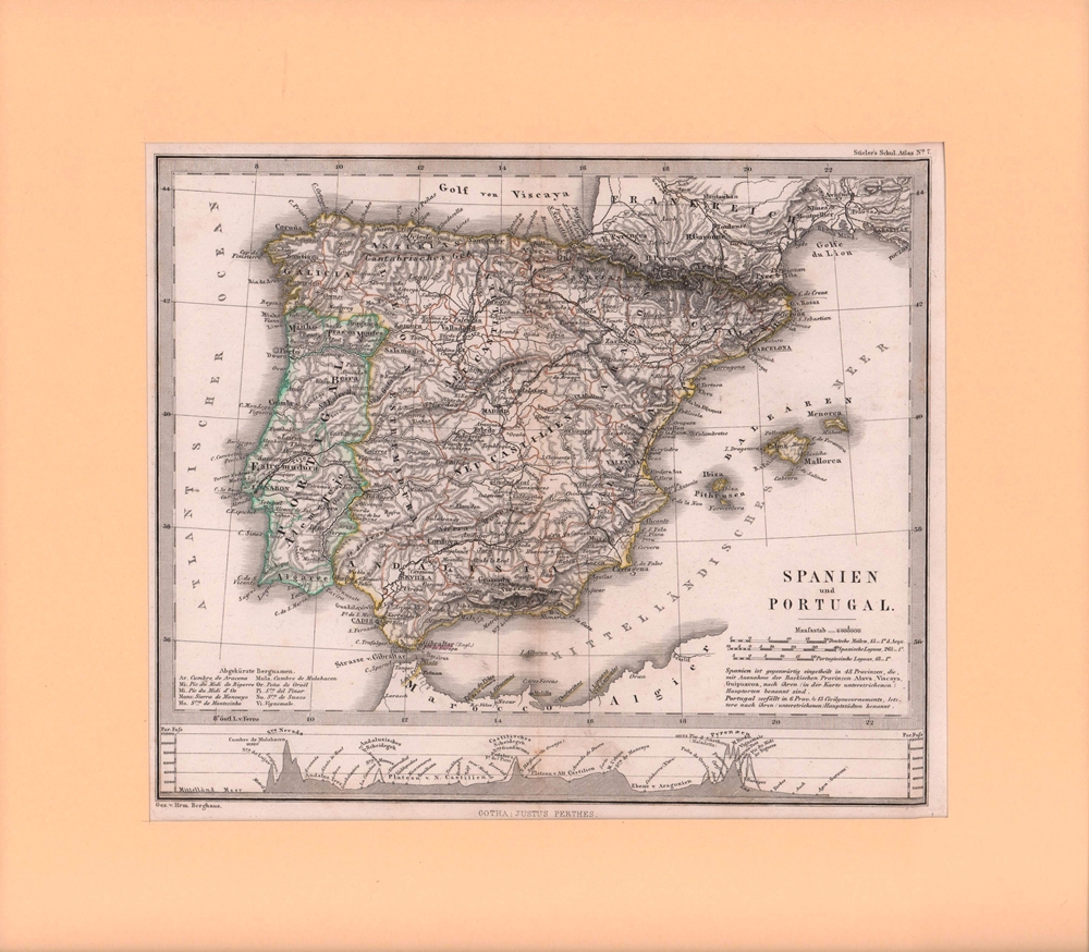
1860ref. 76906Gotha, Justus Perthes, [ca. 1860]. Bildgröße 19 x 23,5 cm. Unter Feinkartonpassepartout.
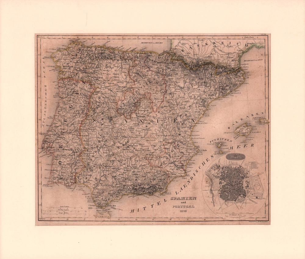
1850ref. 76901[Hildburghausen, Geograph. Anstalt des Bibliographischen Instituts], [ca. 1850]. Bildgröße 20,5 x 26 cm. Unter Feinkartonpassepartout.
1992Supplement to National Geographic, February 1992. eng
2001ref. SBBIH-XOYKKRTTDZ2JAutomobile Association 2001. map. Acceptable. Please see the condition note after this for details if this is missing please consider Acceptable to mean poor quality that could include major staining water damage writing missing dustjacket etc etc. Our books are dispatched from a Yorkshire former cotton mill. We list via barcode/ISBN so please note that the images are stock images and may not be the exact copy you receive furthermore the details about edition and year might not be accurate as many publishers reuse the same ISBN for multiple editions and as we simply scan a barcode or enter an ISBN we do not check the validity of the edition data when listing. If you're looking for an exact edition please don't order at least not without checking with us first although we don't always have time to check. We aim to dispatch prompty the service used will depend on order value and book size. We can ship to most countries see our shipping policies. Payment is via Abe only. Automobile Association unknown
ref. 43179ABEdinburgh u. London, W. Blackwood, o.J. Gr.-8°. 1 mehrfachgef. Kte. a. Leinwand gezogen. Leinwand. Vergold. Deckeltitel. Cloth. Gilt title on spine. Stark ber. u. best. Stock- u. fingerfl. Rubbed and bumped. Foxed and stained.
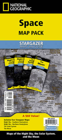
2024ref. 1-1566959594National Geographic Maps 2024. Paperback. New. 2024 map edition. 8 pages. 9.25x4.25x0.20 inches. National Geographic Maps paperback