Coupland, DouglasMareMagnum
Souvenir of Canada
2002book in as new condition. Soft covers with self-wraps. 143pp. An introduction to Canada, very well illustrated.

Godley Books · Reino Unido8,53 €
12.535 resultados
1977eng
2002book in as new condition. Soft covers with self-wraps. 143pp. An introduction to Canada, very well illustrated.
1956No marks or inscriptions. No creasing to covers or to spine. A lovely clean very tight copy with bright unmarked boards, slight rubbing to top of spine and no bumping to corners. 132pp.
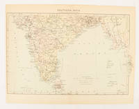
1910ref. 174841London. circa1910. Printed colour map on conjoined pages 22.3 x 33.7 railways submarine cables and heights above sea level marked faded but in very good condition. Map showing the ruling divisions by shading borders with Burma and the Andaman and Nicobar Islands also shown. . unknown
1975No marks or inscriptions. No creasing to covers or to spine. A very clean very tight copy with bright unmarked boards and no bumping to corners. Now protected in fully removable plastic sleeve. 64pp. Archaeological zones of Latium I-II - Southern Etruria. Very well illustrated tourist guide to archaeological sites in the area of Italy north-west of Rome. We do not use stock photos, the picture displayed is of the actual book for sale. Every one of our books is in stock in the UK ready for immediate delivery.
1930130 pages. Printed on glossy stock. Thirty-nine reproductions of black and white photos. Fifteen maps, four of which fold out. Heavily worn. Prior owner's lavishly handwritten details upon first blank leaf. Covers almost loose. Taped repairs to spine. Contains summaries of the work done, 1882-1928, by various expeditions, Church of England missions, the Royal Canadian Mounted Police, Dept. of the Interior and Geological Survey of Canada, in opening up the country, and providing new maps and information. [AB 2751] Book
1900ref. FG 2016-26International Geological Congress 1900. no dates but guessing early to mid 1900's - 21 Maps: 1.Route Map Hyattstown to Frederick MD plate 3 2.Route Map Frederick MD to Charles Town W VA plate 4 3. Geologic Map and Sections Area NE of Harpers Ferry W VA plate 5 4. Route Map Hagerstown MD to Cacapon Mountain W VA plate 6 5. Section along Route Hancock to Cumberland MD plate 10 6. Route Map and Sections New Creek W VA to Virginia State Line plate11 7. Route Map and Section W VA state line to Winchester VA plate 12 8. Route Map Winchester to Luray VA and Section across Shenandoah Valley and Massanutten Mountain Plate 13 9. Route Map and Sections Mount Jackson to Staunton VA plate 14 10. Route Map and Sections Staunton to Healing Springs VA plate 15 11. Route Map and Sections Helaing Springs to Lexington VA plate 16 12.Route Map Natural Bridge to Roanoke VA and Section through Read Mountain Fenster plate 18 13. Route Map and Sections Elliston to Glenlyn VA plate 19 14. Route Map Glenlyn to Lebanon VA plate 20 15. Route Map and Section Lebanon to Bristol VA plate 21 16. Route Map Bristol to Pennington Gap VA plate 22 17.Map and Section of Cumberland Overthrust Block plate 23 18. Route Map Cumberland Gap to Morristown TN plate 24 19. Generalized Map and Section of the Cherokee Mountain Klippe TN plate 25 20. Route Map Bristol VA to Mountain City TN and Section from Delaney Mountain to Mountain City plate 26 21. Map of Fenster in Overthrust Block of Rome Formation 3 Miles 4.8 Kilometers East of Wytheville VA Plate 27. Maps. Good. International Geological Congress Paperback
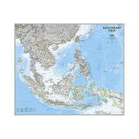
2013ref. 1-1597754447Natl Geographic Society Maps 2013. Map. New. lam map edition. 1 pages. 32.00x2.00x1.90 inches. Natl Geographic Society Maps unknown
ref. 0008445206.Gpaperback. Good. Access codes and supplements are not guaranteed with used items. May be an ex-library book. paperback
ref. 0008560579.Gpaperback. Good. Access codes and supplements are not guaranteed with used items. May be an ex-library book. paperback
1978No marks or inscriptions. Tiny creases to lower corners of covers. A very clean very tight booklet with slightly rubbed unmarked boards and no bumping to corners. 84pp. Well illustrated guide to the delights of South Wales.
ref. 0540087726.Gpaperback. Good. Access codes and supplements are not guaranteed with used items. May be an ex-library book. paperback
1999Light dusty marks to top page edges. No other marks or inscriptions. Very minor creasing to covers, none to spine. Clean bright boards with no bumping to corners. A lovely clean crisp tight copy. The contents appear to be 'as new' and never used. 168pp.
1960Supplement to National Geographic, February 1960. eng
2012ref. 1-0792250192Natl Geographic Society Maps 2012. Map. New. lam map edition. 1 pages. 25.00x2.00x1.20 inches. Natl Geographic Society Maps unknown
1900Washington, Underwood & Underwood, 1900 - 1901. 72 stereoscope card (177 x 90 mm) housed in the original book-like slipcase. Slipcase with wear. Cards fine and clean.
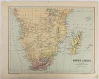
1877ref. 177228Edinburgh & London.: W. & A. K. Johnston. circa1877. Printed colour map 25 x 32.5 cm edge tears one affecting the lower border only two small chips from the upper margin corner repaired the map in very good condition. Map of North America with a small inset of the British Isles on the verso. Map of Southern Africa before the Scramble for Africa in the late 19th Century. . W. & A. K. Johnston. unknown
2014ref. 1-1597755893Natl Geographic Maps 2014. Map. New. lam map edition. 1 pages. 25.00x2.17x2.17 inches. Natl Geographic Maps unknown
1939ref. 2092902141000906Tokyo Mikuraku 1939. Soft Cover. Fine. The book is in fine condition. Tokyo Mikuraku paperback
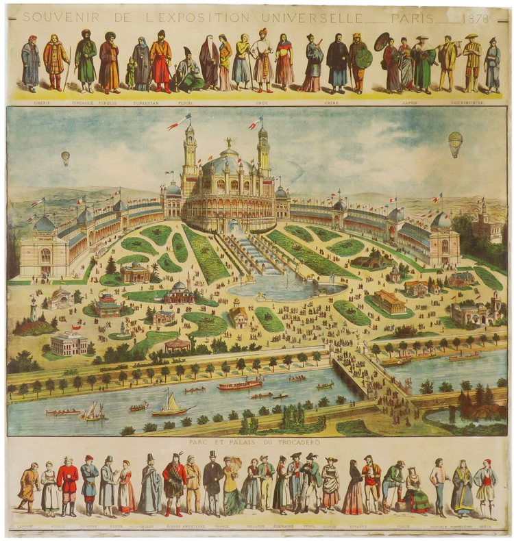
1878ref. LBW-68601878. 593 x 573 mm.
ref. 15197Paris, Levy, s.d. (fin XIXème ou début XXème), 1 br., couverture illustrée. carnet in-12 oblong de 12 cartes postales détachables, 1 feuillet de texte, serpentes ;
ref. 15202Lyon, Magasin de l'Oeuvre de Fourvière, s.d. (fin XIXème ou début XXème), 1 br., couverture illustrée. carnet oblong de 20 cartes postales, serpentes ;
ref. 4406Carte non utilisée, N&B | Etat : Très bon état (Ref.: JCP21)
ref. 4408Bouvet-Sourd, Toulon, n°243 de la série, N&B | Etat : Etat moyen (petite déchirure, sans manque) (Ref.: JCP23)
1976ref. 20881976 Paris, Galerie Marquet, 1976. 10,5 x 16,5 cm, 12 cartes postales détachables sous serpente, dont 6 sont imprimées (titre, préface de Claude Roy, biographie, expositions, bibliographie) et 6 autres illustrées (5 dessins en couleurs et un portrait photographique en noir montrant uniquement la moustache et la barbe de l'illustrateur), l'ensemble sous un cartonnage saumon de l'éditeur à plats rapportés, demi-toile imprimée au dos et titre doré au premier plat.