12.595 resultados
1764ref. 34546(København, 1764). Kobberstukket prospekt af Slangerup. (17x25 cm.). Fint frisk eksemplar trykt på skrivepapir.
1764ref. 53310(København, 1764). Kobberstukket prospekt af Slangerup. (17x24,5 cm.). Stukket af J. Haas. På skrivepapir. Lidt marginale brunpletter.
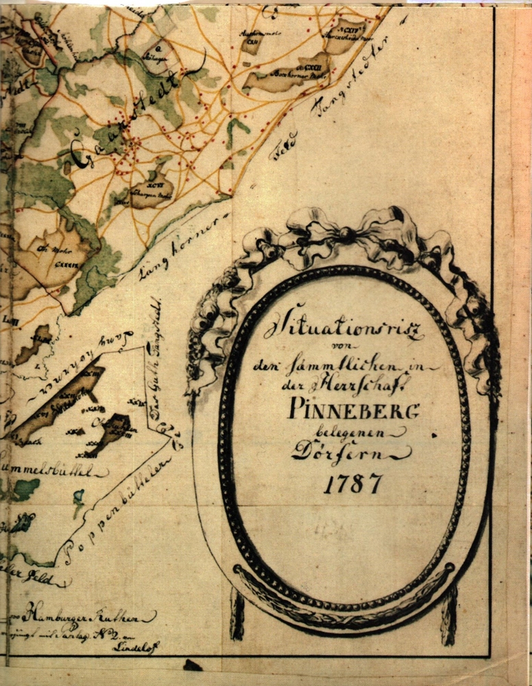
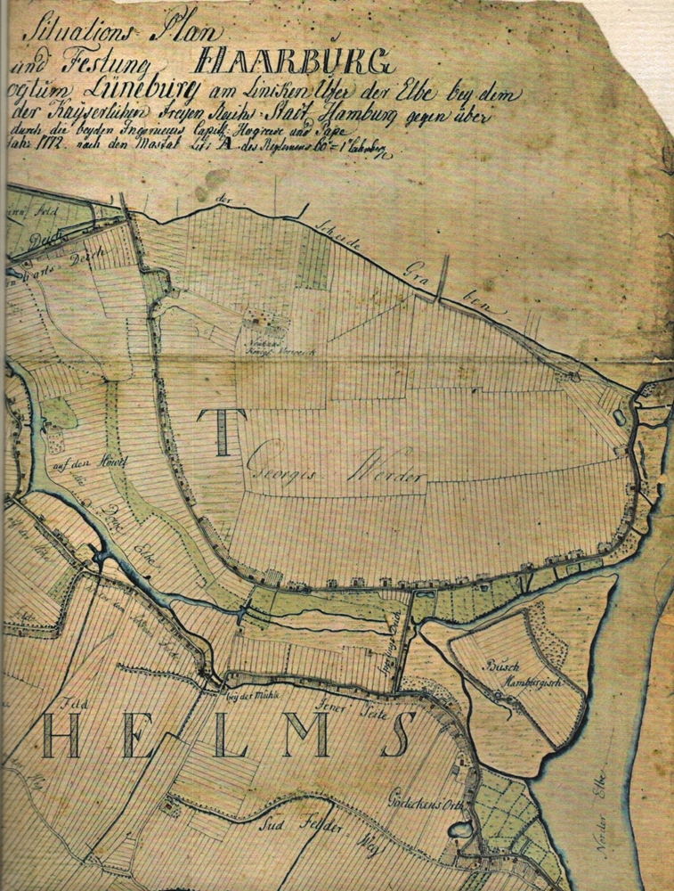
1758No place and date. (probably Denmark late 18th century). Handpainted map in ink and watercolour. 25 x 41 cm. In silver frame. Slightly foxed overall.
1758ref. 39179No place and date. (probably Denmark late 18th century). Handpainted map in ink and watercolour. 25 x 41 cm. In silver frame. Slightly foxed overall.
ref. 1851374078.Gmap. Good. Access codes and supplements are not guaranteed with used items. May be an ex-library book. unknown
2018ref. SBBI-mon0000059946Collins 2018. map. Good. Our good condition books are generally good for reading but not for gifting or collecting. They could have imperfections such as creasing fanning inscriptions margin notes yellowing staining on edge or cover or pages bumps scuffs etc etc sometimes multiple of these. It's a wide category that encompasses anything that isn't almost-new down to anything that is slightly better than poor. We would NOT recommend gifting Good books - these should be considered reading copies. Our books are dispatched from a Yorkshire former cotton mill. We list via barcode/ISBN so please note that the images are stock images and may not be the exact copy you receive furthermore the details about edition and year might not be accurate as many publishers reuse the same ISBN for multiple editions and as we simply scan a barcode or enter an ISBN we do not check the validity of the edition data when listing. If you're looking for an exact edition please don't order at least not without checking with us first although we don't always have time to check. We aim to dispatch prompty the service used will depend on order value and book size. We can ship to most countries see our shipping policies. Payment is via Abe only. Collins unknown
197536" x 25.5". Indicates 25 foot contours, water bodies, roads, rail lines, structures, etc. Light wear. Book
1902Outside dimensions 14.5" x 10.5". Circa 1902. Centerfold. Light wear. Bit of soiling along top edage. Please see our photo for details. Book
ref. 1334770395.Gpaperback. Good. Access codes and supplements are not guaranteed with used items. May be an ex-library book. paperback
1957ref. 74167brToronto: Macmillan 1957. Book. Near Fine. Hardcover. 1st Edition. 8vo - over 7¾ - 9¾" tall. Hardcover in dust jacket. Some fading and staining to jacket. Otherwise clean tight and unmarked. Very neat -- a sound and handsome copy. Maps. Note: bound without text on pp. 19-34 -- a scarce book offered nonetheless. xxviii277lacking19-34pp. Macmillan Hardcover
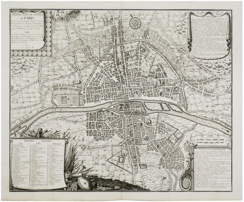
1720ref. LBW-5641[Paris, circa 1720]. 458 x 557 mm.
Engraved map, printed from two plates and assembled. Ca. 1065 x 390 mm (printed area ca. 1005 x 350 mm). Large and decorative map of the Holy Land, printed from two plate, from Christian van Adrichem's "Theatrum terrae sanctae et biblicarum historiarum". Van Adrichem's map is oriented toward the east and shows the twelve tribes of Israel on both sides of the River Jordan. The coastline runs from Sidon in Lebanon to Alexandria in Egypt, also showing part of the Red Sea. In the Mediterranean, off the coast, several ships and sea monsters are visible. On the Dead Sea are four burning cities: Sodom, Gomorrah, Zeboim, and Adama. - Folds smoothed and reinforced in places. A good, strong impression.
1985ref. 55437(Braunschweig, Archiv-Verlag), [ca. 1985]. 1 mehrfach gefalt. farb. Karte (Blattgröße 55 x 51 cm).
1988ref. 56129(Braunschweig, Archiv-Verlag), [ca. 1988]. 1 farb. mehrf. gefalt. Kte. Blattgröße 64 x 53 cm.
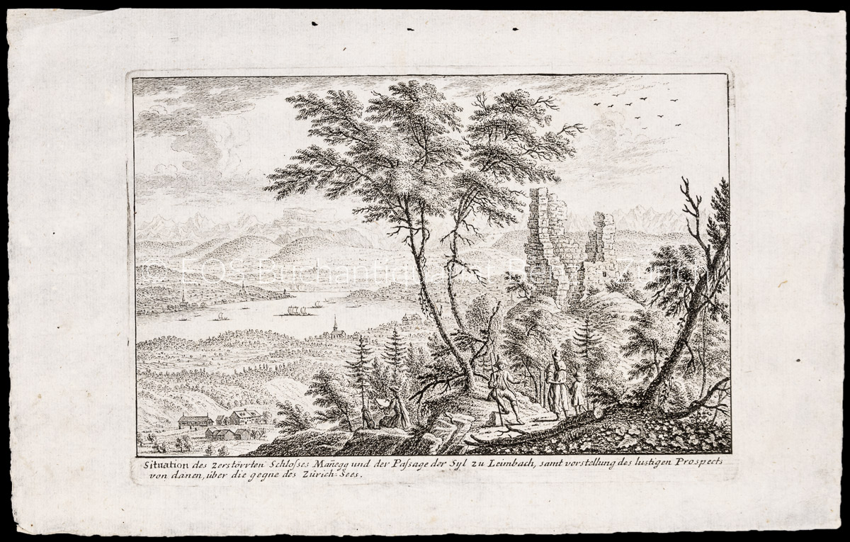
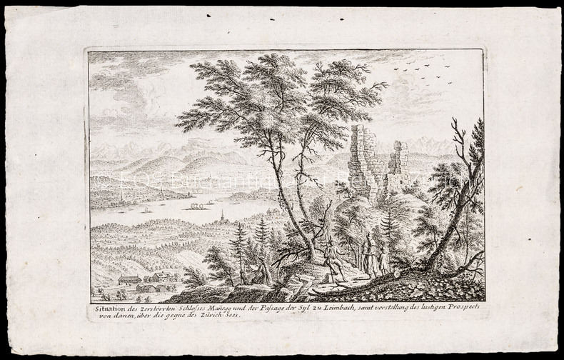
ref. 1006CGo.J. Radierung. Plattengrösse: 17,3 x 25 cm. Papiergrösse: 22 x 34,3 cm. + Wichtig: Für unsere Kunden in der EU erfolgt der Versand alle 14 Tage verzollt ab Deutschland / Postbank-Konto in Deutschland vorhanden +, A
ref. 1006CGRadierung. Plattengrösse: 17,3 x 25 cm. Papiergrösse: 22 x 34,3 cm.
ref. 23846République et Canton de Genève / Société de Banques Suisses.
1800ref. LBW-6564[vers 1800]. 24 x 38 cm environ.
2013ref. SBBIH-CSRDX7VJO4PYPopOut Maps 2013. map. Good. Our good condition books are generally good for reading but not for gifting or collecting. They could have imperfections such as creasing fanning inscriptions margin notes yellowing staining on edge or cover or pages bumps scuffs etc etc sometimes multiple of these. It's a wide category that encompasses anything that isn't almost-new down to anything that is slightly better than poor. We would NOT recommend gifting Good books - these should be considered reading copies. Our books are dispatched from a Yorkshire former cotton mill. We list via barcode/ISBN so please note that the images are stock images and may not be the exact copy you receive furthermore the details about edition and year might not be accurate as many publishers reuse the same ISBN for multiple editions and as we simply scan a barcode or enter an ISBN we do not check the validity of the edition data when listing. If you're looking for an exact edition please don't order at least not without checking with us first although we don't always have time to check. We aim to dispatch prompty the service used will depend on order value and book size. We can ship to most countries see our shipping policies. Payment is via Abe only. PopOut Maps unknown
2013ref. SBBIH-HVYSHSVIWKIDPopOut Maps 2013. map. Very Good. Most of our very good books have only minor imperfections such as shelf wear consistent with a new book that's sat on a bookshop shelf for a year or two. Occasionally we may miss other minor imperfections as we have to grade books at speed. Our books are dispatched from a Yorkshire former cotton mill. We list via barcode/ISBN so please note that the images are stock images and may not be the exact copy you receive furthermore the details about edition and year might not be accurate as many publishers reuse the same ISBN for multiple editions and as we simply scan a barcode or enter an ISBN we do not check the validity of the edition data when listing. If you're looking for an exact edition please don't order at least not without checking with us first although we don't always have time to check. We aim to dispatch prompty the service used will depend on order value and book size. We can ship to most countries see our shipping policies. Payment is via Abe only. PopOut Maps unknown
1978Inscription opposite half-title page. No other marks A very clean very tight copy with bright unmarked boards and no bumping to corners. Dust jacket not price clipped or marked with rubbing to all edges.and corners and small enclosed tear to rear fore edge. Unpaginated ca 150pp. Description, culture, history and travel around the Sinai Peninsula of Israel and the Gulf of Elat. Extremely well illustrated.
1860pp. lviii, 560, 32 [Publisher's catalogue] + Seven colored folding maps and five woodcut maps. Foxed. Offsetting from folding maps. Frontis folding map slightly torn at margin. Slight damp staining last signature. Bookplate of John D. Zimmerman. Large 8vo. 9 x 5 1/2 inches. Original full dark blue publisher's cloth binding. Gilt lettered spine. Bottom corner of front and rear boards damp stained. Hardbound. Arthur Penrhyn Stanley (1815-1881) was an English churchman, Dean of Westminster. He was a 'Broad Churchman' and was the author of various works on Church History. **PRICE JUST REDUCED! JUDAICA BOX 1
1922ref. 141712Couverture souple. Broché. 96 pages. Légèrement défraîchi. Rousseurs. Réparation à la carte de l'Anjou.
ref. 2606Carte (vous l'aurez compris) dépliante en couleurs. Photographies en noir et texte en 4 langues au verso. Petites déchirures (voir photos).
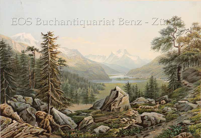
1860ref. 704CGZürich, Henri Füssli & Comp., um 1860. Altkolorierte Aquatinta auf festem Papier. 16 x 23,4 cm. + Wichtig: Für unsere Kunden in der EU erfolgt der Versand alle 14 Tage verzollt ab Deutschland / Postbank-Konto in Deutschland vorhanden +, bild