12.630 resultados
1942ref. 2083002116201149Oriental Maps Suzuki Harumi 1942. Soft Cover. Fine. The book is in fine condition. Oriental Maps Suzuki Harumi paperback
ref. Q-015181905XHarcourt Brace & Co. NY. hardcover. New. New. In shrink wrap. Looks like an interesting title! Harcourt Brace & Co., NY hardcover
1982Mm 150x225 Volume in copertina rigida originale, xv-378 pagine. Copia ottima, spedizione in 24 ore dalla conferma dell'ordine.
1954ref. BK0099Darmstadt Gemany: Stars and Stripes 1954. Folding pictorial map approximately 2 3¼ x 33 inches unfolded in original illustrated wrappers. OCLC 59284292. Near fine with some wear to wrappers. A wonderfully busy cartoon map of Frankfurt made for American servicemen stationed in Germany during the early Cold War. Byrel "Lefty" Burgess a career U.S. Army engineer and cartoonist fills the city with G.I.s military police beer halls historic buildings street jokes and visual gags while giving particular attention to the extensive American military presence in and around Frankfurt. American sites include barracks the 97th General Hospital WAC quarters Frankfurt High School the PX and residential areas occupied by servicemen and their families. The map ranges from Höchst and Bad Vilbel to Harheim and Offenbach mixing useful street information with caricatures and annotations. Burgess labels historic sites including the Saalhof Karmeliter Kloster Dominikaner Kloster and Drei Königs Kirche while military life and Frankfurt's drinking culture provide much of the humor. Along the upper edge references to places back home-including Texas Chicago Los Angeles Pike's Peak and the Rocky Mountains-reinforce the map's intended audience of Americans temporarily living overseas. Burgess served in the Army Corps of Engineers; he later produced a similarly humorous map of Seoul in 1957. OCLC 59284292. . Stars and Stripes unknown books
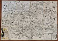
1954ref. BK0099Darmstadt Gemany: Stars and Stripes 1954. Folding pictorial map approximately 2 3¼ x 33 inches unfolded in original illustrated wrappers. OCLC 59284292. Near fine with some wear to wrappers. A wonderfully busy cartoon map of Frankfurt made for American servicemen stationed in Germany during the early Cold War. Byrel "Lefty" Burgess a career U.S. Army engineer and cartoonist fills the city with G.I.s military police beer halls historic buildings street jokes and visual gags while giving particular attention to the extensive American military presence in and around Frankfurt. American sites include barracks the 97th General Hospital WAC quarters Frankfurt High School the PX and residential areas occupied by servicemen and their families. The map ranges from Höchst and Bad Vilbel to Harheim and Offenbach mixing useful street information with caricatures and annotations. Burgess labels historic sites including the Saalhof Karmeliter Kloster Dominikaner Kloster and Drei Königs Kirche while military life and Frankfurt's drinking culture provide much of the humor. Along the upper edge references to places back home-including Texas Chicago Los Angeles Pike's Peak and the Rocky Mountains-reinforce the map's intended audience of Americans temporarily living overseas. Burgess served in the Army Corps of Engineers; he later produced a similarly humorous map of Seoul in 1957. OCLC 59284292. . Stars and Stripes unknown
1982Fair English Paperback. Pbo. Roy. 8vo. (23 x 16 cm). In Turkish. With folding plans. Navigational maps, nautical charts and publications catalogue of department of course, hydrography and oceanography of Naval Forces. Seyir, Hidrografi ve Osinografi Dairesi Baskanligi seyir haritalari ve notik yayinlar katalogu.
1973Inscribed on title page from the Chief Minister James R Mancham to Tom Pendry MP. No other marks or inscriptions to contents. No creasing to covers or to spine. A very clean very tight copy with bright cream boards, faint coloured mark to rear and no bumping to corners. 128pp. An account of the Islands of the Seychelles published for the visitor. Very well illustrated. Text in English and French.
ref. 0007538987.Gspiral_bound. Good. Access codes and supplements are not guaranteed with used items. May be an ex-library book. unknown
ref. 2308220004Doubleday Doran & Company. hardcover. Good. 0x0x0. states "first publication for general circulation 1935" yet title page states 1936 - Doubleday Doran hard cover - red cloth cover - no dust jacket - 1 1/2 inch cut at binding - some staining to cover and closed page edge - gift inscription inside front cover - owner's label inside front cover - a number of illustrations throughout - dingins trong contents clean - enjoy Doubleday, Doran & Company hardcover
1969IN HEBREW. CONTAINS MAPS AND PLATES. 270x215 mm. XXXI+168 pages. Softcover. Cover rubbed and slightly stained. Cover corners slightly wrinkled. Cover edges slightly worn. Spine yellowing and stained. Spine corners and edges worn. Pages slightly yellowing. Else in good condition.
1987No marks or inscriptions. A lovely clean very tight copy with bright unmarked cream cloth boards and no bumping to corners. Dust jacket not price clipped or marked or torn or creased with rubbing to upper and lower edges and faint indenting. 191pp. In this study of Japan, Professor Kurita lifts away the veil that hides the Japanese nation's special traits and contrasts them with the West. Text in English and Japanese. Very well illustrated in colour.
ref. SLIVCN-7649988536922JEUX D'ENFANTS S.A.
Granollers, Editorial Alpina, 1958. Pedraforca - Serra Pedregosa - Tancalaporta - Cadinell - Costa Freda. Mapa topográfico y notas explicativas. Escala 1:25.000. Mapa entelado y plegado. Buen ejemplar.
2008ref. c2409180258ybvkWarsaw / Stockholm, 2008. (8) 367 pages, incl. 27 colour plates; 1 DVD at inner rearpanel. - Publisher's colour-illustrated hardcover binding; 4to.(ca. 29,5 x 21 x 3 cm; ca. 1,5 kg.).
1940ref. 3834BUm 1940. 15 x 10,5 cm.
195629x20 cm. 431 pages. Gilt hardcover. Contains black & white plates and folded maps. Cover is slightly worn. Spine of book is worn. Spine is visible between a few pages. Slight discoloring of the upper, external part of pages. Else in good condition. PLEASE NOTE: This item is overweight. We may ask for extra shipping costs.
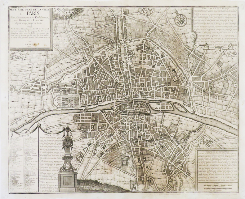
1720ref. LBW-3720[Paris, circa 1720]. 451 x 554 mm.
ref. 1390490785.Gpaperback. Good. Access codes and supplements are not guaranteed with used items. May be an ex-library book. paperback
1977ref. 82803Couverture souple. Broché. 210 pages.
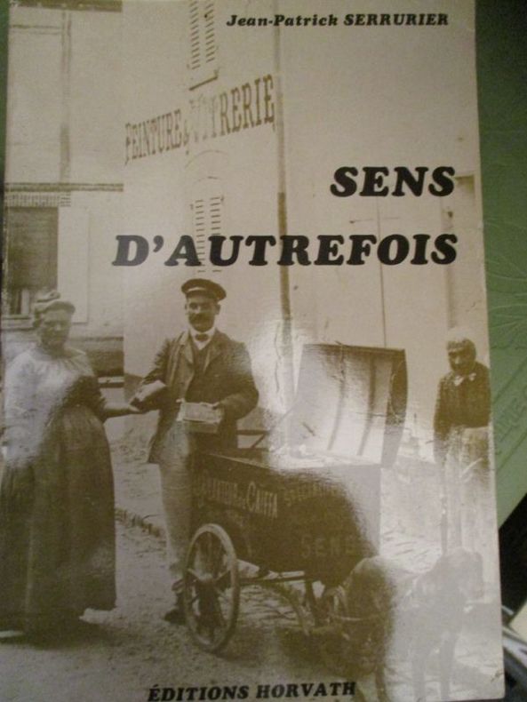
ref. 4730édition horvath 1982 In8 broché 193 pages
ref. 19-8996Madrid: National Institute of Spanish Books ca. 1970. Large format color print poster 25” x 12”. Very Good. Minor creasing on top and bottom edges. Scarce. Text in Spanish.From the collection of the late Frederick Ruffner Jr. founder of Gale Research Detroit. Madrid: National Institute of Spanish Books, [ca. 1970] unknown
2006ref. 97828452331122006, Phaidon Press, coffret cartonné toilé contenant 23 cartes postales sur le thème du vélo (dessins et aquarelles) - manque 1 carte postale | Etat : bon, coffret défraîchi, cartes postales en très bon état, manque 1 carte postale (Ref.: ref98251)
ref. 1334663335.Gpaperback. Good. Access codes and supplements are not guaranteed with used items. May be an ex-library book. paperback
ref. 1334654107.Gpaperback. Good. Access codes and supplements are not guaranteed with used items. May be an ex-library book. paperback
1976ref. 2083002116200513Meiji Maps by Masako Ito and others 1976. Soft Cover. Fine. The book is in fine condition. Meiji Maps by Masako Ito and others paperback