Honegger, Jakob AdolfAntiquariat.de
12.595 resultados
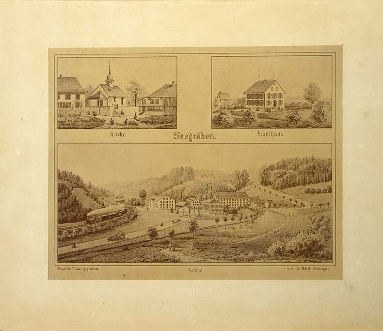
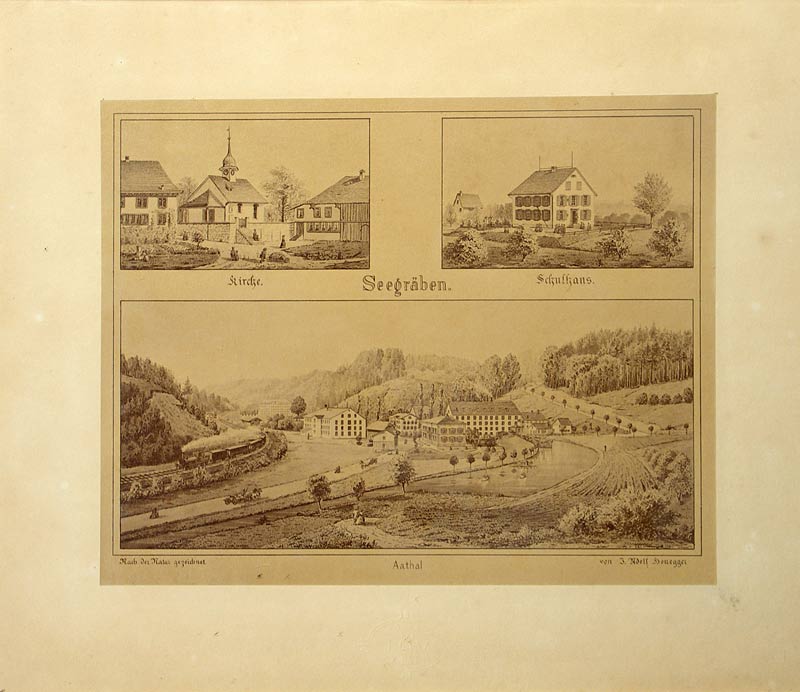
1900ref. 463DGZürich, Photoraphie J. Ganz, (um 1900). Fotrogr. reproduzierte Tuschzeichnung. Format: 17,2 x 21,6 cm. + Wichtig: Für unsere Kunden in der EU erfolgt der Versand alle 14 Tage verzollt ab Deutschland / Postbank-Konto in Deutschland vorhanden +, 463DG
1900ref. 463DGZürich, Photoraphie J. Ganz, (um 1900). Fotrogr. reproduzierte Tuschzeichnung. Format: 17,2 x 21,6 cm.
1992No marks or inscriptions. No creasing to covers or to spine. A very clean very tight copy with bright unmarked boards and no bumping to corners. 64pp.
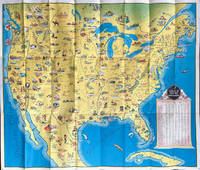
1936ref. 64019Chicago IL: The Pullman Company Poole Bros. Inc. Railroads of the United States Canada & Mexico c. 1936 1938. 4to. 24 pp unpaginated. which folds out into giant oblong atlas folio pictorial colour map 32 x 27 in. on verso orange & blue-tinted illustrations borders and self-printed over on recto in orange & blue w/ photo illustrations self-printed Art Deco cover art depicting streamliner steaming across America w/ Native American & Mexican American in foreground by Leslie Ragan slight age toning minor spotting dustsoiling couple very slight closed tears at fold creases still a VG bright copy. Second edition of this delightful and scarce promotional map issued by Pullman & the Poole Bros. for advocating Streamliner rail travel from British Columbia to Central Mexico Atlantic to Pacific along the Gulf of Mexico and Baja California. The cartographer and cartoonist has filled each area of the map with charming little pictorial vignettes highlighting historic sites National Parks recreational sports and other leisure activities. The Pullman Sleeping Car diagram depicts sections with drawing-room two compartments and double bedrooms with promotional photos. Ragan’s b. 1897 paintings and cover art graced New York Central and other railroads from 1925 through the 1950’s. This particular cover art was used the next year for the 1939 Golden Gate International Exposition World’s Fair brochures time tables and posters. Worldcat locates 1 copy Stanford. The Pullman Company, Poole Bros., Inc.], Railroads of the United States, Canada & Mexico, unknown
Grande mappa del Minnesota, databile intorno al 1880. Conservata nella sua copertina originale in tela bordeaux con titolo in oro al piatto superiore. A big map of Minnesota, about 1880. In his original canvas cover, golden title on upper dish.
1928ref. 62600Ottawa ONT: Natural Resources Intelligence Service 1928-1929. Four large folding colour maps. atlas folio w/ largest sized 45 x 35 in. w/ each sheet including an index map indicating there are 4 in total with outlines fold creases as issued minor age toning to fore-edges a few minor closed tears at fold creases still a VG set of maps. Early printing of this four sheet map depicting the automobile roads connecting Canada and the United States during the 1920’s as the Good Roads Movement rapidly expanded through the Northern Country following World War I. These maps depict the burgeoning highway and national road system which had been fostered by urban centers attempting to convince rural municipalities to replace their seasonal dirt roads with those of gravel or crushed stone and facilitate much greater movement of agricultural and manufacturing products across the continent and with the U.S. The Atlantic map stretches from the maritime provinces down to Washington D.C. and over to Niagara Falls and Buffalo NY; The Middle West map documents the main automobile roads and highways from Port Albert to Port Arthur and South from Denver to St. Louis indicating provincial federal and state roads and highways; The Great Lakes section tracks the extensive network of roads and highways surrounding the Great Lakes including those in Iowa Kentucky Wisconsin New York and the Canadian provinces of Quebec and Ontario; while the Pacific Map records the highways from San Francisco to Denver and up through Alberta and over to British Columbia. Uncommon with all four maps present. See: J.I. Little Confronting Rural Localism: The Good Roads Movement in Quebec’s Eastern Townships 1897-1920 Social History/Histoire sociale Vol. 57 No. 117 May 2024. Natural Resources Intelligence Service, unknown
ref. 17332Editions Le bridgeur, 1994. Un volume in-8°, broché.
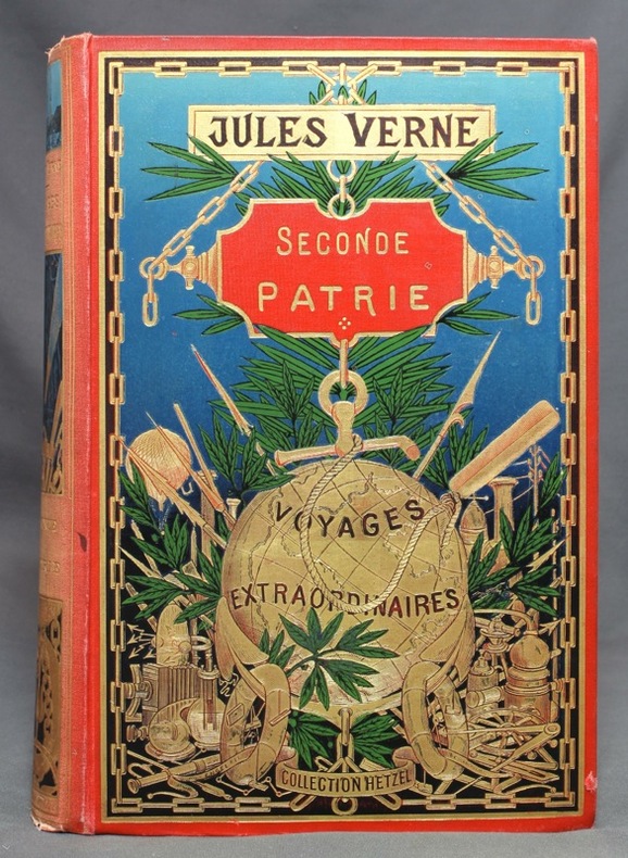
1898ref. 11863Paris, Bibliothèque d'éducation et de récréation - Les Voyages extraordinaires, J. Hetzel et Cie, [1898]. Grand in-8 de [4]-IV-471-4 (catalogue BH) pages, cartonnage polychrome "au globe doré" de type 3, dos au phare, second plat type Engel "h", tranches dorées. Dos passé, avec petits accrocs en tête et en queue.
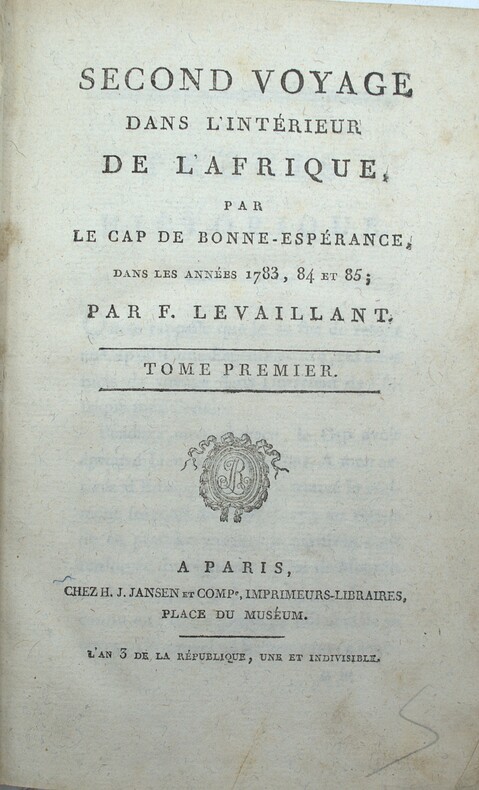
1797ref. PHO-2424Paris & Amsterdam, Jansen et Compagnie, libraire associés, An 3 (1795) & 1797, 3 volumes in-8 (20x13cm) en reliures et éditeurs différents, 2ff.-xliv-304pp., 1f.-264pp.,2ff.-525pp.1f., demi basane et coins pour les tomes 1 & 3, pleine basane pour le tome 2. Frottements et défauts divers, mouillure au tome 3, rousseurs, papier bruni au tome 2. Illustré de 21 (sur 22) planches : diverses vues dépliantes de campements, spécimens de flore (concombre) et faune surtout (hippopotame, hyène, babouin, belle tête de girafe...) et divers autochtones.
1929ref. 2083002116200482Oriental Maps Mitsuru Sato 1929. Soft Cover. Fine. The book is in fine condition. Oriental Maps Mitsuru Sato paperback
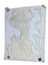
1937ref. 9266Washington D.C.: U.S. Coast and Geodetic Survey 1937. 4th edition. Large 2 color map 34.5 x 42.5" Date of 1948 stamped at the bottom along with stamps from Metsker's Maps in Tacoma. A couple small edge tears not extending into the image and light wrinkling around edges. A near fine example. Original WWII-era copy of this classic Seattle map showing shorelines depths tides etc. in full detail. This is #6449 of the U.S. Coast and Geodetic Survey the first edition appearing in 1922. U.S. Coast and Geodetic Survey unknown
ref. 86313aafLondon, Thames & Hudson, 1984, gr. in-4°, 298 p., richly illustrated in colors, copy from the archives of the publisher stamped ‘‘Exemplaire d’Archive’, else fine. orig. clothbound, orig. colour jacket, slipcase. fine copy.
Petit In-4, 143 pages, reliure editeur cartonnagee illustree. Bon etat. [QU-2]
ref. 0540088714.Gpaperback. Good. Access codes and supplements are not guaranteed with used items. May be an ex-library book. paperback
1995No marks or inscriptions. A lovely clean very tight copy with bright unmarked boards and no bumping to corners. Dust jacket not price clipped or marked or torn or creased with minor sunning around spine. 128pp. Beautiful book on the wildness of Scotland's mountains with the superb photographs from Colin Baxter. We do not use stock photos, the picture displayed is of the actual book for sale. Every one of our books is in stock in the UK ready for immediate delivery.
1960ref. LBW-8438The Scottish Tourist Board, [circa 1960]. 972 x 587 mm.
1972No marks or inscriptions. A very clean very tight copy with bright unmarked pale green boards, slight bumping to lower page corners and no bumping to board corners. Dust jacket not price clipped or torn with slight marking and very minor creasing to edges. 359pp. The far north-west of Scotland in Wester Ross and Sutherland.
ref. 0007485905.Gmap. Good. Access codes and supplements are not guaranteed with used items. May be an ex-library book. unknown
1996No marks or inscriptions. No creasing to covers or to spine. A lovely clean very tight copy with bright unmarked boards and no bumping to corners. 128pp.
1595(Duisburg, 1595). 35x44,5 cm. Engraved map of the Northern part of Scotland from 58-61',20''North, showing Orkney Island, hebrides and Skye. Fine orig. handcolouring.
1595ref. 25266(Duisburg, 1595). 35x44,5 cm. Engraved map of the Northern part of Scotland from 58-61',20''North, showing Orkney Island, hebrides and Skye. Fine orig. handcolouring.
1982180 pages. Features: Migration between the core and the periphery; radar images of the earth from space; the development of maps and stripes in the brain; personal computers; samples of the Milky Way; the interaction of moving water and sessile organisms; the search for prime numbers; the lamps of Cosa; and more. Bit of writing to front cover and page 3. Covers partially detached from staples. Many nostalgic color photo ads, including an early Microsoft ad which incorporates their early green logo. Moderate wear. A quality copy. Magazine
1964ref. 2083002116202145Meiji Maps Miyasaka Kyouichi and others 1964. Soft Cover. Fine. The book is in fine condition. Meiji Maps Miyasaka Kyouichi and others paperback
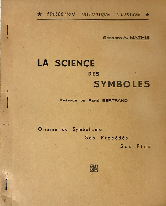
1961ref. 14766Rueil-Malmaison, Marcel Spaeth, "Collection Initiatique Illustrée", 1961 ; in-4 polycopié ; (2), IV, 105, (1) ff. recto seul.
Format: 18 x 29,5 cm. *Leicht gebräunt, insgesamt gut erhalten. Landkarten de