The EditorMareMagnum

12.176 resultados
1978No marks or inscriptions. No creasing to covers. A very clean very tight boklet with bright unmarked boards, minor traces of storage and no bumping to corners. 20pp. Brochure for the town of Stockbridge in Massachusetts, North America with history, what to see and adverts. Scarce.
1998Expressive inscrption in Spanish to front end paper. No other marks or inscriptions. No creasing to covers or to spine. A very clean very tight copy with bright unmarked boards and no bumping to corners. 210pp. Lavish guide to Acapulco.
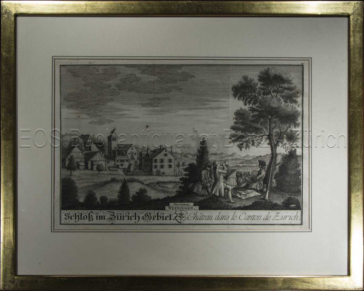
1743ref. 605BG1743. Kupferstich. Bildausschnitt: 20 x 28 cm. Rahmen: 33,5 x 42 cm. + Wichtig: Für unsere Kunden in der EU erfolgt der Versand alle 14 Tage verzollt ab Deutschland / Postbank-Konto in Deutschland vorhanden +, Abb.
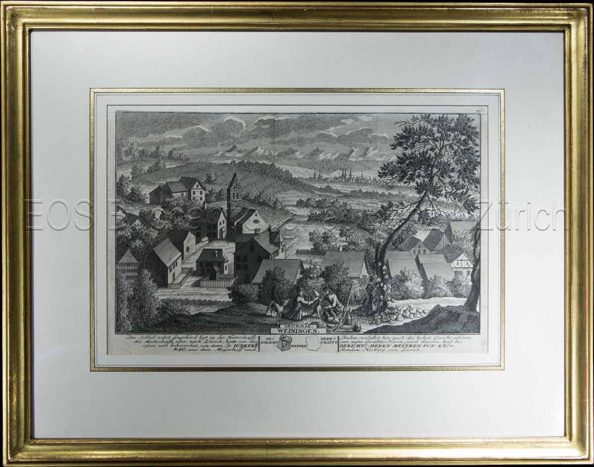
1741ref. 604BG1741. Kupferstich. Bildausschnitt: 119 x 28,5 cm. Rahmen: 34,5 x 44 cm. + Wichtig: Für unsere Kunden in der EU erfolgt der Versand alle 14 Tage verzollt ab Deutschland / Postbank-Konto in Deutschland vorhanden +, Abb.
1741ref. 604BG1741. Kupferstich. Bildausschnitt: 119 x 28,5 cm. Rahmen: 34,5 x 44 cm.
1743ref. 605BG1743. Kupferstich. Bildausschnitt: 20 x 28 cm. Rahmen: 33,5 x 42 cm.
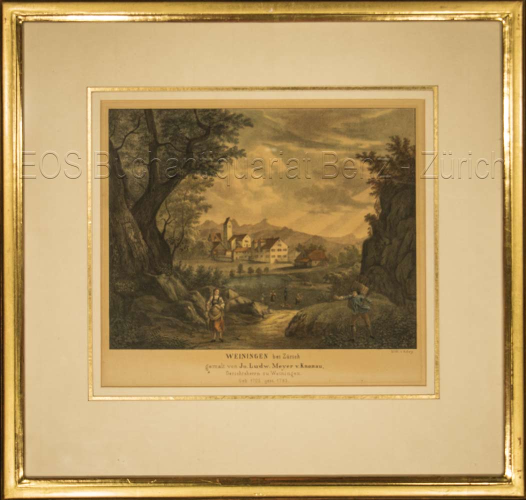
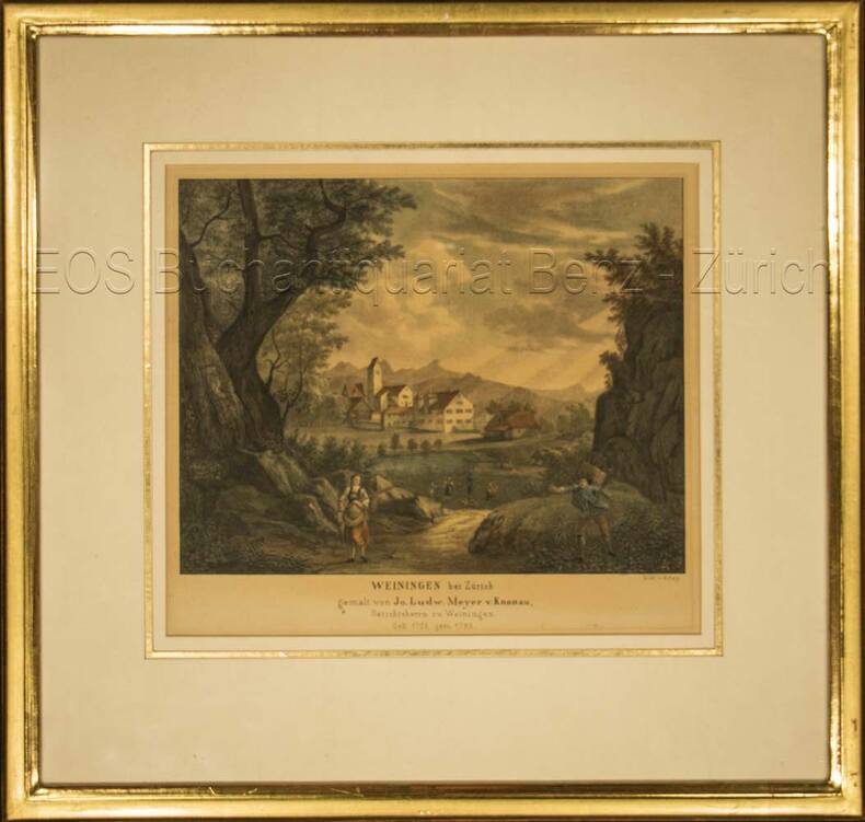
ref. 696DGo.J. Kol. Lithographie von T. Rey. Bildausschnitt: 19 x 22 cm. Rahmen: 33,5 x 35 cm. + Wichtig: Für unsere Kunden in der EU erfolgt der Versand alle 14 Tage verzollt ab Deutschland / Postbank-Konto in Deutschland vorhanden +, Abb.
ref. 696DGKol. Lithographie von T. Rey. Bildausschnitt: 19 x 22 cm. Rahmen: 33,5 x 35 cm.
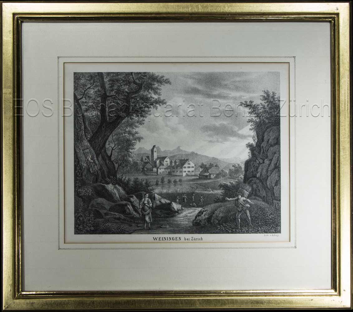
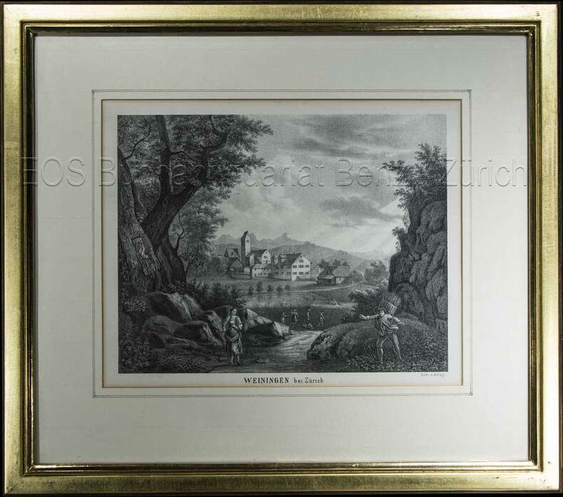
1850ref. 603BG(um 1850). Lithographie von R. Rey. Bildausschnitt: 16,3 x 21 cm. Rahmen: 31 x 35 cm. + Wichtig: Für unsere Kunden in der EU erfolgt der Versand alle 14 Tage verzollt ab Deutschland / Postbank-Konto in Deutschland vorhanden +, Abb.
1850ref. 603BG(um 1850). Lithographie von R. Rey. Bildausschnitt: 16,3 x 21 cm. Rahmen: 31 x 35 cm.
1995ref. 39156Hamburg, 1995. 99 S. Mit s/w-Abb. (= Schriftenreihen der Deutsch-Jüdischen Gesellschaft (DJG) Hamburg., Reihe 2, Heft 2). Gr.-8vo. OBrosch.
1903ref. 88235Hamburg, C. Adler, 1902/1903. Mehrfach gefalt. farbiger Straßenplan. Kartenmaß 38 x 52 cm, Blattmaß 52,5 x 70 cm, Falzmaß 19 cm.
1951ref. 88199[Hamburg, Hansa-Saat Ernst & von Spreckelsen, 1951]. Gefalt. zweifarbiger Stadtplan. Blattmaß 21 x 29, 5 cm, gefaltet auf 14,2 x 9,9 cm.
ref. 1597751022.GGood. Access codes and supplements are not guaranteed with used items. May be an ex-library book. unknown
1987No marks or inscriptions. No creasing to covers or to spine. A very clean very tight copy with bright unmarked boards, minor traces of storage and no bumping to corners. 56pp. Features on old and traditional buildings within the site explaining their constructional methods and history. Well illustrated. Tucked in are five colour postcards from the Museum.
ref. 0976373343-11-1Toucan Maps Inc. 4th. Very Good. It's a well-cared-for item that has seen limited use. The item may show minor signs of wear. All the text is legible with all pages included. It may have slight markings and/or highlighting. Toucan Maps Inc. unknown
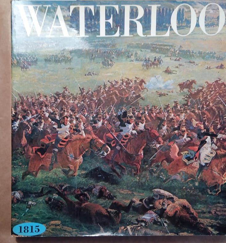
1972ref. 142887Couverture souple. Broché. 204 pages. 26 x 28 cm.
1938ref. 49584Chicago: Rand McNally Co. ca. 1938. Large colour map 26.5 x 19.5 in. which folds into 12 sections w/ several inset colour maps on verso colour-illustrated Art Deco cover art of couple driving from the front & back advertising Triton Oil minor shelfwear some dustsoiling still VG map. First edition thus including large Highway map on one side of Washington & Oregon along with smaller inset maps for Portland Everett Salem Seattle Spokane and Tacoma before World War II. Rand McNally Co., unknown
ref. Q-0929591984National Geographic Maps 2015-10-01. Paperback. New. In shrink wrap. Looks like an interesting title! National Geographic Maps paperback
ref. DADAX0929591984National Geographic Maps 2015-10-01. 2015. paperback. New. 11.00x0.25x15.25. Buy with confidence. Excellent Customer Service & Return policy. National Geographic Maps paperback
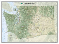
2012ref. 1-1597752509Natl Geographic Society Maps 2012. Map. New. map edition. 1 pages. 30.50x1.60x1.60 inches. Natl Geographic Society Maps unknown
ref. A9781597752503Sheet map. New. unknown
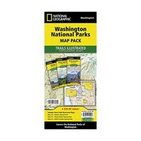
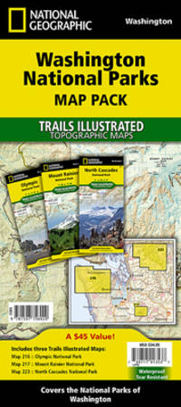
2015ref. 1-1597756024Natl Geographic Maps 2015. Paperback. New. fol map edition. 6 pages. 9.50x4.50x0.75 inches. Natl Geographic Maps paperback
ref. 1597756024.Gmap. Good. Access codes and supplements are not guaranteed with used items. May be an ex-library book. unknown
1937ref. 2306200115Government Printing Office 1937. hardcover. Very Good. 0x0x0. Bound in publisher's cloth. Hardcover. No dust jacket. Good binding and cover. Spine faded. Clean unmarked pages. Includes map in rear pocket. xxvi. 1140 pages. The American Guide Series was a group of books and pamphlets published under the auspices of the Federal Writers' Project FWP a Depression-era works program in the United States. The American Guide Series books were compiled by the FWP but printed by individual states and contained detailed histories of each state with descriptions of every city and town. The format was uniform comprising essays on the state's history and culture descriptions of its major cities automobile tours of important attractions and a portfolio of photographs. Government Printing Office hardcover