1908Approx. 27" x 19". Library markings. Faint discolouration to upper right corner. Map
1860Paris, Migeon, s.d. (vers 1860); 470/350 mm, 1 pp., une feuille. Coloriée d'époque. Carte de la province d'Algérie. Bon état.
1965No marks or inscriptions. A lovely clean crisp very tight copy with bright unmarked cream cloth boards and no bumping to corners. Clipped dust jacket not marked or torn or creased. 338pp. With 215 pages of beautiful photographs of the Provence region of France in black & white and four colour plates. Two fold-outs in perfect condition. Ninety introductory pages on the region and 32 pages of notes on the photographs.
1959ref. 94939Boston: Atlantic Monthly Press/Little Brown and Company 1959. Hardcover. xvii 435p. 8p. photos later printing cloth edgeworn dj. Atlantic Monthly Press/Little, Brown and Company hardcover books
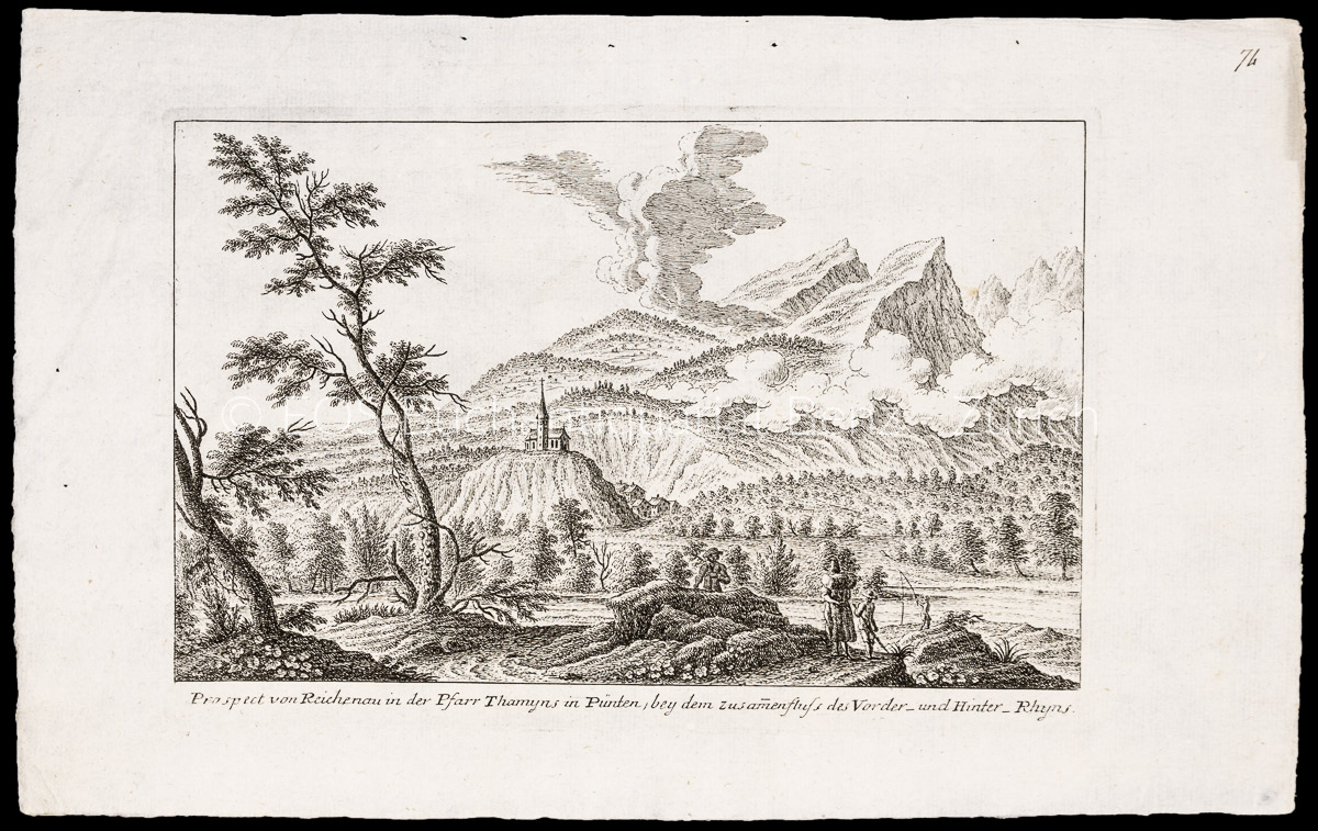
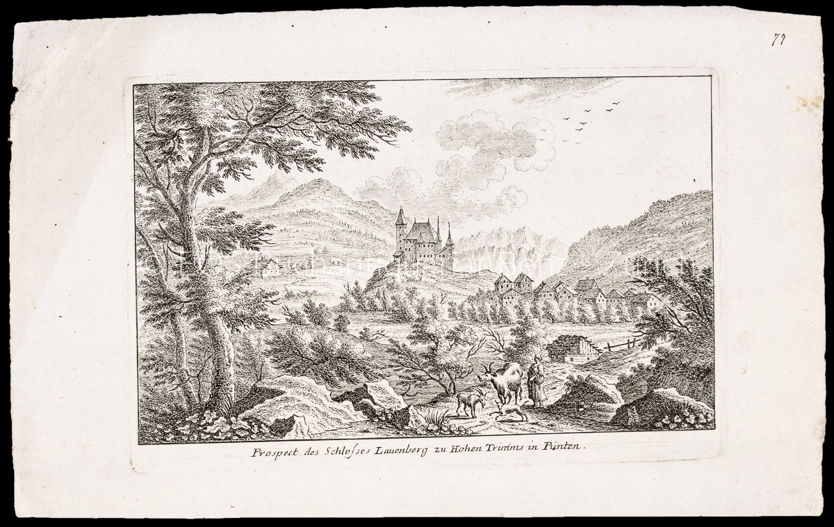
ref. 1008CGo.J. Radierung. Plattengrösse: 17 x 25 cm. Papiergrösse: 22 x 34,5 cm. + Wichtig: Für unsere Kunden in der EU erfolgt der Versand alle 14 Tage verzollt ab Deutschland / Postbank-Konto in Deutschland vorhanden +, A
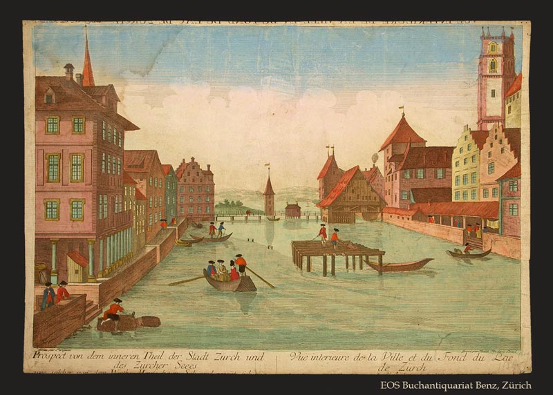
1770ref. 278BGO. O., ca. 1770. Kolorierter Kupferstich von Balthasar Frederic Leizel nach Perignan. Bildgrösse: 38 x 25 cm. Blattgrösse: 39,5 x 28 cm. + Wichtig: Für unsere Kunden in der EU erfolgt der Versand alle 14 Tage verzollt ab Deutschland / Postbank-Konto in Deutschland vorhanden +, 278BG
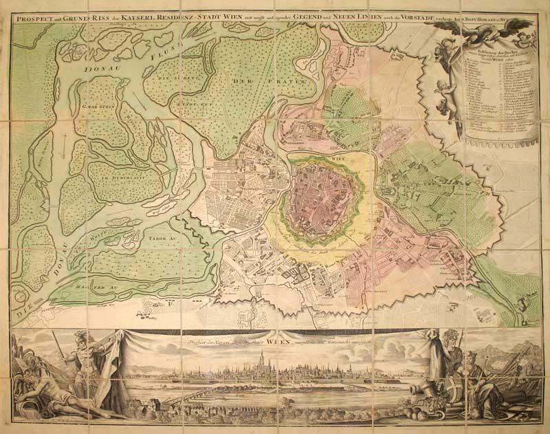
1965ref. 56975(Wien, Editio Totius Mundi, [ca. 1965]). Handkolorierter Umgebungsplan mit Stadtansicht, allegorischen Kartuschen, Detailkarte u. Legende auf Bütten (Blattgröße 62 x, Bildgröße 49 x 58 cm).
1720ref. KART0098Nürnberg, Homann (um 1720). altkol. Kupferstichplan, Gesamtmaß: 61x 53 cm, Ansicht: 58x49 cm, in 24 Teilstücke zerschnitten u. auf Leinwand aufgezog., kartenmäßig gefalt., Leinen an den Rändern etw. fransig, auf Rückseite zwei Felder beschriftet. Grundriss der Innenstadt mit den angrenzenden Vorstädten Leopoldstadt, Alsergrund, Josefstadt, Neubau, Margareten, Wieden und Erdberg sowie der noch unregulierten Donau und deren Auen; in re. ob. Ecke Kartusche mit Erklärung von Häusern, Kirchen etc.; unt
ref. 1007CGo.J. Radierung. Plattengrösse: 17 x 25 cm. Papiergrösse: 21,3 x 34,6 cm. + Wichtig: Für unsere Kunden in der EU erfolgt der Versand alle 14 Tage verzollt ab Deutschland / Postbank-Konto in Deutschland vorhanden +, A
1770Raffigurazione della città con deformazione verticale dei monumenti, panorama della città da Monte Mario. Incisa da A. Sommer e stampata a Vienna intorno al 1770. (Marigliani indica erronemente la data di stampa in 1730). La veduta prospettica (incisione su rame) rappresenta Roma secondo il modulo inaugurato dai disegnatori tedeschi nella prima metà del sec. XVIII. Editore e autore del disegno sono, rispettivamente, i poco documentati J. Eder e A. Sommer, le cui firme compaiono agli angoli sotto il margine inferiore.Poche notizie si hanno a riguardo dell’editore Joseph Eder, nativo di Vienna. Sommer potrebbe essere lo pseudonimo di Alois Sonne von Sonnefeld, incisore sempre originario della capitale austriaca. Incisione in rame, in ottimo stato di conservazione. Rara. Raffigurazione della città con deformazione verticale dei monumenti, panorama della città da Monte Mario. Incisa da A. Sommer e stampata a Vienna intorno al 1770. (Marigliani indica erronemente la data di stampa in 1730). La veduta prospettica (incisione su rame) rappresenta Roma secondo il modulo inaugurato dai disegnatori tedeschi nella prima metà del sec. XVIII. Editore e autore del disegno sono, rispettivamente, i poco documentati J. Eder e A. Sommer, le cui firme compaiono agli angoli sotto il margine inferiore.Poche notizie si hanno a riguardo dell’editore Joseph Eder, nativo di Vienna. Sommer potrebbe essere lo pseudonimo di Alois Sonne von Sonnefeld, incisore sempre originario della capitale austriaca. Incisione in rame, in ottimo stato di conservazione. Rara. C. Marigliani, "Le Piante di Roma delle collezioni private", tav. 184
1850(København, omkr. 1850). (Ca.20x30 cm.). Tonet litografi af Bærentzen set mod Nørreport. Lettere brunplettet.
1767(København, 1767). Kobberstukket prospekt af Åkirkeby. (18x26,5 cm.).
1720Panorama di Roma preso dal Gianicolo, firmata "Aveline fecit et excudit", edita a Parigi presso Charpentier."La veduta panoramica di Roma è presa dal Gianicolo e raffigura sulla sinistra il complesso del Vaticano e Castel Sant'Angelo. AL centro il fitto tessuto urbano cittadino dal quale emergono torri e cupole non sempre riconoscibili. L'intera veduta è infatti condotta con grafia molto essenziale e immediata di non grande impatto visivo" (cfr. Barbara Jatta in "Roma Veduta" p. 193). La veduta viene attribuita dalla Jatta - soprattutto per motivi temporali legati all'editore Charpentier crediamo - ad Antoine Aveline "il giovane". La famiglia Aveline, appartenente alla borghesia parigina, lavorò per oltre due secoli nel campo artistico ed incisorio; visto il ripetersi dei nomi di battesimo e il fatto che apponevano la generica firma Aveline, si è spesso fatta confusione fra i sui vari componenti. Tuttavia l'imprint Aveline fecit et excudit lascia credere che l'edizione Charpentier sia il secondo stato (di tre) della lastra, che in seguito fu ristampata anche da Chereau. Quindi riteniamo più probabile - anche per lo stile grafico - attribuirla a Pierre Aveline e la data di stampa posta a circa il 1720 circa. Particolare curioso, la veduta non include il Colosseo. Nel margine inferiore, legenda di 47 numeri. Acquaforte, con ampli margini, consueta piega centrale, sporadiche e piccole ossidazioni nei margini bianchi nel complesso in ottimo stato di conservazione. Panorama of Rome taken from the Janiculum Hill, signed "Aveline fecit et excudit", published in Paris at Charpentier. The panoramic view of Rome is taken from the Janiculum Hill and depicts on the left the Vatican complex and Castel Sant'Angelo. At the center the dense urban fabric from which towers and domes emerge not always recognizable. The entire view is in fact conducted with very essential and immediate handwriting of not great visual impact (see Barbara Jatta in "Roma Veduta" p. 193). The view is attributed by Jatta to Antoine Aveline "the young". The Aveline family worked for over two centuries in the field of art and engraving; given the repetition of first names and the fact that they affixed the generic signature Aveline, there has often been confusion among the various members. However, the imprint Aveline fecit et excudit leads us to believe that the Charpentier edition is the second state (of three) of the plate, which was later reprinted also by Chereau. Therefore we think it more probable - also for the graphic style - to attribute it to Pierre Aveline and the date of printing placed at about 1720. Curious detail: the view does not include the Colosseum. In the lower margin, legend of 47 numbers. Etching, with wide margins, usual central fold, sporadic and small oxidations in the white margins, on the whole in very good condition. Arrigoni Bertarelli (1939): p. 20, n. 154; B. Jatta in "Roma Veduta", p. 193, n. 45; Marigiiani (2007), p. 262, n. 175.
1940ref. 3844BUm 1940. 15 x 10,5 cm.
2004New English Original bdg. HC. 4to. (31 x 21 cm). In English and Turkish. [xv], 84, 53, 41, 64, 54, 131, 12, 32, [7] p., color ills. Symposium contains 8 sessions and pages numbered session by session. Proceedings of the International Piri Reis Symposium.= Uluslararasi Piri Reis Sempozyumu Tebligler kitabi. 27-29 September 2004.
1767ref. 34567(København, 1767). Kobberstukket prospekt af Åkirkeby. (18x26,5 cm.).
1990ref. 32667Olympia / Phonogram 1990. In-4 agrafé, non paginé, d'environ 24 pages au format 32 x 24 cm. Couvertures illustrées par des photographies. Plats et intérieur frais malgré de petits tassements aux coins. Magnifique et luxueux programme des spectacle de Juliette Gréco, donnés à l'Olympia en 1991. Très nombreuses photographies en noir de Juliette Gréco, par différents photographes, dont Irmeli Jung et Robert Doisneau. Documents et facsimilés reproduits. Rare édition originale en superbe état général. Précieux exemplaire avec cordiale dédicace de Juliette Gréco en haut de la couverture. Collection personnelle.
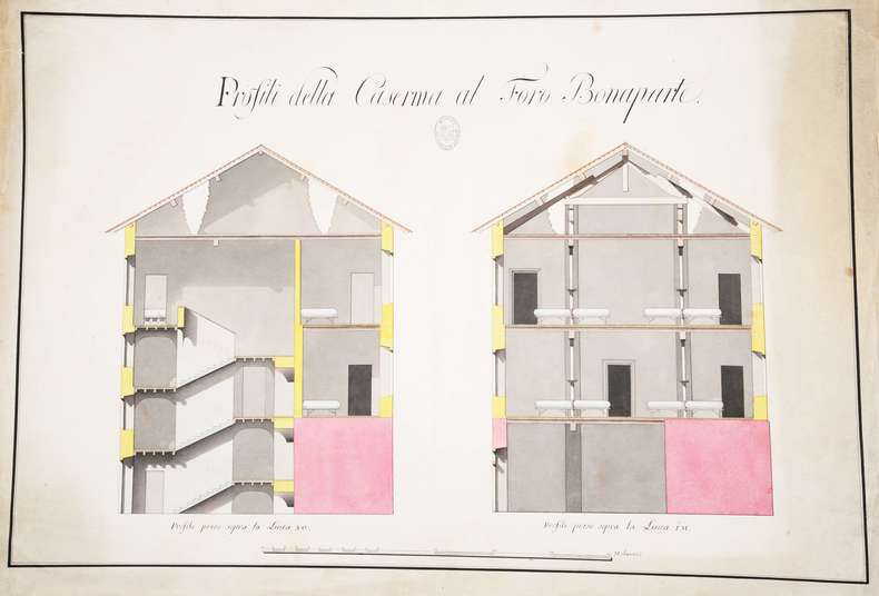
ref. 107696S.l., 450 x 650 mm., deux coupes en élévation sur une planche : coupe des escaliers d'accès et des dortoirs d'une caserne.
1860ref. A115Paris, Migeon, s.d. (vers 1860) ; 470/350 mm, 1 pp., une feuille. Coloriée d'époque. Carte de la province d'Algérie. Bon état.
ref. 208488Fontainebleau, 31 janvier 1876 in-folio oblong (68 x 96 cm), en feuille, bord supérieur ébarbé.
1989ref. 1240331989 Editions Francis Catella, RZ publication - 1989 - In-8, cartonnage illustré - 232 pages - Très riche iconographie en couleurs et en N&B
ref. R320131090H.Chipault. non daté. In-16. Broché. Etat d'usage, Couv. légèrement passée, Dos satisfaisant, Intérieur acceptable. Carnet contenant 20 cartes postales en sépia détachable (collationnées) - rousseurs sur les plats.. . . . Classification Dewey : 741.68-Illustrations des cartes postales
ref. RO20221661H. Chipault. Non daté. In-16. Broché. Bon état, Couv. convenable, Dos satisfaisant, Intérieur frais. Carnet contenant 20 cartes postales en sépia détachable (collationnées). . . . Classification Dewey : 741.68-Illustrations des cartes postales
ref. LBW-7475[milieu du XIXe siècle]. 80 x 100 cm.
1973ref. 13099Le Nombre d'Or 1973 310 pages in8. 1973. broché. 310 pages. Guide touristique proposant 15 circuits en voiture dans le Vaucluse couvrant 1115 km et 73 communes autour de Carpentras. Il inclut des descriptions de monuments des notices biographiques des cartes et des photographies