ref. SLIVCN-9830096002869PASSE-TEMPS EDITIONS
1850ref. 48233(København, omkr. 1850). (Ca.20x30 cm.). Tonet litografi af Bærentzen set mod Nørreport. Lettere brunplettet.
1797ref. LBW-836[Paris, 1797]. 413 x 252 mm.
1660ref. LBW-4146[circa 1660]. En deux feuilles jointes de 390 x 586 mm.
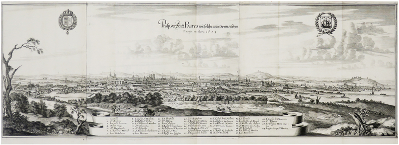
1655ref. LBW-7681[Francfort], 1654 [1655]. En trois feuilles jointes de 263 x 792 mm.
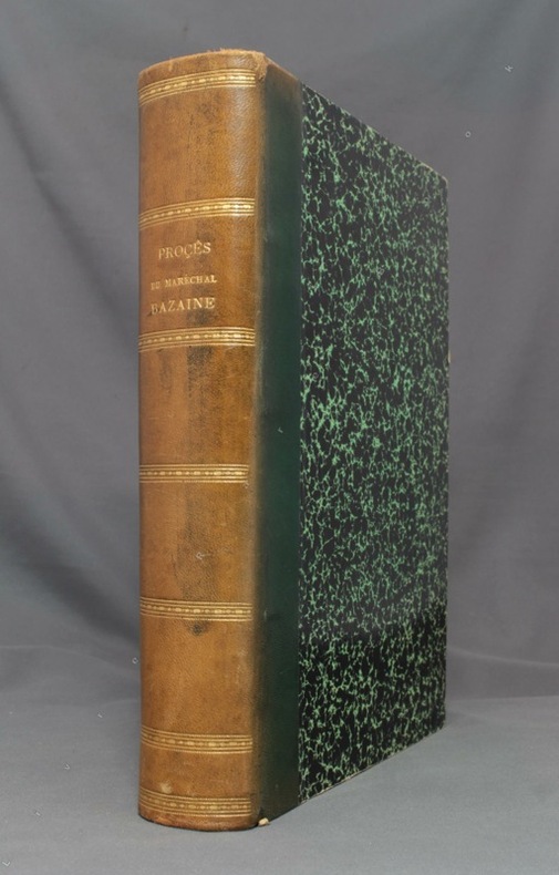
1874ref. 8818Paris, Garnier Frères, 1874. 3 tomes en un volume in-4 de[4]-259-[4]-356-[4]-380 pages, demi-basane verte, dos lisse orné de filets, roulettes et titre dorés. Dos passé, reliure un peu frottée, épidermure au second plat, quelques rares rousseurs.
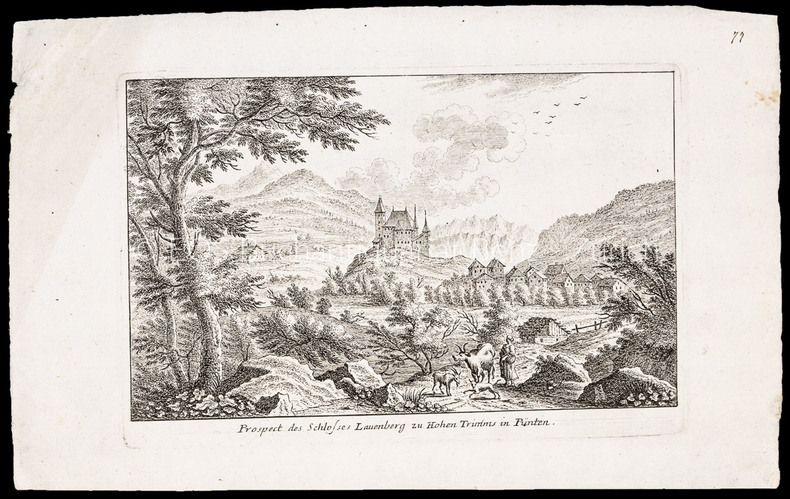
ref. 1007CGRadierung. Plattengrösse: 17 x 25 cm. Papiergrösse: 21,3 x 34,6 cm.
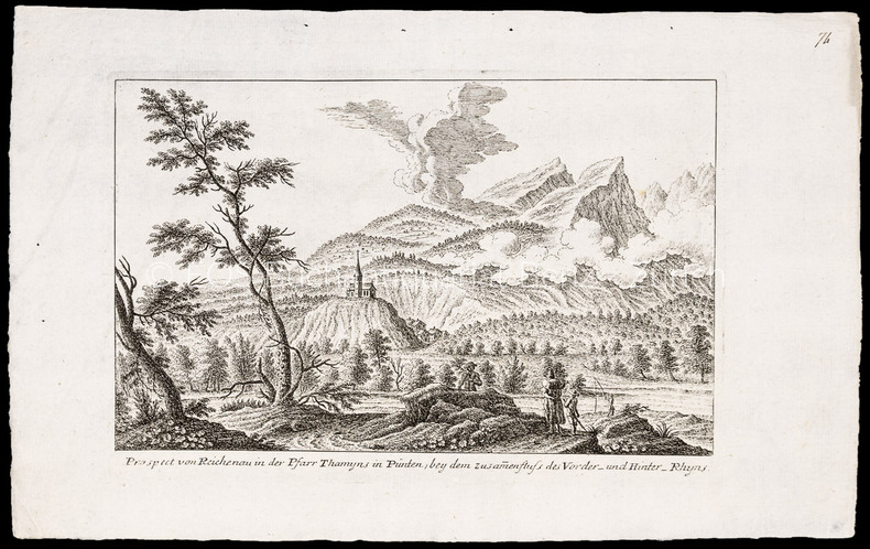
ref. 1008CGRadierung. Plattengrösse: 17 x 25 cm. Papiergrösse: 22 x 34,5 cm.
ref. 2867Dimensions : 90,5 x 63,5 cm. Tirage limité à 150 exemplaires numérotés, celui-ci numéro 48. Signature de l’artiste au crayon dans l'angle inférieur droit. Ce jeu a été gravé sur cuivre en taille douce à la pointe sèche par Claude Weisbuch (1927-2014). Le tirage de l’estampe sur papier Rives format colombier a été réalisé par le pressier Patrick Degouy à 150 exemplaires signés et numérotés par l’artiste et destinés à France Cartes, qui a ensuite édité un jeu reproduisant la gravure rehaussée. Le jeu de carte est peu courant et la gravure l'est encore plus.
1979Book is in excellent condition. Binding is solid and square, covers have sharp corners, exterior shows no blemishes, text/interior is clean and free of marking of any kind. 72 pages with charts, graphs, tables, maps, mechanical drawings. Sections include: Water quantity, Water sources ( ground water, surface, wells, catchments and cisterns, -- roof cisterns --, ponds, springs) Pumps, (motors, special pumps -- rams windmills booster ) Pressure tanks and cotntrols, Piping, Water treatment (deteerfmining water quality, treatments and equipment -- disinfection , chlorine, heat, ultraviolet light, iodine), Chlorination, (shock, continuous, solution injection, management, residual, iron removal, nitrate and sulfate removal, softening, acid water) etc.
19824to., First Edition, with frontispiece and 40 plates of facsimiles; original series binding of brown cloth, gilt back, a near fine copy in unclipped dustwrapper. SRS Vol. 72. With the separately printed corrigenda slip.
1992Auction catalogue. Fine pbk. 20135 eng
ref. 77-0509Essex England 1980. 4to. 2 pages stapled printed on pink paper. Very Good. Inventory of Prints & Maps including prices including engraved portrait of Walter Raleigh. Essex, England, [1980?] unknown
Madrid, por Don Joachin Ibarra, 1783 4to. menor; XII pp., 334 pp. y 4 láminas. Ejemplar falto de portada, 4 hojas de preliminares y la hoja XIII-XIV. Buen estado general. Encuadernación de época, en piel con tejuelo.
1769Pianta a proiezione verticale, orientata con il nord in alto, 1769 circa. Si tratta di una piccola e rara riduzione del Nolli. Scaccia Scarafoni cita un esemplare con sottoscrizione Dom. Pront. F. in R(oma) 1770, mentre il nostro esemplare e quello illustrato su Marigliani sono probabilmente prove ante la firma. “Titolo scritto sul piedistallo di una statua in basso a sinistra. In basso a destra veduta di piazza del Popolo. A destra una legenda di 116 numeri su due colonne. La pianta è incisa con cura grafica e dovizia di dettagli a dispetto del formato ridotto; alcune chiese, come ad esempio San Carlo al Corso e ovviamente San Pietro, vengono persino rappresentate con la pianta interna. I lotti edificati sono campiti in nero” (cfr. Marigliani p. 282). Acquaforte, in ottimo stato di conservazione. Bibliografia Scaccia Scarafoni (1939): p. 116, n. 232; Marigliani (2007): p. 282, n. 202. Vertical projection map, oriented with north at the top, circa 1769. This is a small and rare reduction of the Nolli map of Rome (1748). Scaccia Scarafoni mentions an example with subscription Dom. Pront. F. in R(oma) 1770, while our example and the one illustrated on Marigliani are probably proofs, before the imprint. Title written on the pedestal of a statue in the lower left corner. Bottom right view of Piazza del Popolo. To the right a legend of 116 numbers in two columns. The map is engraved with graphic care and abundance of detail despite the small format, some churches, such as San Carlo al Corso and of course St. Peter, are even represented with the internal plan. The built lots are depicted in black (cf. Marigliani p. 282). Etching, in excellent condition. Literature Scaccia Scarafoni (1939): p. 116, n. 232; Marigliani (2007): p. 282, n. 202.
2005Book is in excellent condition in deep blue cloth HB covers with silver print at cover and spine. decorated endpapers with two -page b&w photo spread of the site. Binding is solid and square, covers have sharp corners, exterior shows no blemishes, text/interior is clean and free of marking of any kind. Faint mark to cover and small coffee dot stain to lower front endpaper are only flaws, otherwise as new. Dust jacket shows light edge wear, 1" open tear top edge back cover. Very detailed study of the excavation of the site of the city of Priene, Greece full of measured drawings, maps, cross sections, elevations, architectural detail in measured drawings, floor plans, color and b&w photos, artist's renderings, contour drawings of the various temples, sanctuaries, theaters, the stadium, houses, Christian structures, with appendicies for the ionic order and doric order columns, roof structures and detail (including lesbian cyma). All glossy paper, oblong format, 231 pages. Copyright 2011 Pistil Books
ref. 12884Privas, Genella, s.d. (vers 1920), 1 carte postale de 14 x 9 cm ;
ref. 12995Paris, Aqua Photo, s.d. (début XXème), 1 carte postale en couleurs de 14 x 9 cm ;
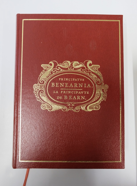
ref. REG5303M1980, SNERD, Pau. 2 volumes in-4 comprenant Principatus Benearnia et son Atlas historique. Principatus Benearnia, fort volume relié plein simili grenat, plats estampés, 637pp largement illustrées. Atlas Historique, cartographie Monique Morales, broché, plats marrons, 91pp. Page de titre épidermée sur volume Atlas. Bon ensemble en très bel état.
ref. LBW-661117 8bre [octobre] 1855 14,5 x 24 cm, sur une feuille de 21,5 x 43 cm pliée en deux.
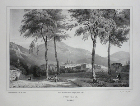
ref. LBW03d60Paris Benard circa 1850 225 x 298 mm.
1946ref. 149435Couverture rigide. Relié. 364 pages. Dos aquarellé.
ref. 3844349561.Gpaperback. Good. Access codes and supplements are not guaranteed with used items. May be an ex-library book. paperback
Format: 18 x 29,5 cm. *Leicht gebräunt, insgesamt gut erhalten. Landkarten de
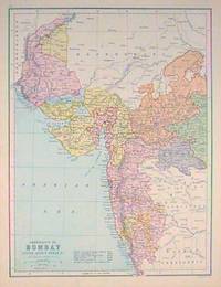
1880ref. 187528Edinburgh.: J. Bartholomew. circa1880s. Map 40.2 x 30.4 cms with printed colour and outline hand colour in very good condition. Handsome map with colonial interests attractively coloured. . J. Bartholomew unknown