Mireille PASTOUREAULivre Rare Book
Hermann:Livre Rare Book
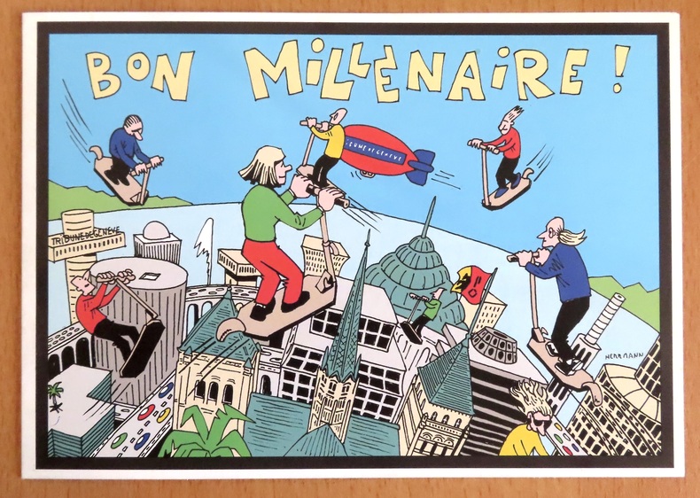
Voeux de la Tribune de Genève pour le 3e millénaire.
1999ref. 24397Tribune de Genève, 1999. Carte double au format fermé de 21 x 15 cm.
La Bergerie · Le Locle, SuíçaCHF 10,00≈ € 10,83
11.782 resultados
1990ref. LFA-126722078Un ouvrage de 188 pages, format 220 x 305 mm, illustré, relié cartonnage sous jaquette couleurs, publié en 1990, Editions Hervas, bon état
ref. 140615aafZürich, Lithogr. J.J. Hofer & Burger, n-8vo, gef. 1 Blatt mit Abb. und Beschreibung von 63 Nummern der Murer-Karte / + gef. kolorierte Murer-Karte (ausgefaltet: 55 x 72 cm.), ill. Original-Umschlag, Leinen Rückenstreifen.
1999ref. 24397Tribune de Genève, 1999. Carte double au format fermé de 21 x 15 cm.
2000ref. 9052Angoulême, Centre National de la Bande Dessinée et de l'Image, 2000. Carte de voeux, avec pli décalé du plus heureux effet. Présentait les voeux du Centre pour l'an 2000. Illustrée d'un dessin issu de l'exposition "Trait de génie - Giraud".
ref. 5816Zaltbommel, Europese Bibliotheek, 1968 21 x 15, 160 pp., ca 150 figures, cartonnage éditeur illustré, très bon état
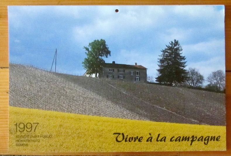
1996ref. 3344Société d'Art public, Genève, 1996. Calendrier pour l'année 1997, composé de cartes postales détachables, photographies de la campagne genevoise. En bon état.
ref. 9874Société archéologique et Historique des Hauts cantons de L'Hérault ;; In-4°, broché, couverture souple glacée ill ( femme et chèvres ), 157 pages, une iconographie impressionnante, principalement cartes postales, très bel exemplaire par ailleurs sous tous rapports;
ref. 14439Aubenas, Artige, s.d. (début XXème), 1 carte postale de 9 x 14 cm.
1840Immaginiaria e curiosa veduta panoramica di Roma, presa dal Gianicolo. Del panorama reale vengono rispettati e riprodotti soltanto i monumenti essenziali: ponte S. Angelo, che è anche l'unico ponte disegnato, Castel S. Angelo e qualche cupola a caratterizzare lo sfondo.Stampata in Francia, dall'editore e stampatore Gosselin.Litografia, finemente colorata a mano, piccoli strappi restaurati nella parte superiore destra, lievi fioriture ai margini, nel complesso in buono stato di conservazione. Immaginiaria e curiosa veduta panoramica di Roma, presa dal Gianicolo. Del panorama reale vengono rispettati e riprodotti soltanto i monumenti essenziali: ponte S. Angelo, che è anche l'unico ponte disegnato, Castel S. Angelo e qualche cupola a caratterizzare lo sfondo.Stampata in Francia, dall'editore e stampatore Gosselin.Litografia, finemente colorata a mano, piccoli strappi restaurati nella parte superiore destra, lievi fioriture ai margini, nel complesso in buono stato di conservazione.
ref. 1770091939.Gpaperback. Good. Access codes and supplements are not guaranteed with used items. May be an ex-library book. paperback
196364 pages. Undated but appears to be early 1960s. Many colour photos and other illustrations. Provides a comprehensive snapshot of the many tourist attractions and services of these areas several decades ago. Unmarked with average wear. A great piece for those interested in the history of the tourism industry in these regions. Book
1986Book appears unread in virtually mint condition. 160pp. Travel guide to the Dordogne region of France.
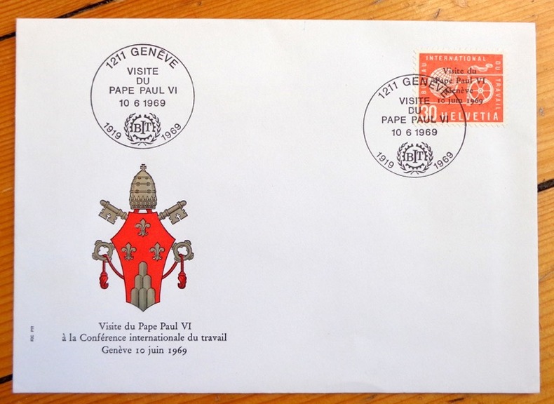
ref. 4579Enveloppe avec décor gaufré, timbre spécial édité à l'occasion de la visite papale, oblitéré à la date de la conférence. En parfaite condition.
ref. ORD-1170D'après les aquarelles de Pierre Billard. Bordeaux. Marcel Delboy. s.d. Carnet (148 x 90mm) de 12 cartes postales gravées en bistre, sous couverture illustrée de même teinte. Bel exemplaire, complet.
1949ref. AUB-4575Paris, éd. Horizon de France 1949. Bel exemplaire broché, pet. in-4 carré, 207 pages + planches.
1949Name, date & origin on front end paper. Also two of authors names and a few place names underlined. Creasing to oversize parts of covers, none to spine. A very clean very tight copy with sunning to page edges and covers and rubbing to spine ends. 195pp. Very well illustrated guide, culture and history of the French region of Poitou, now part of the new region of Nouvelle-Aquitaine. With a number of fold-out maps all in very good condition. All text in French.
1947ref. 17252Paris, Editions de Horizons de France, Collection Provinciales, 1947. In-8 broché de 206 pages, couverture imprimée en couleurs.
1945ref. 2405Paris, Ed. des Horizons de France, 1945. 1 volume broché (185 x 236) de 197-[4] pages, couverture illustrée couleurs.
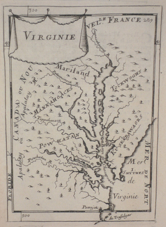
1683ref. LBW024cc[1683]. 149 x 103 mm.
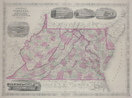
1864ref. LBW03583New York 1864 430 x 587 mm.
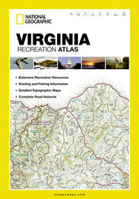
ref. 1597755567-7-1National Geographic Maps. 2013. Acceptable. The item might be beaten up but readable. May contain markings or highlighting as well as stains bent corners or any other major defect but the text is not obscured in any way. National Geographic Maps unknown
ref. 1597755567-11-1National Geographic Maps. 2013. Very Good. It's a well-cared-for item that has seen limited use. The item may show minor signs of wear. All the text is legible with all pages included. It may have slight markings and/or highlighting. National Geographic Maps unknown
1970No marks or inscriptions to map or covers. Very minor creasing to covers. A very clean not torn map with bright unmarked boards. 1pp. Opens up to 23 x 30 inch vintage Geographia map of Denmark in 1970.
1911ref. PHO-9261911 à Paris , chez Hachette , in-8 (200x130),relié pleine toile ,233pp avec 40 vues photographiques Hors texte prises par l'auteur ,3 reproductions de monuments, 8 cartes et plans .
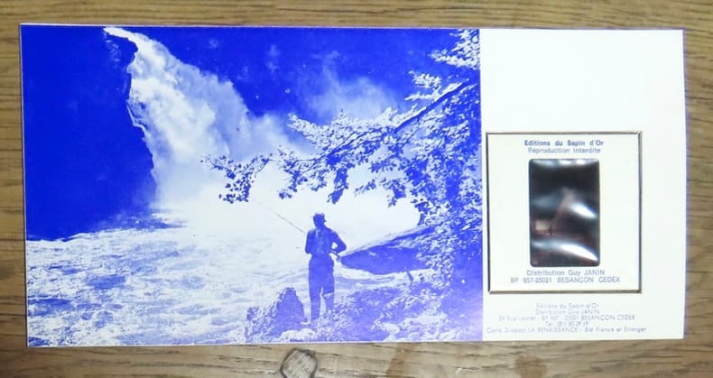
1973ref. 25153La poste française / Editions du Sapin d'or, 1973. Timbre de 0,60 centimes, oblitéré au premier jour d'émission (8 septembre 1973), contrecollé sur un carton fort contenant en outre une diapositive du célèbre Saut.