11.782 resultados
ref. 7535Villeneuve de Berg, association-Services "le Prieuré", s.d. (années 80 ou 90), 1 carte postale de 10 x 15 cm ;
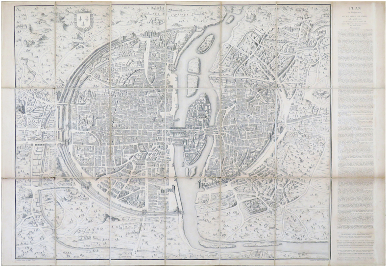
1552ref. LBW-6930Paris, [1552-1756-milieu du XIXe]. En 21 sections montées sur toile et pliées, formant un plan de 694 x 991 mm ; étiquette au dos de l'éditeur Charles Simonneau.
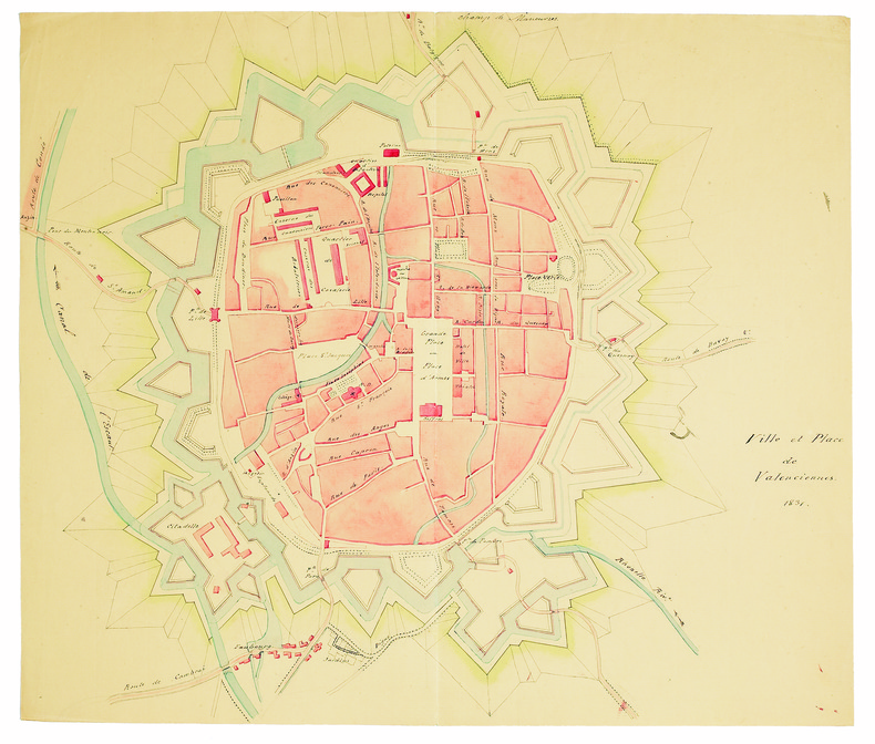
1831ref. LBW-41441831. 345 x 410 mm, sur papier vergé.
1987No marks or inscriptions. A very clean very tight copy with bright unmarked boards and no bumping to corners. Dust jacket price clipped but not marked or torn or creased with minor traces of storage. 160pp. A tour around scores of Yorkshire villages. Well illustrated.
1992No inscriptions or marks. A lovely clean crisp very tight copy with bright unmarked boards and no bumping to corners. Dust jacket not price clipped or torn or creased. 256pp. Taken from the highly successful Observer Magazine series, Village England is a catalogue of all that is best in England. Twenty-four towns were chosen as centres to explore, and their surrounding villages are detailed with places to visit, things to do, national parks, model railways, places to eat and drink etc. With over 170 colour photographs, it is an introduction to the true England: quiet, picturesque, calm and beautiful.
ref. RO20004200Photo hall. Non daté. In-16. Broché. Bon état, Couv. convenable, Dos satisfaisant, Intérieur frais. Vignettes artistiques pour cartes postales avec formules interchangeables. Pour photographes.. . . . Classification Dewey : 741.68-Illustrations des cartes postales
Barcelona, 2006. Folio; 262 pp. Con 55 reproducciones de planos y mapas en color. Encuadernación original en tela. Sobrecubiertas.
soft cover, slightly worn cover, else in good condition.
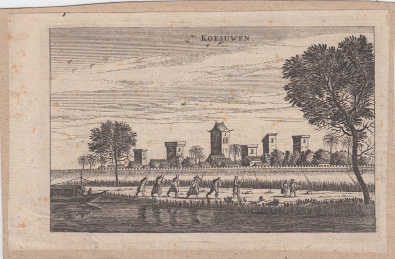
1699ref. 260611699 Amsterdam, 1699. original copper-engraving, 10 x 16 cm, taken from Joan Nieuhof: Het Gezandtschap der Neêrlandtsche Oost-Indische Compagnie, aan den grooten Tartarischen Cham, den tegenwoordigen Keizer van China, Amsterdam, 1666-99
ref. 4262Paris, Laboratoire Marinier ; principautés d'Orange et comtat Venaissin (n°1), Mascon (n°2), Isles de Ré et d'Oléron (n°8), Franche Comté (n°9), Vermandois (n°11), Souveraineté des Dombes (n°13), Aire (n°15), Bresse (n°16), Langres (n°17), Retlois (n°18), Blaisois (n°19), Pays de Turenne (n°20), Beauvoisis (n°21), Valois (n°22), Lac Léman (n°23), Cambrésis (n°24), Le Velay (n°25), Pays Messin (n°27), Duché d'Aiguillon (n°28), Pays de Calais (n°29), Roussillon (n°30), Pays de Luçon (n°32), Le Lieuvin (n°34), Barrois (n°37), Comté de Nice (n°38), Pays de Caux (n°39), Ponthieu (n°41), Chalonnais (n°42), Le Valentinois, Vercors et Diois (n°43), Bourdelois et Prevoste de Born (n°44), Hainault François (n°45), Cotentin (n°46), Vexin François (n°50), Comté de Toulouse (n°51), Verdunois (n°52), Pays de Nantes (n°53), Yveline (n°54), Valromey (n°56), Bugey (n°57), Pays de Vannes (n°58), Pays de Béziers (n°59), Bessin (n°61), Pays de Gex (n°62)
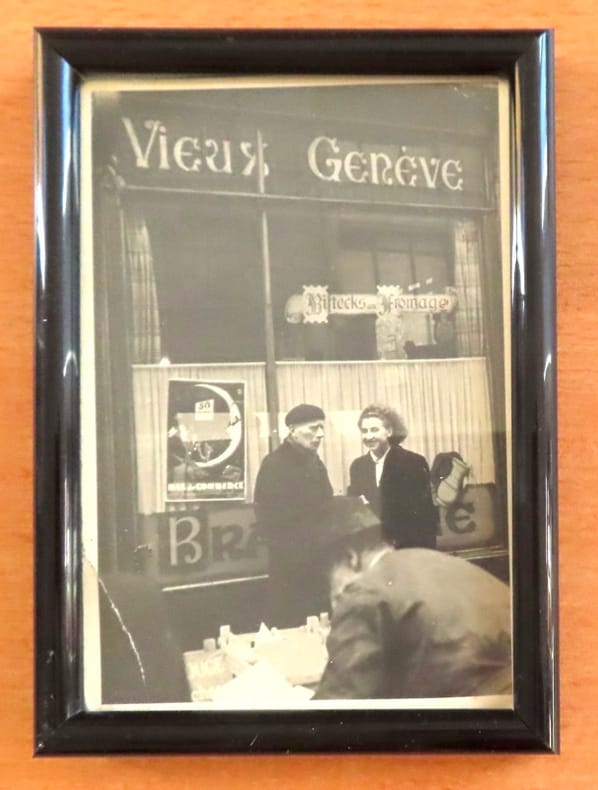
ref. 26122Carte postale du bistro, petit pli au coin inférieur. Encadrée, format du cadre 10 x 14 cm.
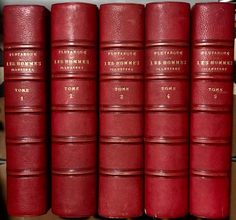
1828ref. 107481828 Paris , Aug. Dubois, 1828-1833; 5 volumes in-4°, demi - chagrin rouge de l'époque, dos à 5 nerfs plats cernés de filets à froid, filet maigre doré sur les nerfs, auteur, titre et tomaison dorés, tête dorée. Illustré de nombreux portraits tirés sur chine appliqué et de cartes et plans hors texte à double page en couleurs.Nous possédons les Tomes I, IX,X, XI et XII de cette édition, reliés en 5 volumes tomés de 1 à 5 et renfermant :Tome I, daté de 1830. Vie de Plutarque. Thésée. Romulus. LI - 324 pp. Portraits et 5 cartes hors texte. / Tome IX , daté de 1828. Alexandre, César. 432 pp. Portraits et 9 cartes sur 11 (manque la carte de l'Italie septentrionale au temps de César et le plan d'Alexandrie). / Tome X, daté de 1831. Nicias, Crassus, Sertorius, Eumène, Artaxerce. 428 - (3)pp. Portraits et 8 cartes sur 9 (manque carte de la Mauritanie). / Tome XI, daté de 1833. Agésilas, Pompée, Phocion. 397pp. Portraits et 8 cartes ou plans. / Tome XII, daté de 1828. Caton d'Utique, Démosthène, Cicéron. 396pp. Portraits et 9 cartes.
1928ref. 37922Altona, Hans Ruhe, 1928. 4 farb. mehrf. gefalt. Ktn. im Maßstab 1:500.000, gezeichnet von Ernst Scharstein (ca. 54,5 x 46,5 cm) + Textheft: 66 S., mit 3 gefalt. Stammtaf. Gr.-8vo. 23,5 cm. OBrosch. Zus. in OHLn.-Schuber.
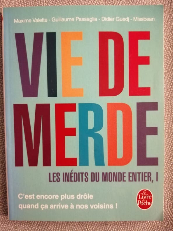
2012ref. 500196306LGF 2012 96 pages 14x1 8x18 4cm. 2012. pocket_book. 96 pages.
1735ref. 20088Paris Prault 1735 In-12 xvi + 523 pp en deux parties , 2 cartes dépliantes et un frontispice. mauvais état de la reliure, 2 plats séparés, A restaurer ?
1978Book is in excellent condition. Binding is solid and square, covers have sharp corners, exterior shows no blemishes, text/interior is clean and free of marking of any kind. Dust jacket has numerous small tears at edges, now wrapped in clear protective cover. 176 pages with large b&w photos throughout, mostly exteriors, some interior, many detail shots, of commercial and public buildings, churches, residences, and misc. structures, maps, drawings; 49 individual structures featured with photos and a detailed description. Buildings include the: Fowler building, Bartlett, Waterman and katz, C.F. Clapp, Franklin House, Capt. Tibbals, Fowler-Caines, Hastings, N.D. Hill, James and Hastings, Terry, Siebenbaum, etc.
2004ref. 100177Great Britain: David & Charles 2004. Victorian Ordnance Survey Maps: London Originally engraved in the early 1820s these four maps cover the Victorian city of London and the surrounding area including Windsor Watford Brentwood Southend Maidstone Guildford and Bracknell. in very good slipcase We carry a wide selection of titles in The Arts Theology History Politics Social and Physical Sciences. Academic and Scholarly books and Modern First Editions and all types of Educational Reference Literature. . First Thus. Very Good. Maps . David & Charles unknown
1979Inscription inside front cover and light indenting to front cover. No other marks, light creasing to covers and spine. A clean very tight copy with lightly rubbed covers and no bumping to corners. 72pp. With coloured photographs and black & white line drawings of this Canadian city with a little text.
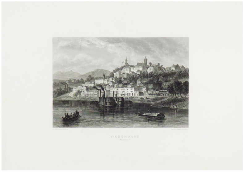
1860ref. LBW-1247Paris, [circa 1860]. 130 x 170 mm.
1981118 pages including index and black and white illustrations. A remarkable volume of archive photographs, early maps, business documents and correspondence from British Columbia's past. Letter and diary excerpts give extraordinary insights into the personalities and problems facing these key figures. Book clean, bright and unmarked with very light wear. Light wear to illustrated dust jacket. Nice copy. Book
ref. 83274Zaltbommel (Pays-Bas), Bibliothèque Européenne, 1984. 21 x 15, sans pagination, 76 illustrations en N/B, reliure d'édition pleine toile, bon état.
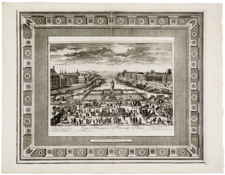
1710ref. LBW-5724Leyde, Pierre Vander Aa, [circa 1710]. 336 x 412 mm.
1760ref. LBW-623Paris, Charpentier, [circa 1760]. 336 x 516 mm.
1740ref. LBW-3228[circa 1740]. 352 x 511 mm.
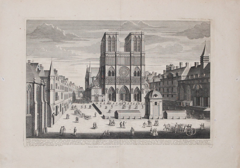
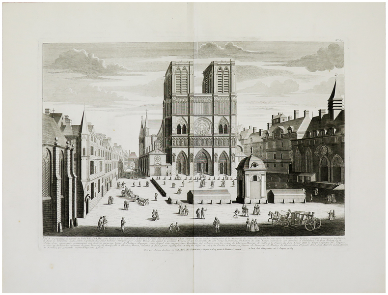
1740ref. LBW-962Paris, Chéreau, [circa 1740]. 352 x 508 mm.