Maps, National GeographicBiblio.com
11.756 resultados
2012ref. SBBI-mon0000051632National Geographic Maps 2012. map. Good. Our good condition books are generally good for reading but not for gifting or collecting. They could have imperfections such as creasing fanning inscriptions margin notes yellowing staining on edge or cover or pages bumps scuffs etc etc sometimes multiple of these. It's a wide category that encompasses anything that isn't almost-new down to anything that is slightly better than poor. We would NOT recommend gifting Good books - these should be considered reading copies. Our books are dispatched from a Yorkshire former cotton mill. We list via barcode/ISBN so please note that the images are stock images and may not be the exact copy you receive furthermore the details about edition and year might not be accurate as many publishers reuse the same ISBN for multiple editions and as we simply scan a barcode or enter an ISBN we do not check the validity of the edition data when listing. If you're looking for an exact edition please don't order at least not without checking with us first although we don't always have time to check. We aim to dispatch prompty the service used will depend on order value and book size. We can ship to most countries see our shipping policies. Payment is via Abe only. National Geographic Maps unknown
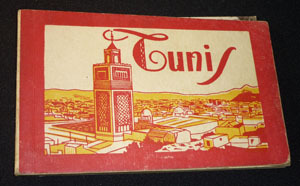
ref. ne186Dos carré collé In-16 à l'italienne (9.5x14.5 cm), ensemble de cartes postales en héliogravures sous couverture illustrée ; cartes postales en bel état, une détachée, défauts à la couverture, bon état général. Livraison a domicile (La Poste) ou en Mondial Relay sur simple demande.
ref. 1887749330.Gspiral_bound. Good. Access codes and supplements are not guaranteed with used items. May be an ex-library book. unknown
ref. SLIVCN-3760024990134MINUS EDITIONS
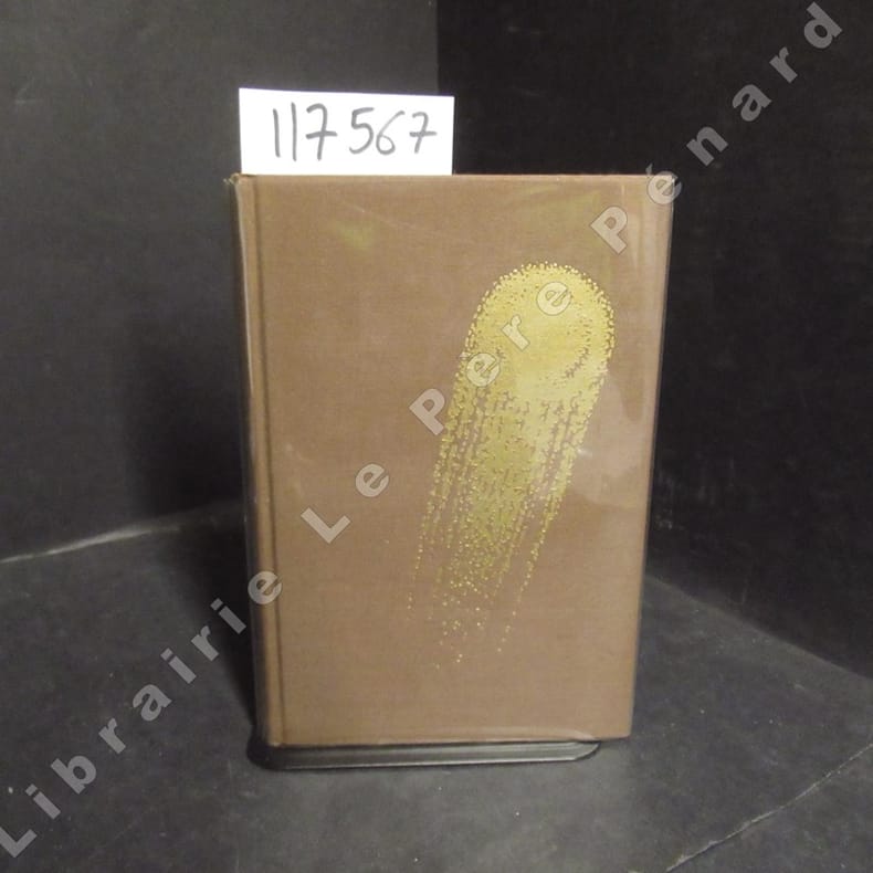
1971ref. 1175671971 Editions Opta, collection "Club du Livre d'Anticipation" (CLA) N° 34 - 1971 - In-8, reliures toilée marron avec titre doré au dos et décor (comète) doré sur le premier plat, sous rhodoïd - VII + 337 pages - Avec sa carte dépliante - Illustré de dessins originaux de Caza - Exemplaire numéroté N° 5486 / 6000
2 Kupferstiche auf 1 Bl. 4to. Zwei Ansichten aus entnommen aus Vischers "Topographia Archiducatus Austriae Inf: Modernae, seu Controfee und Beschreibung aller Stätt Clöster und Schlösser wie sie anietzo in dem Erzhertzogtumb unter Osterreich". Vgl. Nebehay/W. 783.
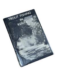
1950ref. 8975Nairobi Kenya: Printed in E. Africa by W. Boyd & Co 1950. First edition. 18x13cm 64pp. Illustrated ads photos fold out map attached at rear. Staple bound in illustrated wrappers. Old tape reinforcement to spine edges rubbed owner's name to front cover. Upper corners stained else clean internally and very good. Very scarce mid-century publication a guide for English and American sportsmen seeking angling opportunities in Kenya Colony. Brown and Rainbow Trout eggs were introduced into the rivers by colonists around 1905. The sport was a popular pastime for the colonists and tourist fishing in the region continues to thrive today. The three color map at rear shows the Kenya Highlands with principle trout rivers roads and railways. OCLC cites a single holding at the University of California. Printed in E. Africa by W. Boyd & Co unknown
1987Previous owner's bookplate to front end paper. No marks or inscriptions. Extremely faint crease to front cover, none to rear or to spine. A lovely clean very tight copy with bright unmarked boards and no bumping to corners. 80pp. This work of full-page colour photographs by Paul Graham deals with the small but insistent signs of deep political division within the landscape of Northern Ireland in the 1980s. 'The foreword by Declan McGonagle contrasts the work against the melodramatic imagery of the North and places the Troubles in a broader framework of the marginalisation and denial of power that has been the hallmark of British cononialism for centuries. The main text by Gerry Badger examines the genre of reportage photography and positions this work within a new generation of intelligent documentary photography that represents ideas rather than furnishing simple visual records or illustrating words.'
1888ref. J4KDIGIVEPWUFrance 1888. Brown and black ink watercolour chalk and gold paint on paper mounted on several laminated sheets of paper 69.5 x 52.5 cm. Charming trompe-l'oeil of maps of European countries on a decorated background somewhat reminiscent of a church ceiling. It contains a French inscription "to my beloved parents" which together with some inconsistencies in the use of perspective suggest a young French artist. The maps show some interesting departures from reality: in the Netherlands parts of the province of Gelderland are shifted 50 kilometres to the north replacing Zwolle with Arnhem and Sweden lacks Stockholm but includes Copenhagen in place of Malmö. However the most humorous is in the map of Germany which lacks its western neighbours - the Netherlands Belgium Luxemburg and France - giving it an extensive North Sea coast. The gothic lettering is inconsistent in style with the artist apparently improvising an alphabet for each inscription in the process forgetting Denmark.Somewhat soiled and browned at the edges with several white spots due to overpainting; the sheets are coming loose from one another. unknown
ref. SLIVCN-9782894887707L'ENVOLEE (CA)
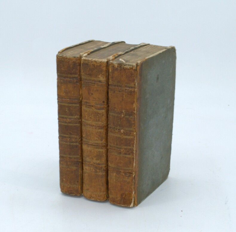
1785ref. PHO-1570Paris, Moutard, 1785. 3 volumes in-8, demi veau époque, dos à nerfs, charnières fendues, coiffes absentes, coin et coupes usés, 3ff.-viii-519pp., 2ff.-591pp., 2ff.-477pp., quelques rousseurs.
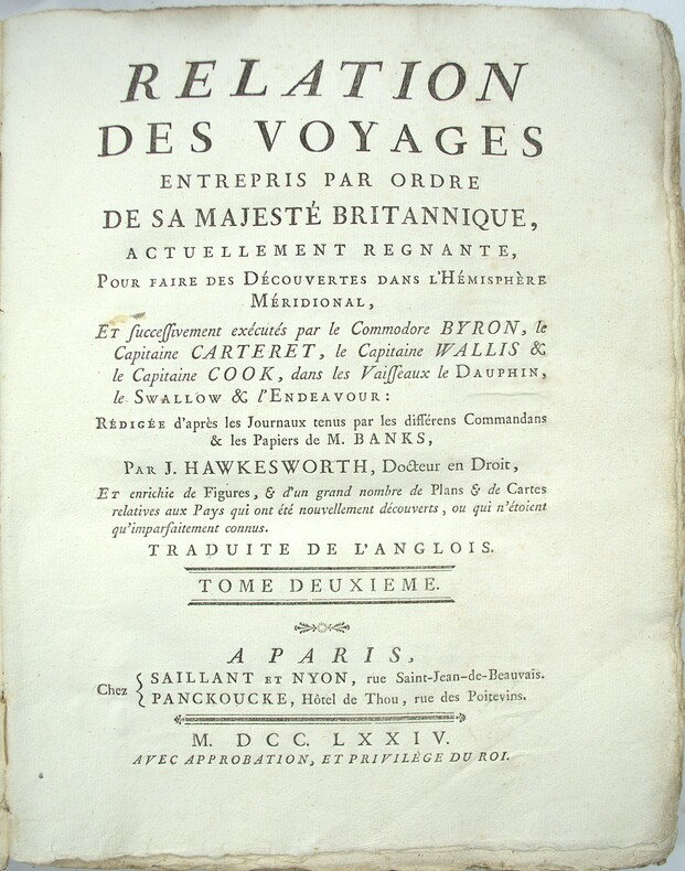
1785ref. PHO-2103Paris, Hôtel de Thou, 1785, 1 volume in-4 (20x26cm), reliure d’attente, frottements, manque au dos, à grandes marges, tel que paru, sans les planches qui n’ont pas été relié dans cet exemplaire
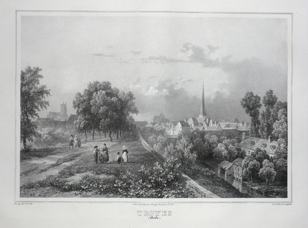
ref. LBW03d4cParis Benard circa 1850 224 x 298 mm.
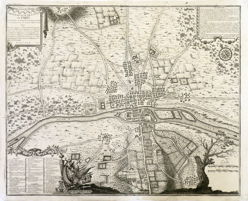
1720ref. LBW-3723[Paris, circa 1720]. 424 x 526 mm.
ref. SLIVCN-3770007879363KEROZENN
1780Pianta del rione tratta dalla celebre guida di Roma di Dominique Magnan La ville de Rome, ou, Description abrégée de cette superbe ville: divisée en quatre volumes: et ornée de 425 planches en taille douce. A Rome: De l'imprimerie d'Archange Casaletti ... : Chez Venan. Monaldini, Bouchard et Gravier : Gregoire Settari ..., 1778. Dominique Magnan (1731–1796), dotto abate francese del convento della Trinità dei Monti, dell'ordine dei minimi, a Roma, che fu profondamente coinvolto nella vita intellettuale della sua comunità durante la seconda metà del XVIII secolo. Ha studiato all'università di Avignone, poi si è unito ai Minimi di La Ciotat all'età di 20 anni, dove ha iniziato la sua carriera come collezionista di monete e medaglie antiche. Nominato professore di teologia a Marsiglia, ha continuato il suo lavoro. Si mise in contatto con i più famosi antiquari dell'epoca, sia in Italia che in Germania, e acquisì rapidamente una vasta reputazione. I suoi primi libri hanno ricevuto il plauso della critica. Ma i suoi lavori più significativi erano sulla numismatica sebbene fortemente criticati dagli specialisti dell'epoca in quanto la copertura universale e completa del soggetto poteva mantenere la confusione tra monete autentiche e false. Bibliografia: Rossetti, G-1285; Schudt 363. Map taken from the famous guide of Rome by Dominique Magnan La ville de Rome, ou, Description abrégée de cette superbe ville: divisée en quatre volumes: et ornée de 425 planches en taille douce. A Rome: De l'imprimerie d'Archange Casaletti ... : Chez Venan. Monaldini, Bouchard et Gravier : Gregoire Settari ..., 1778. Dominique Magnan (1731–1796), a learned French abbot of the Trinità dei Monti convent, of the order of the minims, in Rome, who was deeply involved in the intellectual life of his community during the second half of the 18th century. He studied at the University of Avignon, then joined the Minims of La Ciotat at age 20, where he began his career as a collector of ancient coins and medals. Appointed professor of theology in Marseille, he continued his work. He got in touch with the most famous antiquaries of the time, both in Italy and Germany, and speedily acquired an extensive reputation. His first books received critical acclaim. But his most significant works were on numismatics though heavily criticized by specialists of the time in that universal and complete coverage of the subject could maintain confusion between authentic coins and the fake ones. Bibliografia: Rossetti, G-1285; Schudt 363.
1764(København, 1764). Kobberstukket prospekt af kirken. (17x24,5 cm.). Stukket af J. Haas. På skrivepapir. Et par svage brunpletter i marginer og en repareret rift i nederste margin.
1973No marks or inscriptions. Minor creasing to covers adjacent to spine. A very clean very tight booklet with bright unmarked boards and no bumping to corners. Large fold-out street plan and map on rear in excellent condition. 40pp. Official guide the the Hertfordshire town of Tring with history, Local Authority information and photographs of the town in the early 1970s. Extremely scarce.
1764ref. 53301(København, 1764). Kobberstukket prospekt af kirken. (17x24,5 cm.). Stukket af J. Haas. På skrivepapir. Et par svage brunpletter i marginer og en repareret rift i nederste margin.
1935ref. 57951935 Paris les éditions de France sans date (1935) In12 broché 228 pages
1760ref. LBW-575Paris, Chéreau, [circa 1760]. 336 x 510 mm.
ref. 5406Les Humanoïdes Associés. Ravissant triptyque de présentation, à l'état de neuf.
1913156 pages. Index. Excellent black and white photos. Nice colour map entitled "Forest Distribution in Trent River Watershed" (34"x36") stored in pocket inside back board. Also present is a colour map entitled "Crown Timber Lands 1912" which covers the same geography and measures 21"x20". Final item in pocket is a chart showing "Classification of Land, Trent Watershed, Ont. 1912". Gilt lettering upon backstrip and front board. Initials upon front free endpaper else unmarked. Binding sound. Average wear. Sound copy. Book
1989Book is in excellent condition, with one crease at spineas only blemish to exterior. Binding is solid and square, covers have sharp corners, exterior shows no blemishes, text/interior is clean and free of marking of any kind. 433 pages with color photo section. Previous owner's name inside.
1988304 p. Numerous photographic illustrations by Jonathan Wallen. 4to. Original full cloth binding. Dust jacket. First Edition. Published at $60.00. Fascinating tour through the collections of one of the greatest American libraries. The New York Public Library houses more than 8 million volumes, 23 million manuscripts and half a million recordings. Includes: Washington's Farewell Address; the first Gutenberg B ible ever brought to this hemisphere; rare globes and maps; musical scores; and much more. A lavish history. **PRICE JUST REDUCED! REF1